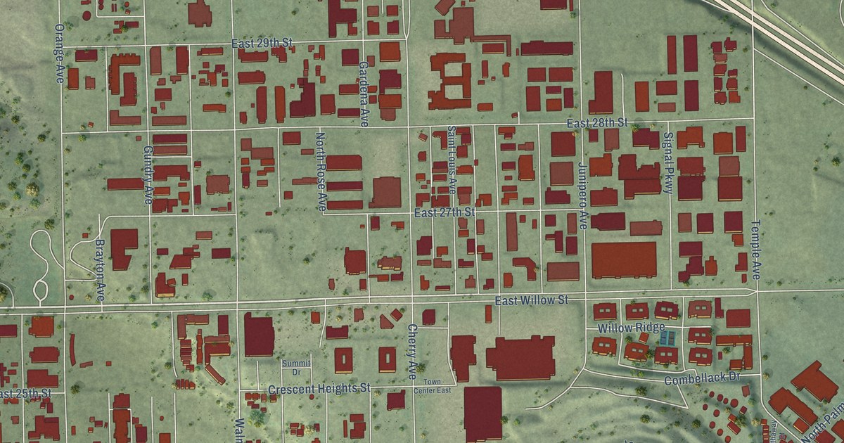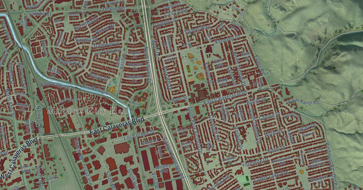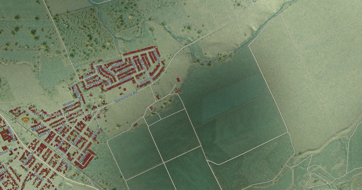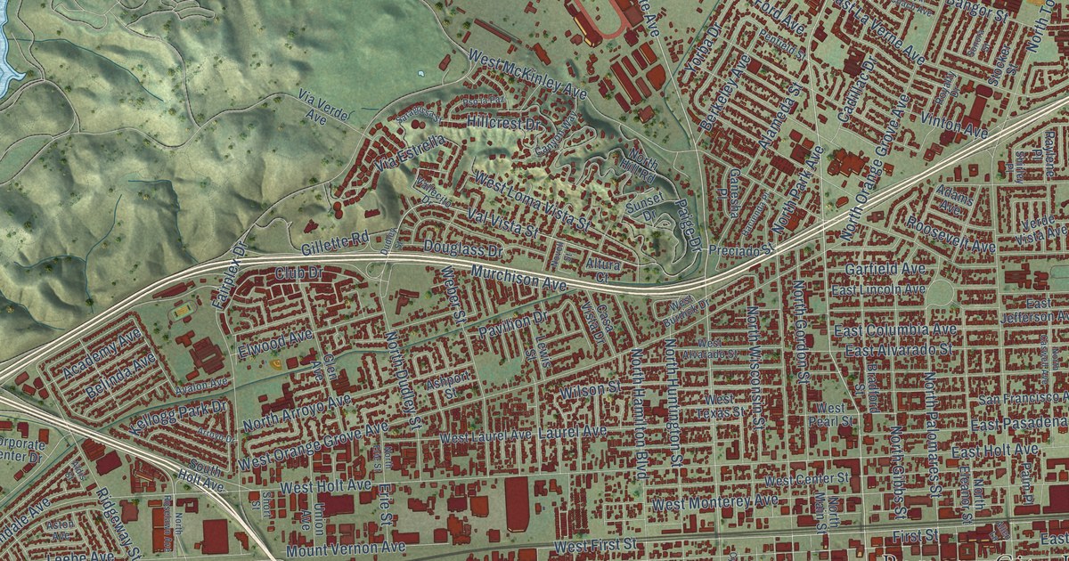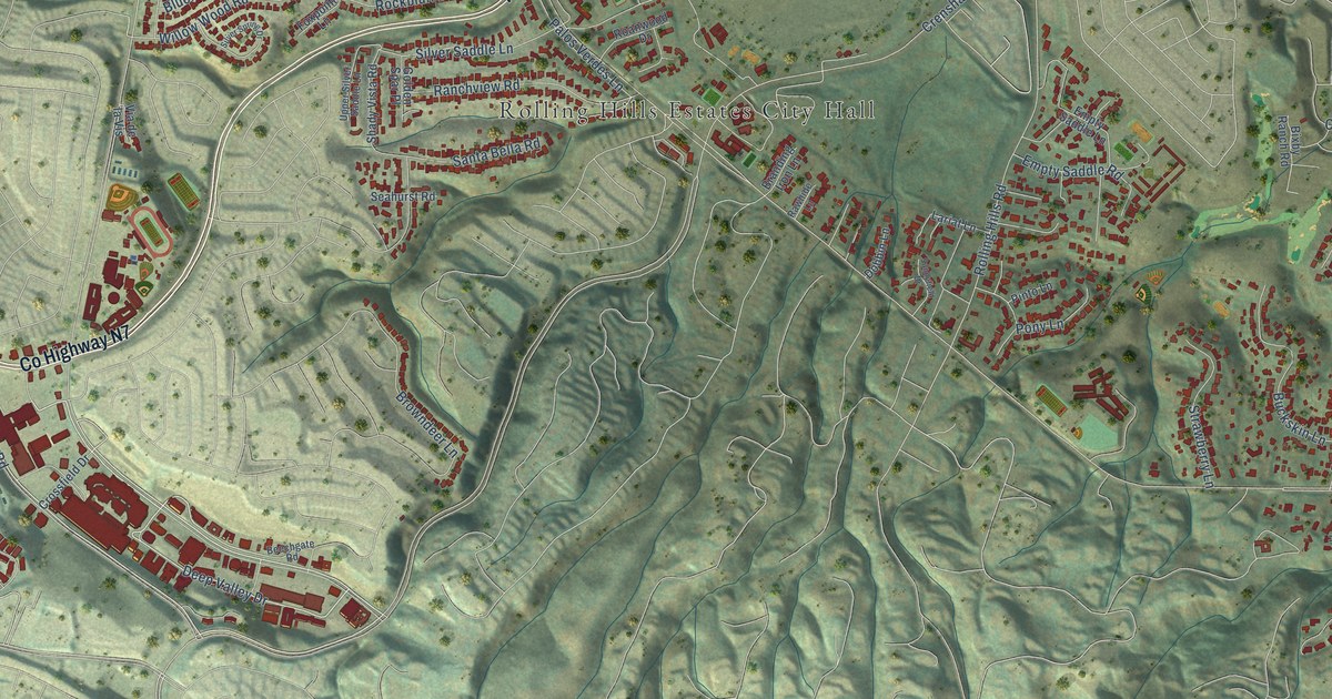
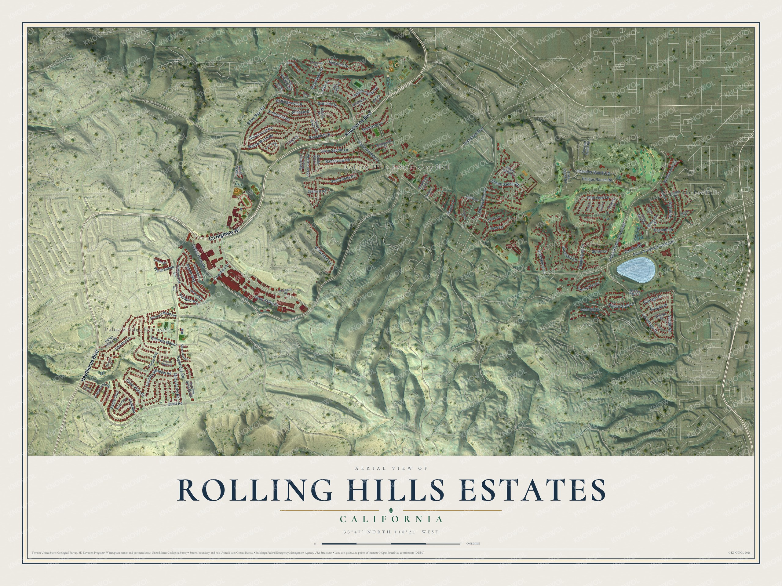
This beautifully detailed map of Rolling Hills Estates, California was created in 2026 using aerial imagery combined with modern topographical, census, street and landmark data. It's a modern aerial view of Rolling Hills Estates in Los Angeles County, California, that combines modern data with a vintage aesthetic. The roads feature printed names, and if you look closely you can find your exact house accurately shown in its correct location.
Explore an aerial view of Rolling Hills Estates, California
On this map you'll find Rolling Hills Estates City Hall, Palos Verdes Peninsula, Harbor Hills, Hawthorne Boulevard, Co Highway N7, Deep Valley Drive, Silver Spur Road, Saddle Road, Highridge Road, Crest Road, Crenshaw Boulevard, Chandler Ranch Road, and more. Each red shape is a building, so zoom in on the preview and look for yours.
Rolling Hills Estates is a city in Los Angeles County. The Census Bureau counted 8,280 people here in 2020. The map prints the town name in its title panel, with the coordinates below it.
Take a closer look at the Rolling Hills Estates map
Names on this map
These names are printed on this map.
Places: Rolling Hills Estates City Hall, Palos Verdes Peninsula and Harbor Hills.
Streets and roads: Hawthorne Boulevard, County Highway N7, Deep Valley Drive, Silver Spur Road, Saddle Road, Palos Verdes Drive North, Palos Verdes Drive East, Highridge Road, Crest Road, Crenshaw Boulevard, Chandler Ranch Road, Country Lane.
More street names, A to Z
Anacapa, Aspen Way, Aurora Drive, Bay Mare Lane, Beechgate Road, Bixby Ranch Road, Bluemound Road, Branding Iron Lane, Bridlewood Circle, Browndeer Lane, Buckskin Lane, Carriage Drive, Casaba Road, Celeste Place, Cerrito Place, Clear Vista Drive, Club View Lane, Colina Lane, Conestoga Drive, Cottonwood Circle, Country Meadow Road, Covered Wagon Lane, Cresta Verde Drive, Crossfield Drive, Cypress Way, Dapplegray Lane, Deerhill Drive, Dobbin Lane, Dorado Place, Elmdale Drive, Empty Saddle Lane, Empty Saddle Road, Encanto Drive, Estribo Drive, Ferncreek Drive, Foxpoint Lane, Gaucho Drive, Golden Spar Place, Harbor Sight Drive, Hidden Valley Road, Hillcrest Manor, Hillcrest Meadows, Hitching Post Drive, Indian Peak Road, Indian Valley Road, Kingspine Road, Lantana Place, Lariat Lane, Latigo Lane, Lazy Creek Lane, Marina Drive, Marloma Drive, Masongate Drive, Misty Acres Road, Moccasin Lane, Montecillo Drive, Oaktree Lane, Palos Verdes Lane, Peacock Lane, Peartree Lane, Pepper Tree Lane, Phillips Ranch Road, Pinto Lane, Ponderosa Lane, Pony Lane, Ranchview Road, Range Horse Lane, Rawhide Lane, Roanwood Drive, Rockbluff Drive, Rolling Hills Road, Rolling Meadows Road, Rollingwood Drive, Rustler Lane, Santa Bella Road, Santa Cruz, Santa Rosa, Seahurst Road, Seaview Drive South, Shady Vista Road, Silverbit Lane, Silver Eagle Road, Silver Saddle Lane, Silver Spring Drive, Sorrel Lane, Spinning Wheel Lane, Spruce Way, Stable Way, Stonecrest Road, Strawberry Lane, Sugarhill Drive, Sunnyfield Drive, Sycamore Lane, Thorsen Ranch Road, Upper Silver Saddle Lane, Via de la Vis, Via Granada, Via Sevilla, Vista Real Drive, Wildhorse Lane, Willow Wood Road.
Created by KNOWOL in 2026. The buildings are small red shapes, the roads carry their printed names, and shaded relief shows the shape of the land. The title panel reads "AERIAL VIEW OF ROLLING HILLS ESTATES CALIFORNIA" with 33°47' NORTH 118°21' WEST.
Hang it in the hallway, the office or the cabin, or give it to someone who left Rolling Hills Estates and still calls it home. Open the preview and look for a street you know. See sizes and frames for the Rolling Hills Estates map.