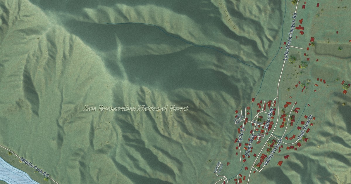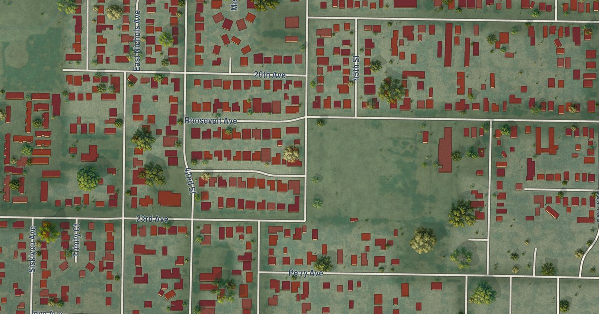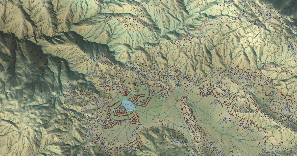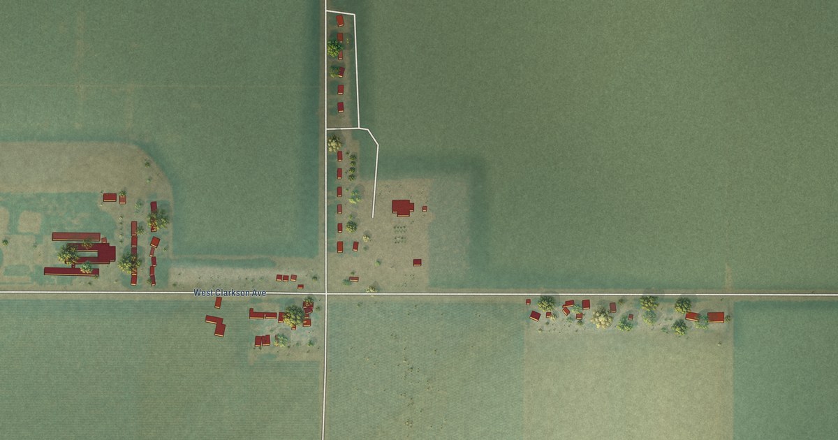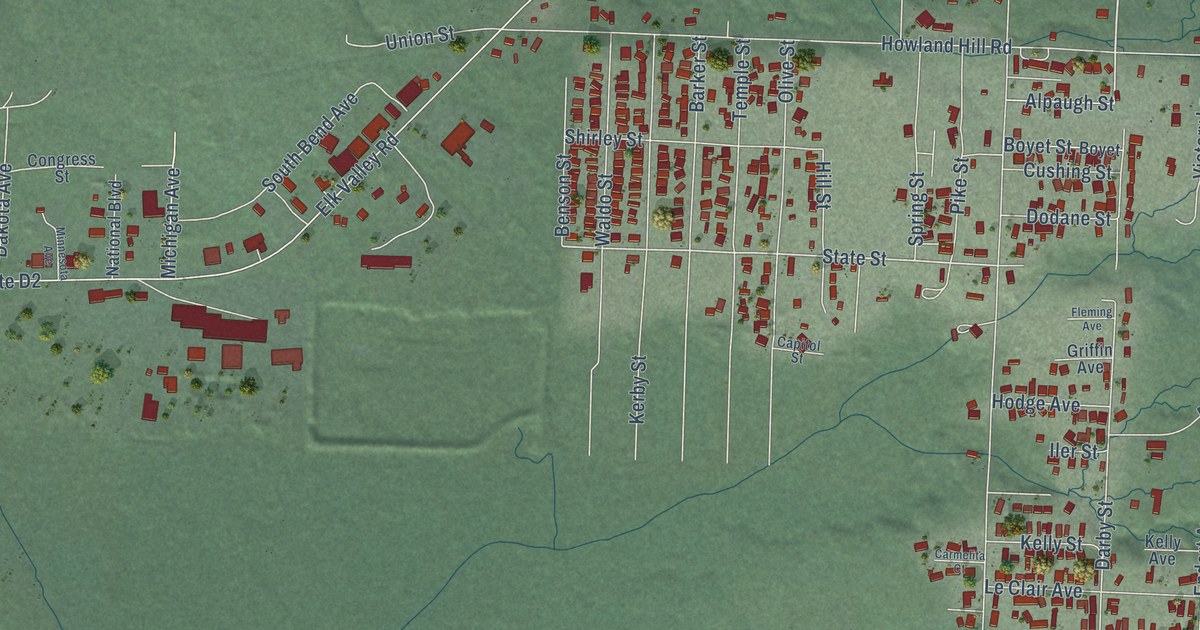
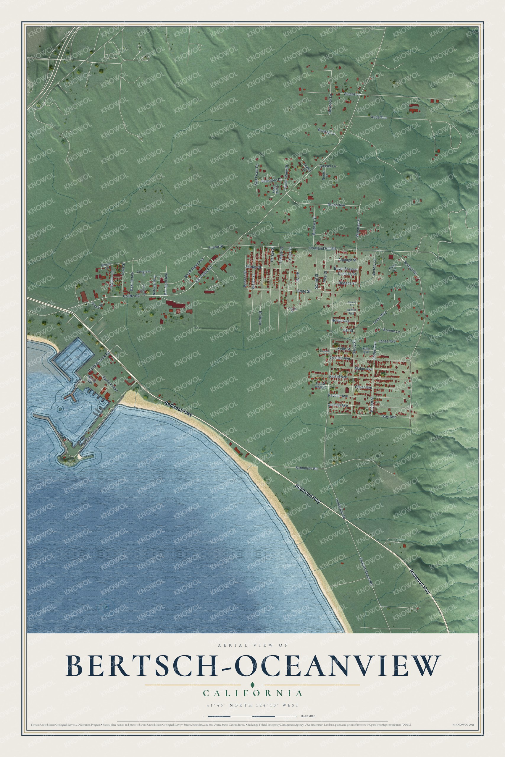
This beautifully detailed map of Bertsch-Oceanview, California was created in 2026 using aerial imagery combined with modern topographical, census, street and landmark data. It's a modern aerial view of Bertsch-Oceanview in Del Norte County, California, that combines modern data with a vintage aesthetic. The roads feature printed names, and if you look closely you can find your exact house accurately shown in its correct location.
Explore an aerial view of Bertsch-Oceanview, California
On this map you'll find Redwood Highway, Wyentae Street, Norris Avenue, Darby Street, Endert Avenue, State Street, Elk Valley Road, Humboldt Road, Howland Hill Road, Bertsch Street, Aubell Lane, Anchor Way, and more. Each red shape is a building, so zoom in on the preview and look for yours.
Bertsch-Oceanview is a community in Del Norte County. The Census Bureau counted 2,520 people here in 2020. Bertsch-Oceanview sits about 2 miles southeast of Crescent City, 6 miles southwest of Hiouchi and 8 miles south of Fort Dick. The map prints the town name in its title panel, with the coordinates below it.
Take a closer look at the Bertsch-Oceanview map
Names on this map
These names are printed on this map.
Streets and roads: Redwood Highway, Wyentae Street, Norris Avenue, Darby Street, Endert Avenue, State Street, County Route D2, Elk Valley Road, Humboldt Road, Howland Hill Road, Bertsch Street, Aubell Lane.
More street names, A to Z
Alpaugh Street, Ames Way, Anchor Way, Barker Street, Beckett Lane, Benson Street, Bonnie Lane, Boyet, Boyet Street, Capitol Street, Carmelita Court, Cassel Lane, Citizens Dock Road, Congress Street, Cowley Lane, Cushing Street, Dakota Avenue, Dodane Street, Enderts Beach Road, Endert Street, Fleming Avenue, Forest View Court, Griffin Avenue, Harbor View Drive, Heacock Lane, Hill Street, Hinky Lane, Hodge Avenue, Iler Street, Iowa Street, Jones Avenue, Jones Street, Kelly Avenue, Kelly Street, Kerby Street, Le Clair Avenue, Maher Avenue, Maiden Lane, Marine Way, Mathews Street, Michigan Avenue, Minnesota Avenue, National Boulevard, Nelson Lane, Nickel Avenue, Norma Court, Oliver Avenue, Olive Street, Peveler Avenue, Pike Street, Quinlan Avenue, Roy Avenue, Sandmine Road, Sea Foam Drive, Seashore Drive, Shirley Street, Shore Cliff Drive, South Bend Avenue, Spring Street, Starfish Way, Steeps Lane, Temple Street, Union Street, Victory Lane, Waldo Street.
See it on a wall
The Bertsch-Oceanview map as a framed print. Swipe for more.


Created by KNOWOL in 2026. The buildings are small red shapes, the roads carry their printed names, and shaded relief shows the shape of the land. The title panel reads "AERIAL VIEW OF BERTSCH-OCEANVIEW, CALIFORNIA" with 41°45' NORTH 124°10' WEST.
It looks right in a kitchen, an office or a den, and it's a gift for anyone who grew up in Bertsch-Oceanview or moved away. Open the preview and find your street. See sizes and frames for the Bertsch-Oceanview map.