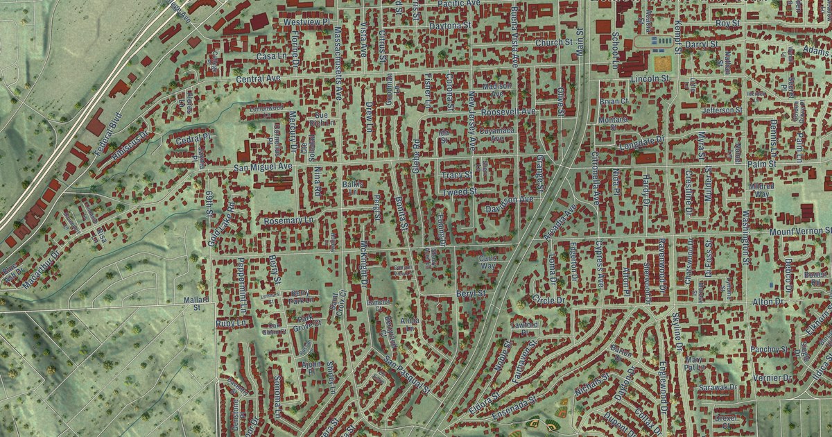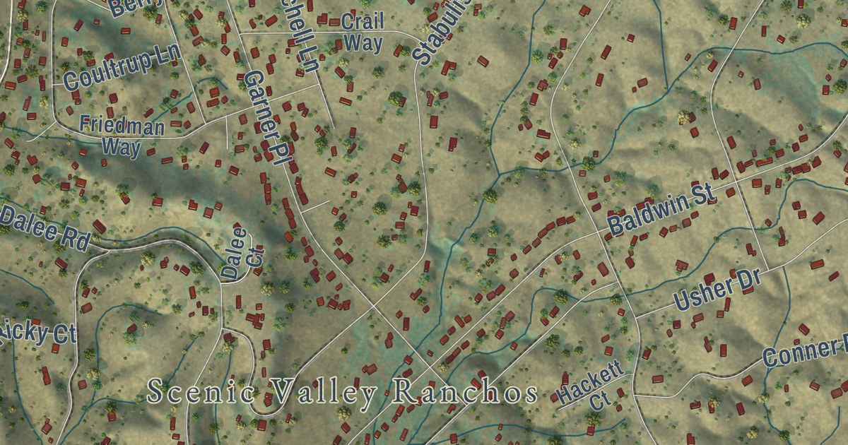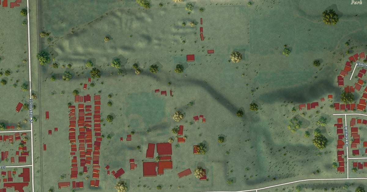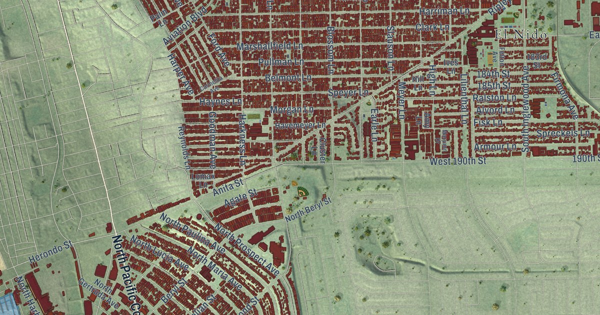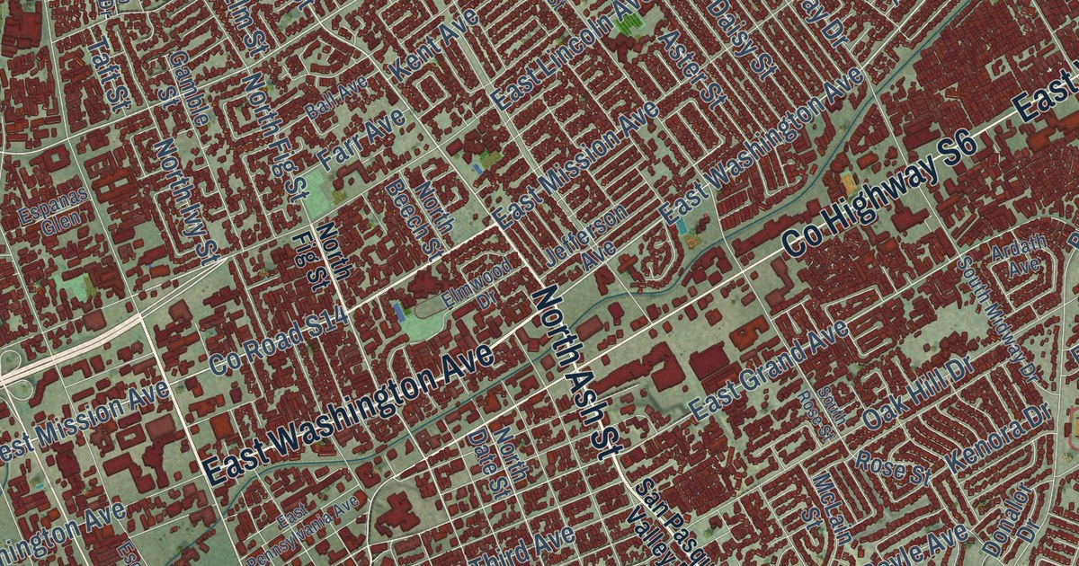
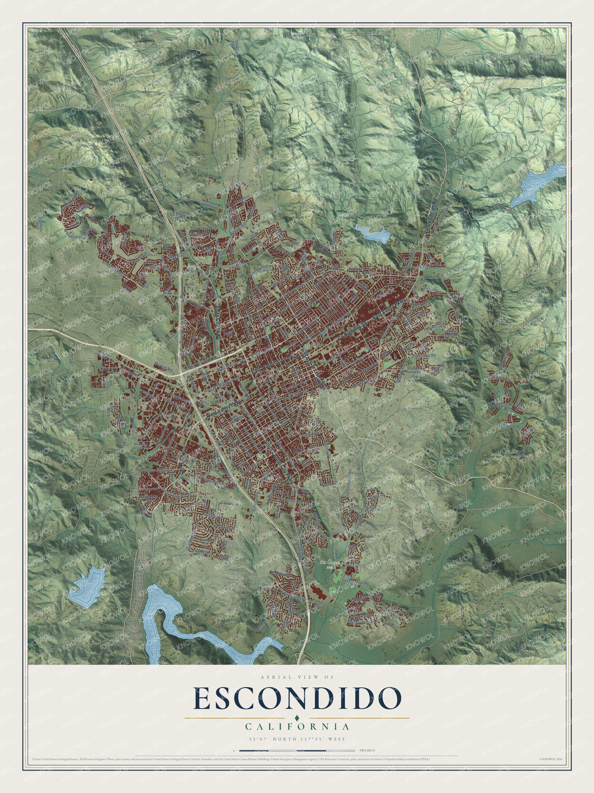
This beautifully detailed map of Escondido, California was created in 2026 using aerial imagery combined with modern topographical, census, street and landmark data. It’s a one-of-a-kind view of Escondido that combines accurate data with a vintage aesthetic. The map shows every building in its true location, many of the roads carry their names, and the shaded topographic relief shows the shape of the land.
Explore an aerial view of Escondido, California
On the map you’ll find Daley Ranch, Dixon Lake Park, and Kit Carson Park, along with County Highway S6, East Washington Avenue, Valley Center Road, East Valley Parkway, Centre City Parkway, South Centre City Parkway, West Valley Parkway, Del Dios Highway, Bear Valley Parkway, and more. If you look closely you can even find your house accurately drawn in its correct location. Zoom in on the preview to look for yours.
Did you know this piece of Escondido, California history?
From the San Diego History Center: "On March 1, 1886, the Escondido Company deeded the grant to the newly formed Escondido Land & Town Company, which proceeded to subdivide the valley into small farms and lay out the town site."
Take a closer look at the Escondido map
Street and place names on the Escondido, California map
These names are printed on the map of Escondido, California.
Places: Daley Ranch, Dixon Lake Park and Kit Carson Park.
Streets and roads: East Washington Avenue, North Ash Street, County Highway S6, East Valley Parkway, Centre City Parkway, South Centre City Parkway, West Valley Parkway, Del Dios Highway, Valley Center Road, Woodland Heights Glen, North Broadway, East Lincoln Avenue.
More street names, A to Z
Alamo Lane, Alexander Drive, Amber Lane, Amparo Drive, Andorre Glen, Ardath Avenue, Aster Street, Auto Park Way, Autopark Way, Autopark Way North, Avenue del Diablo, Avenue Hacienda, Bahia Lane, Ball Avenue, Barbara Street, Bear Valley Parkway, Beethoven Drive, Bernardo Avenue, Beven Drive, Blossom Hill Lane, Borden Road, Boyle Avenue, Brillwood Hill Road, Brotherton Road, Burnet Drive, Cam Bailen, Cam Marzagan, Candlelight Glen, Canyon Creek Road, Canyon Crest Drive, Canyon Grove Drive, Canyon Road, Canyon View Glen, Chestnut Drive, Chestnut Street, Choya Canyon Road, Circle Drive, Citracado Parkway, Cleo Court, Cleveland Avenue, Cll de Alcala, Cll Montera, Cody Lane, Continental Lane, Conway Drive, Corral Glen, Cortez Avenue, Cortina Circle, Cougar Pass Road, Country Club Drive, Country Club Lane, Country View Glen, County Road S14, Coyote Hill Glen, Cranston Drive, Crest Drive, Daisy Street, Darby Street, David Drive, Deodar Road, Dexter Place, Dimaio Way, Donalor Drive, Don Lee Place, Douglaston Gln, Drew Road, Earl Glen, East 13th Avenue, East 17th Avenue, East Barham Drive, East El Norte Parkway, East Fifth Avenue, East Grand Avenue, East Mission Avenue, East Pennsylvania Avenue, East Tenth Avenue, East Third Avenue, El Ku Avenue, Elmwood Drive, El Norte Parkway, Emeraude Glen, Encanto Drive, Encino Drive, Ent Glen, Erica Street, Espanas Glen, Eucalyptus Avenue, Eureka Drive, Fallbrook Place, Farr Avenue, Felicita Road, Flint Avenue, Forest Glen, Foy Lane, Froebel Drive, Gale Street, Gamble Lane, Gamble Street, Gary Lane, Gianelli Lane, Glenridge Road, Golden Circle Drive, Green Avenue, Guilder Glen, Haas Street, Habero Drive, Hamilton Lane, Harmony Grove Road, Hawaii Place, Hidden Estate Lane, Hidden Oaks Lane, Hidden Trails Road, Holly Avenue, Honeybell Lane, Howard Avenue, Howe Place, Hubbard Avenue, Huckleberry Lane, Hypoint Avenue, Idaho Avenue, Imperial Drive, Industrial Avenue, Inspiration Lane, Iona Court, Iris Way, Jack Rabbit Acres, Jacks Creek Road, James Street, Jed Road, Jefferson Avenue, Jesmond Dene Road, Johnston Road, Kal Glen, Kauana Loa Drive, Kenora Drive, Kent Avenue, Kings Way, La Honda Drive, Lake Forest Street, Lake Wohlford Road, Las Brisas Drive, Las Palmas Avenue, La Terraza Boulevard, Laura Drive, Laura Lane, Lee Avenue, Lehner Avenue, Leslie Lane, Libre Glen, Live Oak Road, Loma Lane, Lomas Serenas Drive, Loma Vista Drive, Loreto Glen, Lorry Lane, Mary Lane, McLain Street, Metcalf Street, Meyers Avenue, Miller Avenue, Mirar de Valle, Mission Road, Momar Lane, Monte Real, Montiel Road, Moody Drive, Morning View Drive, Mountain View Drive, Nabal Street, Nob Hill Drive, Nordahl Road, North Avenue, North Beech Street, North Citrus Avenue, North Date Street, North Elm Street, North Escondido Boulevard, North Fig Street, North Hale Avenue, North Iris Lane, North Ivy Street, North Midway Drive, North Nutmeg Street, North Quince Street, North Rose Street, North Spruce Street, North Tulip Street, Oak Hill Drive, Oak Valley Lane, Oak View Way, Old Guejito Grade Road, Old Ranch Road, Orange Avenue, Orchard View Lane, Pamela Lane, Park Drive, Park Hill Lane, Pasatiempo Glen, Paula Street, Peet Lane, Pinecrest Avenue, Pine Valley Gln, Portola Avenue, Quiet Hills Drive, Reed Road, Rees Road, Richland Road, Rimrock Drive, Rincon Avenue, Rincon Road, Rock Springs Road, Rockwood Road, Rohn Road, Rose Street, San Pasqual Road, San Pasqual Valley Road, Scenic Drive, Seven Oakes Road, Shadyridge Avenue, Sheridan Avenue, Sierra Linda Drive, Simpson Way, Skyline View Glen, Skyridge Lane, Slivkoff Drive, Slivkoff Road, Soria Glen, South Andreasen Drive, South Broadway, South Citrus Avenue, South Del Dios Road, South Escondido Boulevard, South Escondito Boulevard, South Hale Avenue, South Hayden Drive, South Hickory Street, South Iris Lane, South Juniper Street, South Midway Drive, South Pine Street, South Redwood Street, South Rose Street, South Tulip Street, South Upas Street, Stanley Avenue, Sungold Way, Sunrise Way, Sunset Drive, Taft Street, Tanglewood Lane, Teal Glen, Tierra Vista Place, Timber Creek Lane, Toyon Glen, Venture Street, Verda Avenue, Vermel Avenue, Via Rancho Parkway, View Crest Glen, Village Road, Vintage Place, Vista Avenue, Vista Verde Drive, Vista Verde Way, Wanek Road, West 13th Avenue, West 15th Avenue, West Citracado Parkway, West Country Club Lane, West El Norte Parkway, West Felicita Avenue, West Fifth Avenue, West Lincoln Avenue, West Mission Avenue, West Ninth Avenue, West Third Avenue, West Washington Avenue, Wild Oak Lane, Willowbrook Street, Woodland Parkway.
See the Escondido, California map on a wall
The Escondido map as an 18 x 24 inch print in a black frame.

This beautifully detailed map of Escondido makes an attractive addition to your office, library, or den, and it can even be used to teach children the geography and history of the area. It also makes a great gift for anyone who grew up in Escondido or moved away. When you’re done exploring, click here to get your copy of the Escondido map.