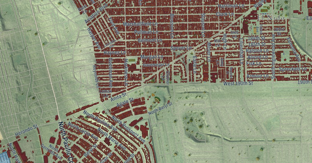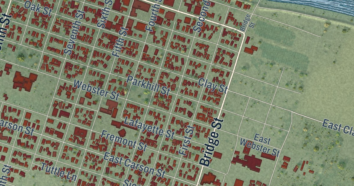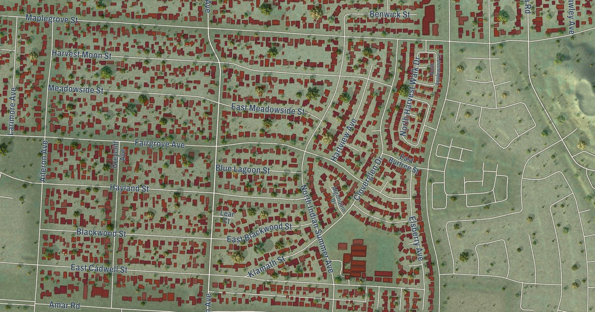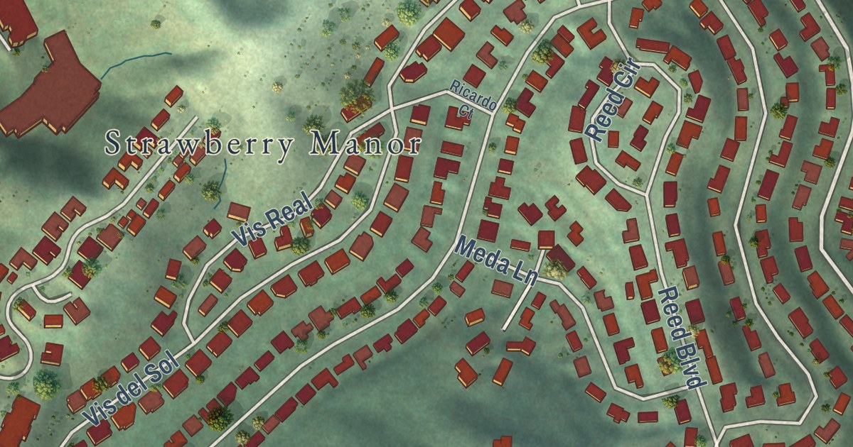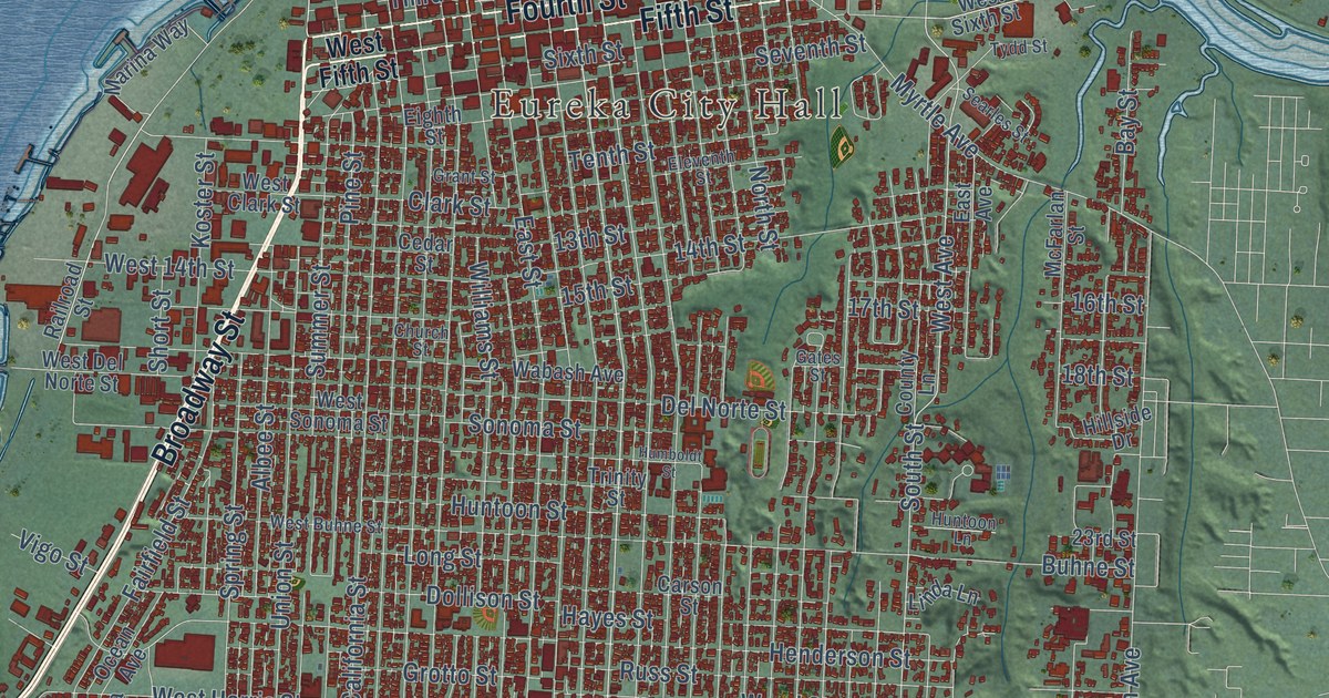
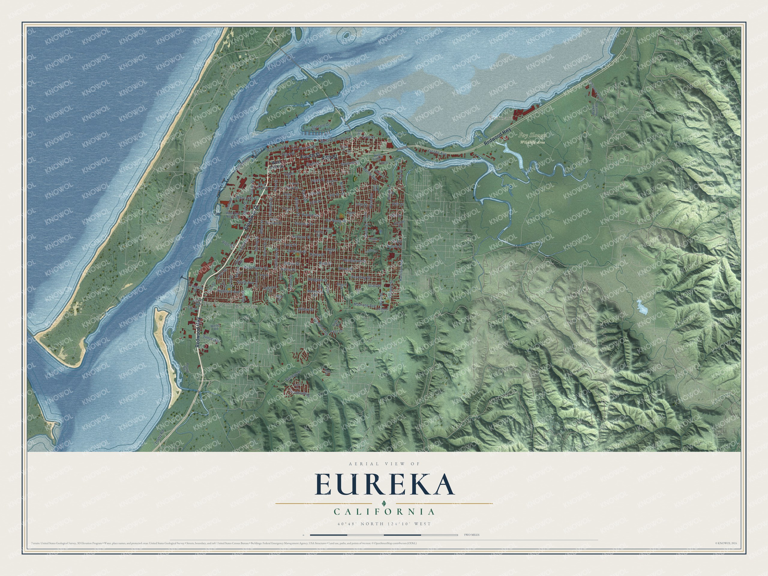
This beautifully detailed map of Eureka, California was created in 2026 using aerial imagery combined with modern topographical, census, street and landmark data. It’s a one-of-a-kind view of Eureka that combines accurate data with a vintage aesthetic. The map shows every building in its true location, many of the roads carry their names, and the shaded topographic relief shows the shape of the land.
Explore an aerial view of Eureka, California
On the map you’ll find Eureka City Hall, Brainard, Fay Slough Wildlife Area, Sequoia Park, and Bayview, along with Redwood Highway, Broadway Street, Fifth Street, Fourth Street, South Street, West Avenue, Glen Street, and more. If you look closely you can even find your house accurately drawn in its correct location. Zoom in on the preview to look for yours.
Did you know this piece of Eureka, California history?
Eureka became the region’s major water gateway before good roads reached the remote coast. The Greek name was a miners’ expression meaning they had found it. That’s from the California Office of Historic Preservation.
Take a closer look at the Eureka map
Street and place names on the Eureka, California map
These names are printed on the map of Eureka, California.
Places: Eureka City Hall, Brainard, Fay Slough Wildlife Area, Bucksport and Bayview.
Streets and roads: Redwood Highway, Broadway Street, Fifth Street, Fourth Street, West Avenue, Madrone Avenue, Tooby Road, Summer Street, South Street, First Street, 18th Street, Utah Street.
More street names, A to Z
13th Street, 14th Street, 15th Street, 16th Street, 17th Street, 23rd Street, Albee Street, Allard Avenue, Andrew Street, Bay Street, Boyle Drive, Bryant Street, Buhne Street, California Street, Campton Road, Carson Street, Cedar Street, Church Street, Clark Street, Cottage Street, County Lane, Del Norte Street, Dolbeer Street, Dollison Street, Duck Street, East Avenue, East Street, Eighth Street, Eleventh Street, Elizabeth Street, Everding Street, Eye Street, Fairfield Street, Fairway Drive, Fern Drive, Fifth Avenue, Fort Street, Front Street, Gates Street, Glatt Street, Glen Street, Grant Street, Gross Street, Grotto Street, Harrison Avenue, Harris Street, Hayes Street, Hemlock Street, Henderson Street, Highland Avenue, Highland Street, Hillside Drive, Hodgson Street, Humboldt Street, Huntoon Lane, Huntoon Street, Indianola Cutoff, Ingley Street, Jacobs Avenue, Jay Lane, Koster Street, Leslie Road, Linda Lane, Long Street, Lowell Street, Lundblade Drive, Manzanita Avenue, Marina Way, McFarlan Street, Myrtle Avenue, Nevada Street, New Street, North Street, Ocean Avenue, Pine Street, Pound Road, Railroad Street, Russ Street, Searles Street, Second Street, Seventh Street, Short Street, Sixth Street, Snug Alley, Sonoma Street, South Avenue, Spring Street, Startare Drive, Sunset Road, Tenth Street, Third Street, Trinity Street, Truesdale Street, Tydd Street, Union Street, Vigo Street, Vista Drive, Wabash Avenue, Walker Point Road, Waterfront Drive, Weiler Road, West 14th Street, West Buhne Street, West Clark Street, West Del Norte Street, West Fifth Street, West Harris Street, West Sixth Street, West Sonoma Street, West Street, West Waterfront Drive, Williams Street, Willow Street, Wood Street.
See the Eureka, California map on a wall
The Eureka map as an 18 x 24 inch print in a black frame.

This beautifully detailed map of Eureka makes an attractive addition to your office, library, or den, and it can even be used to teach children the geography and history of the area. It also makes a great gift for someone who left Eureka and still calls it home. When you’re done exploring, click here to get your copy of the Eureka map.