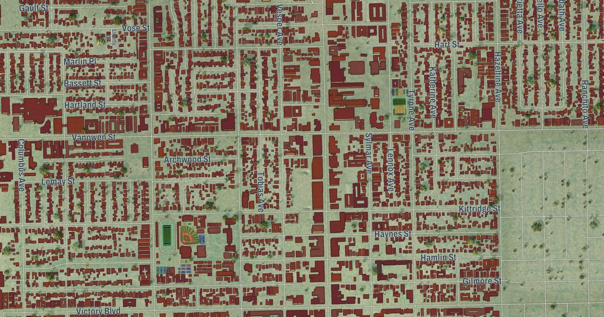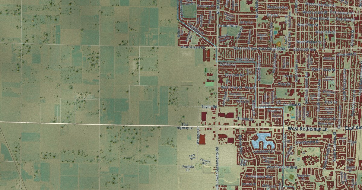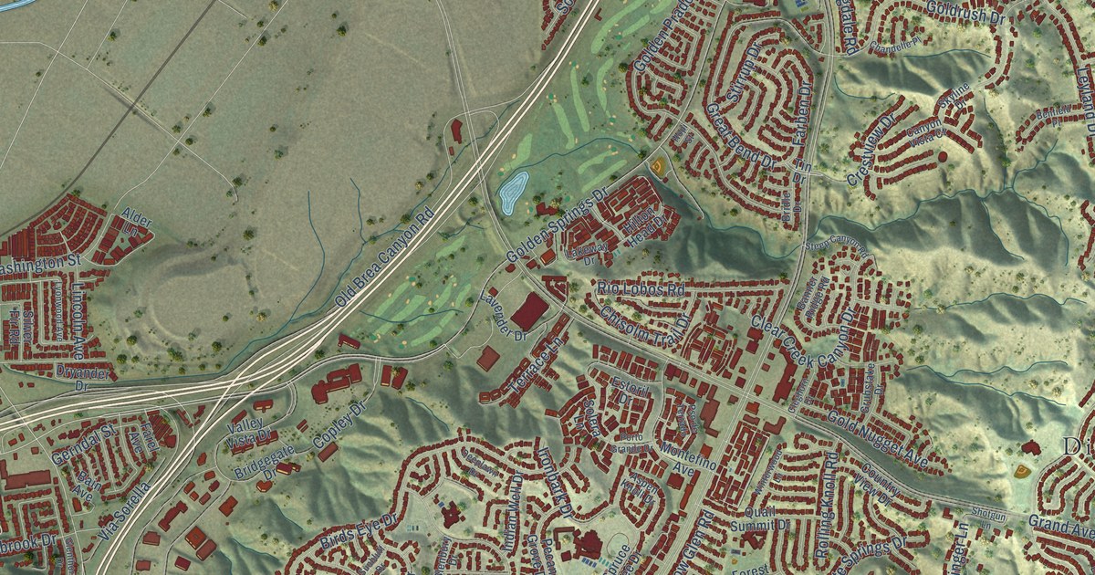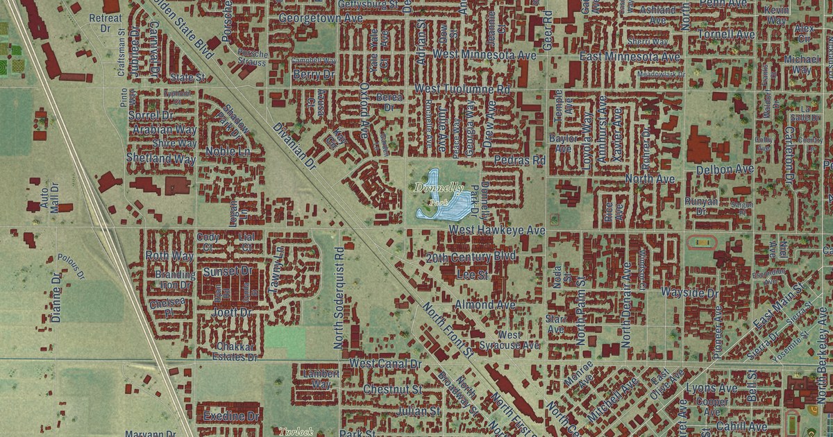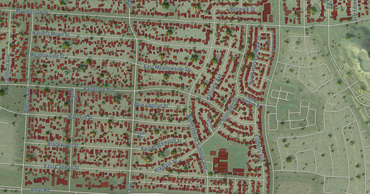
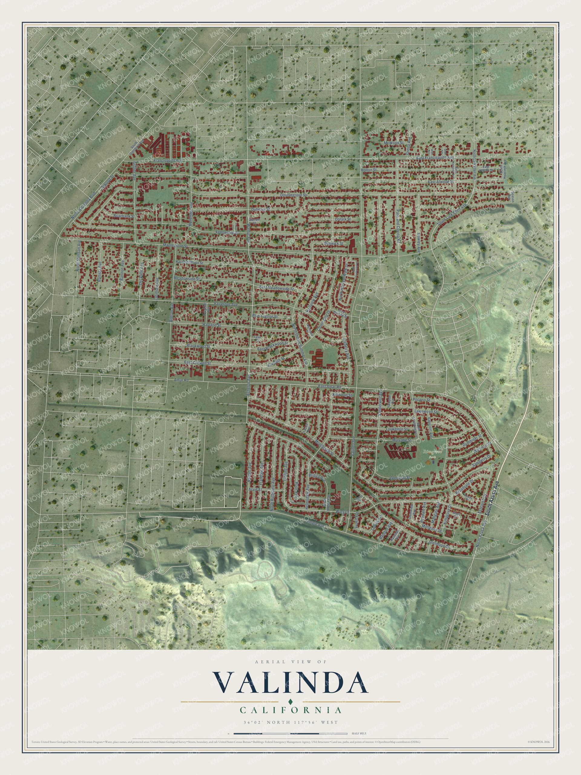
This beautifully detailed map of Valinda, California was created in 2026 using aerial imagery combined with modern topographical, census, street and landmark data. It's a modern aerial view of Valinda in Los Angeles County, California, that combines modern data with a vintage aesthetic. The roads feature printed names, and if you look closely you can find your exact house accurately shown in its correct location.
Explore an aerial view of Valinda, California
On this map you'll find Rimgrove Park, South Azusa Avenue, Amar Road, South Lark Ellen Avenue, North Azusa Avenue, East Alwood Street, Wing Lane, Echelon Avenue, East Amar Road, Pass and Covina Road, Mulvane Street, Ashcomb Drive, and more. Each red shape is a building, so zoom in on the preview and look for yours.
Valinda is a community in Los Angeles County. The Census Bureau counted 22,437 people here in 2020. The map prints the town name in its title panel, with the coordinates below it.
Take a closer look at the Valinda map
Names on this map
These names are printed on this map.
Places: Rimgrove Park.
Streets and roads: South Azusa Avenue, Amar Road, South Lark Ellen Avenue, North Azusa Avenue, East Alwood Street, Wing Lane, Echelon Avenue, East Amar Road, Pass and Covina Road, Mulvane Street, Ashcomb Drive, Walnut Avenue.
More street names, A to Z
Abell Court, Aileron Avenue, Algonquin Drive, Alwood Street, Arvid Street, Ballista Avenue, Bandon Avenue, Bannon Avenue, Baskin Avenue, Benwick Street, Blackwood Street, Blue Lagoon Street, Briarbank Street, Brigita Avenue, Broadvale Drive, Cadrow Avenue, Cloverglen Drive, Cobre Court, Dalark Street, Damrel Drive, Dawley Avenue, Del Valle Avenue, Doublegrove Street, Dubesor Street, Dunsview Avenue, East Blackwood Street, East Burtree Street, East Cadwell Street, East Francisquito Avenue, East Holton Street, East Meadowside Street, Elsberry Avenue, Fairgrove Avenue, Fellowship Street, Francisquito Avenue, Frandale Avenue, Galecrest Avenue, Garrett Court, Glengray Street, Glenhope Drive, Graybar Avenue, Gretta Avenue, Greycliff Avenue, Griffith Avenue, Gumbiner Street, Hartview Avenue, Harvest Moon Street, Hayland Street, Helmsdale Avenue, Holton Street, Kelwood Street, Klamath Street, Lacon Avenue, Larimore Avenue, Lawnwood Street, Lear Court, Lidford Avenue, Loukelton Street, Mangate Avenue, Maplegrove Street, McWood Street, Meadowside Street, Millstone Drive, Montbrook Street, Mullender Avenue, North Applewood Lane, North Avington Avenue, North Brigita Avenue, North Hacienda Boulevard, North Harvest Walk Drive, North Indian Summer Avenue, North Lark Ellen Avenue, North Ruthcrest Avenue, North Stimson Avenue, Pocono Street, Prior Avenue, Raminda Avenue, Ranlett Avenue, Rimgrove Drive, Roxdale Avenue, Roxley Drive, Samgerry Drive, Season Avenue, Shale Avenue, South Glendora Avenue, South Grandview Lane, South Hyacinth Avenue, Temple Avenue, Valinda Avenue, Vanderwell Avenue, Witzman Drive, Wren Avenue.
Created by KNOWOL in 2026. The buildings are small red shapes, the roads carry their printed names, and shaded relief shows the shape of the land. The title panel reads "AERIAL VIEW OF VALINDA CALIFORNIA" with 34°02' NORTH 117°56' WEST.
It looks right in a kitchen, an office or a den, and it's a gift for anyone who grew up in Valinda or moved away. Open the preview and find your street. See sizes and frames for the Valinda map.