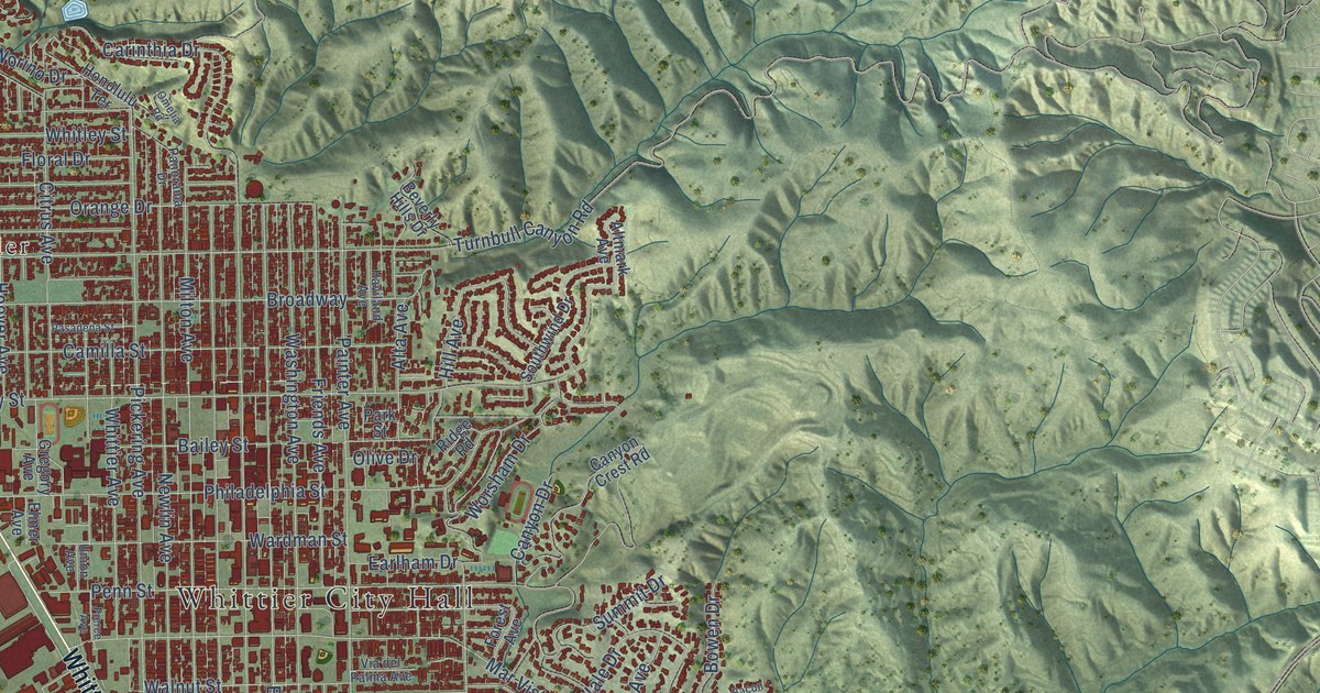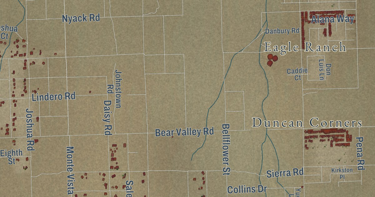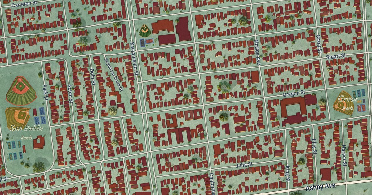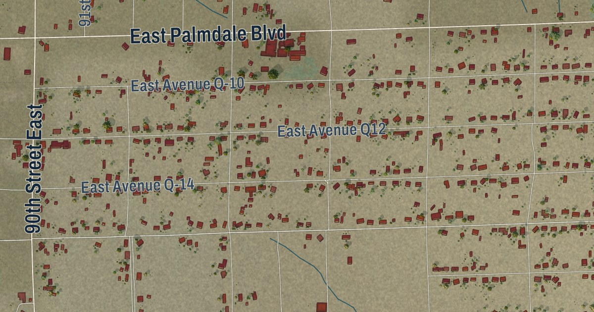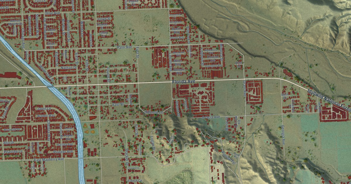
This beautifully detailed map of Valle Vista, California was created in 2026 using aerial imagery combined with modern topographical, census, street and landmark data. It’s a one-of-a-kind view of Valle Vista that combines accurate data with a vintage aesthetic. The map shows every building in its true location, many of the roads carry their names, and the shaded topographic relief shows the shape of the land.
Explore an aerial view of Valle Vista, California
On the map you’ll find Florida Avenue, Idyllwild National Forest Highway, East Florida Avenue, Grant Avenue, Palm Avenue, Hillcrest Lane, East Mayberry Avenue, Ramona Expressway, East Stetson Avenue, Masonic Drive, Wagner Way, Stetson Avenue, and more. If you look closely you can even find your house accurately drawn in its correct location. Zoom in on the preview to look for yours.
Did you know this about Valle Vista, California?
From the Riverside County History: "Valle Vista, situated at the head of the San Jacinto valley, is one of the prettiest villages in all California. The tree-bordered streets of the place form many delightfully shady drives that give Valle Vista a distinctiveness peculiar to itself."
Take a closer look at the Valle Vista map
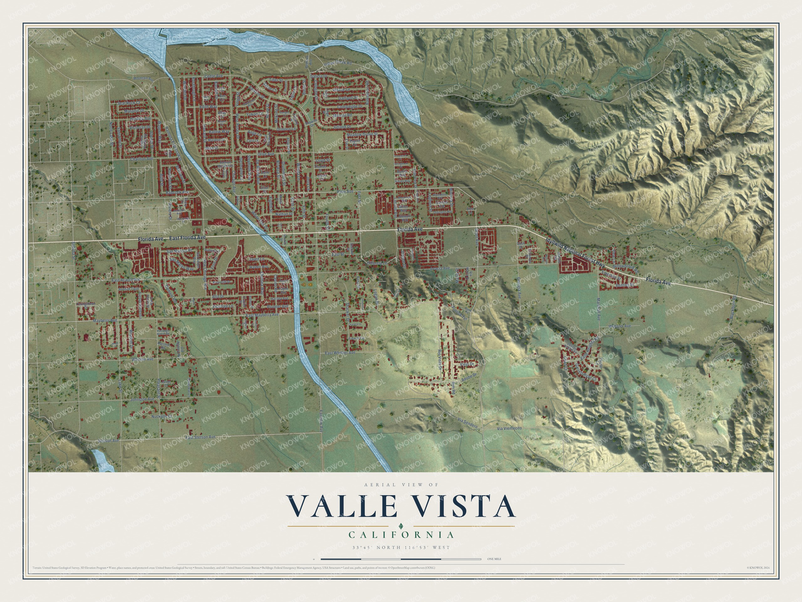
Street names on the Valle Vista, California map
These names are printed on the map of Valle Vista, California.
Streets and roads: Florida Avenue, Idyllwild National Forest Highway, East Florida Avenue, Grant Avenue, Palm Avenue, Hillcrest Lane, East Mayberry Avenue, Ramona Expressway, East Stetson Avenue, Masonic Drive, Wagner Way, Stetson Avenue.
More street names, A to Z
Acacia Avenue, Adobe Drive, Allspice Street, Alsace Lane, Alto Drive, Amazon Street, Amen Street, Andrade Avenue, Ange Lane, Araucana Street, Ardmore Drive, Auld Street, Avenue Chagres, Avenue Hortensia, Avenue Miraflores, Avenue Tigre, Babcock Avenue, Balestrieri Road, Ballew Way, Barito Street, Barnett Drive, Barnhill Road, Bellview Street, Bentley Street, Berkley Avenue, Bethlam Avenue, Blackburn Road, Bos Circle, Briarcliff Drive, Brite View Drive, Browca Street, Buntin Way, Calais Place, Cash Drive, Casino Road, Cedar Avenue, Century Court, Chad Court, Charlotte Drive, Charlton Avenue, Chelsea Way, Chicago Avenue, Claro Road, Cologne Drive, Compiegne Drive, Cornish Avenue, Corte Tecolote, Cyril Lane, Danube Court, Denizen Heights Road, De Waide Avenue, Drummond Street, Dumont Road, Earle Court, East Acacia Avenue, East Posey Drive, East Street, East Whittier Avenue, Edith Way, Eighth Street, Elan Drive, El Campo Place, Elliot Court, Elna Lane, Emerson Street, Erma Court, Espirit Circle, Faircrest Circle, Fairview Avenue, Fifth Street, First Street, Fore Drive, Fourth Street, Frazier Street, French Circle, Galicia Drive, Gallipoli Place, Ganges Lane, Garrett Ryan Court, Georgia Avenue, Germaine Lane, Grovewood Circle, Hacienda Street, Hartley Avenue, Harvey Way, Howard Drive, Indian Creek Road, Jared Lane, Jason Court, Jerry Lane, Joanne Drive, Johnston Avenue, Jutland Drive, Kansas Avenue, Laguna Honda Road, Lake Street, Lately Circle, Legacy Court, Leghorn Street, Liege Drive, Lincoln Avenue, Lloyd Street, Logan Drive, Low Circle, Lynn Circle, Marlene Street, Marlo Court, Marshall Avenue, Marta Court, Mayberry Avenue, Meadow Grove Street, Mekong Street, Merced Road, Miller Way, Minorca Street, Mountain Avenue, Nathan Drive, New Chicago Avenue, Nita Circle, Nola Street, North Lake Street, Nuckolls Court, Old Agency Road, Olive Avenue, Olsenview Court, Orinoco Lane, Orpington Avenue, Partridge Ranch Road, Payne Avenue, Peace Circle, Peartree Lane, Penang Drive, Pioneer Avenue, Pleasant Street, Putters Lane, Rassle Drive, Redwing Circle, Regent Court, Rhine Street, Riley Circle, Rim Road, Rio Vista Drive, Riviera Drive, Rockford Street, Roland Hills Drive, Rosebrugh Lane, San Felipe Way, San Marcos Place, San Mateo Way, Sansome Street, Savannah Way, Schultz Road, Seal Rock Court, Second Street, Seine Court, Seventh Street, Sharp Drive, Silverleaf Lane, Sixth Street, Soboba Street, Sopwith Drive, Springwood Circle, Steiner Drive, Stephvon Way, Stewart Way, Sunrise Terrace, Thacker Drive, Thistle Lane, Thomas Street, Tiber Street, Tigris Lane, Valle Heights Road, Via Maria Drive, Via Sendero, Via Vientecito, Victorian Drive, Viejo Drive, View Lane, Volga Street, Walden Way, Wanda Lane, Webster Avenue, Wendell Drive, West Posey Drive, White Oak Drive, Whittier Avenue, Willowbrook Road, Wisdom Drive, Woodrow Way, Wyandotte Avenue, Youngstown Drive, Yukon Court.
See the Valle Vista, California map on a wall
The Valle Vista map as an 18 x 24 inch print in a black frame.

This beautifully detailed map of Valle Vista makes an attractive addition to your office, library, or den, and it can even be used to teach children the geography and history of the area. It also makes a great gift for anyone who grew up in Valle Vista or moved away. When you’re done exploring, click here to get your copy of the Valle Vista map.