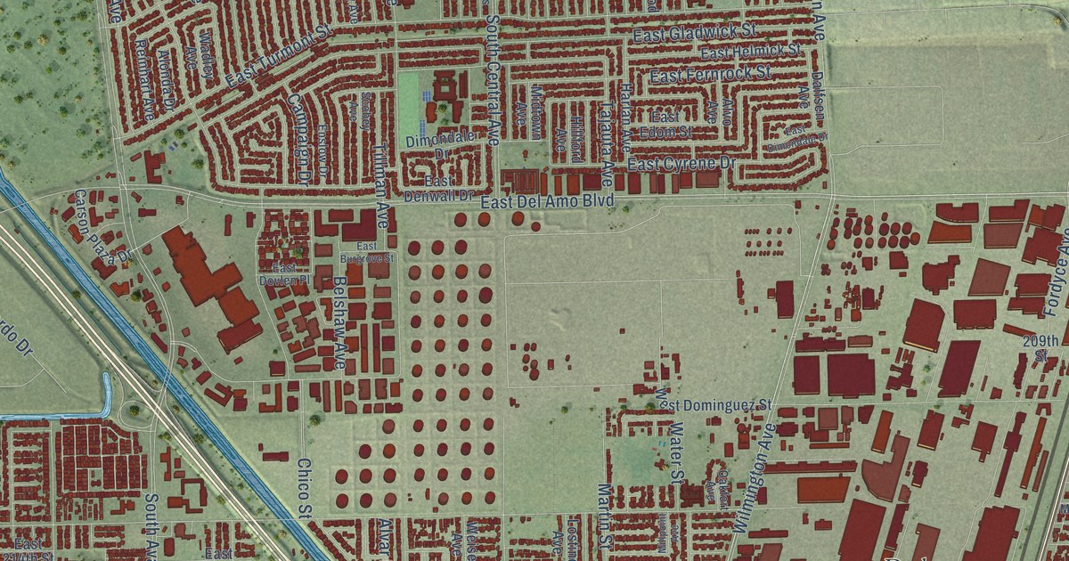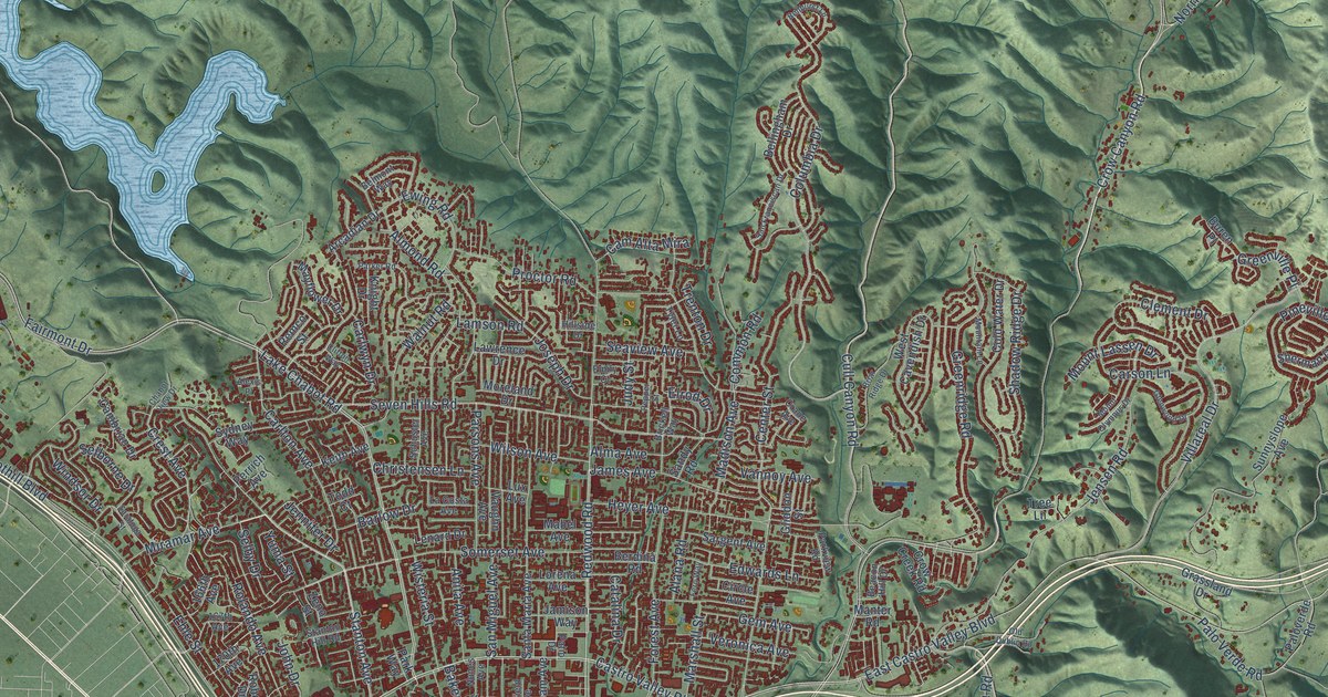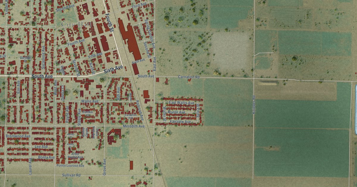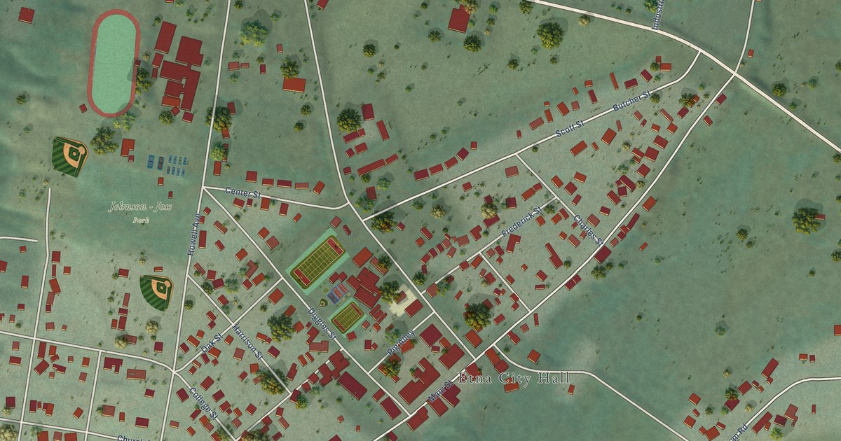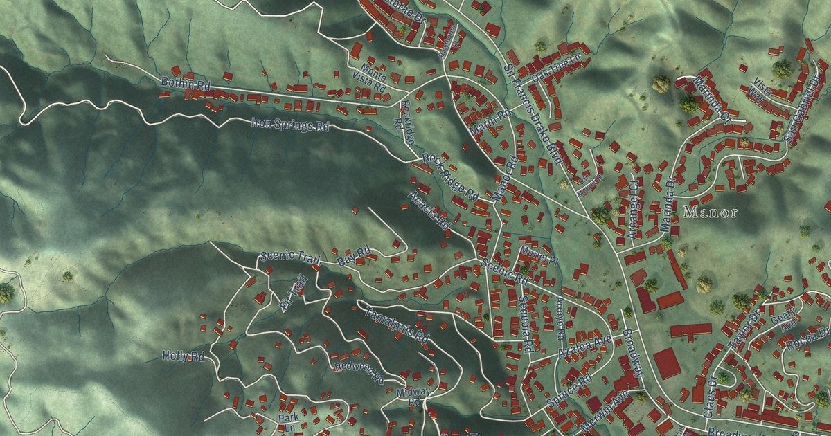
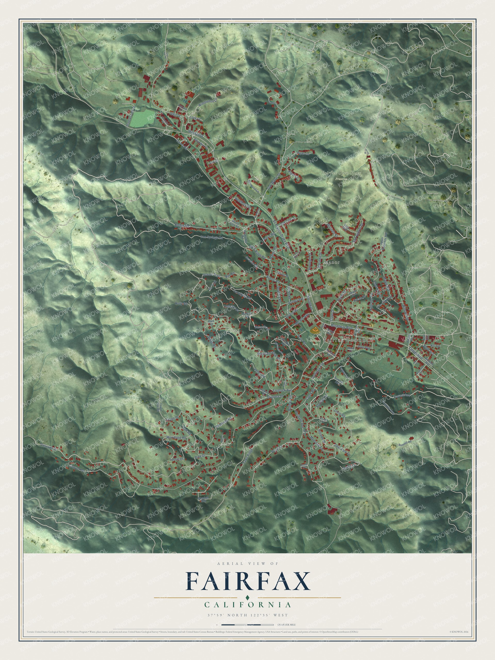
This beautifully detailed map of Fairfax, California was created in 2026 using aerial imagery combined with modern topographical, census, street and landmark data. It's a modern aerial view of Fairfax in Marin County, California, that combines modern data with a vintage aesthetic. The roads feature printed names, and if you look closely you can find your exact house accurately shown in its correct location.
Explore an aerial view of Fairfax, California
On this map you'll find Fairfax Townhall, Manor, Fairfax Open Space Preserve, Bolinas Park, Berry Trail, Marinda Court, Forrest Avenue, Cascade Drive, Forrest Terrace, Dominga Avenue, Sir Francis Drake Boulevard, Scenic Road, and more. Each red shape is a building, so zoom in on the preview and look for yours.
Fairfax has a story worth telling. The record at ohp.parks.ca.gov puts it this way: "The home of 'Lord' Charles Snowden Fairfax, pioneer and political leader of the 1850s, who served California as an Assemblyman (1853), Speaker of Assembly (1854), and Clerk of the State Supreme Court (1856)."
Fairfax is a town in Marin County. The Census Bureau counted 7,605 people here in 2020.
Take a closer look at the Fairfax map
Names on this map
These names are printed on this map.
Places: Fairfax Townhall, Manor, Fairfax Open Space Preserve and Bolinas Park.
Streets and roads: Berry Trail, Marinda Court, Forrest Avenue, Cascade Drive, Forrest Terrace, Dominga Avenue, Sir Francis Drake Boulevard, Scenic Road, Bolinas Road, Tamalpais Road, Olema Road, Frustuck Avenue.
More street names, A to Z
Acacia Road, Alder Court, Alhambra Circle, Arcangel Court, Arrowood Lane, Arroyo Road, Azalea Avenue, Bank Street, Barker Avenue, Bay Road, Baywood Court, Belle Avenue, Belmont Avenue, Bothin Road, Broadway, Broadway Boulevard, Canyon Road, Center Boulevard, Chester Avenue, Claus Drive, Coree Lane, Creek Road, Crescent Lane, Crest Road, Cypress Drive, Deer Park Drive, Fawn Ridge, Fir Trail, Francis Avenue, Geary Avenue, Glen Drive, Glen Fire Road, Hawthorne Court, Herrera Drive, Hickory Road, Hill Avenue, Hillside Drive, Holly Road, Inyo Avenue, Iron Springs Road, Ivy Lane, June Court, Kent Avenue, Laurel Drive, Live Oak Avenue, Love Court, Madrone Court, Madrone Road, Main Court, Manor Road, Manzanita Road, Maple Avenue, Marinda Drive, Marin Road, Meadow Way, Meernaa Avenue, Merwin Avenue, Midway Road, Mitchell Drive, Mono Avenue, Monte Vista Road, Mountain View Road, Muriel Place, Oak Manor Drive, Oak Road, Oak Tree Lane, Pacheco Avenue, Park Lane, Park Road, Pastori Avenue, Pine Drive, Piper Court, Piper Lane, Porteous Avenue, Power Lane, Redwood Road, Ridge Road, Ridgeway Avenue, Rocca Drive, Rock Ridge Road, Rockridge Road, San Gabriel Drive, San Miguel Court, Scenic Trail, Sequoia Road, Shadow Creek Court, Shemran Court, Sherman Avenue, Snowden Lane, Spring Lane, Spruce Road, Summer Avenue, Summit Road, Taylor Drive, Toyon Drive, Toyon Fire Road, Upper Ridgeway Avenue, Valley Road, Vista Way, Westbrae Drive, Wilder Drive, Willow Avenue, Wimbledon Lane, Woodland Road, Wood Lane, Wreden Avenue.
Created by KNOWOL in 2026. The buildings are small red shapes, the roads carry their printed names, and shaded relief shows the shape of the land. The title panel reads "AERIAL VIEW OF FAIRFAX CALIFORNIA" with 37°59' NORTH 122°35' WEST.
It looks right in a kitchen, an office or a den, and it's a gift for anyone who grew up in Fairfax or moved away. Open the preview and find your street. See sizes and frames for the Fairfax map.