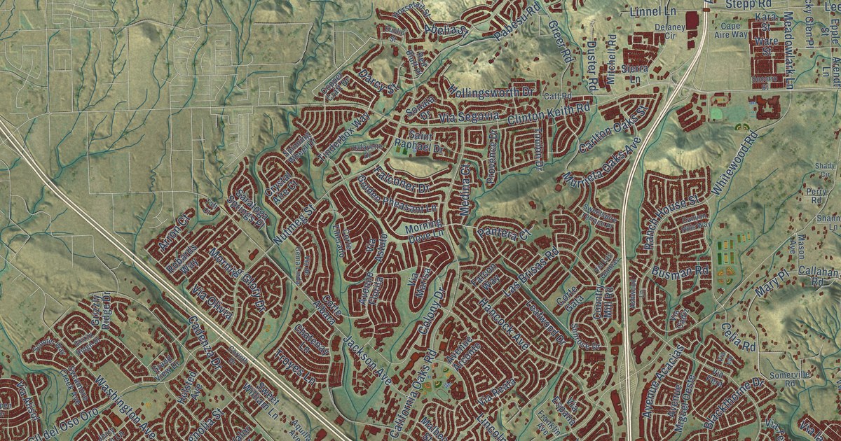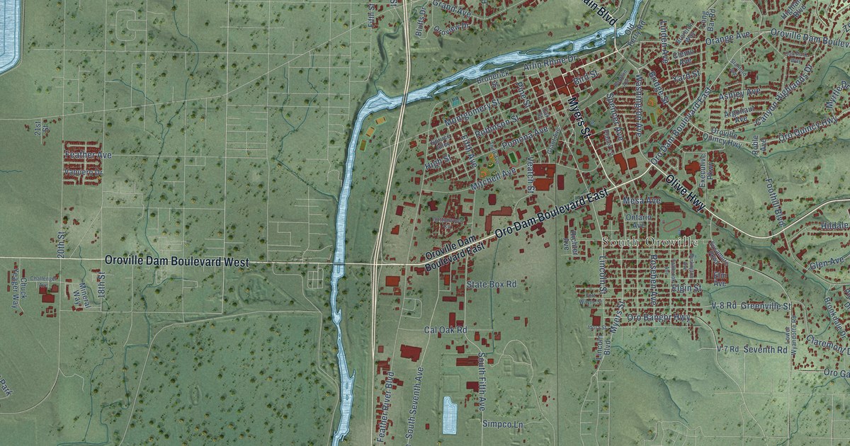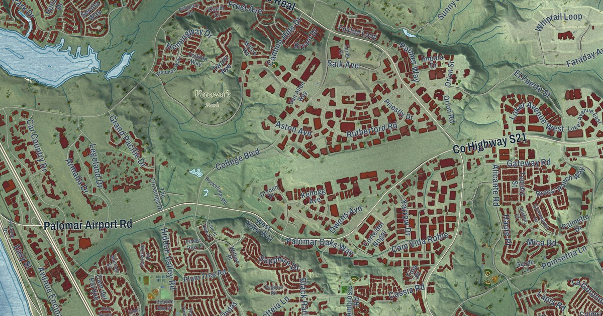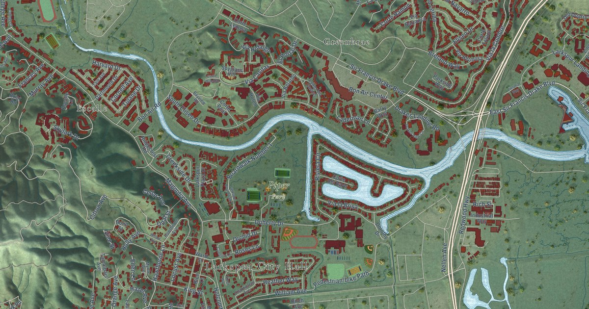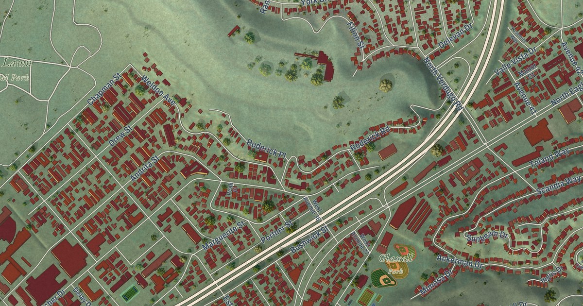
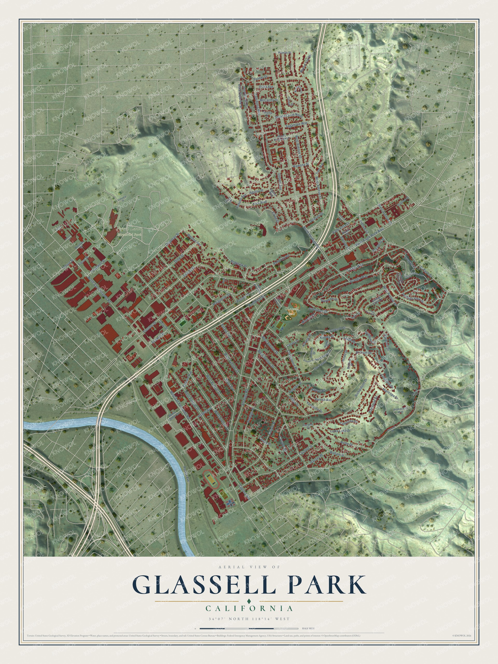
This beautifully detailed map of Glassell Park, California was created in 2026 using aerial imagery combined with modern topographical, census, street and landmark data. It's a modern aerial view of Glassell Park in Los Angeles County, California, that combines modern data with a vintage aesthetic. The roads feature printed names, and if you look closely you can find your exact house accurately shown in its correct location.
Explore an aerial view of Glassell Park, California
On this map you'll find Forest Lawn Memorial Park, Glassell Park, Sundown Drive, Parrish Avenue, North San Fernando Road, North Eagle Rock Boulevard, Marguerite Street, Verdugo Road, Cazador Street, York Boulevard, Fletcher Drive, West Avenue 42, and more. Each red shape is a building, so zoom in on the preview and look for yours.
Every town has a first chapter, and Glassell Park is no exception. The Historical Marker Database puts it this way: "One of many distinct districts of Glassell Park, Verdugo Village is a two block commercial corridor in the historic Sagamore Park tract (est. 1920s) situated along the early transportation route that linked the Rancho San Raphael (1784) and the fledgling Pueblo of Los Angeles."
Glassell Park is a place in Los Angeles County.
Take a closer look at the Glassell Park map
Names on this map
These names are printed on this map.
Places: Forest Lawn Memorial Park and Glassell Park.
Streets and roads: Sundown Drive, Parrish Avenue, North San Fernando Road, North Eagle Rock Boulevard, Marguerite Street, Verdugo Road, Cazador Street, York Boulevard, Fletcher Drive, West Avenue 42, West Avenue 33, West Avenue 41.
More street names, A to Z
Ackerman Drive, Aguilar Street, Aguilar Way, Andrita Street, Arthur Street, Avenue 41, Avenue 42, Avenue 43, Barryknoll Drive, Brilliant Drive, Brilliant Place, Bushwick Street, Caledonia Way, Camorilla Drive, Canada Street, Carlyle Place, Carlyle Street, Carmel Street, Cathedral Drive, Cazador Court, Cazador Drive, Chapman Street, Cleland Avenue, College Crest Drive, College Crest Walk, Crestmoore Place, Curlew Court, Cypress Avenue, Delay Drive, Delevan Drive, Division Street, Dolores Street, Drew Street, Edward Avenue, El Paseo Drive, El Paso Drive, El Rosa Drive, Estara Avenue, Fierro Street, Filion Street, Gassen Place, Gladden Place, Hallett Avenue, Haverhill Drive, Hines Drive, Holyoke Drive, Inglis Drive, Kenny Drive, Kinney Place, Kinney Street, Lavell Drive, Loma Lada Drive, Loveland Drive, Manor Court, Maricopa Drive, McCarthy Drive, Media Center Drive, Mendocino Court, Mimosa Drive, Moss Avenue, North Paseo Drive, North Scandia Way, North Verdugo Road, Orilla Avenue, Palmer Drive, Panamint Drive, Panamint Street, Peak Place, Perlita Avenue, Plumas Street, Portner Street, Primavera Way, Ranons Avenue, Raysel Road, Richardson Drive, Roderick Place, Roderick Road, Rome Drive, Rosslyn Street, Roswell Street, Round Top Drive, Sagamore Way, Scandia Way, Shasta Circle North, Shasta Circle South, Somers Avenue, Sunbeam Drive, Sunnycrest Drive, Terzilla Place, The Paseo, Toland Way, Treadwell Street, Trent Way, Tyburn Street, Valle Vista Drive, Verdugo Place, Verdugo View Drive, Verdugo Vista Terrace, Vista Superba Street, Wawona Street, Weldon Avenue, West Avenue 30, West Avenue 31, West Avenue 32, West Avenue 34, West Avenue 35, West Avenue 36, West Avenue 37, West Avenue 40, West Avenue 43, West San Fernando Road, Wollam Street, York Place, Yorkshire Drive, Yosemite Way.
Created by KNOWOL in 2026. The buildings are small red shapes, the roads carry their printed names, and shaded relief shows the shape of the land. The title panel reads "AERIAL VIEW OF GLASSELL PARK CALIFORNIA" with 34°07' NORTH 118°14' WEST.
Hang it in the hallway, the office or the cabin, or give it to someone who left Glassell Park and still calls it home. Open the preview and look for a street you know. See sizes and frames for the Glassell Park map.