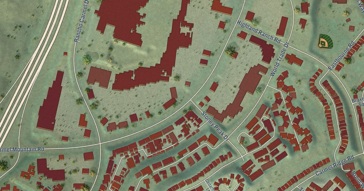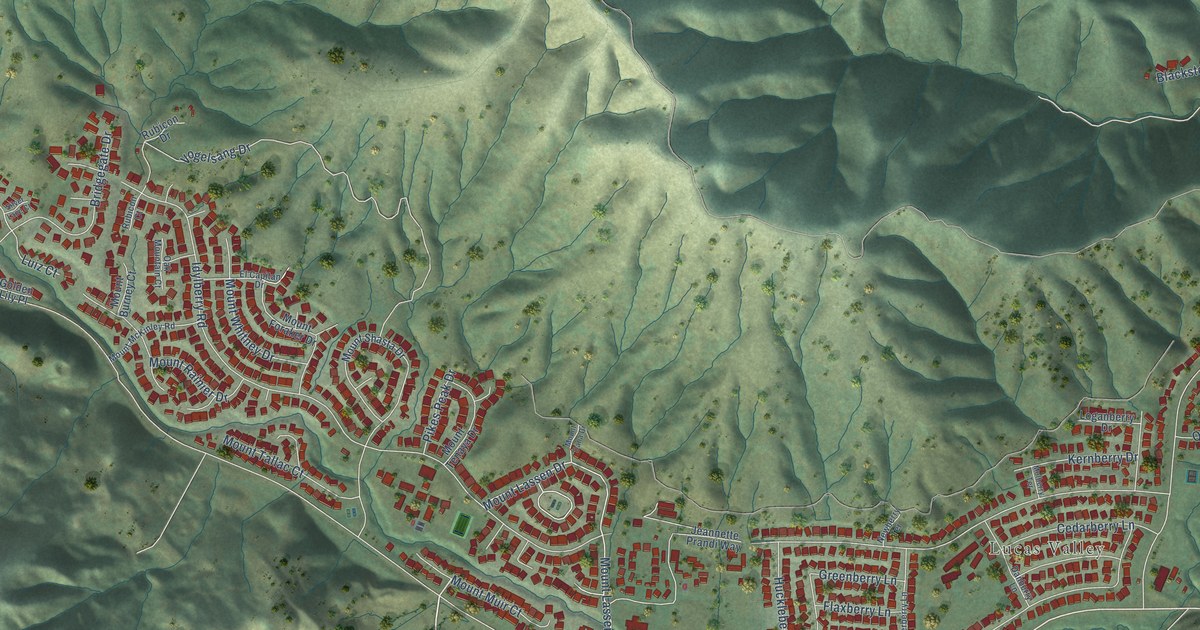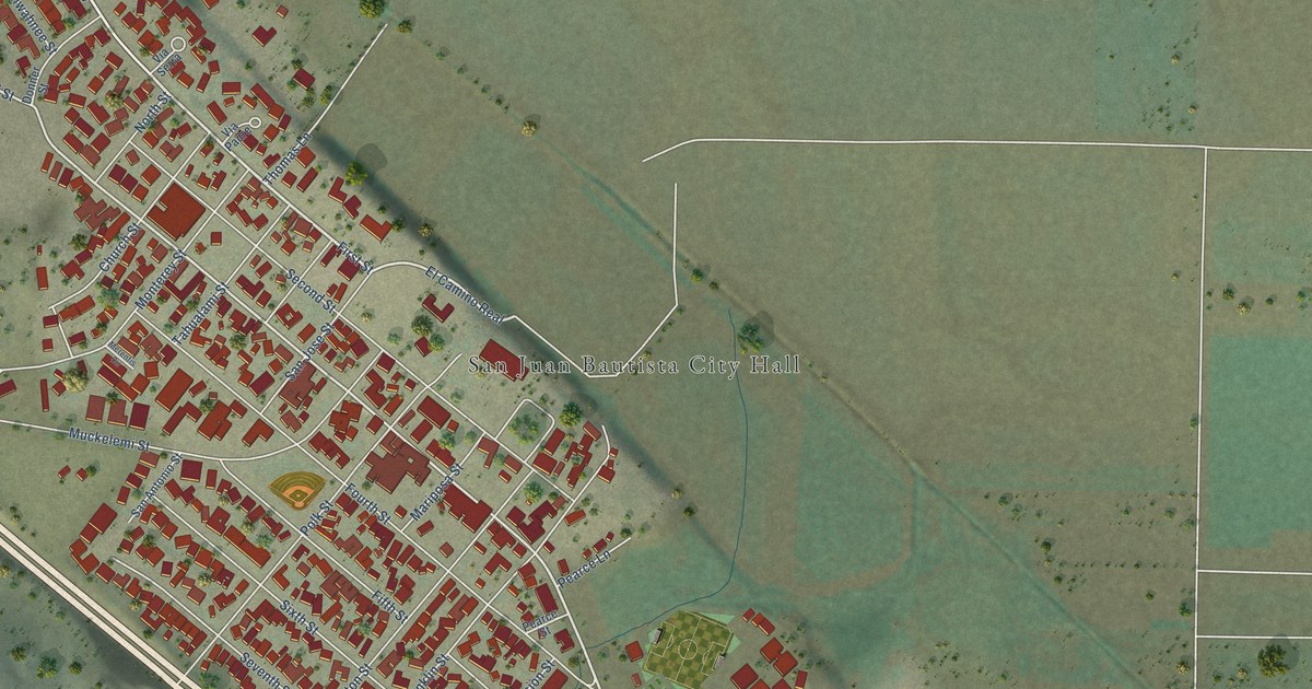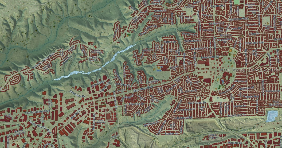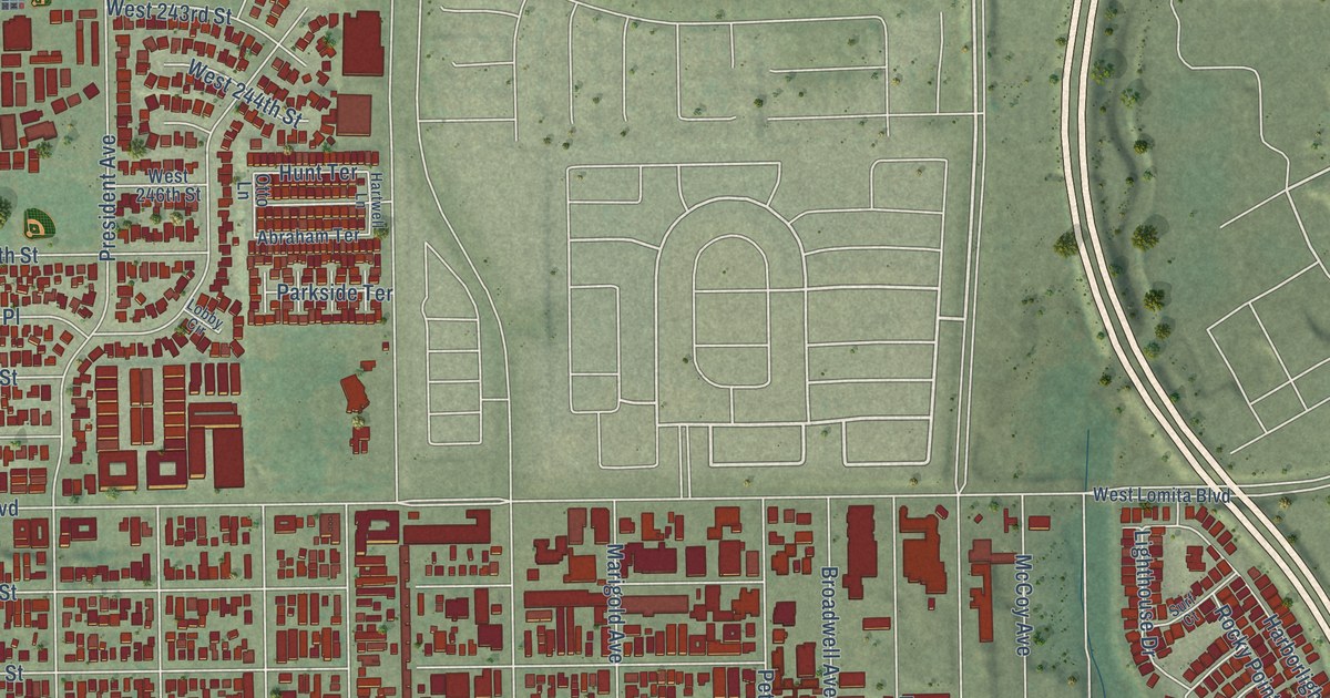
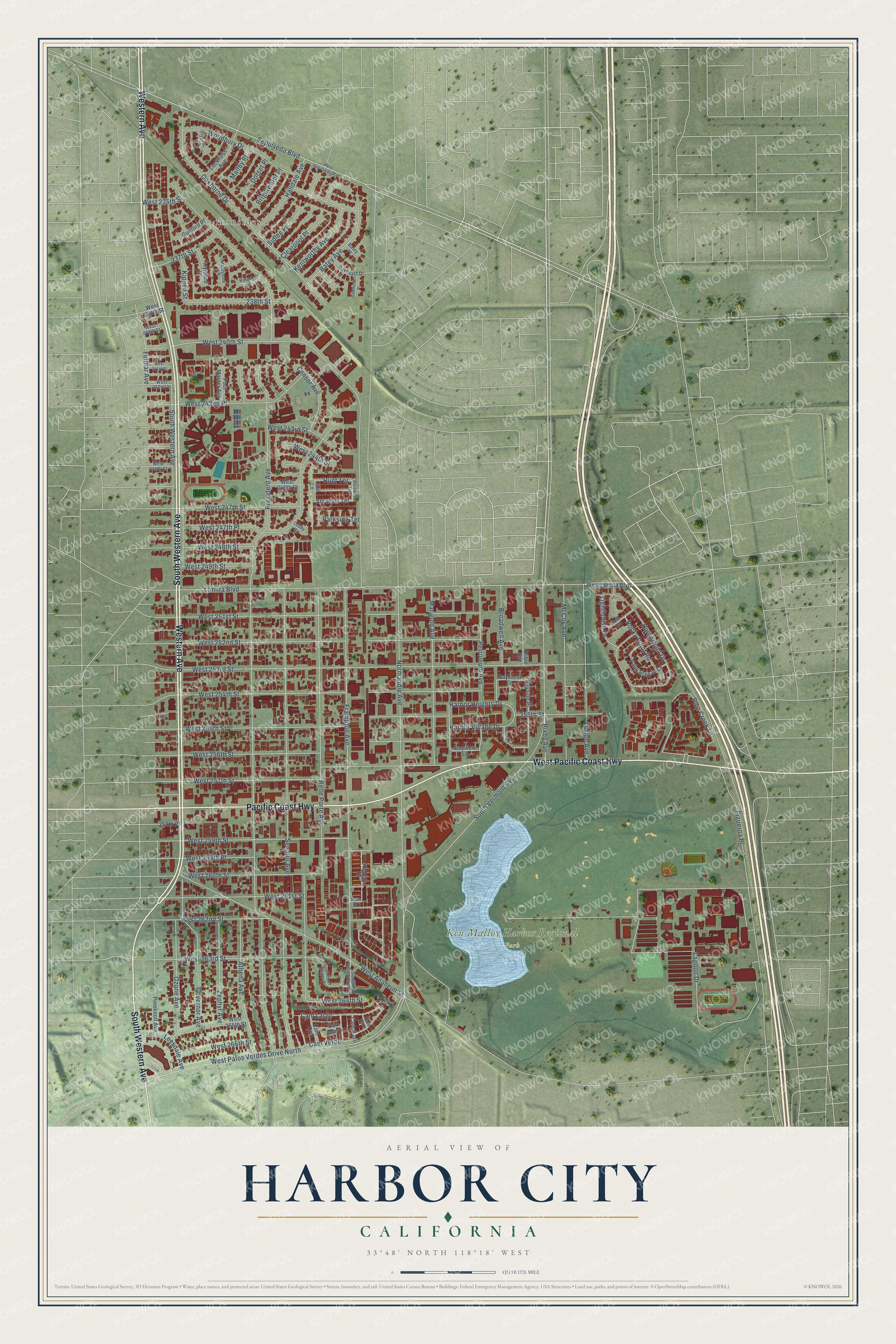
This beautifully detailed map of Harbor City, California was created in 2026 using aerial imagery combined with modern topographical, census, street and landmark data. It's a modern aerial view of Harbor City in Los Angeles County, California, that combines modern data with a vintage aesthetic. The roads feature printed names, and if you look closely you can find your exact house accurately shown in its correct location.
Explore an aerial view of Harbor City, California
On this map you'll find Ironsides, Ken Malloy Harbor Regional Park, South Western Avenue, Western Avenue, West Pacific Coast Highway, Pacific Coast Highway, Harbor Heights Drive, 255th Street, President Avenue, Senator Avenue, Frampton Avenue, South Vermont Avenue, and more. Each red shape is a building, so zoom in on the preview and look for yours.
Harbor City is a place in Los Angeles County. The map prints the town name in its title panel, with the coordinates below it.
Take a closer look at the Harbor City map
Names on this map
These names are printed on this map.
Places: Ironsides and Ken Malloy Harbor Regional Park.
Streets and roads: South Western Avenue, Western Avenue, West Pacific Coast Highway, Pacific Coast Highway, West Palos Verdes Drive North, Harbor Heights Drive, 255th Street, President Avenue, Senator Avenue, Frampton Avenue, South Vermont Avenue, West 253rd Street.
More street names, A to Z
237th Street, 238th Street, 258th Place, Abraham Terrace, Athena Avenue, Batey Avenue, Batey Place, Baycrest Court, Baycrest Lane, Bayside Place, Bayview Lane, Belle Porte Avenue, Bixby Avenue, Brightwater Place, Broadwell Avenue, Cam Caro, Cam Largo, Cam Mayo, Cam Oro, Cam Raso, Cam Verde, Censor Avenue, Clearpool Place, Doble Avenue, Dodge Avenue, Dorset Place, Figueroa Place, Fulmar Avenue, Governor Avenue, Guilford Place, Halldale Avenue, Harborlight Drive, Harbor Village Drive, Hartwell Lane, Hunt Terrace, Hynford Place, Kentworthy Avenue, Kippen Street, Lagoon Drive, Leesdale Avenue, Lighthouse Drive, Lobby Circle, Lockness Avenue, Lomita Boulevard, Maidstone Place, Maltby Place, Marigold Avenue, McCoy Avenue, Normandie Avenue, Oakheath Drive, Oakheath Place, Oakhorne Drive, Otto Lane, Ozone Avenue, Palm Breeze Lane, Parkside Terrace, Pebble Drive, Petroleum Avenue, Pine Creek Lane, Pineknoll Avenue, Post Master Avenue, Pryor Place, Rocky Point Road, Rutgers Place, Sepulveda Boulevard, Sidlee Place, Slate Drive, South Frampton Avenue, South Pines Estates Drive, Surf Court, West 235th Street, West 238th Street, West 239th Street, West 240th Street, West 241st Street, West 242nd Place, West 242nd Street, West 243rd Street, West 244th Street, West 245th Street, West 246th Street, West 247th Place, West 247th Street, West 248th Street, West 249th Street, West 251st Street, West 252nd Street, West 254th Street, West 255th Street, West 256th Street, West 257th Street, West 259th Place, West 259th Street, West 260th Street, West 261st Street, West 262nd Street, West 263rd Street, West 264th Street, West 265th Street, West 266th Street, West Anaheim Street, West Lomita Boulevard, West Sepulveda Boulevard, Woodbury Drive, Zephyr Avenue.
Created by KNOWOL in 2026. The buildings are small red shapes, the roads carry their printed names, and shaded relief shows the shape of the land. The title panel reads "AERIAL VIEW OF HARBOR CITY CALIFORNIA" with 33°48' NORTH 118°18' WEST.
It suits a den, a classroom or a front hall, and it makes a gift for anyone with Harbor City roots. Open the preview and find the block you know. See sizes and frames for the Harbor City map.