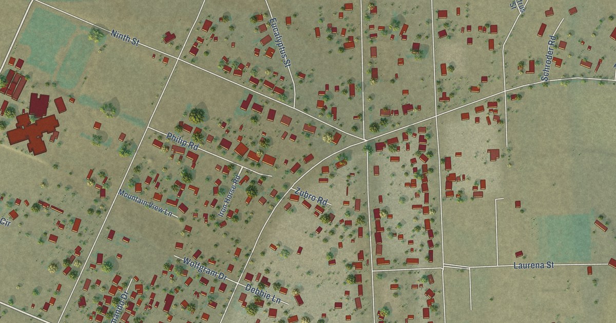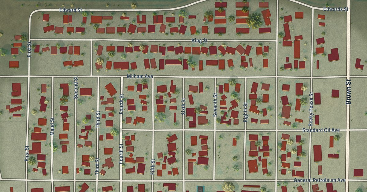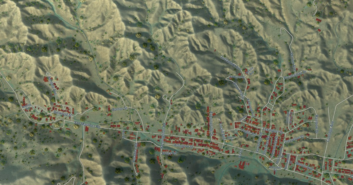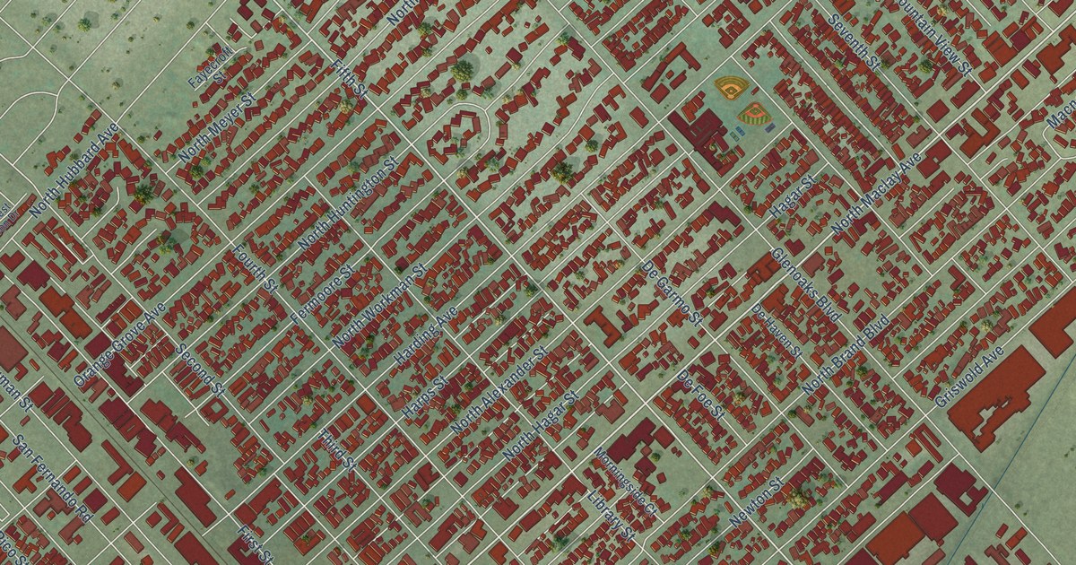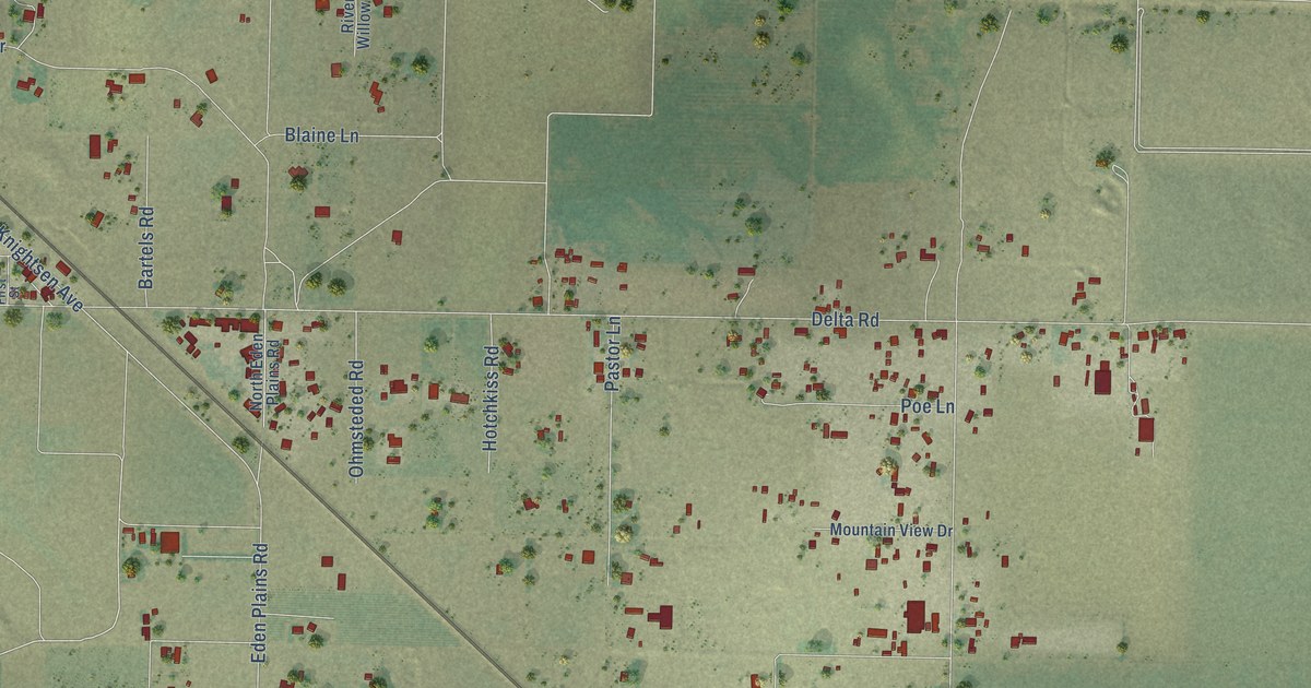
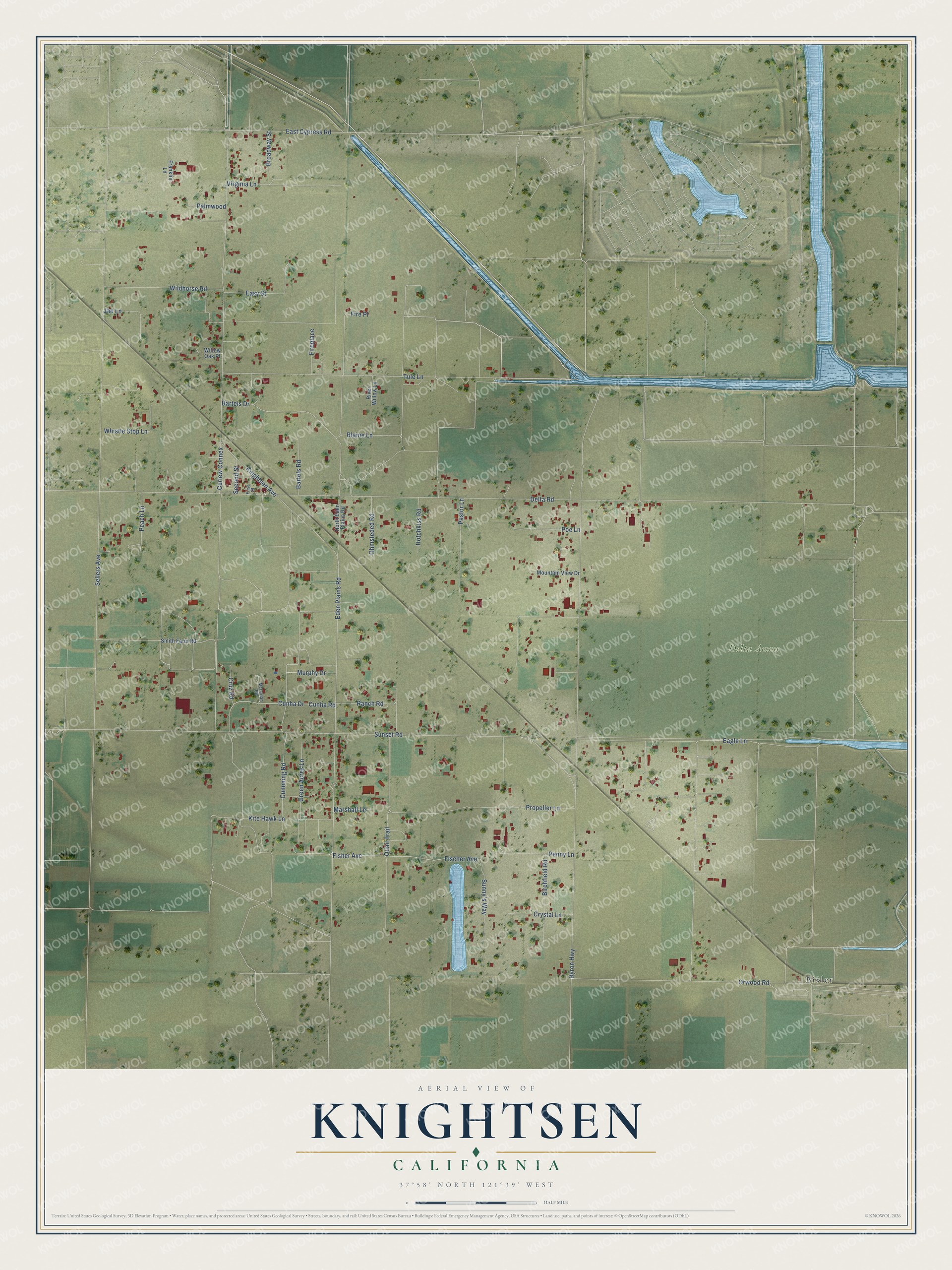
This beautifully detailed map of Knightsen, California was created in 2026 using aerial imagery combined with modern topographical, census, street and landmark data. It's a modern aerial view of Knightsen in Contra Costa County, California, that combines modern data with a vintage aesthetic. The roads feature printed names, and if you look closely you can find your exact house accurately shown in its correct location.
Explore an aerial view of Knightsen, California
On this map you'll find Delta Access, Bixler, Fisher Avenue, Fischer Avenue, Delta Road, Sellers Avenue, Sunset Road, Byron Highway, Knightsen Avenue, Eden Plains Road, Eagle Lane, Tule Lane, and more. Each red shape is a building, so zoom in on the preview and look for yours.
Knightsen is a community in Contra Costa County. The Census Bureau counted 1,596 people here in 2020. Knightsen sits about 3 miles southeast of Oakley, 4 miles northeast of Brentwood and 5 miles south of Bethel Island. The map prints the town name in its title panel, with the coordinates below it.
Take a closer look at the Knightsen map
Names on this map
These names are printed on this map.
Places: Delta Access and Bixler.
Streets and roads: Fisher Avenue, Fischer Avenue, Delta Road, Sellers Avenue, Sunset Road, Byron Highway, Knightsen Avenue, Eden Plains Road, Eagle Lane, Tule Lane, Orwood Road, Quail Trail.
More street names, A to Z
Bartels Drive, Bartels Road, Birchfield Road, Blaine Lane, Broadway Street, Cruz Road, Crystal Lane, Cumming Road, Cunha Drive, Cunha Road, Curlew Connex, East Cypress Road, Easy Street, Fire Place, Fireplace, First Street, Franklin Lane, Green Acres Lane, Hotchkiss Road, Jan Lane, Kite Hawk Lane, Marshall Lane, McFarlan Road, Mountain View Drive, Murphy Drive, North Eden Plains Road, Ohmsteded Road, Palmwood, Pastor Lane, Peach Lane, Penny Lane, Poe Lane, Propeller Lane, Ranch Road, River Willow Lane, Second Street, Smith Farm Road, Sunny's Way, Virginia Lane, Whistle Stop Lane, Wildhorse Road, Willow Oak Place.
See it on a wall
The Knightsen map as a framed print. Swipe for more.


Created by KNOWOL in 2026. The buildings are small red shapes, the roads carry their printed names, and shaded relief shows the shape of the land. The title panel reads "AERIAL VIEW OF KNIGHTSEN, CALIFORNIA" with 37°58' NORTH 121°39' WEST.
It suits a den, a classroom or a front hall, and it makes a gift for anyone with Knightsen roots. Open the preview and find the block you know. See sizes and frames for the Knightsen map.