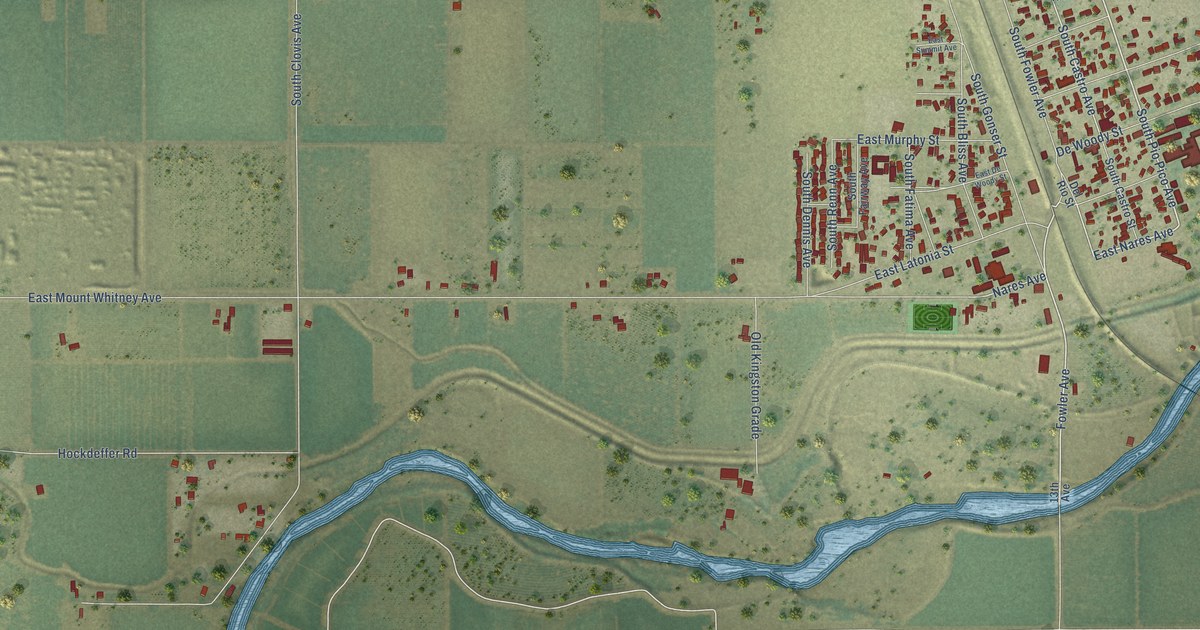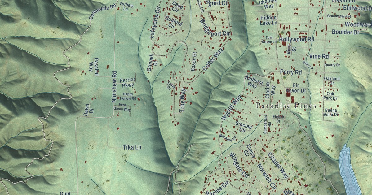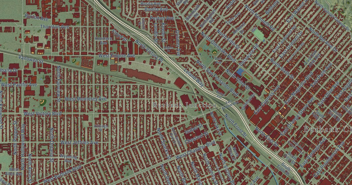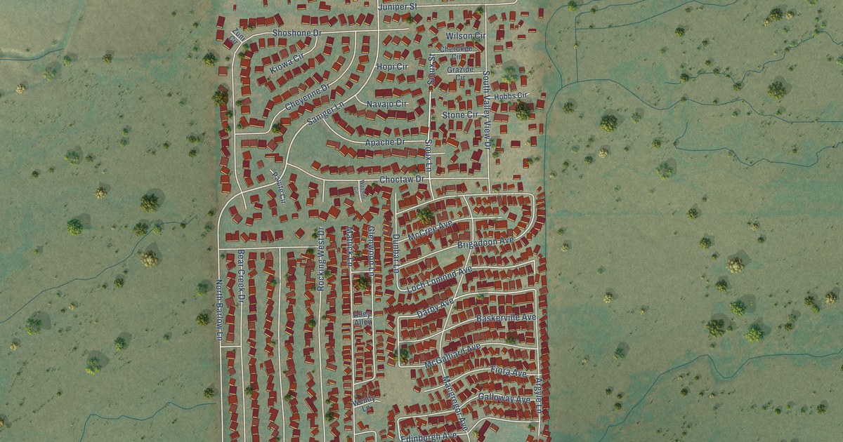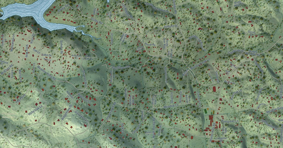
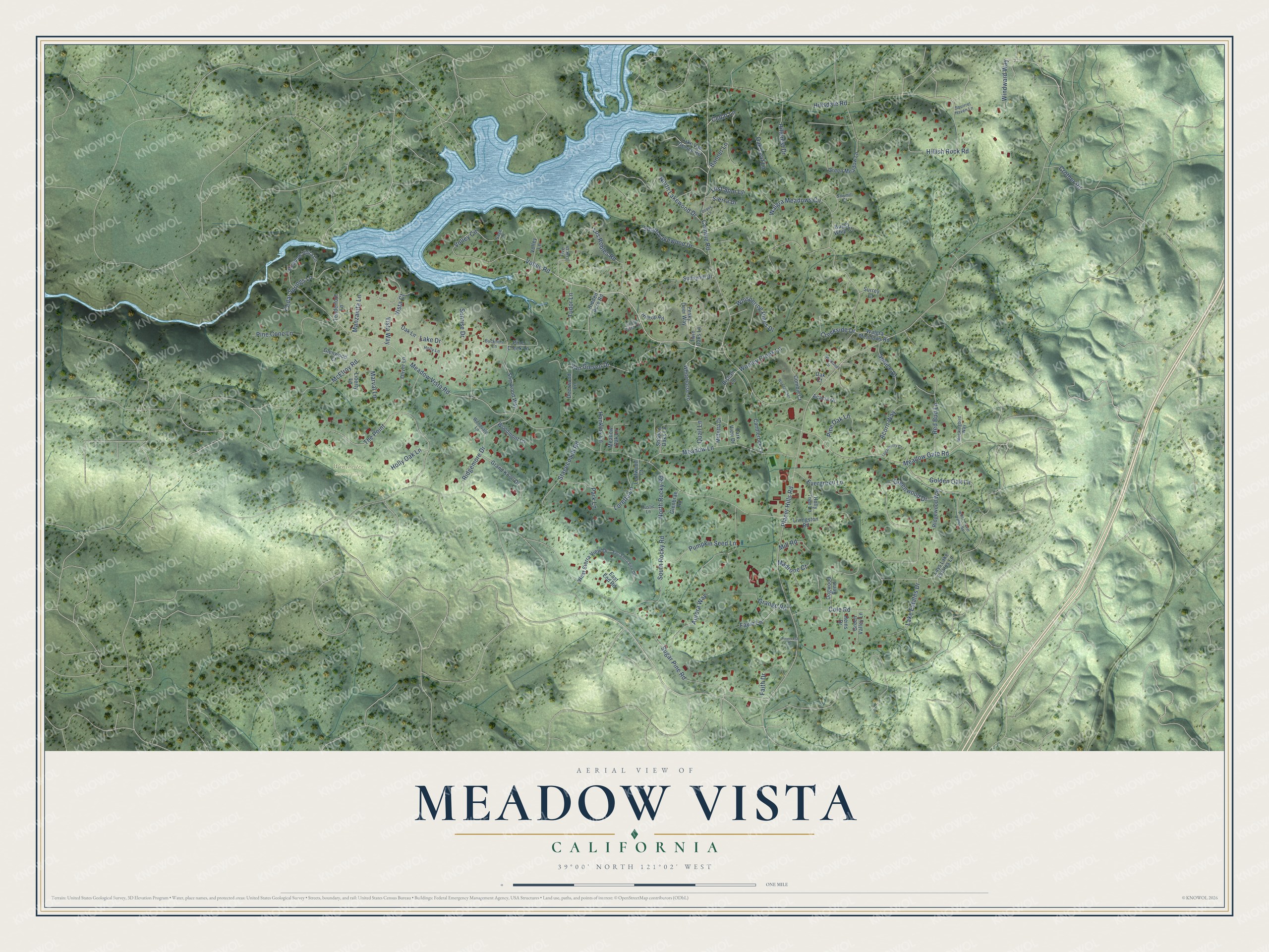
This beautifully detailed map of Meadow Vista, California was created in 2026 using aerial imagery combined with modern topographical, census, street and landmark data. It's a modern aerial view of Meadow Vista in Placer County, California, that combines modern data with a vintage aesthetic. The roads feature printed names, and if you look closely you can find your exact house accurately shown in its correct location.
Explore an aerial view of Meadow Vista, California
On this map you'll find Winchester Country Club, Placer Hills Road, Volley Road, Volley Circle, Meadow Gate Road, McElroy Road, Meadow Vista Road, Combie Road, Hillsdale Road, Sugar Pine Road, Cole Road, Pumpkin Seed Lane, and more. Each red shape is a building, so zoom in on the preview and look for yours.
Here is a piece of Meadow Vista history. Pioneer settlers homesteaded the Meadow Vista area in the 1850s and built an economy on cattle ranching. Citizens started a lending library in 1919 and built a one-room schoolhouse in 1922. As more people moved to the foothills in the 1940s and 1950s, the town took its name from one of the new real estate subdivisions. Combie Lake, first called Lake Van Giesen, was created by the Nevada Irrigation District between 1927 and 1930, and the volunteer fire department was organized in 1948. That's from the Placer County Meadow Vista Community Plan.
Meadow Vista is a community in Placer County. The Census Bureau counted 3,263 people here in 2020. Meadow Vista sits about 3 miles southeast of Lake of the Pines, 5 miles northeast of North Auburn and 8 miles north of Auburn. The map prints the town name in its title panel, with the coordinates below it.
Take a closer look at the Meadow Vista map
Names on this map
These names are printed on this map.
Places: Winchester Country Club.
Streets and roads: Placer Hills Road, Volley Road, Volley Circle, Meadow Gate Road, McElroy Road, Meadow Vista Road, Combie Road, Hillsdale Road, Sugar Pine Road, Cole Road, Pumpkin Seed Lane, Walgra Meadows Circle.
More street names, A to Z
Acacia Drive, Acorn Way, Aurora Way, Banner Lane, Bishali Lane, Buckhorn Lane, Buggy Whip Court, Candlerock Lane, Cedar Lane, Cedar Springs Lane, Combie Court, Creekside Drive, Crother Road, Deerwood Lane, Dogwood Bend, East End Road, East Sierra View Drive, Evergreen Lane, Faith Drive, Fawn Lane, Five Oak Drive, Glenbrae Road, Glenwood Court, Golden Oak Lane, Grand Knoll Drive, Grange Road, Green Meadow Lane, Green Valley Lane, Greenwood Drive, Hankins Lane, Heins Drive, Hidden Acre Road, Hillcrest Drive, Hillish Rock Road, Hilltop Road, Holly Lane, Holly Oak Lane, Holly Tree Lane, Lake Drive, Lake Estates Drive, Lake Van Geisen Road, Lays Lake Estates Lane, Leafwood Court, Liberty Lane, Livingston Road, Loganberry Court, Loretta Lane, Los Robles Road, Lost Spur Lane, Madrone Court, Manzanita Lane, Marval Lane, Meadow Lane, Meadow Oak Lane, Meadow Vista Lane, Mill Road, Miltetta Drive, Mockingbird Way, North Lakewood Drive, North Rocky Road, Oak Court, Oak Lane, Oak Leaf Lane, Oliver Lane, Park Lane, Park View Drive, Pesky Deer Way, Pine Cone Lane, Pine Creek Lane, Pinecrest Drive, Pine Oak Lane, Poppy Lane, Quail Lane, Red Bud Lane, Ridgemore Drive, Ridgewood Way, Rustic Lane, Sage Lane, Sawmill Court, Shadow Oaks Lane, Sherwood Way, Sierra Drive, Sobre Vista Drive, South Lakewood Drive, South Rocky Road, Spruce Drive, Squirrel Haven Lane, Stagecoach Road, Sunnyhill Drive, Sunrise Drive, Surrey Court, Tenderfoot Lane, The Point, Tudor Lane, Twin Oaks Lane, Van Giesen Drive, Vista Court, Vista Way, Volley Lane, Walgra Meadows Road, West Sierra View Drive, Whispering Pines Drive, White Clover Valley Road, Whitehorse Road, Windward Way, Woodland Drive, Woodmont Lane, Woodpecker, Woodvale Lane, Wooley Creek Lane.
See it on a wall
The Meadow Vista map as a framed print. Swipe for more.


Created by KNOWOL in 2026. The buildings are small red shapes, the roads carry their printed names, and shaded relief shows the shape of the land. The title panel reads "AERIAL VIEW OF MEADOW VISTA, CALIFORNIA" with 39°00' NORTH 121°02' WEST.
It suits a den, a classroom or a front hall, and it makes a gift for anyone with Meadow Vista roots. Open the preview and find the block you know. See sizes and frames for the Meadow Vista map.