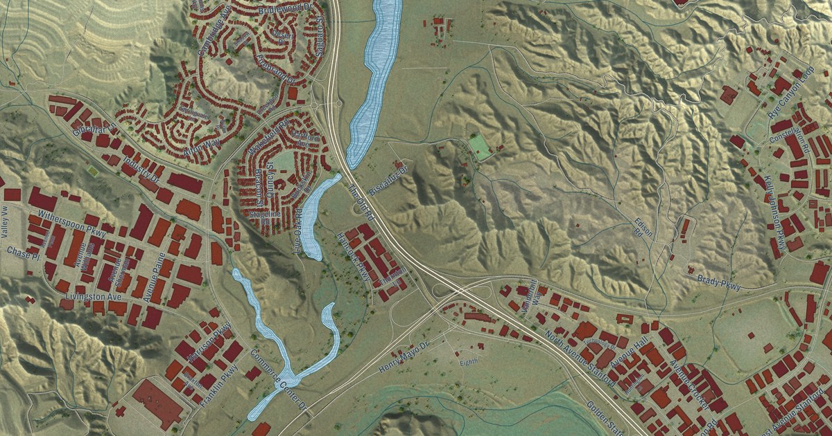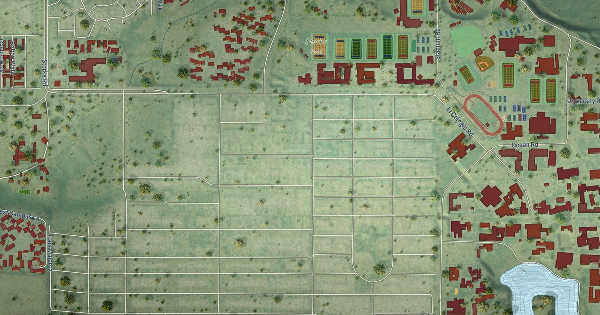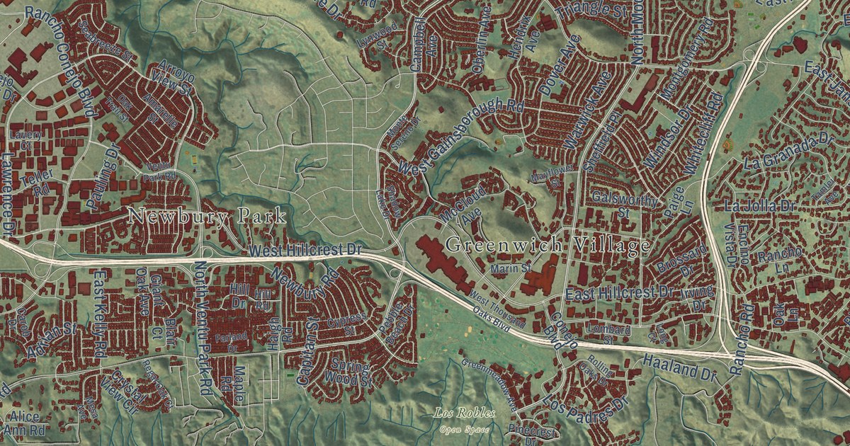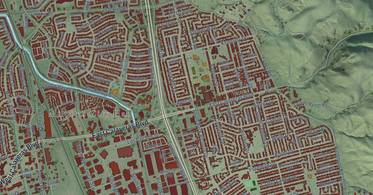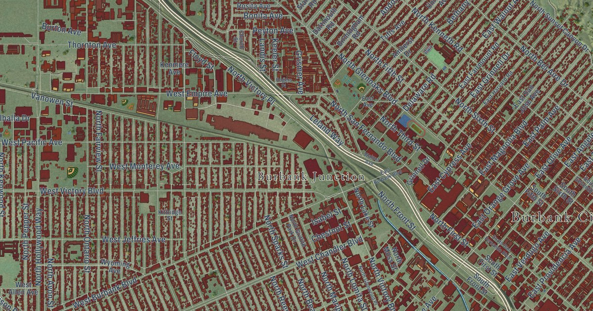
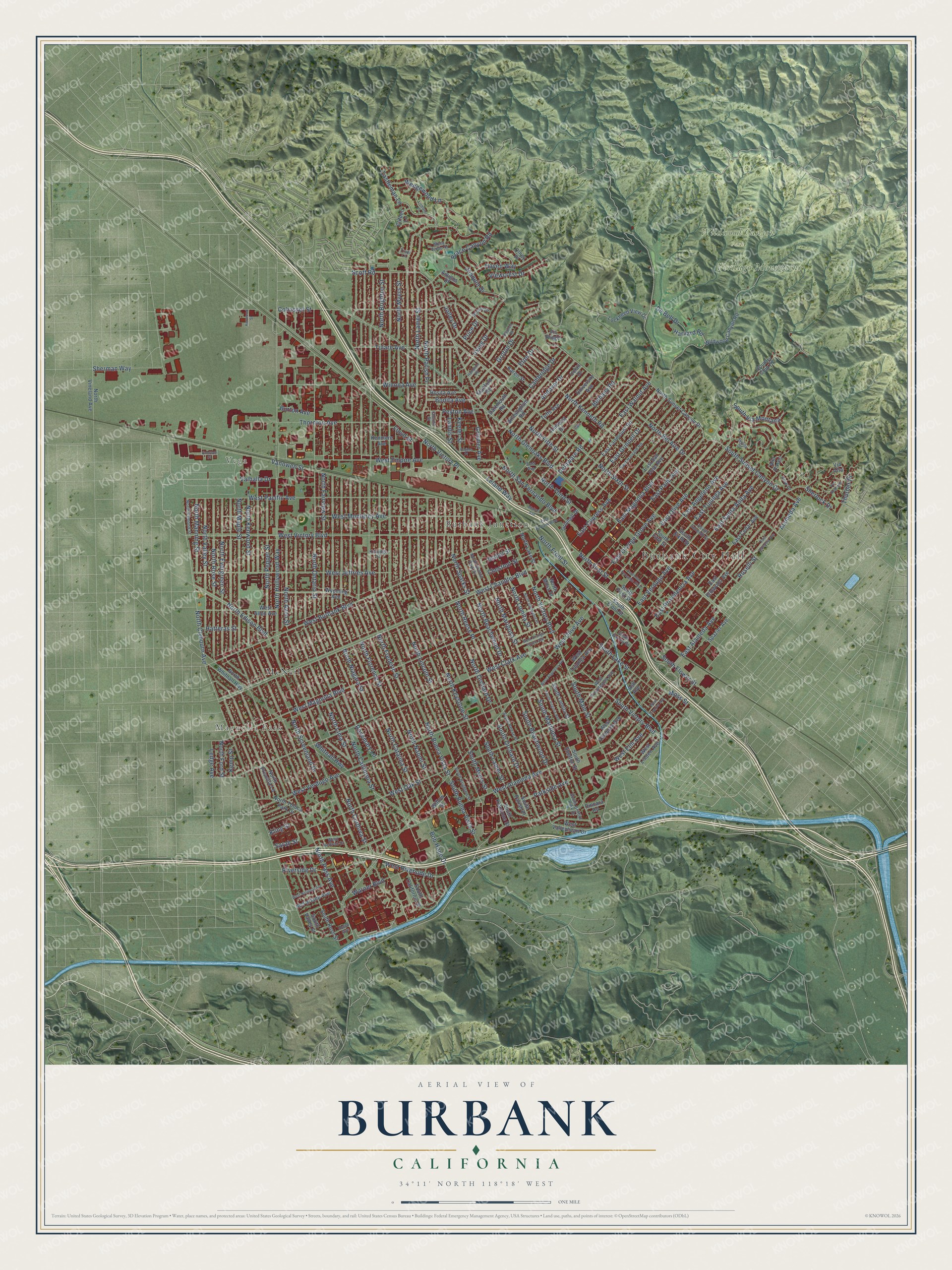
This beautifully detailed map of Burbank, California was created in 2026 using aerial imagery combined with modern topographical, census, street and landmark data. It’s a one-of-a-kind view of Burbank that combines accurate data with a vintage aesthetic. The map shows every building in its true location, many of the roads carry their names, and the shaded topographic relief shows the shape of the land.
Explore an aerial view of Burbank, California
On the map you’ll find Burbank City Hall, Vega, Magnolia Park, Verdugo Mountains, Wildwood Canyon Park, Burbank Junction, McNeil, and North Victory Place, along with North Lincoln Street, South Victory Boulevard, North Victory Boulevard, North Front Street, and more. If you look closely you can even find your house accurately drawn in its correct location. Zoom in on the preview to look for yours.
Did you know this piece of Burbank, California history?
From the National Park Service: "The Burbank City Hall was one of the last projects of this architectural style in the Southern California area, if not the last."
Take a closer look at the Burbank map
Street and place names on the Burbank, California map
These names are printed on the map of Burbank, California.
Places: Burbank City Hall, Vega, Magnolia Park, Verdugo Mountains, Wildwood Canyon Park, Burbank Junction and McNeil.
Streets and roads: North Lincoln Street, North Victory Place, South Victory Boulevard, North Victory Boulevard, North Front Street, North Clybourn Avenue, East Olive Avenue, West Burbank Boulevard, West Olive Avenue, West Pacific Avenue, Parkside Avenue, South Sunset Canyon Drive.
More street names, A to Z
Alameda Avenue, Alta Paseo, Amherst Drive, Amigos Drive, Andover Drive, Ash Avenue, Bethany Road, Birmingham Road, Bob Hope Drive, Bonita Avenue, Brace Canyon Road, Brown Drive, Burton Avenue, Cambridge Drive, Castleman Lane, Chestnut Street, Church Street, Clifden Lane, Cohasset Street, Country Club Drive, Dartmouth Road, De Bell Drive, Delaware Road, Dincara Road, East Alameda Avenue, East Angeleno Avenue, East Avenue, East Burbank Boulevard, East Cedar Avenue, East Cypress Avenue, East Elmwood Avenue, East Fairmount Road, East Grinnell Drive, East Harvard Road, East Magnolia Boulevard, East Orange Grove Avenue, East Palm Avenue, East Providencia Avenue, East San Jose Avenue, East Santa Anita Avenue, East Tujunga Avenue, East Valencia Avenue, East Verdugo Avenue, East Walnut Avenue, Eton Drive, Floyd Street, Grinnell Drive, Grismer Avenue, Groton Drive, Hampton Road, Harvard Road, Hatteras Street, Haven Way, Hood Avenue, Irving Drive, Isabel Street, Joaquin Drive, Jolley Drive, Karen Street, Keeler Street, Kemp Street, Kenmere Avenue, Kenwood Street, Kittridge Street, Kling Street, Landis Street, Ledge Avenue, Leland Way, Lismore Lane, Lockheed View Drive, McFarlane Avenue, Mesa Verde Drive, Moss Street, North Avon Street, North Beachwood Drive, North Bel Aire Drive, North Brighton Street, North Buena Vista Street, North California Street, North Catalina Street, North Cordova Street, North Dymond Street, North Edison Boulevard, North Evergreen Street, North Fairview Street, North Fifth Street, North First Street, North Florence Street, North Ford Street, North Frederic Street, North Glenoaks Boulevard, North Glenwood Place, North Griffith Park Drive, North Hollywood Way, North Kenneth Road, North Kenwood Street, North Keystone Street, North Lake Street, North Lamer Street, North Lima Street, North Lomita Street, North Manning Street, North Maple Street, North Mariposa Street, North Moss Street, North Myers Street, North Naomi Street, North Niagara Street, North Ontario Street, North Orchard Drive, North Parish Place, North Pass Avenue, North Pepper Street, North Priscilla Lane, North Reese Place, North Rose Street, North San Fernando Boulevard, North Screenland Drive, North Sixth Street, North Sparks Street, North Sunset Canyon Drive, North Third Street, North Toluca Park Drive, North Valley Street, North Vineland Avenue, North Whitnall Highway, Olney Place, Peyton Avenue, Price Drive, Pso Redondo, Riverside Drive, Rogers Place, Roselli Street, Rosemary Lane, Rosita Avenue, Sarah Street, Scott Road, Sherlock Drive, Sherman Way, Skyline Drive, South Beachwood Drive, South Brighton Street, South Buena Vista Street, South California Street, South Fifth Street, South First Street, South Flower Street, South Front Street, South Griffith Park Drive, South Keystone Street, South Lake Street, South Lamer Street, South Lomita Street, South Main Street, South Mariposa Street, South Myers Street, South Orchard Drive, South Parish Place, South Reese Place, South Rose Street, South San Fernando Boulevard, South Seventh Street, South Shelton Street, South Sixth Street, South Valley Street, South Varney Street, South Via Montana, South Virginia Avenue, Spazier Avenue, Stanford Road, Stephen Road, Thornton Avenue, Thurber Place, Trudi Lane, Tufts Avenue, Tulare Avenue, Uclan Drive, University Avenue, Valhalla Drive, Vanowen Place, Vanowen Street, Via Alta, Viewcrest Drive, View Drive, Vis Ridge, Walnut Avenue, Warner Boulevard, Wedgewood Lane, West Alameda Avenue, West Allen Avenue, West Angeleno Avenue, West Chandler Boulevard, West Clark Avenue, West Elm Avenue, West Empire Avenue, West Heffron Drive, West Jeffries Avenue, West Linden Avenue, West Magnolia Boulevard, West Monterey Avenue, West National Avenue, West Oak Street, West Orange Grove Avenue, West Providencia Avenue, West Riverside Drive, West Spazier Avenue, West Tujunga Avenue, West Valencia Avenue, West Valleyheart Drive, West Verdugo Avenue, West Victory Boulevard, Whitnall Highway, Wildwood Canyon Road, Willow Street, Winona Avenue, Wyoming Avenue.
See the Burbank, California map on a wall
The Burbank map as an 18 x 24 inch print in a black frame.

This beautifully detailed map of Burbank makes an attractive addition to your office, library, or den, and it can even be used to teach children the geography and history of the area. It also makes a great gift for anyone who grew up in Burbank or moved away. When you’re done exploring, click here to get your copy of the Burbank map.