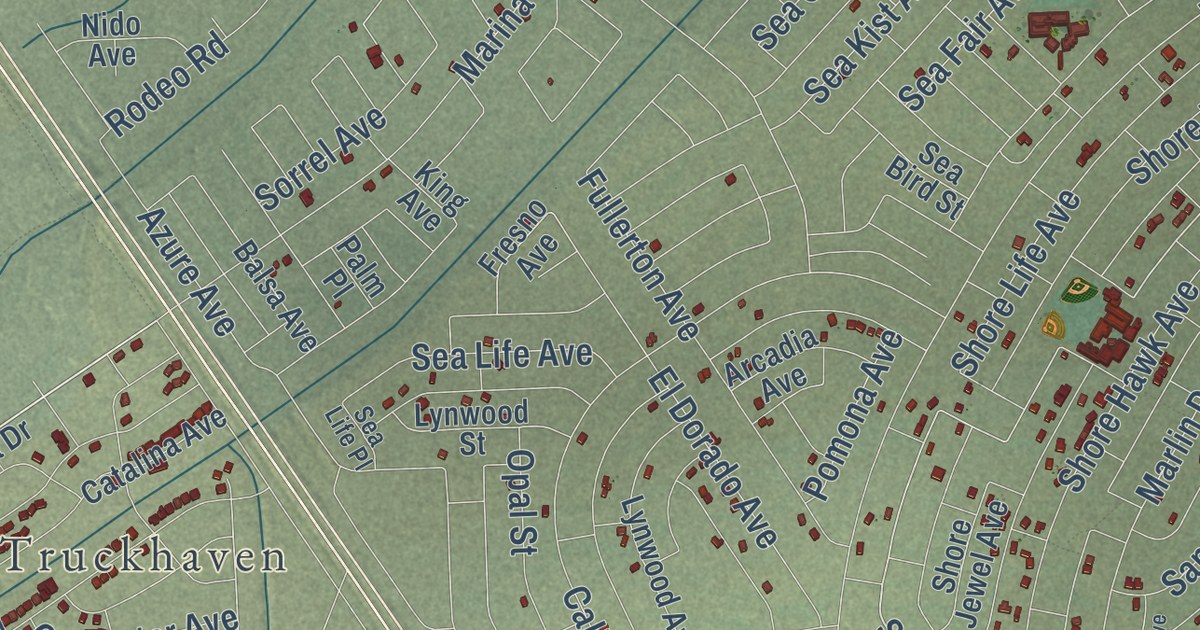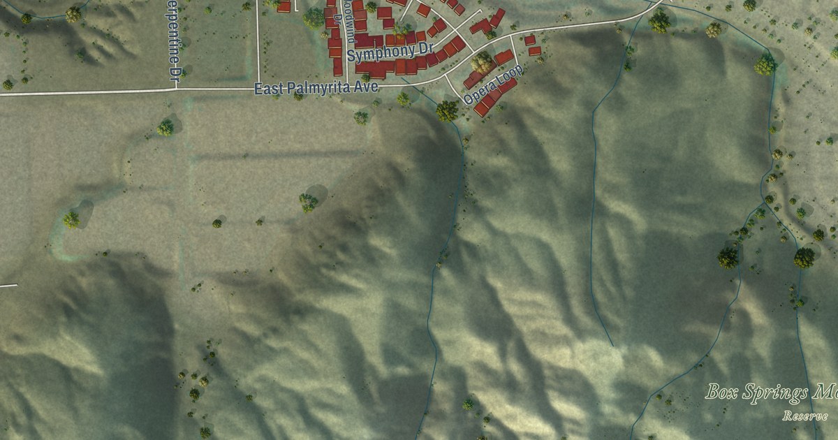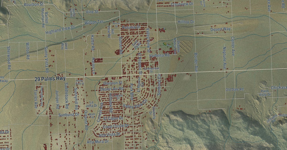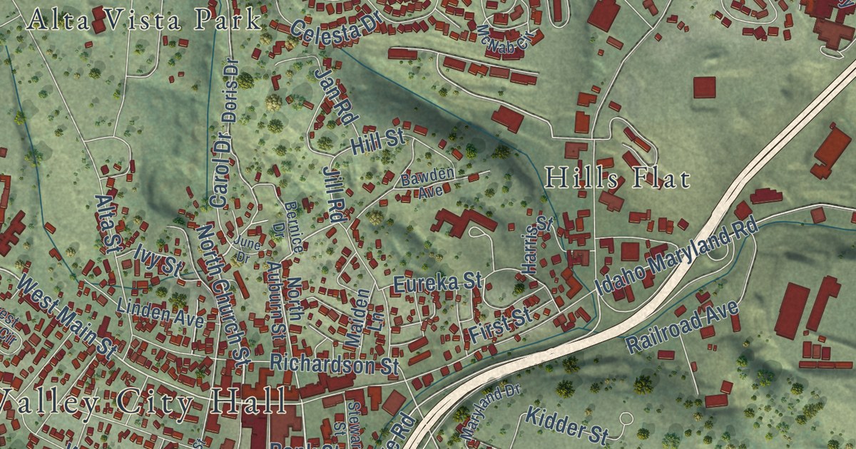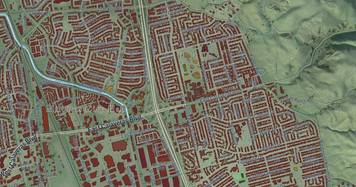
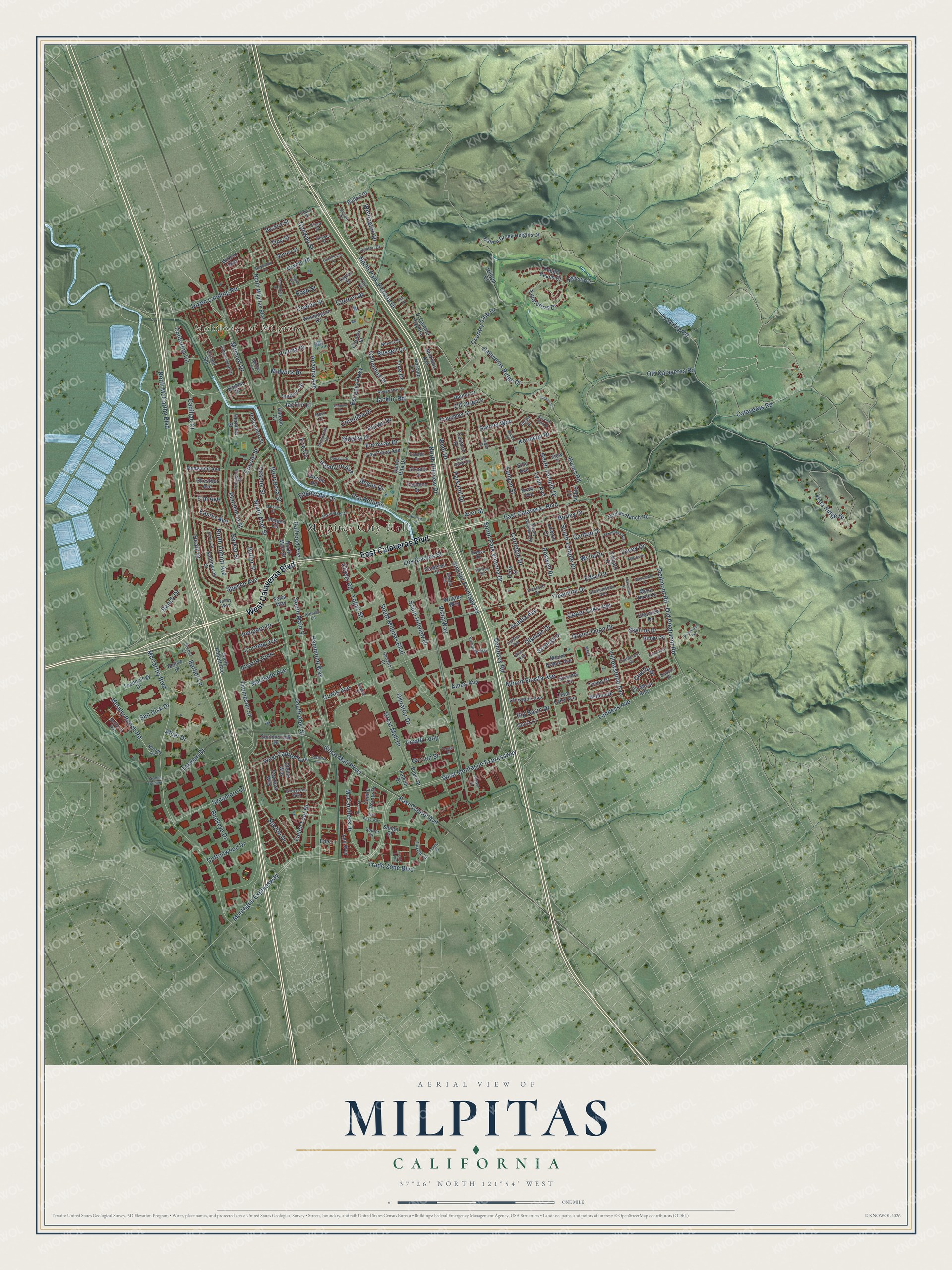
This beautifully detailed map of Milpitas, California was created in 2026 using aerial imagery combined with modern topographical, census, street and landmark data. It’s a one-of-a-kind view of Milpitas that combines accurate data with a vintage aesthetic. The map shows every building in its true location, many of the roads carry their names, and the shaded topographic relief shows the shape of the land.
Explore an aerial view of Milpitas, California
On the map you’ll find Milpitas City Hall and Mobilodge of Milpitas, along with East Calaveras Boulevard, West Calaveras Boulevard, South Park Victoria Drive, Tasman Drive, Great Mall Parkway, East Capitol Avenue, North Park Victoria Drive, California Circle, McCarthy Boulevard, South Main Street, and more. If you look closely you can even find your house accurately drawn in its correct location. Zoom in on the preview to look for yours.
Did you know this piece of Milpitas, California history?
From the National Register of Historic Places: "The Milpitas Grammar School was built in 1916 in the Neoclassical style, constructed of wood, with stucco siding and is one-story."
Take a closer look at the Milpitas map
Street and place names on the Milpitas, California map
These names are printed on the map of Milpitas, California.
Places: Milpitas City Hall and Mobilodge of Milpitas.
Streets and roads: East Calaveras Boulevard, West Calaveras Boulevard, South Park Victoria Drive, Tasman Drive, Great Mall Parkway, East Capitol Avenue, North Park Victoria Drive, California Circle, McCarthy Boulevard, South Main Street, Milmont Drive, North McCarthy Boulevard.
More street names, A to Z
Acadia Avenue, Alcosta Drive, Alder Drive, Alvarez Cmn, Amalfi Loop, Ames Avenue, Angus Drive, Ann Place, Arizona Avenue, Augusta Court, Autrey Street, Ayer Street, Balboa Drive, Barber Court, Barber Lane, Barker Street, Bayview Park Drive, Bellew Drive, Berryessa Street, Berylwood Lane, Big Basin Drive, Bolton Drive, Bond Street, Boyd Street, Braly Avenue, Buckeye Drive, Burley Drive, Buskirk Street, Butano Drive, Butler Street, Cadillac Court, Calaveras Ridge Drive, Calaveras Road, Calera Creek Heights Drive, Cameron Circle, Canada Drive, Canton Drive, Carlsbad Street, Carnegie Drive, Centre Pointe Drive, Centria Lane, Cestaric Drive, Chestnut Avenue, Chewpon Avenue, Chysis Road, Cirolero Street, Clear Lake Avenue, Cll del Sol, Cll Mesa Alta, Cll Oriente, Coelho Street, Columbus Drive, Conway Street, Corinthia Drive, Corning Avenue, Cottonwood Drive, Country Club Drive, Coyote Street, Crater Lake Avenue, Cuciz Lane, Cuesta Drive, Curtis Avenue, Curtner Drive, Daniel Court, Dempsey Road, Devon Place, Diel Drive, Dixon Landing Road, Dixon Road, Donahe Drive, Downing Road, Dubois Street, Easter Avenue, Ede Lane, Edgewater Drive, Edsel Drive, El Camino Higuera, Ellis Avenue, Elm Avenue, Erie Circle, Escuela Parkway, Evans Road, Evergreen Way, Falcato Drive, Falcon Drive, Fallen Leaf Drive, Fanyon Street, Farmcrest Street, Fieldcrest Drive, Freeland Drive, Garden Street, Gemma Drive, Gerald Circle, Gibraltar Court, Gibraltar Drive, Gingerwood Drive, Glenview Drive, Gosser Street, Grand Teton Drive, Greathouse Drive, Great Mall Drive, Greenrock Road, Gross Street, Hamilton Avenue, Hammond Way, Hanson Court, Heath Street, Hermina Street, Hilltop Court, Hillview Court, Horcajo Circle, Houret Drive, Images Circle, Jacklin Court, Jacklin Road, Junipero Drive, Kennedy Drive, Kevenaire Drive, Lacey Drive, Landess Avenue, Lassen Avenue, Lawton Drive, Lee Way, Levin Street, Lexington Street, London Drive, Los Coches Street, Los Pinos Avenue, Lundy Place, Lynn Avenue, Machado Avenue, Marylinn Drive, Mattos Drive, McCandless Drive, Merz Court, Mesa Verde Drive, Midwick Drive, Minnis Circle, Montague Expressway, Mount Diablo Avenue, Mount Shasta Avenue, Murphy Ranch Road, Murphy Road, Nestwood Way, Nicklaus Avenue, Nieves Street, North Abbott Avenue, North Abel Street, North Hillview Drive, North Main Street, North Milpitas Boulevard, North Temple Drive, Old Calaveras Road, Old Piedmont Road, Olympic Drive, Oroville Road, Pacheco Drive, Park Hill Drive, Park View Drive, Parvin Drive, Pebble Beach Court, Penitencia Street, Pepper Place, Perry Street, Pescadero Street, Petersburg Drive, Piedmont Road, Pinard Street, Piper Drive, Platt Avenue, Poppy Lane, Prada Drive, Pso Refugio, Quince Lane, Railroad Avenue, Ranch Drive, Redwood Avenue, Roswell Drive, Russell Lane, San Disk Drive, Sango Court, Santa Rita Drive, Saratoga Drive, Selwyn Drive, Sepulveda Avenue, Serpa Drive, Serra Way, Shenandoah Avenue, Shirley Drive, Silvera Street, Silverlake Drive, Simas Drive, Sinclair Frontage Road, Singley Drive, Sinnott Lane, Skyline Drive, Smithwood Street, Sonoma Drive, South Abbott Avenue, South Abel Street, South Gadsden Drive, South Hillview Drive, South Milpitas Boulevard, South Temple Drive, Spence Avenue, Stardust Way, Starlite Drive, Stellar Way, Stemel Way, Strickroth Drive, Sudbury Drive, Summerfield Drive, Sunnyhills Drive, Sycamore Drive, Tahoe Drive, Tarob Court, Tasman Bridge, Taylor Drive, Technology Drive, Thompson Street, Tice Drive, Tiny Street, Topaz Street, Towne Drive, Trade Zone Boulevard, Tramway Drive, Traughber Street, Trento Loop, Tularcitos Drive, Uridias Ranch Road, Valley Way, Vasona Street, Vegas Avenue, Vienna Drive, View Drive, Vista Ridge Drive, Vista Way, Washington Drive, Watson Court, Wellington Drive, West Capitol Avenue, West Montague Expressway, Wild Rose Way, Wilson Way, Wool Drive, Wrigley Way, Wylie Drive, Yellowstone Avenue, Yosemite Drive, Yosemite Way.
See the Milpitas, California map on a wall
The Milpitas map as an 18 x 24 inch print in a black frame.

This beautifully detailed map of Milpitas makes an attractive addition to your office, library, or den, and it can even be used to teach children the geography and history of the area. It also makes a great gift for someone who left Milpitas and still calls it home. When you’re done exploring, click here to get your copy of the Milpitas map.