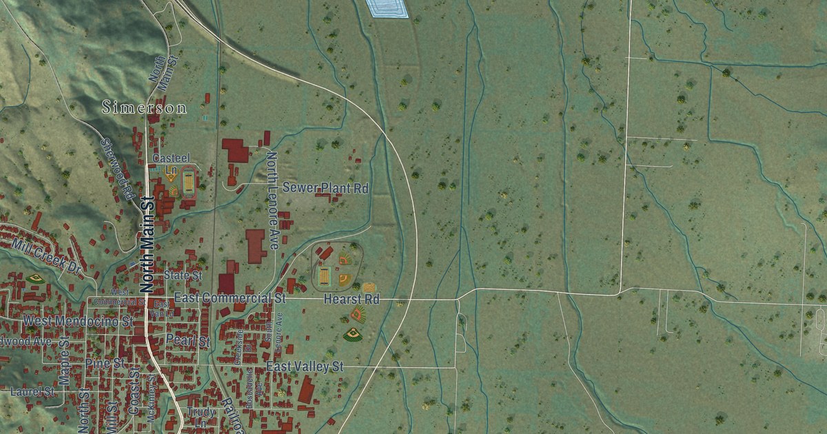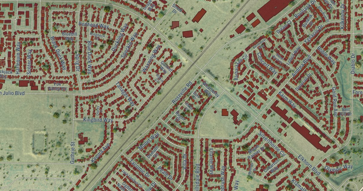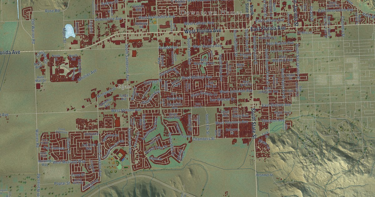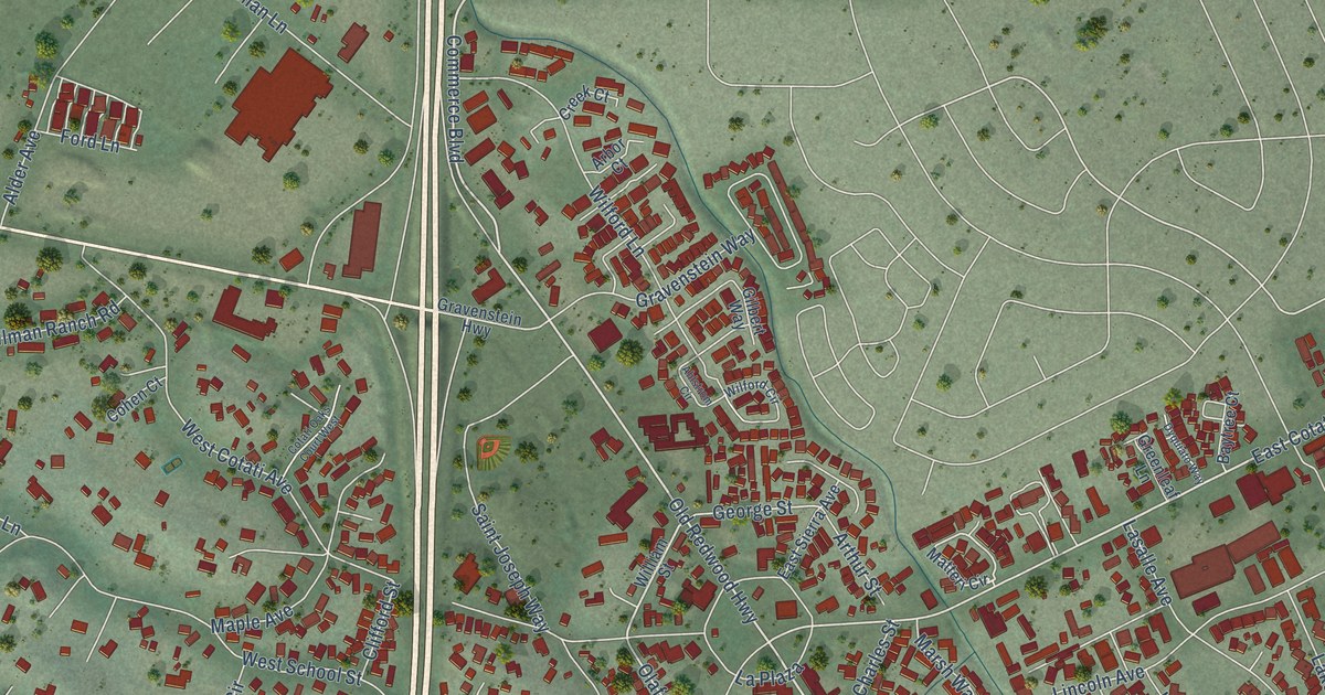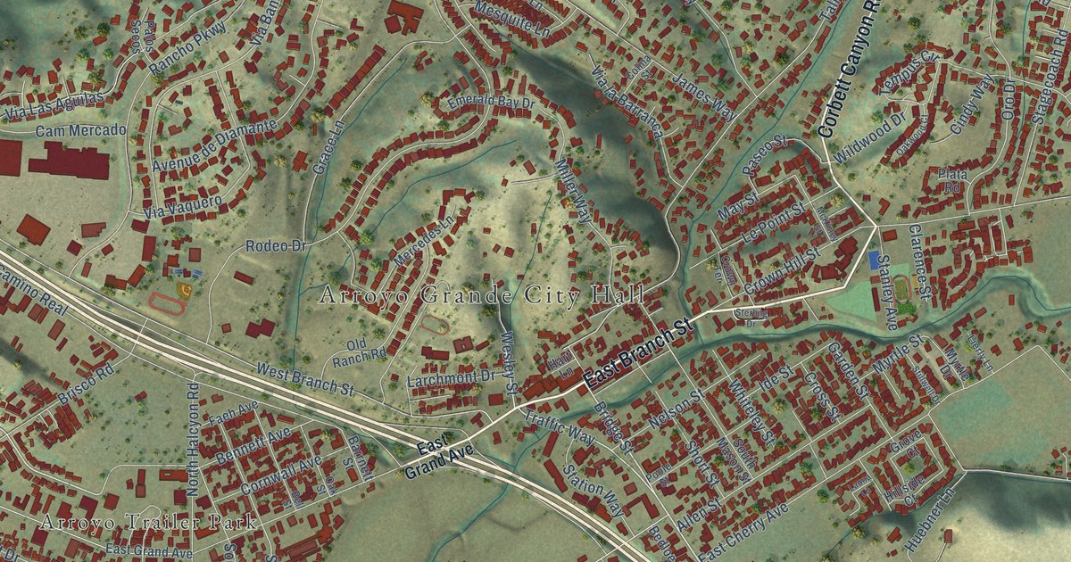
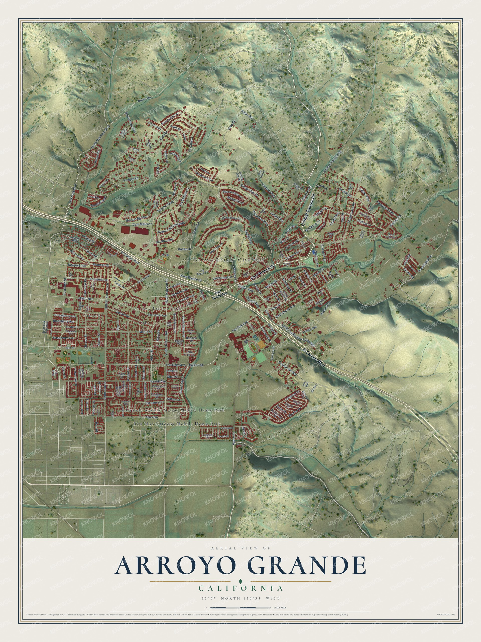
This beautifully detailed map of Arroyo Grande, California was created in 2026 using aerial imagery combined with modern topographical, census, street and landmark data. It's a modern aerial view of Arroyo Grande in San Luis Obispo County, California, that combines modern data with a vintage aesthetic. The roads feature printed names, and if you look closely you can find your exact house accurately shown in its correct location.
Explore an aerial view of Arroyo Grande, California
On this map you'll find Arroyo Grande City Hall, Arroyo Trailer Park, Fairoaks, Grande Mobile Manor Mobile Home Park, Ken Mar Gardens Mobile Home Park, Oaks, East Branch Street, Corbett Canyon Road, El Camino Real, Oak Park Boulevard, South Traffic Way Extended, Traffic Way, and more. Each red shape is a building, so zoom in on the preview and look for yours.
Arroyo Grande has a story worth telling. The National Park Service puts it this way: "Arroyo Grande was a small community, but in 1901 the sixty-six lodge members felt they needed a permanent home."
Arroyo Grande is a city in San Luis Obispo County. The Census Bureau counted 18,441 people here in 2020.
Take a closer look at the Arroyo Grande map
Names on this map
These names are printed on this map.
Places: Arroyo Grande City Hall, Arroyo Trailer Park, Fairoaks, Grande Mobile Manor Mobile Home Park, Ken Mar Gardens Mobile Home Park and Oaks.
Streets and roads: East Branch Street, Corbett Canyon Road, El Camino Real, Oak Park Boulevard, South Traffic Way Extended, Traffic Way, Bridge Street, Linda Drive, Asilo Street, Noyes Road, Arroyo Street, North Oak Park Boulevard.
More street names, A to Z
25th Street, 26th Street, Access Alley, Acorn Drive, Alder Street, Allen Street, Andre Drive, Arabian Circle, Ash Street, Asilo, Aspen Street, Avenue de Diamante, Bakeman Lane, Barnett Street, Barrnett Street, Bedloe Lane, Beech Street, Bell Street, Bennett Avenue, Blackberry Avenue, Blueberry Avenue, Branch Mill Road, Brighton Avenue, Brisco Road, Broadmoor Drive, California Street, Cameron Court, Cam Mercado, Canyon Way, Carol Place, Castillo del Mar, Cedar Street, Cerro Vista Circle, Chilton Street, Cindy Way, Clarence Street, Coach Road, Cobre Place, Colina Street, Cornwall Avenue, Corral Place, Courtland Street, Cranberry Street, Cross Street, Crown Hill Street, Crown Terrace, Deer Trail Circle, Del Mar, Del Sol Street, Del Sur, Diana Place, Dixson Street, Dodson Way, East Cherry Avenue, East Grand Avenue, Easy Street, Eaton Drive, Eman Court, Emerald Bay Drive, Equestrian Way, Faeh Avenue, Fair Oak Avenue, Fair Oaks Avenue, Fair View Drive, Farroll Avenue, Flora Road, Forest Glen Drive, Garden Street, Garfield Place, Gaynfair Terrace, Glenoak Drive, Golden West Place, Grace Lane, Grand Avenue, Grieb Drive, Grove Court, Gularte Road, Hart Lane, Hidden Oak Road, Hillcrest Drive, Hillside Court, Hodges Road, Huasna Road, Huebner Lane, Ide Street, Innesley Drive, James Way, Jenny Place, Juniper Street, La Canada, La Cresta Drive, Lancaster Drive, Larchmont Drive, Launa Lane, La Vista Court, Leanna Drive, Ledo Place, Le Point Street, Lierly Lane, Longden Drive, Los Berros Road, Los Ciervos, Maple Street, Mathew Way, May Street, McKinley Street, Meadow Way, Mercedes Lane, Mesa Drive, Mesquite Lane, Miller Way, Montego Street, Morning Rise Lane, Myrtle Drive, Myrtle Street, Nelson Street, Newman Drive, Newport Avenue, Noel Street, North Elm Street, North Halcyon Road, Oak Hill Road, Oak Street, Oakwood Court, Old Ranch Road, Olive Street, Orchard Avenue, Orchard Street, Oro Drive, Palm Court, Palos Secos, Park Way, Paseo Street, Paul Place, Pearl Drive, Pearwood Avenue, Pecan Place, Pecan Street, Pine Street, Plata Road, Platino Lane, Poole Street, Poplar Street, Printz Road, Puesta del Sol, Ralph Beck Lane, Rancho Parkway, Raspberry Avenue, Refugio Place, Ridgeview Way, Robin Circle, Rodeo Drive, Rosemary Lane, Ruth Ann Way, Sandalwood Avenue, Scenic Circle, Short Street, Sierra Drive, Sombrillo, South Alpine Street, South Elm Street, South Halcyon Road, South Mason Street, South Oak Park Boulevard, South Rena Street, Spanish Moss Lane, Spruce Street, Stagecoach Road, Stanley Avenue, Starlight Lane, Station Way, Sterling Drive, Stillwell Drive, Stonecrest Drive, Strawberry Avenue, Sunrise Drive, Sunrise Terrace, Sunset Drive, Sycamore Drive, Tally Ho Road, Tanner Lane, Tempus Circle, The Pike, Tierra Street, Todd Lane, Trinity Avenue, Turquoise Drive, Valley Road, Vard Loomis Lane, Verde Place, Via Bandolero, Via la Barranca, Via Las Aguilas, Via Vaquero, Victorian Court, Victoria Way, Village Glen Drive, Vista Circle, Vista Drive, Walnut Street, Wesley Street, West Branch Street, Whiteley Street, Wild Oak Place, Wildwood Drive, Willow Lane, Woodland Drive, Wood Place, Zogata Way.
Created by KNOWOL in 2026. The buildings are small red shapes, the roads carry their printed names, and shaded relief shows the shape of the land. The title panel reads "AERIAL VIEW OF ARROYO GRANDE CALIFORNIA" with 35°07' NORTH 120°35' WEST.
It looks right in a kitchen, an office or a den, and it's a gift for anyone who grew up in Arroyo Grande or moved away. Open the preview and find your street. See sizes and frames for the Arroyo Grande map.