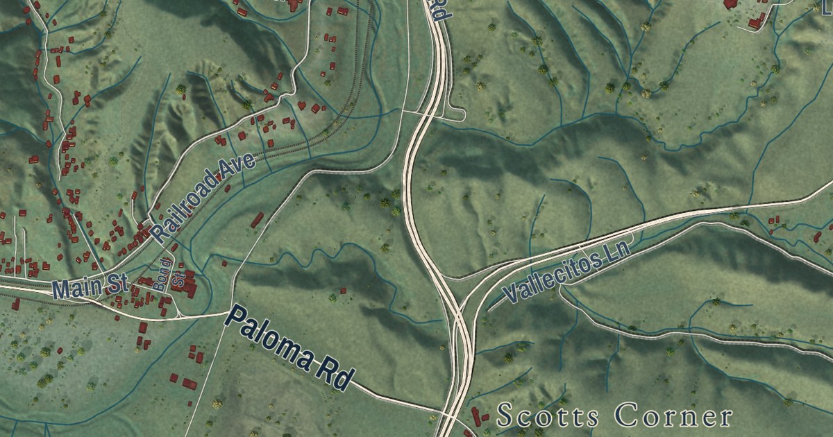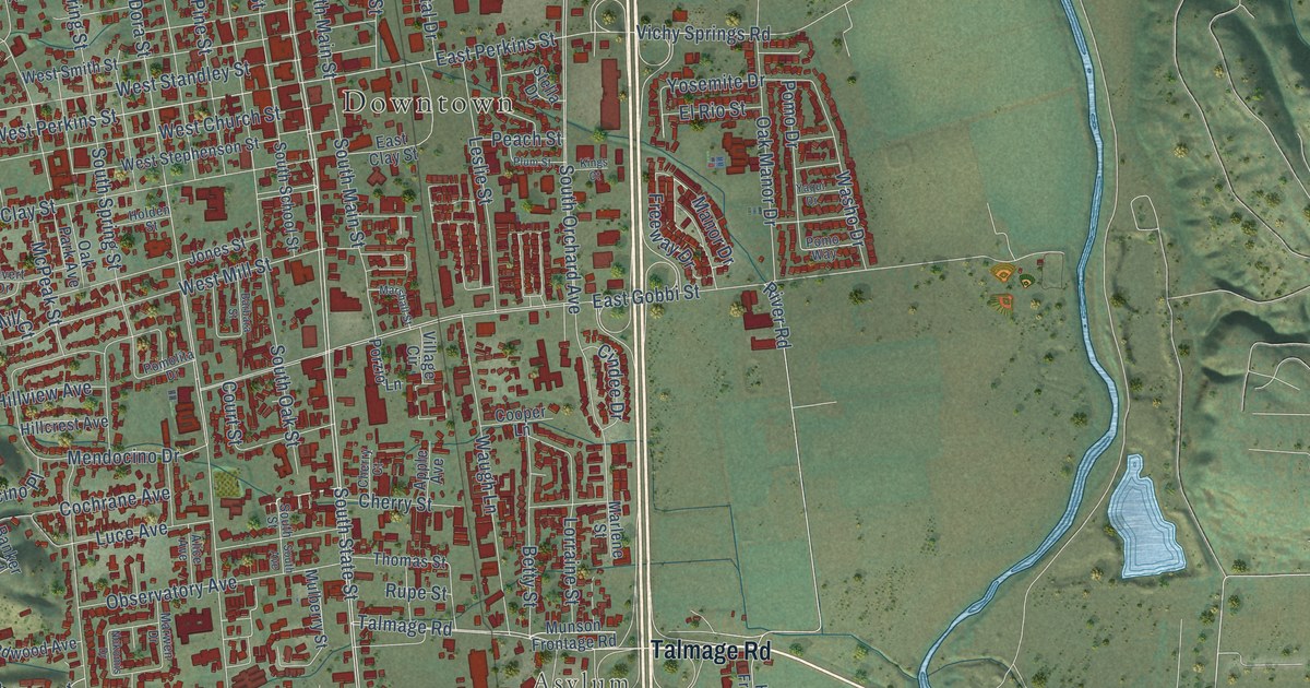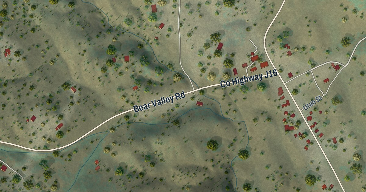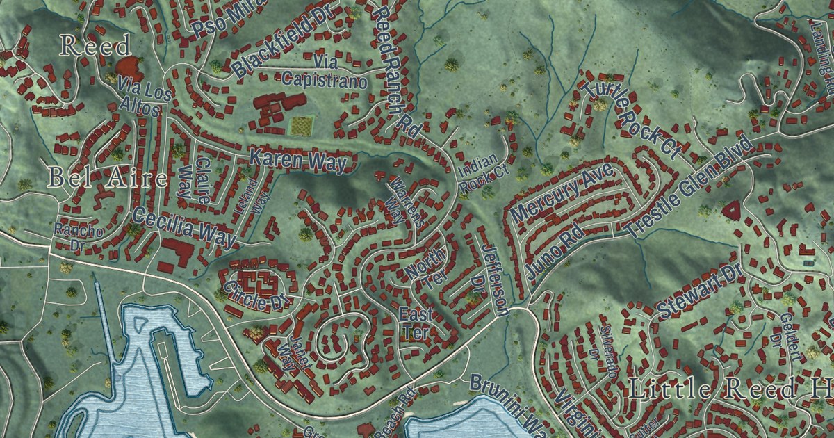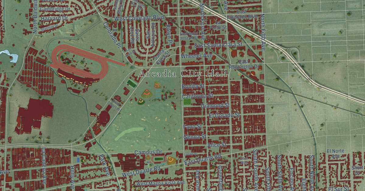
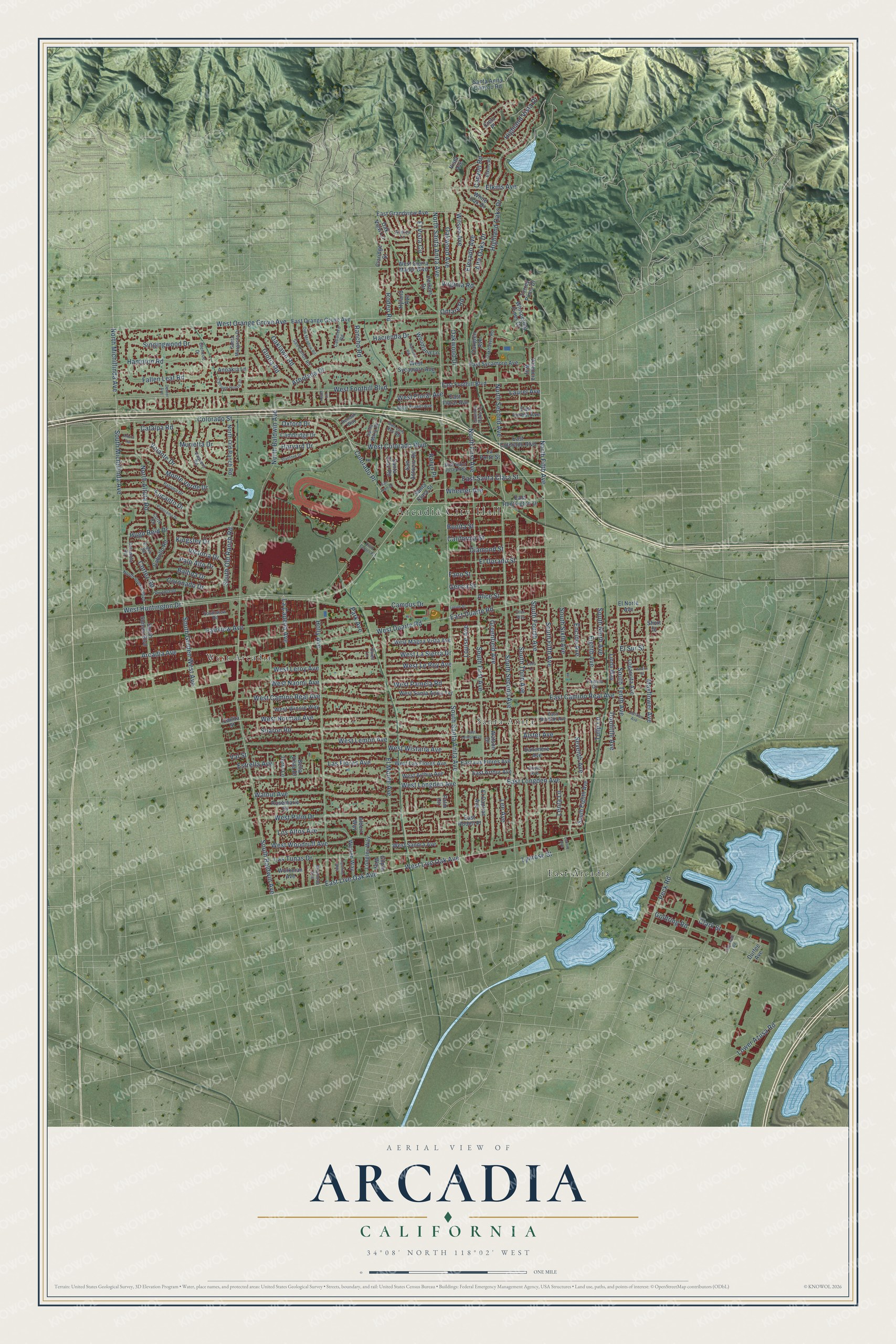
This beautifully detailed map of Arcadia, California was created in 2026 using aerial imagery combined with modern topographical, census, street and landmark data. It’s a one-of-a-kind view of Arcadia that combines accurate data with a vintage aesthetic. The map shows every building in its true location, many of the roads carry their names, and the shaded topographic relief shows the shape of the land.
Explore an aerial view of Arcadia, California
On the map you’ll find Arcadia City Hall, East Arcadia, Santa Anita, and West Arcadia, along with West Huntington Drive, South Santa Anita Avenue, South Second Avenue, East Live Oak Avenue, South Fifth Avenue, North Santa Anita Avenue, Colorado Street, West Live Oak Avenue, and more. If you look closely you can even find your house accurately drawn in its correct location. Zoom in on the preview to look for yours.
Did you know this piece of Arcadia, California history?
From the Encyclopaedia Britannica: "The city was laid out in 1888 on lands of what by then had become the privately owned Rancho Santa Anita."
Take a closer look at the Arcadia map
Street and place names on the Arcadia, California map
These names are printed on the map of Arcadia, California.
Places: Arcadia City Hall, East Arcadia, Santa Anita and West Arcadia.
Streets and roads: West Huntington Drive, South Santa Anita Avenue, South Second Avenue, East Live Oak Avenue, South Fifth Avenue, North Santa Anita Avenue, Colorado Street, West Live Oak Avenue, North Second Avenue, East Duarte Road, West Colorado Boulevard, North Michillinda Avenue.
More street names, A to Z
Albert Way, Alice Street, Alster Avenue, Alta Oaks Drive, Altern Street, Altura Terrace, Andrea Lane, Anoakia Lane, Arbolada Drive, Arcadia Avenue, Asder Lane, Balboa Drive, Bella Vista Drive, Bonita Street, Caballero Road, Cabrillo Road, California Street, Callita Street, Cambridge Drive, Campus Drive, Canyon Road, Caroline Way, Carriage House Drive, Catalpa Road, Cielo Place, Civic Center Place, Claridge Street, Clark Street, Cogswell Road, Colorado Place, Columbia Road, Coronado Drive, Cortez Road, Corto Road, Country Oaks Lane, Coyle Avenue, Danimere Avenue, Dexter Avenue, Diamond Street, Doolittle Avenue, Drake Road, Durfee Avenue, East Arthur Avenue, East Camino Real Avenue, East Colorado Boulevard, East Floral Avenue, East Foothill Boulevard, East Forest Avenue, East Grandview Avenue, East Huntington Drive, East Las Flores Avenue, East Lemon Avenue, East Longden Avenue, East Norman Avenue, East Orange Grove Avenue, East Rodell Place, East Saint Joseph Street, East Santa Clara Street, East Sycamore Avenue, Eighth Avenue, El Capitan Avenue, El Dorado Street, Elevado Avenue, Elkins Avenue, Elkins Place, Ellen Way, El Monte Avenue, El Norte Avenue, El Sur Street, El Vista Circle, Encanto Drive, Encino Avenue, Estrella Avenue, Ewell Lane, Fairview Avenue, Fallen Leaf Road, Fano Street, Genoa Street, Gilpin Way, Glencoe Drive, Gloria Road, Goldring Road, Greenfield Avenue, Hacienda Drive, Hampton Road, Harvard Drive, Highland Oaks Drive, Highland Vista Drive, Holly Avenue, Hugo Reid Drive, Hyland Avenue, Jeffries Avenue, Kingsley Drive, La Cadena Avenue, La Porte Street, Las Flores Avenue, Las Tunas Drive, Laurel Avenue, Leda Lane, Lee Avenue, Lenore Avenue, Lenta Lane, Linda Way, Loganrita Avenue, Longley Way, Los Altos Avenue, Louise Avenue, Lower Azusa Road, Lucile Street, Lynrose Street, Mayflower Avenue, Monte Verde Drive, Murietta Drive, North Altura Road, North Baldwin Avenue, North Fifth Avenue, North First Avenue, North Old Ranch Road, North Sunset Boulevard, Oakglen Avenue, Oakhaven Road, Oaklawn Road, Oak Meadow Road, Oak View Lane, Oakwood Avenue, Oakwood Drive, Ontare Road, Oxford Drive, Palm Circle, Palo Alto Drive, Paloma Drive, Pamela Circle, Panorama Drive, Park Avenue, Peck Road, Perkins Drive, Portola Drive, Ramona Road, Rancho Road, Renoak Way, Rodeo Road, Rolyn Place, Rosemarie Drive, San Antonio Road, San Carlos Road, San Juan Drive, San Luis Rey Road, Santa Anita Canyon Road, Santa Clara Street, Santa Cruz Road, Santa Margarita Drive, Santa Maria Road, Seventh Avenue, Sharon Road, Short Street, Singingwood Drive, South Baldwin Avenue, South Eighth Avenue, South First Avenue, South Fourth Avenue, South Golden West Avenue, South Michillinda Avenue, South Ninth Avenue, South Old Ranch Road, South Sixth Avenue, South Sunset Boulevard, South Tenth Avenue, South Third Avenue, Southview Road, Stanford Drive, Terra Lane, Torrey Pines Drive, Tulip Lane, Valencia Way, Val Street, Vaquero Road, Victoria Drive, Virginia Road, Vista Avenue, Volante Drive, Walnut Avenue, Warren Way, Watson Drive, West Arthur Avenue, West Camino Real Avenue, West Duarte Road, West Floral Avenue, West Foothill Boulevard, West Forest Avenue, West Las Flores Avenue, West La Sierra Drive, West Lemon Avenue, West Le Roy Avenue, West Leroy Avenue, West Longden Avenue, West Magna Vista Avenue, West Naomi Avenue, West Norman Avenue, West Orange Grove Avenue, West Palm Drive, West Pamela Road, West Sandra Avenue, West Santa Anita Terrace, West Sierra Madre Boulevard, West Sycamore Avenue, West Winnie Way, West Wistaria Avenue, West Woodruff Avenue, Wheeler Avenue, Whispering Pines Drive, White Oak Drive, Wilson Avenue, Winthrop Avenue, Woodland Lane, Workman Avenue.
See the Arcadia, California map on a wall
The Arcadia map as an 18 x 24 inch print in a black frame.

This beautifully detailed map of Arcadia makes an attractive addition to your office, library, or den, and it can even be used to teach children the geography and history of the area. It also makes a great gift for anyone who grew up in Arcadia or moved away. When you’re done exploring, click here to get your copy of the Arcadia map.