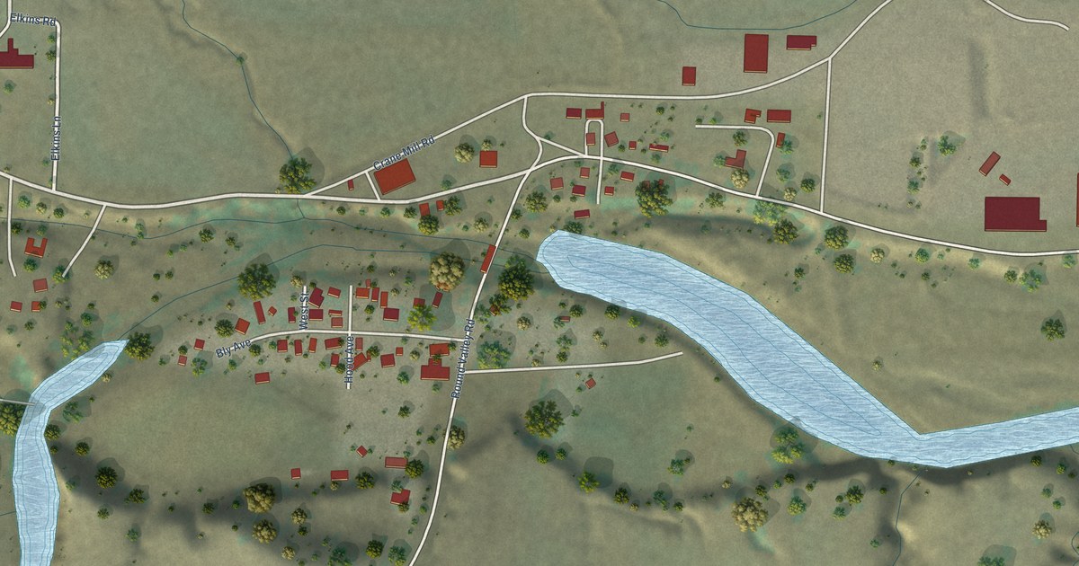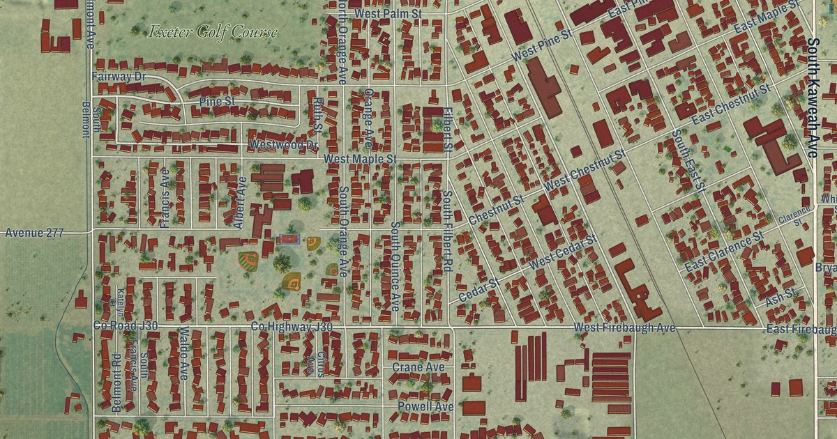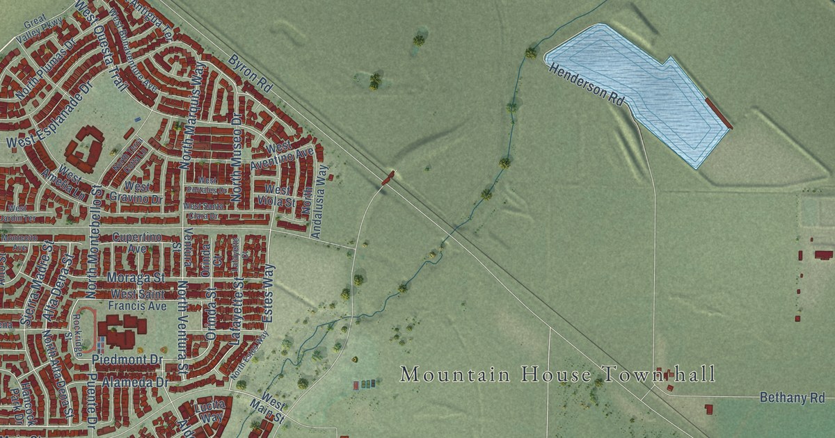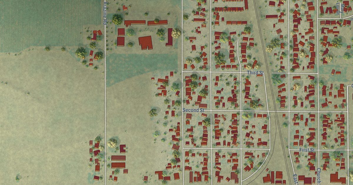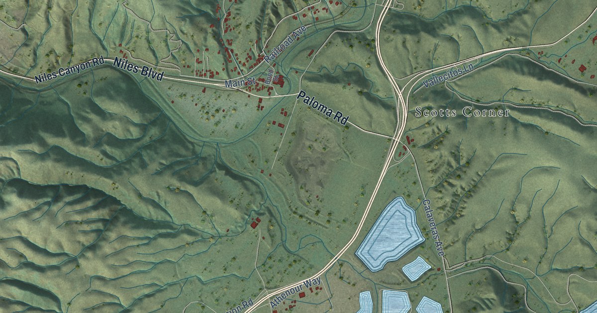
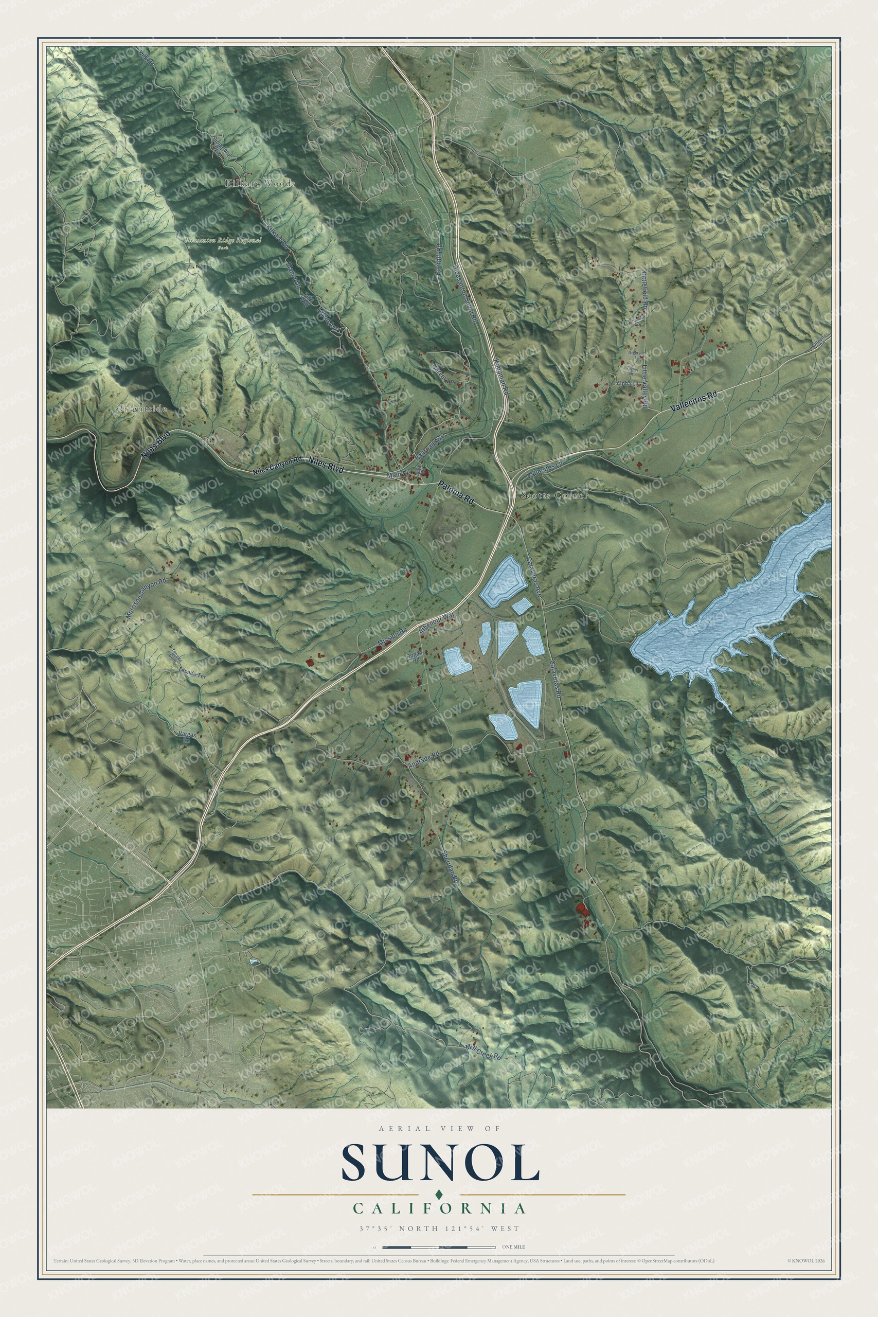
This beautifully detailed map of Sunol, California was created in 2026 using aerial imagery combined with modern topographical, census, street and landmark data. It's a modern aerial view of Sunol in Alameda County, California, that combines modern data with a vintage aesthetic. The roads feature printed names, and if you look closely you can find your exact house accurately shown in its correct location.
Explore an aerial view of Sunol, California
On this map you'll find Kilkare Woods, Brightside, Pleasanton Ridge Regional Park, Scotts Corner, Vallecitos Road, Niles Boulevard, Paloma Road, Kilkare Road, Foothill Road, Mill Creek Road, Calaveras Road, Calaveras Avenue, and more. Each red shape is a building, so zoom in on the preview and look for yours.
Here is a piece of Sunol history. Sunol was named for Antonio Sunol, a native of Spain who left the French ship Bordelais in 1818. By 1839 he was part owner of the Rancho El Valle de San Jose, the land where the town and valley lie, and early travelers often wrote of his hospitality and his rich garden. That's from the 1969 place-name book by Erwin Gudde.
Sunol is a community in Alameda County. The Census Bureau counted 922 people here in 2020.
Take a closer look at the Sunol map
Names on this map
These names are printed on this map.
Places: Kilkare Woods, Brightside, Pleasanton Ridge Regional Park and Scotts Corner.
Streets and roads: Vallecitos Road, Niles Boulevard, Paloma Road, Kilkare Road, Foothill Road, Mill Creek Road, Calaveras Road, Calaveras Avenue, Sheridan Road, Pleasanton Sunol Road, Mission Road, Little Valley Road.
More street names, A to Z
Alpha Lane, Andrade Road, Athenour Way, Bond Street, Carver Lane, Fern Way, Kilkare, Koopman Road, Littlefield Road, Main Street, Manor Drive, Morrison Canyon Road, Niles Canyon Road, Railroad Avenue, Rogan Road, Sigerson Lane, Singalong Way, Strachan Lane, Tecado Com, Tecado Terrace, Toyon Avenue, Turner Lane, Vallecitos Lane, Vargas Road.
See it on a wall
The Sunol map as a framed print. Swipe for more.


Created by KNOWOL in 2026. The buildings are small red shapes, the roads carry their printed names, and shaded relief shows the shape of the land. The title panel reads "AERIAL VIEW OF SUNOL, CALIFORNIA" with 37°35' NORTH 121°54' WEST.
It suits a den, a classroom or a front hall, and it makes a gift for anyone with Sunol roots. Open the preview and find the block you know. See sizes and frames for the Sunol map.