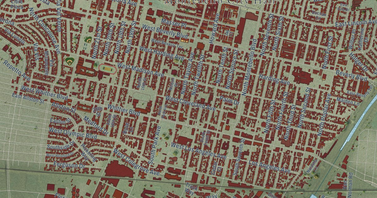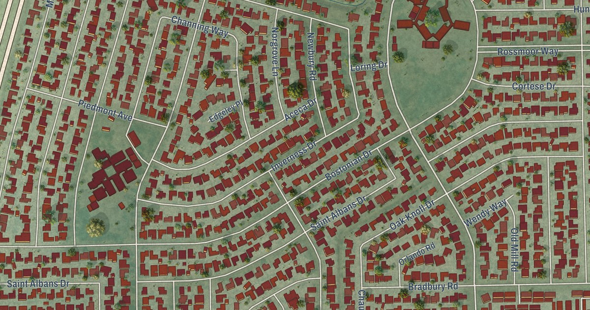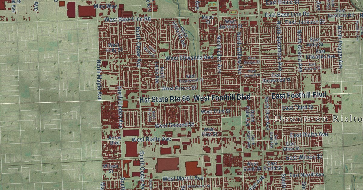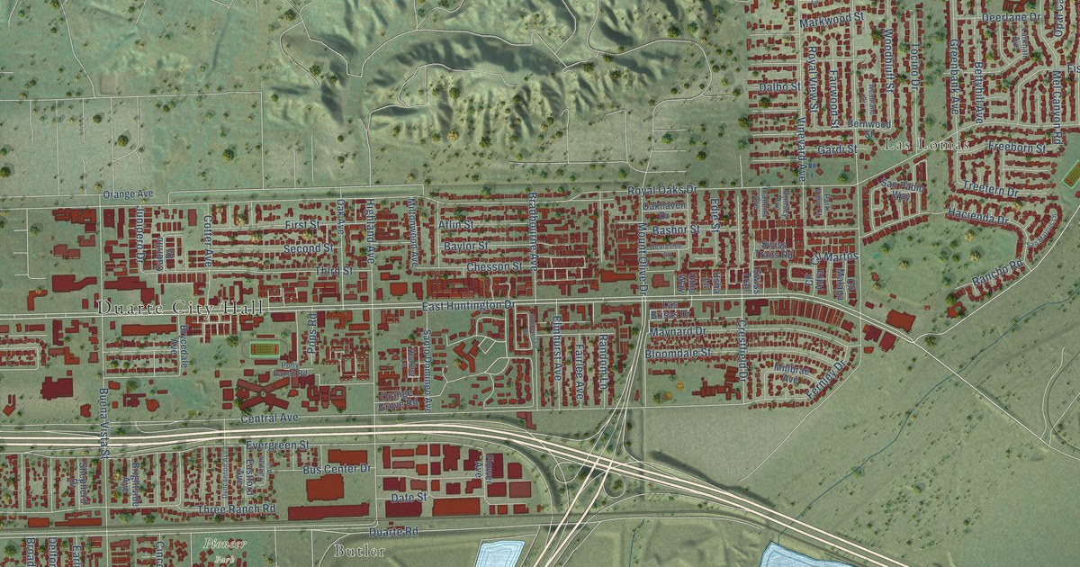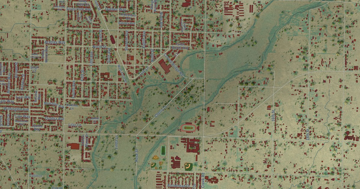
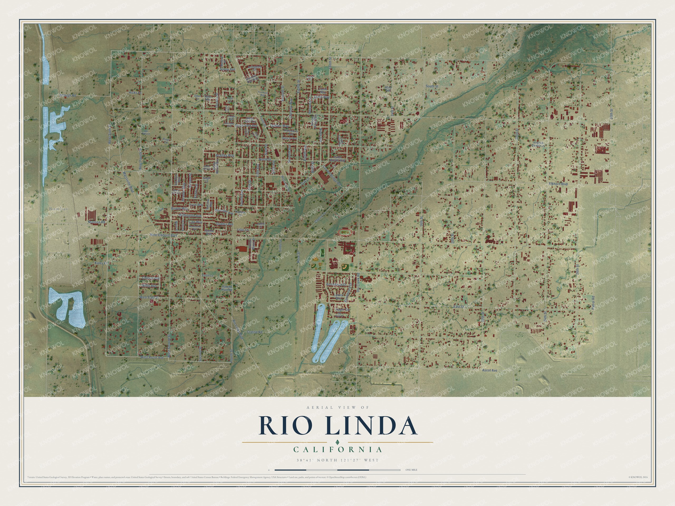
This beautifully detailed map of Rio Linda, California was created in 2026 using aerial imagery combined with modern topographical, census, street and landmark data. It's a modern aerial view of Rio Linda in Sacramento County, California, that combines modern data with a vintage aesthetic. The roads feature printed names, and if you look closely you can find your exact house accurately shown in its correct location.
Explore an aerial view of Rio Linda, California
On this map you'll find Bombay, West Sixth Street, Ascot Avenue, West Ascot Avenue, Front Street, Oak Lane, Linn Way, Elkhorn Boulevard, Dry Creek Road, Rio Linda Boulevard, East Street, Second Street, and more. Each red shape is a building, so zoom in on the preview and look for yours.
Rio Linda is a community in Sacramento County. The Census Bureau counted 15,944 people here in 2020. The map prints the town name in its title panel, with the coordinates below it.
Take a closer look at the Rio Linda map
Names on this map
These names are printed on this map.
Places: Bombay.
Streets and roads: West Sixth Street, Ascot Avenue, West Ascot Avenue, Front Street, Oak Lane, Linn Way, Elkhorn Boulevard, Dry Creek Road, Rio Linda Boulevard, East Street, Second Street, West Second Street.
More street names, A to Z
14th Street, 16th Street, 18th Street, 20th Street, 22nd Street, 24th Street, 26th Street, 28th Street, Acorn Hill Court, Albemarle Avenue, Aljay Avenue, Archway Avenue, Arlingdale Circle, Arrowhead Drive, Beamer Way, Belcamp Street, Birnam Street, Bolin Street, Bradley Way, Buckboard Drive, Castle Creek Way, Cherri Lynn Avenue, Cherry Lane, Chesney Way, Chisum Avenue, Collin Lane, Crystal Road, Curved Bridge Road, Dabney Avenue, Del Wes Lane, Dorado Street, Eden Lane, Eighth Avenue, Eighth Street, Eleverta Rail Way, Elkhorn Manor Drive, Evcar Way, Fallon Woods Way, Fifth Avenue, Fifth Street, Fourth Avenue, Fourth Street, Fox Hunt Way, Hanson Lane, Hayer Circle, Herring Avenue, Hicks Lane, Hust Lane, Jamie Court, Jc Court, Jubilee Way, Kaley Lane, Kenora Street, Lilac Lane, Linda Lane, Lomita Way, Lucile Way, Maldive Street, Marnice Road, Marysville Boulevard, Montague Way, Monticello Avenue, Ninth Avenue, Ninth Street, North Street, Paladin Way, Patrol Road, Pixel Lane, Quadra Avenue, Quebec Way, Quiet Way, Rancho Ryan Road, Randy Street, Rinetti Way, Rose Street, Savoy Avenue, Seventh Avenue, Seventh Street, Shady Valley Court, Shady Woods Way, Shingle Wood Way, Silver Crest Circle, Silver Knoll Street, Silver Park Avenue, Silver Tree Court, Singh Lane, Sixth Avenue, Sixth Street, Ski Park Court, South Street, Straugh Road, Sun Acer Way, Sunview Way, Tejon Avenue, Tenth Street, Virginia Denise Lane, West East Street, West Elkhorn Boulevard, West Fourth Street, West Front Street, Willis Avenue, Withington Avenue.
Created by KNOWOL in 2026. The buildings are small red shapes, the roads carry their printed names, and shaded relief shows the shape of the land. The title panel reads "AERIAL VIEW OF RIO LINDA CALIFORNIA" with 38°41' NORTH 121°27' WEST.
Hang it in the hallway, the office or the cabin, or give it to someone who left Rio Linda and still calls it home. Open the preview and look for a street you know. See sizes and frames for the Rio Linda map.