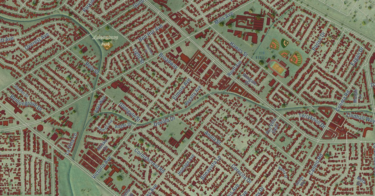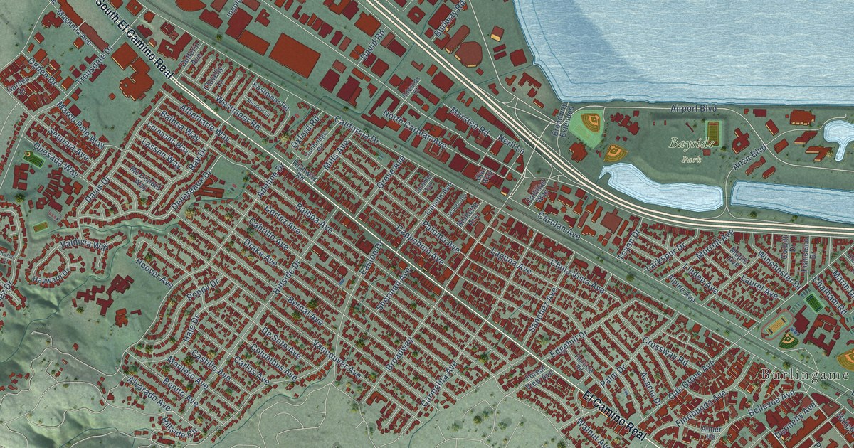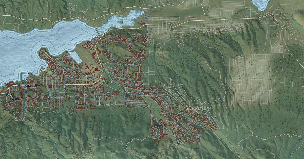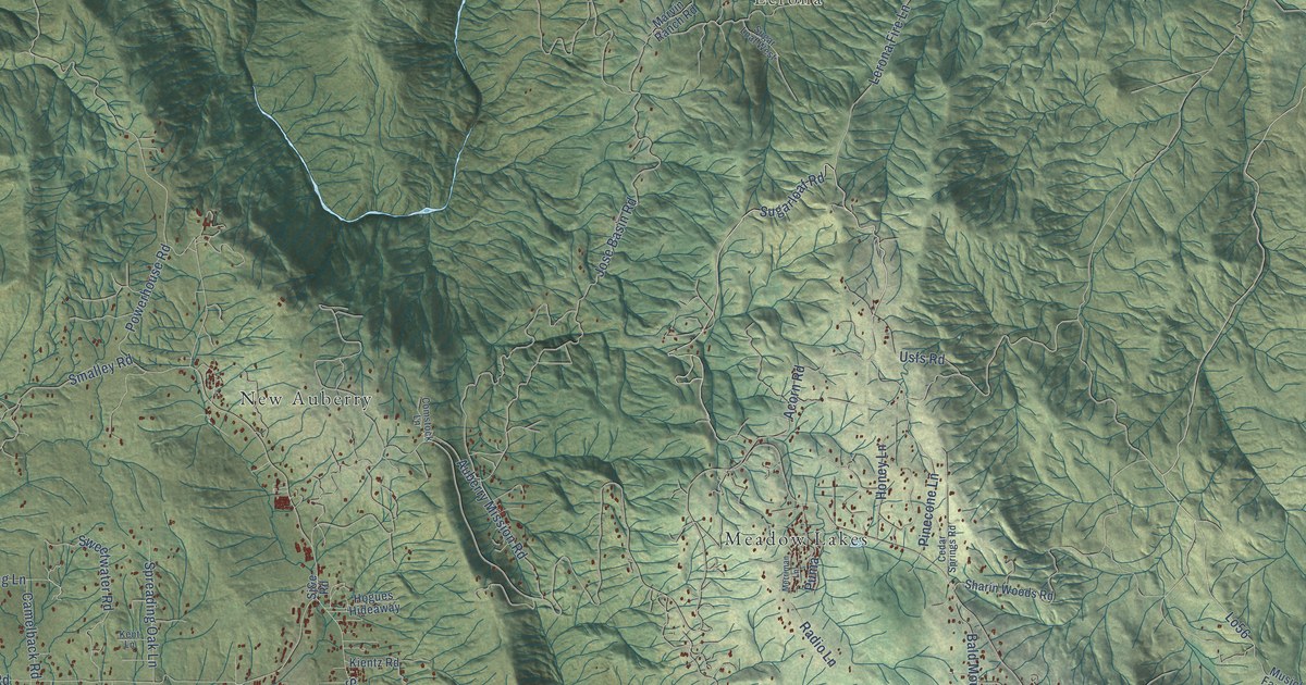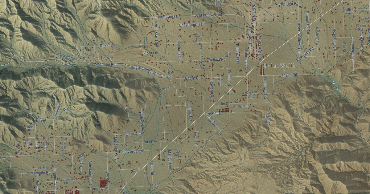
This beautifully detailed map of Morongo Valley, California was created in 2026 using aerial imagery combined with modern topographical, census, street and landmark data. It's a modern aerial view of Morongo Valley in San Bernardino County, California, that combines modern data with a vintage aesthetic. The roads feature printed names, and if you look closely you can find your exact house accurately shown in its correct location.
Explore an aerial view of Morongo Valley, California
On this map you'll find Little Morongo Heights, Palm Wells, San Gorgonio Wilderness, Sand to Snow National Monument, 29 Palms Highway, Hess Boulevard, Cedar Drive, Samel Road, Juniper Avenue, Canyon House Road, Mecca Road, Hoopa Road, and more. Each red shape is a building, so zoom in on the preview and look for yours.
Morongo Valley has a story worth telling. Big Morongo Canyon was a desert oasis, with food and water, for thousands of years, and homesteading and ranching began there in the mid-1800s. It stayed a working ranch until 1968, when The Nature Conservancy bought 80 acres from J. L. Covington to save the habitat, and in 1974 the land was dedicated as a wildlife preserve. In 2016 the preserve became part of the new Sand to Snow National Monument, which links it by wildlife corridors to Joshua Tree National Park. That's from the Big Morongo Canyon Preserve.
Morongo Valley is a community in San Bernardino County. The Census Bureau counted 3,514 people here in 2020.
Take a closer look at the Morongo Valley map
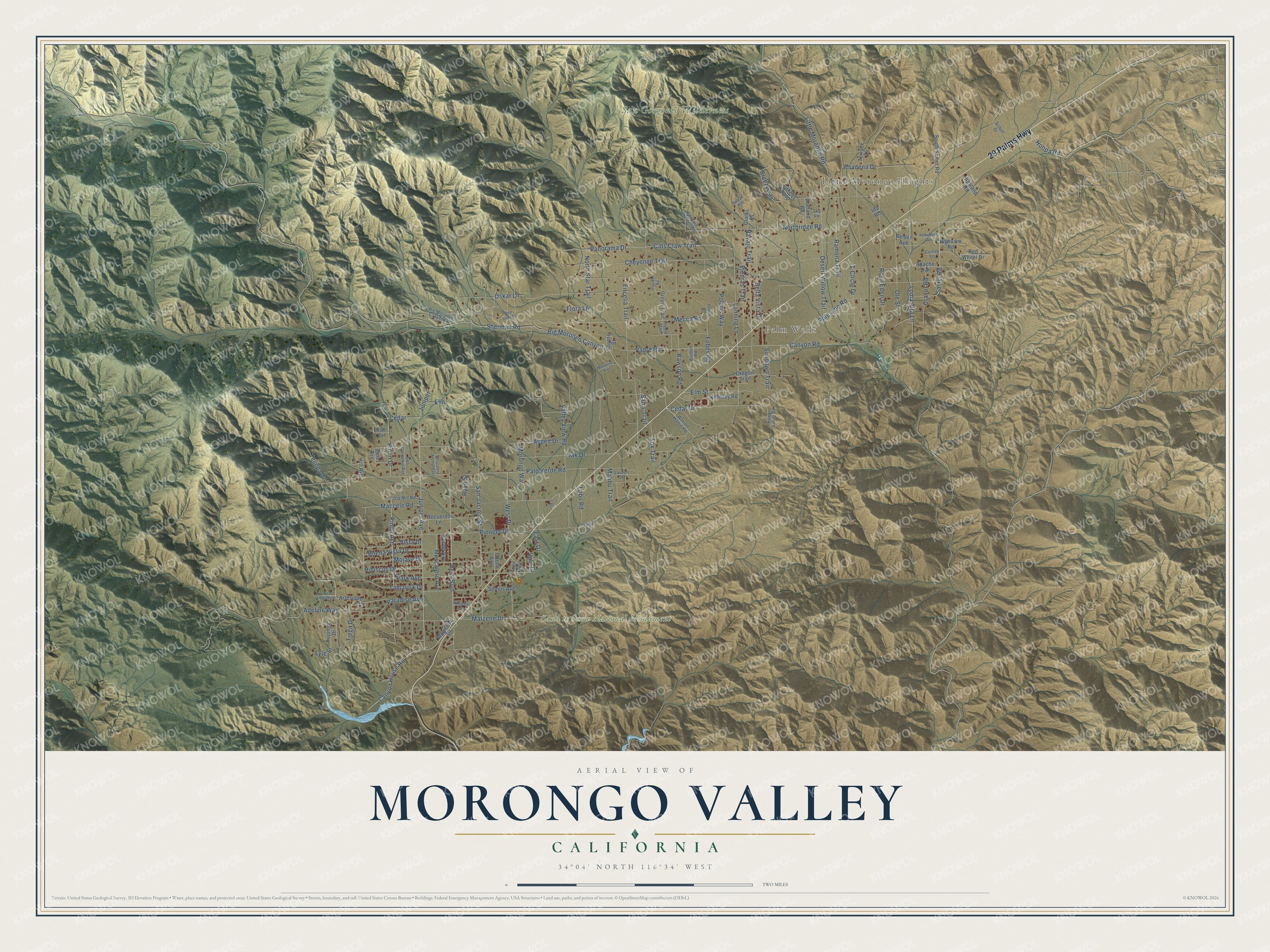
Names on this map
These names are printed on this map.
Places: Little Morongo Heights, Palm Wells, San Gorgonio Wilderness and Sand to Snow National Monument.
Streets and roads: 29 Palms Highway, Hess Boulevard, Cedar Drive, Samel Road, Juniper Avenue, Canyon House Road, Mecca Road, Hoopa Road, East Drive, Sherman Road, Cheyenne Trail, Pole Line Road.
More street names, A to Z
Abeland Road, Adeline Way, Altadena Drive, Apache Trail, Artesia Way, Ash Drive, Aspen Drive, Bardell Road, Belden Avenue, Bella Vista Drive, Big Morongo Canyon, Big Morongo Canyon Road, Bird Paradise, Breezeway, Breeze Way, Buena Vista Drive, Canyon Road, Cats Claw Trail, Cedar, Cholla Avenue, Clarks Ps, Conley Lane, County Road, Coyote Street, Craver Road, Creem Trail, Cypress Road, Desert Willow Trail, East, East Inner Drive, Elm, Elm Street, Encelia Trail, Flora Lane, Fobes Road, Forbes Road, Fox Trail, Green Trail, Hawk Valley Road, Hibiscus Drive, Highland Road, Highview Road, Hill Avenue, Ida Road, Juniper, Kensley Road, Knobb Avenue, Lanning Lane, Laurel Drive, Leopard Springs Road, Little Morongo Road, Lobo Road, Loma Alta Lane, Lukens Loop, Lyle Street, Maccele Road, Magnolia Drive, Malibu Trail, Matzene Drive, Mescalero Avenue, Mescalero Avenue East, Mesquite Trail, Mojave Drive, Morongo Way, Navajo Trail, Northridge Road, North Star Trail, Oak Drive, Old Mill Road, Ole Street, Oregon Trail, Oskar Lane, Padre Road, Palo Verde Road, Panorama Drive, Paradise Avenue, Park Avenue, Piedras Trail, Pine Avenue, Pinon Avenue, Pinon Drive, Pioneer Drive, Polaris Way, Ramona Trail, Rawson Road, Recuerdo Lane, Red Wheel Drive, Redwheels Drive, Rose Eden Drive, Rosella Drive, Ryan Street, Sams Trail, San Gorgonio Avenue, San Jacinto Street, Scholl Drive, Senilis Avenue, Sky Vw, South Samel Road, Sundown Trail, T-Circle Drive, Tamarisk Drive, Tecopa Drive, Terrace Drive, Tioga Drive, Trail Way, Tujunga Drive, Vale Drive, Valley View Road, Vista Drive, Warren Martin Road, West Drive.
See it on a wall
The Morongo Valley map as a framed print. Swipe for more.


Created by KNOWOL in 2026. The buildings are small red shapes, the roads carry their printed names, and shaded relief shows the shape of the land. The title panel reads "AERIAL VIEW OF MORONGO VALLEY, CALIFORNIA" with 34°04' NORTH 116°34' WEST.
It looks right in a kitchen, an office or a den, and it's a gift for anyone who grew up in Morongo Valley or moved away. Open the preview and find your street. See sizes and frames for the Morongo Valley map.