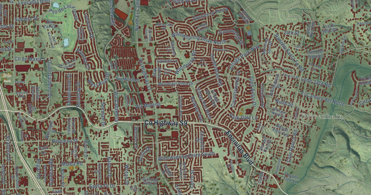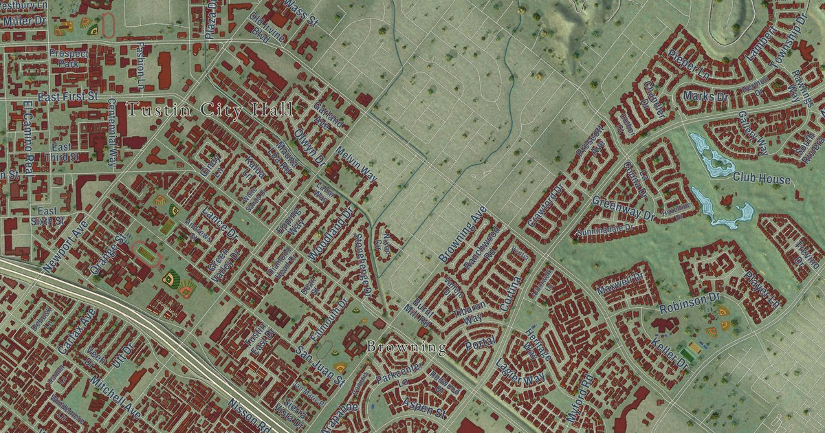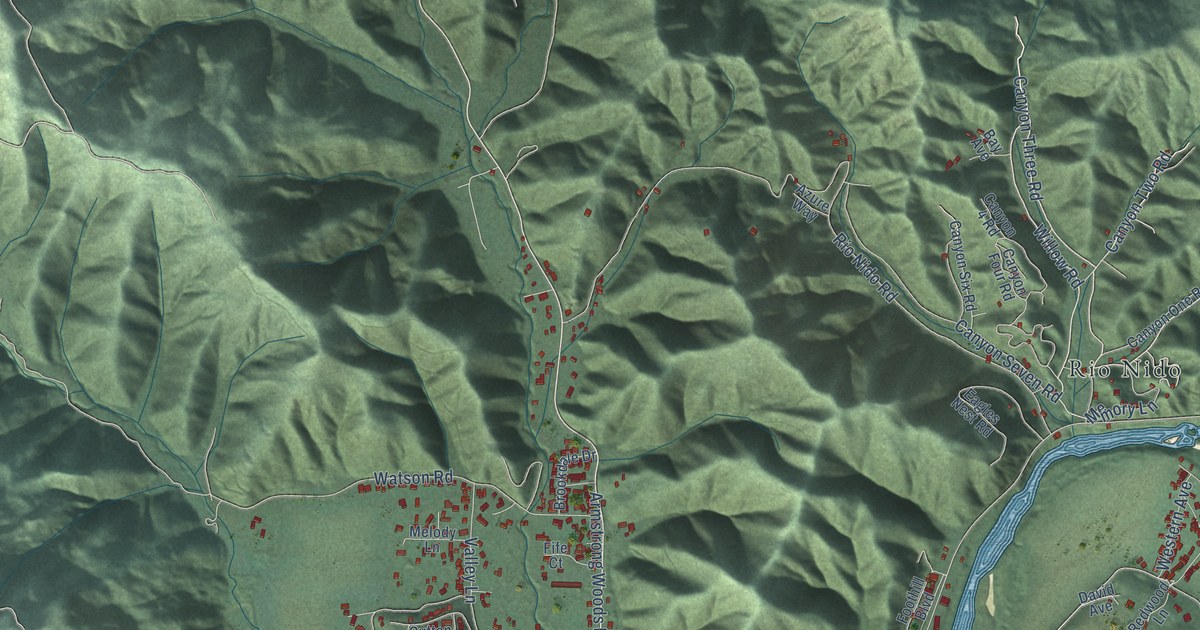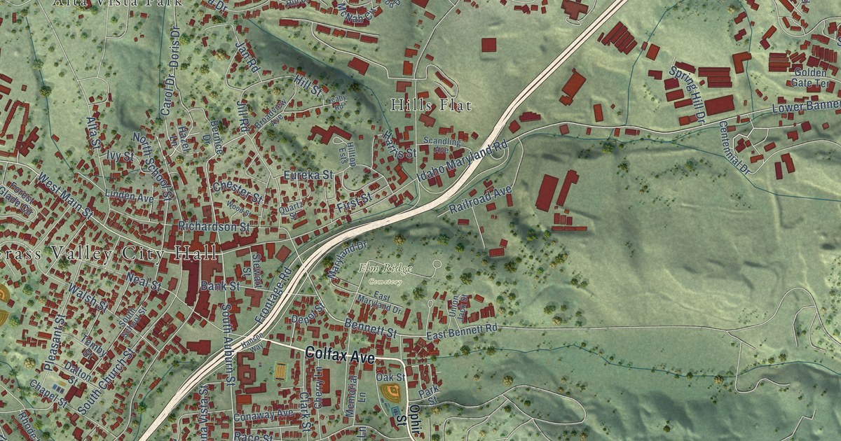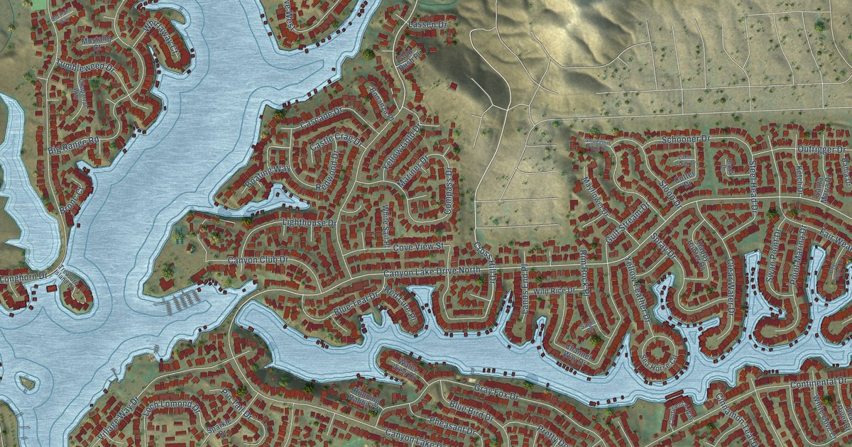
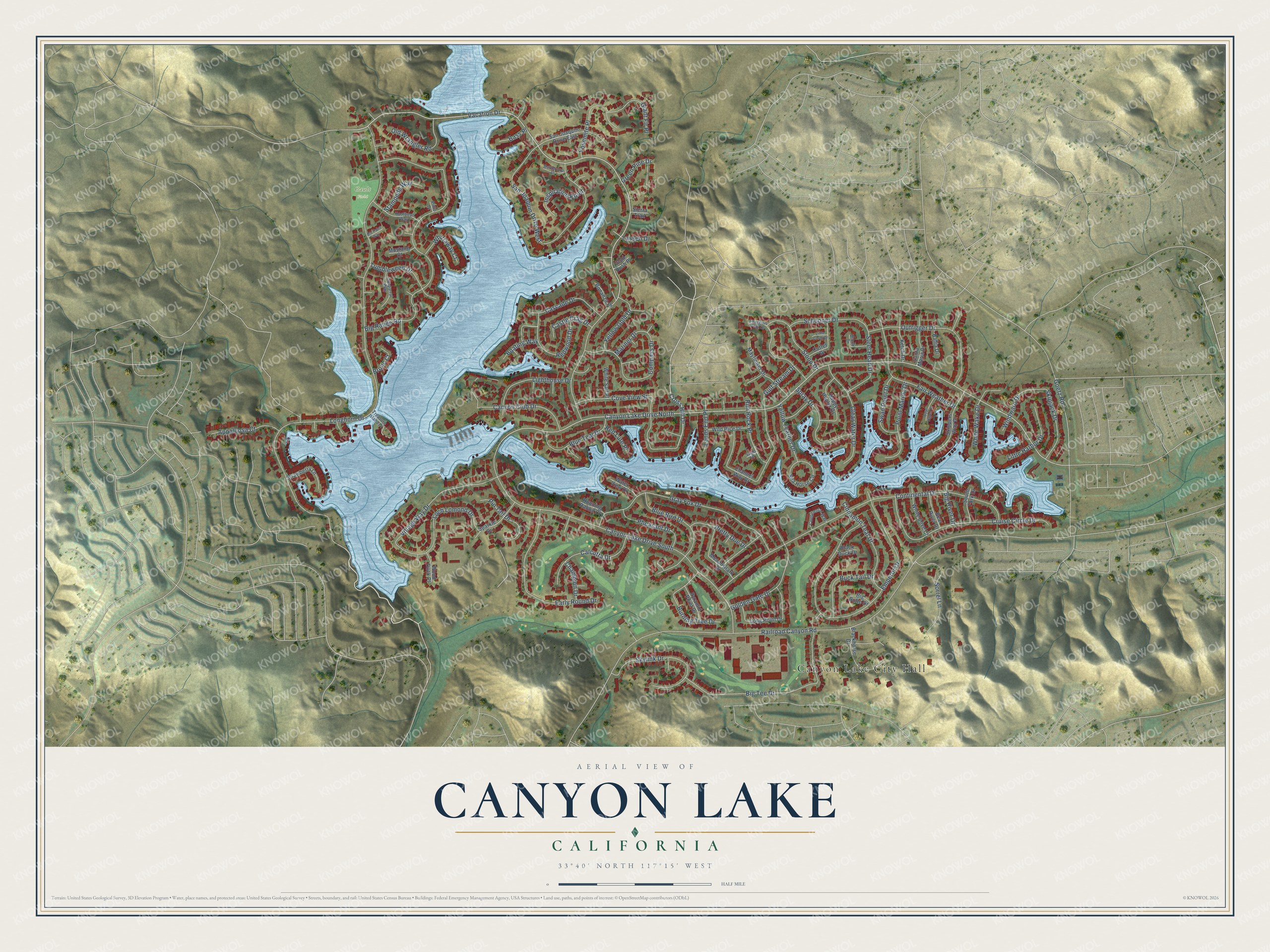
This beautifully detailed map of Canyon Lake, California was created in 2026 using aerial imagery combined with modern topographical, census, street and landmark data. It's a modern aerial view of Canyon Lake in Riverside County, California, that combines modern data with a vintage aesthetic. The roads feature printed names, and if you look closely you can find your exact house accurately shown in its correct location.
Explore an aerial view of Canyon Lake, California
On this map you'll find Canyon Lake City Hall, Gault Field, Cross Hill Drive, Redwood Drive, Vacation Drive, Longhorn Drive, Railroad Canyon Road, Continental Drive, Big Range Road, Emperor Drive, Gray Fox Drive, Big Tee Drive, and more. Each red shape is a building, so zoom in on the preview and look for yours.
Canyon Lake is a city in Riverside County. The Census Bureau counted 11,082 people here in 2020. The map prints the town name in its title panel, with the coordinates below it.
Take a closer look at the Canyon Lake map
Names on this map
These names are printed on this map.
Places: Canyon Lake City Hall and Gault Field.
Streets and roads: Cross Hill Drive, Redwood Drive, Vacation Drive, Canyon Lake Drive North, Longhorn Drive, Railroad Canyon Road, Canyon Lake Drive South, Continental Drive, Big Range Road, Emperor Drive, San Joaquin Drive West, Gray Fox Drive.
More street names, A to Z
Appaloosa Court, Bahia Drive, Bass Place, Bear River Drive, Big Butte Drive, Big River Drive, Big Tee Drive, Black Duck Drive, Blackhorse Drive, Blue Bird Drive, Blue Teal Drive, Boat Haven Drive, Boating Way, Bonanza Place, Bronc Court, Brook Drive, Buck Tail Drive, Burning Tree Drive, Buttercup Place, Calcutta Drive, Canyon Club Drive, Cascade Drive, Castle Crag Drive, Champion Drive, Channel Way Drive, Chaparral Way, Cinnamon Teal Drive, Clear Water Drive, Compass Drive, Continental Way, Cove View Street, Cruise Circle Drive, Cutter Drive, Early Round Drive, Fair Weather Drive, Giant Fir Place, Goetz Road, Golden Gate Drive, Gold Rush Place, Green Pine Drive, Gulf Stream Drive, Happy Hunter Drive, Hoofbeat Way, Inspiration Point, Ketch Drive, Lands End Place, Lassen Drive, Lighthouse Drive, Little Creek Drive, Little Harbor Drive, Loch Lomond Drive, Long Point Drive, Mariner Drive, Mayflower Drive, Meadowlark Drive, Mustang Court, Old Paint Way, Old Wrangler Road, Outrigger Drive, Pheasant Drive, Pin Tail Drive, Pinto Drive, Point Marina Drive, Pretty Doe Drive, Pyramid Point Drive, Red Lure Place, Rim Rock Place, Running Rabbit Court, Sage Place, San Joaquin Drive East, Santa Maria Drive, Schooner Drive, Sea Horse Circle, Sierra Trail, Skipjack Drive, Skippers Way Drive, Skylink Drive, Sloop Drive, Smugglers Point Drive, Sorrel Lane, South Fork Drive, Sparkle Drive, Spray Drive, Stampede Way, Steel Head Drive, Strawberry Lane, Swan Point Drive, Treasure Island Drive, Tumbleweed Drive, Village Way Drive, Water View Drive, Whirlaway Court, White Cove Court, White Sail Place, White Wake Drive, Wild Rice Drive, Windward Drive, Wood Duck Place, Yellow Feather Drive, Yellow Gold Drive, Yosemite Place.
Created by KNOWOL in 2026. The buildings are small red shapes, the roads carry their printed names, and shaded relief shows the shape of the land. The title panel reads "AERIAL VIEW OF CANYON LAKE CALIFORNIA" with 33°40' NORTH 117°15' WEST.
It suits a den, a classroom or a front hall, and it makes a gift for anyone with Canyon Lake roots. Open the preview and find the block you know. See sizes and frames for the Canyon Lake map.