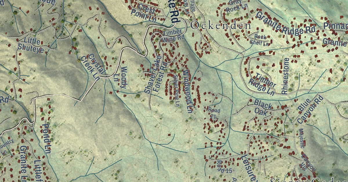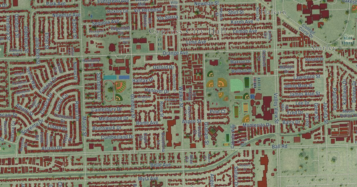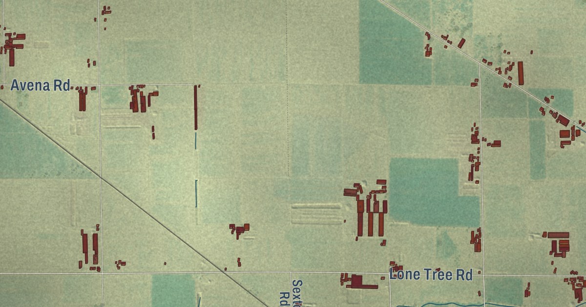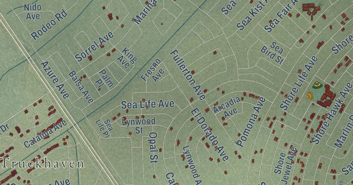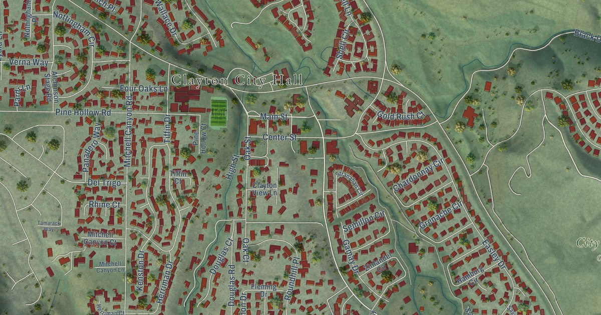
This beautifully detailed map of Clayton, California was created in 2026 using aerial imagery combined with modern topographical, census, street and landmark data. It’s a one-of-a-kind view of Clayton that combines accurate data with a vintage aesthetic. The map shows every building in its true location, many of the roads carry their names, and the shaded topographic relief shows the shape of the land.
Explore an aerial view of Clayton, California
On the map you’ll find Clayton City Hall and City of Clayton Open Space, along with Marsh Creek Road, Main Street, El Portal Drive, Oakhurst Drive, Southbrook Drive, Center Street, North Lydia Lane, Clayton Road, Keller Ridge Drive, Eagle Peak Avenue, and more. If you look closely you can even find your house accurately drawn in its correct location. Zoom in on the preview to look for yours.
Did you know this piece of Clayton, California history?
From the Historical Marker Database: "In 1857 Clayton was founded by Joel Clayton, a miner, farmer, and wagonmaster from England."
Take a closer look at the Clayton map
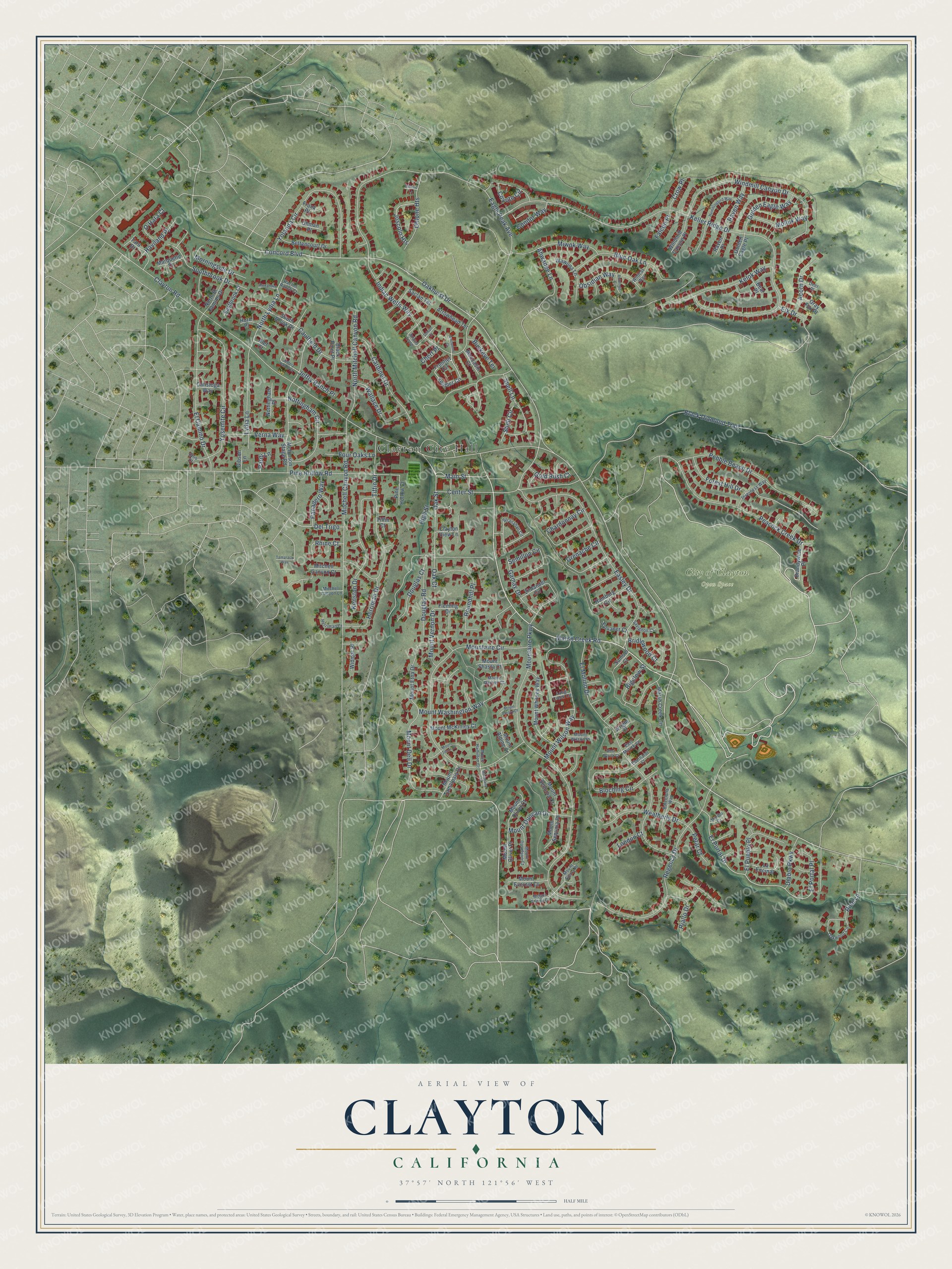
Street and place names on the Clayton, California map
These names are printed on the map of Clayton, California.
Places: Clayton City Hall and City of Clayton Open Space.
Streets and roads: Marsh Creek Road, Main Street, El Portal Drive, Oakhurst Drive, Southbrook Drive, Center Street, North Lydia Lane, Clayton Road, Keller Ridge Drive, Eagle Peak Avenue, Mountaire Parkway, Black Diamond Trail.
More street names, A to Z
Acorn Drive, Ahwanee Lane, Alef Court, Alexander Place, Anizumne Court, Antelope Court, Arrowhead Terrace, Atchinson Stage Road, Barcelona Way, Bear Place, Bettencourt Drive, Bigelow Street, Black Point Place, Bloching Circle, Blue Oak Lane, Brandywine Place, Bridlewood Court, Buckeye Terrace, Calistoga Way, Cardinet Drive, Caulfield Drive, Chardonnay Circle, Chert Place, Clayton View Lane, Concord Boulevard, Condor Way, Coyote Circle, Crow Place, Deer Place, Del Trigo, Diablo Parkway, Douglas Court, Douglas Road, Easley Drive, Eastbrook Court, East Myrick Court, Eberhardt Court, El Camino Drive, Elk Drive, El Molino Drive, El Portal Place, El Pueblo Place, Falcon Place, Feather Circle, Fleming Drive, Forest Hill Drive, Four Oaks Lane, Frank Place, Frontier Circle, Gamay Drive, Gibson Lane, Golden Eagle Place, Golden Eagle Way, Gold Rush Court, Gray Fox Place, Grenache Circle, Hamburg Circle, Haviland Place, Herriman Court, Herriman Drive, High Street, Hummingbird Way, Hurd Place, Indian Wells Way, Inverness Way, Jeffery Ranch Court, Jeffry Ranch Place, Joscolo Heights, Julpun Loop, Kelok Way, Kenston Drive, La Encinal, London Court, Long Creek Circle, Lydia Lane, Malibu Court, Marquette Court, Marsh Creek Circle, Mitchell Canyon Court, Mitchell Canyon Lane, Mitchell Canyon Road, Miwok Way, Moccasin Court, Molluk Way, Morningside Drive, Mountaire Circle, Mountaire Place, Mount Alpine Court, Mount Davidson Court, Mount Dell Drive, Mount Duncan Drive, Mount Emory Court, Mount Etna Drive, Mount Everest Court, Mount Hamilton Court, Mount McKinley Court, Mount Olivet Court, Mount Olivet Place, Mount Rainier Court, Mount Sequoia Court, Mount Sequoia Place, Mount Shasta Court, Mount Sierra Place, Mount Tamalpais Drive, Mount Teton Court, Mount Trinity Court, Mount Vernon Drive, Mount Washington Way, Mount Whitney Way, Mount Wilson Place, Mount Wilson Way, North El Camino Drive, North Mitchell Canyon Road, Nottingham Circle, Nottingham Place, O'Hara Court, Oak Court, Oak Street, Oakwood Circle, Obsidian Way, Ohio Court, Ohlone Heights, Ohlone Lane, Ohman Place, Panadero Way, Pardi Lane, Peacock Creek Drive, Pebble Beach Drive, Petar Court, Pine Hollow Court, Pine Hollow Road, Pine Lane, Rachel Ranch Court, Raven Place, Raven Way, Regency Drive, Rhine Court, Rialto Drive, Roundhill Place, Saclan Terrace, Samuel Court, Savignon Court, Semillon Circle, Shell Circle, Shell Lane, South Brook Drive, Stranahan Circle, Suisun Court, Sylvaner Court, Tamarack Way, Tara Drive, Tiffin Court, Tiffin Drive, Verna Way, Wallace Drive, Wawona Lane, Weatherly Drive, West Myrick Court, Widmar Place, Wildcat Way, Windmill Canyon Drive, Windmill Canyon Place, Wright Court, Yolanda Circle, Yosemite Circle, Zinfandel Circle.
See the Clayton, California map on a wall
The Clayton map as an 18 x 24 inch print in a black frame.

This beautifully detailed map of Clayton makes an attractive addition to your office, library, or den, and it can even be used to teach children the geography and history of the area. It also makes a great gift for someone who left Clayton and still calls it home. When you’re done exploring, click here to get your copy of the Clayton map.