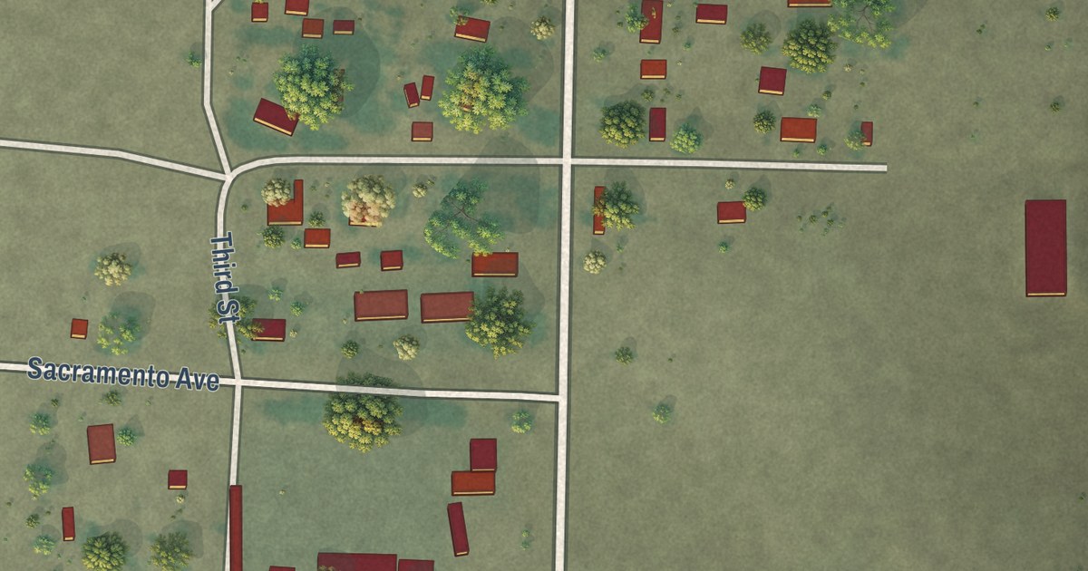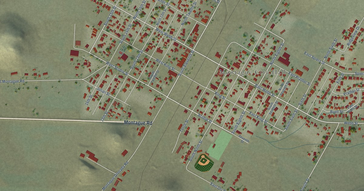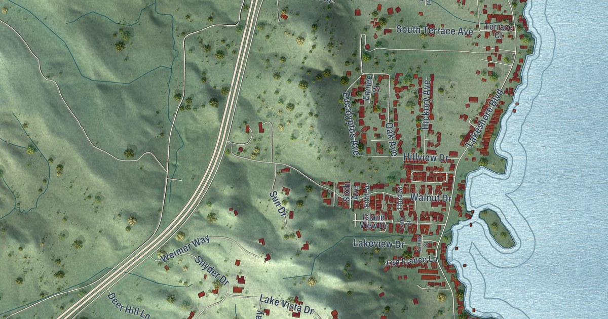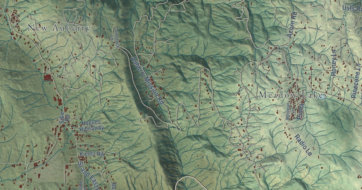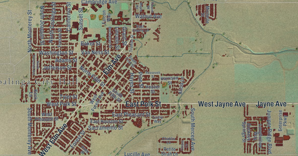
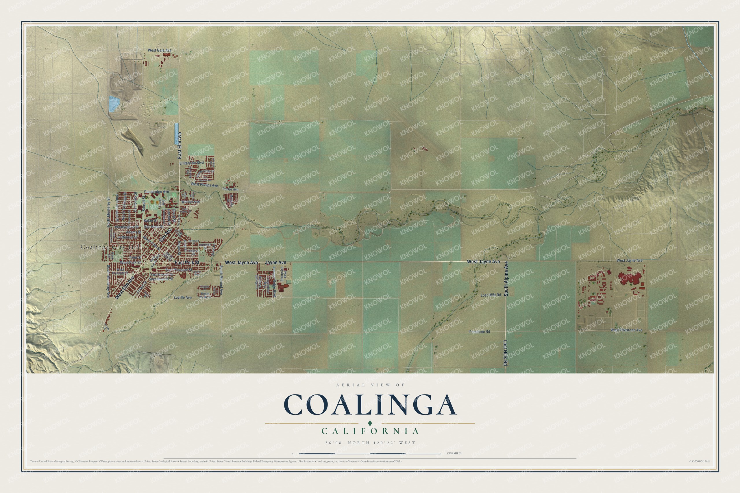
This beautifully detailed map of Coalinga, California was created in 2026 using aerial imagery combined with modern topographical, census, street and landmark data. It’s a one-of-a-kind view of Coalinga that combines accurate data with a vintage aesthetic. The map shows every building in its true location, many of the roads carry their names, and the shaded topographic relief shows the shape of the land.
Explore an aerial view of Coalinga, California
On the map you’ll find Coalinga City Hall, along with Elm Avenue, South Alpine Avenue, West Jayne Avenue, East Elm Avenue, West Elm Avenue, East Polk Street, Lost Hills Road, Jayne Avenue, North Monterey Street, South Monterey Avenue, Washington Street, and more. If you look closely you can even find your house accurately drawn in its correct location. Zoom in on the preview to look for yours.
Did you know this piece of Coalinga, California history?
From the National Park Service: "The first structure planned in 1907 was to be called the Polk Street School and be located in the east side of the Coalinga city limits."
Take a closer look at the Coalinga map
Street and place names on the Coalinga, California map
These names are printed on the map of Coalinga, California.
Places: Coalinga City Hall.
Streets and roads: Elm Avenue, East Elm Avenue, West Elm Avenue, South Alpine Avenue, West Jayne Avenue, East Polk Street, Lost Hills Road, Jayne Avenue, South Monterey Avenue, North Monterey Street, Washington Street, Van Ness Street.
More street names, A to Z
Adams Street, Alcalde Road, Alicia Lane, Baker Street, Buchanan Street, Buckeye Springs Street, Buena Vista Drive, California Street, Cambridge Avenue, Chablis Lane, Chianti Circle, East Cherry Lane, East Houston Street, East Pleasant Street, El Rancho Boulevard, Enterprise Parkway, Falcon Way, Firestone Road, Folsom Road, Forest Street, Fresno Street, Grant Street, Harrison Street, Hayes Street, Hoover Street, Jefferson Street, Juniper Ridge Boulevard, Keck Lane, Lincoln Street, Longhollow Way, Lucille Avenue, Maple Road, Michelle Street, North Coalinga Street, North Fifth Street, North Joaquin Street, North Princeton Avenue, Petite Sirah Lane, Phelps Avenue, Pine Street, Pinto Street, Roosevelt Street, Sacramento Street, San Madele Avenue, San Pablo Drive, South Fifth Street, South First Street, South Merced Avenue, Sunset Street, Tache Way, Truman Street, Tyler Street, Via Robles Drive, Walnut Avenue, West Firestone Avenue, West Forest Avenue, West Gale Avenue, West Phelps Avenue, West Pleasant Street, West Polk Street.
See the Coalinga, California map on a wall
The Coalinga map as an 18 x 24 inch print in a black frame.

This beautifully detailed map of Coalinga makes an attractive addition to your office, library, or den, and it can even be used to teach children the geography and history of the area. It also makes a great gift for someone who left Coalinga and still calls it home. When you’re done exploring, click here to get your copy of the Coalinga map.