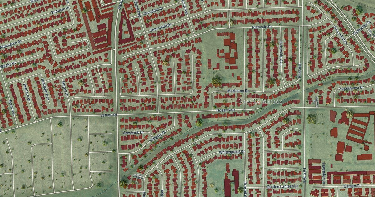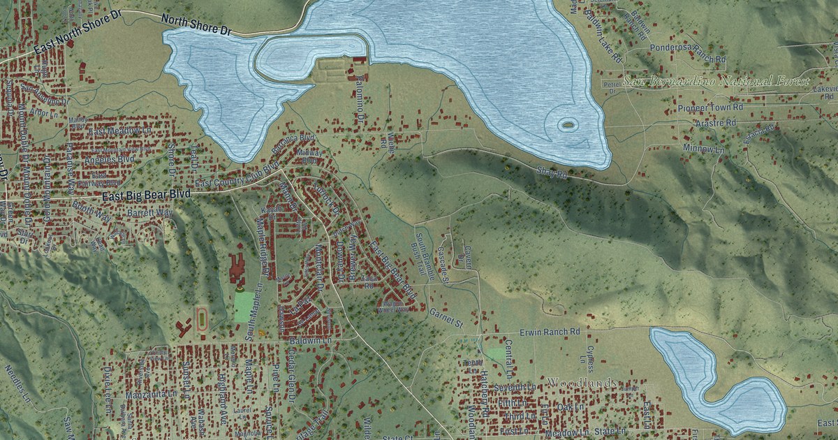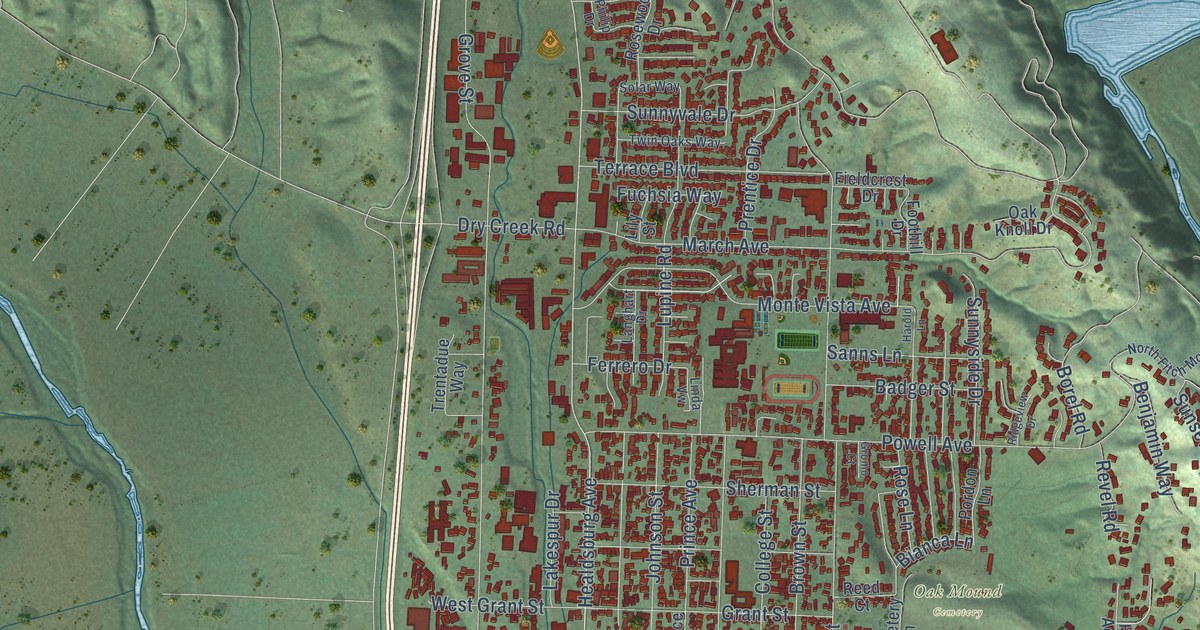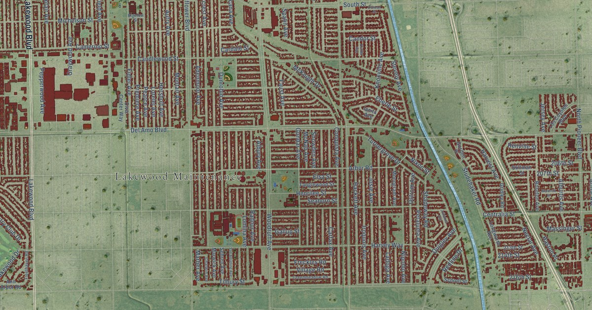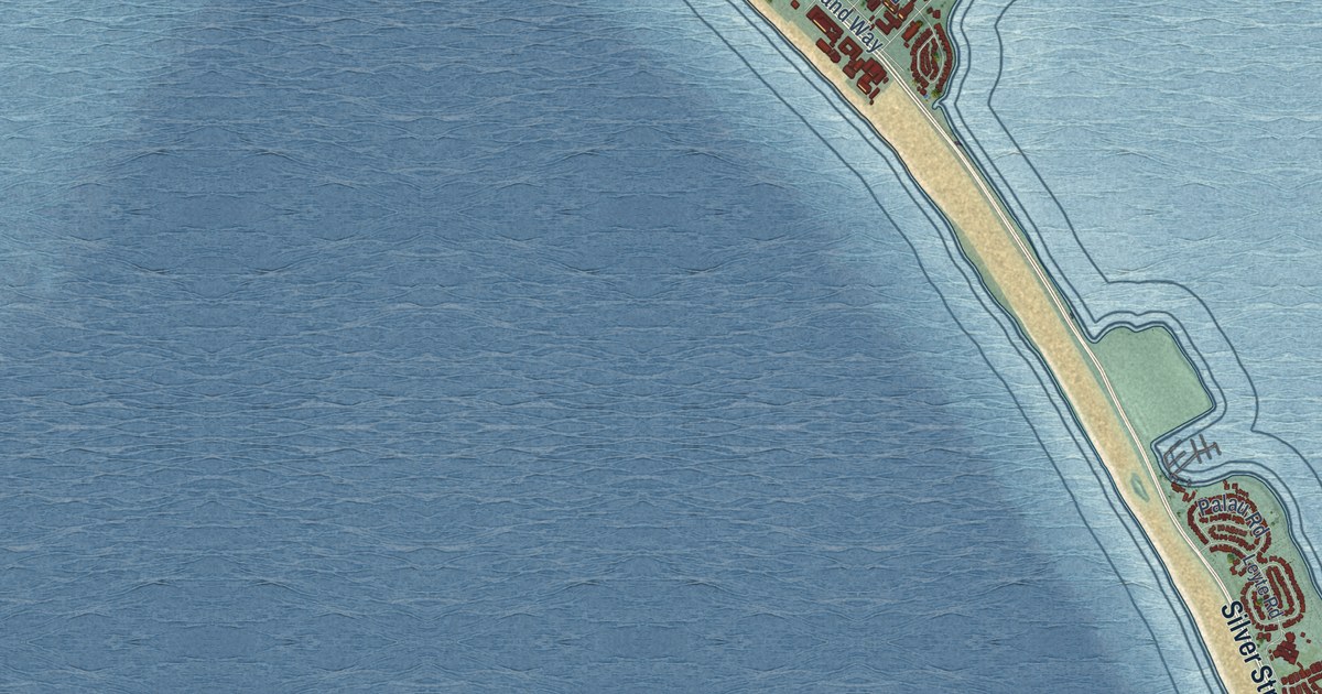
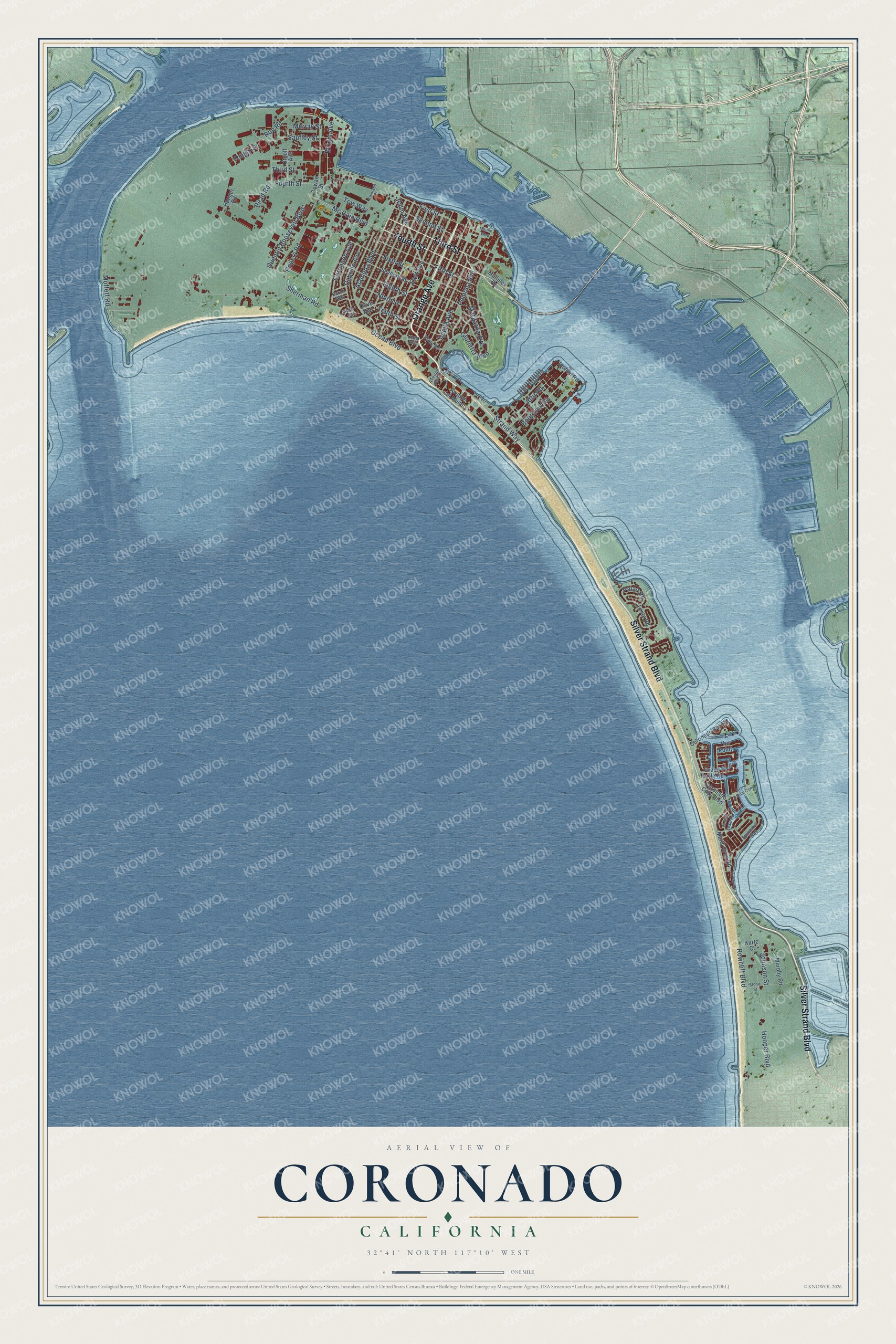
This beautifully detailed map of Coronado, California was created in 2026 using aerial imagery combined with modern topographical, census, street and landmark data. It's a modern aerial view of Coronado in San Diego County, California, that combines modern data with a vintage aesthetic. The roads feature printed names, and if you look closely you can find your exact house accurately shown in its correct location.
Explore an aerial view of Coronado, California
On this map you'll find Third Street, Silver Strand Boulevard, Orange Avenue, Fourth Street, Mc Cain Boulevard, Quentin Roosevelt Boulevard, Ocean Boulevard, Wright Avenue, Roe Road, Coronado Avenue, Second Street, Bougainville, and more. Each red shape is a building, so zoom in on the preview and look for yours.
Coronado has a story worth telling. The record at ohp.parks.ca.gov puts it this way: "The flat lands beyond have been a part of aviation history since Glenn Curtiss founded the first military flying school in America here on January 17, 1911."
Coronado is a city in San Diego County. The Census Bureau counted 20,192 people here in 2020.
Take a closer look at the Coronado map
Names on this map
These names are printed on this map.
Streets and roads: Third Street, Silver Strand Boulevard, Orange Avenue, Fourth Street, Mc Cain Boulevard, Quentin Roosevelt Boulevard, Ocean Boulevard, Wright Avenue, Roe Road, Coronado Avenue, Second Street, Bougainville.
More street names, A to Z
Adella Avenue, Alameda Boulevard, Attu Road, Avenue del Mundo, Avenue del Sol, Cabrillo Avenue, Carob Way, Colorado Street, Coronado Bay Road, Coronado Cays Boulevard, East Avenue, Eighth Street, Fifth Street, First Street, Glorietta Boulevard, Gowan Street, Grand Caribe Causeway, Green Turtle Road, Hanger Road, Hooper Boulevard, Inchon Road, Johnson Street, Kurtz Court, Leyte Road, Loma Avenue, Mardi Gras Road, Margarita Avenue, Marine Way, Moffett Road, Mullinex Drive, Murphy Road, Murray Street, Ninth Street, Olive Avenue, Palau Road, Palm Avenue, Pine Street, Pomona Avenue, Port of Spain Road, Read Road, Rogers Road, Rowcliff Boulevard, Saufley Street, Seventh Street, Sherman Road, Sixth Street, Spinnaker Way, Stone Street, Strand Way, Tenth Street, The Point, Tow Way, Tunapuna Lane, Utgoff Avenue, Vought Street, Ynez Place.
Created by KNOWOL in 2026. The buildings are small red shapes, the roads carry their printed names, and shaded relief shows the shape of the land. The title panel reads "AERIAL VIEW OF CORONADO CALIFORNIA" with 32°41' NORTH 117°10' WEST.
It looks right in a kitchen, an office or a den, and it's a gift for anyone who grew up in Coronado or moved away. Open the preview and find your street. See sizes and frames for the Coronado map.