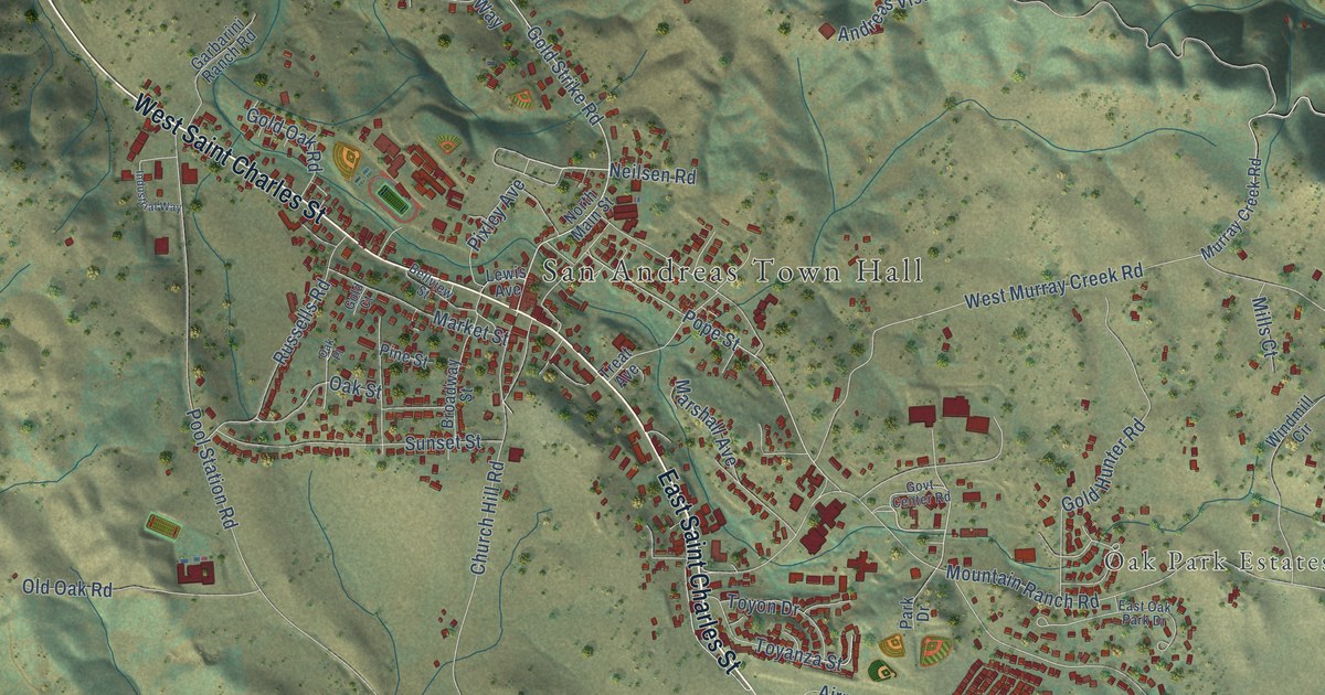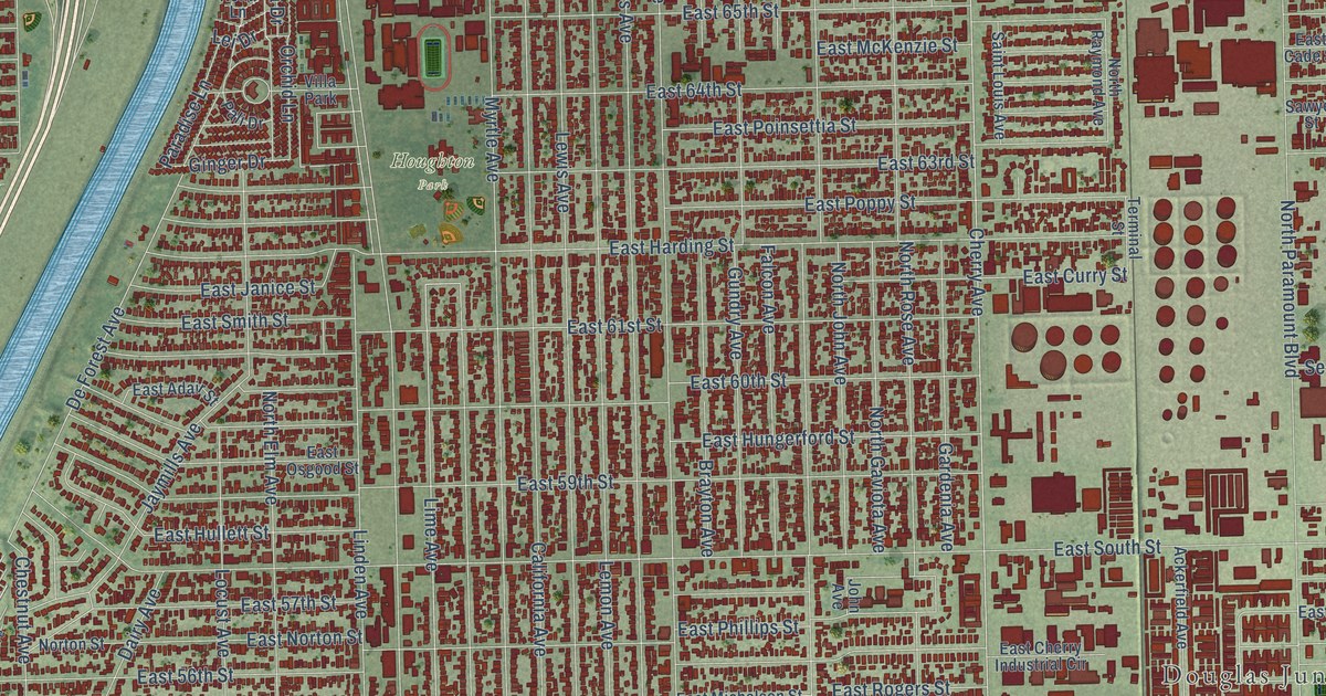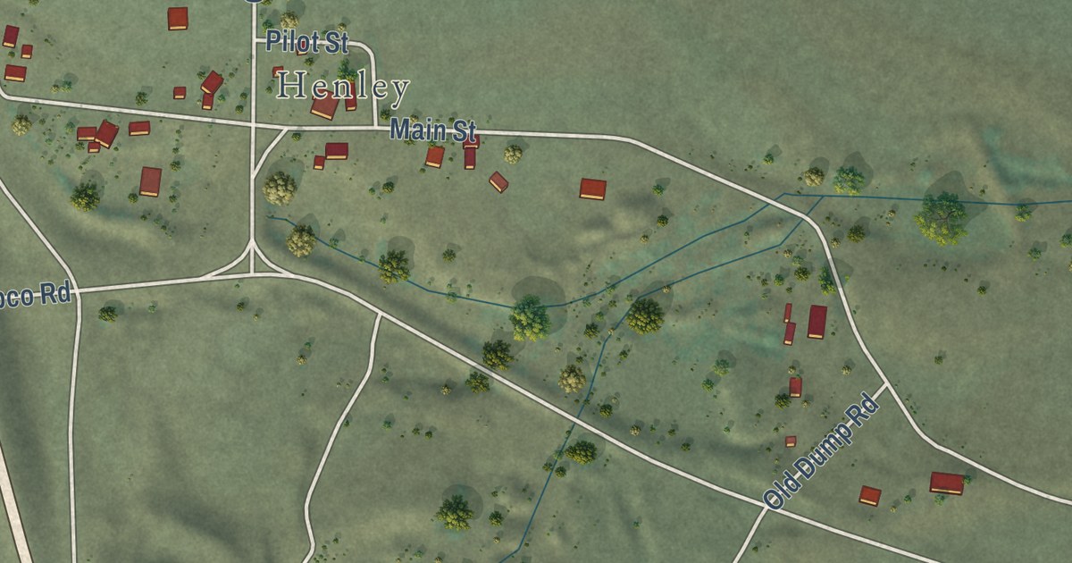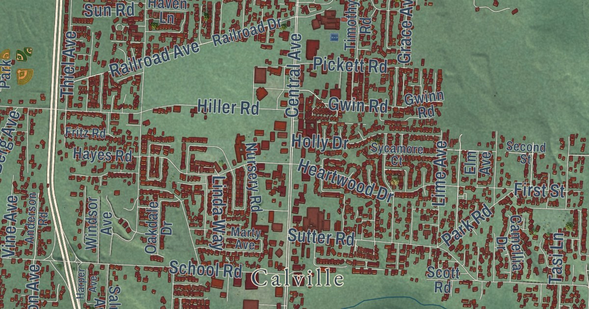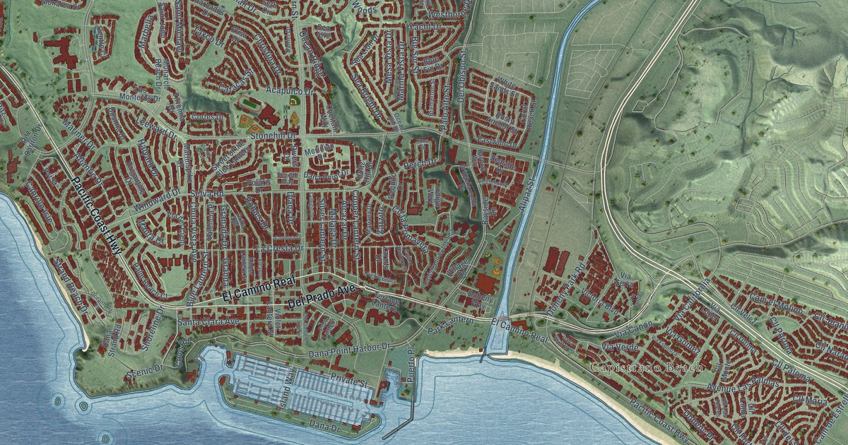
This beautifully detailed map of Dana Point, California was created in 2026 using aerial imagery combined with modern topographical, census, street and landmark data. It’s a one-of-a-kind view of Dana Point that combines accurate data with a vintage aesthetic. The map shows every building in its true location, many of the roads carry their names, and the shaded topographic relief shows the shape of the land.
Explore an aerial view of Dana Point, California
On the map you’ll find Capistrano Beach, Three Arch Bay, El Camino Real, Cll Paloma, Cll Juanita, and Cll Fortuna, along with Pacific Coast Highway, Del Prado Avenue, Selva Road, Monarch Bay Drive, Windward Drive, Golden Lantern Street, and more. If you look closely you can even find your house accurately drawn in its correct location. Zoom in on the preview to look for yours.
Did you know this piece of Dana Point, California history?
From the Dana Point Historical Society: "In the early 1920s attempts were first made to make Dana Point a place to live or for weekend getaways, but not until 1927 did a full-size plan take place. It was a follow-up to the successful Los Angeles development of Hollywoodland, a 500-acre project."
Take a closer look at the Dana Point map
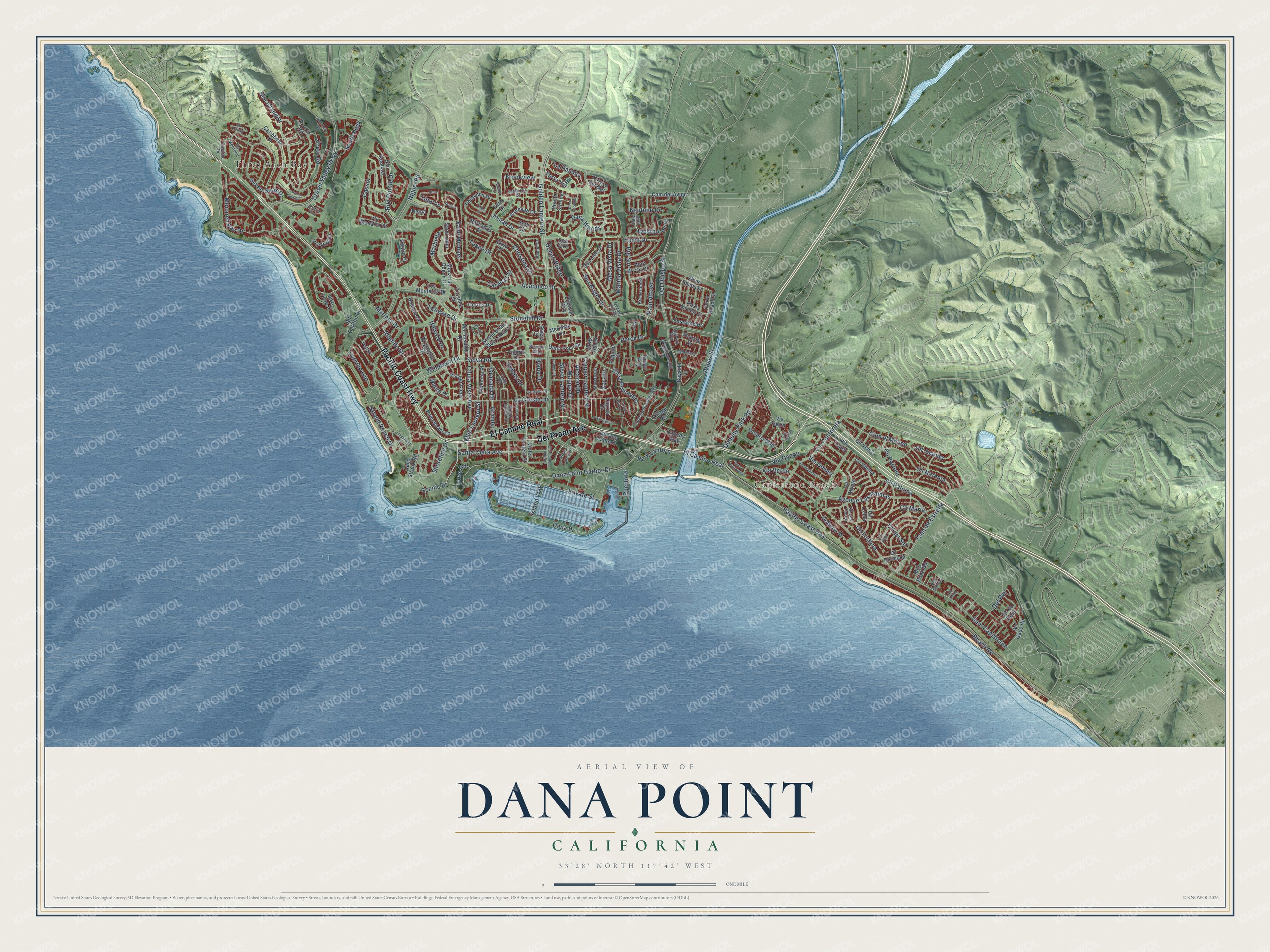
Street and place names on the Dana Point, California map
These names are printed on the map of Dana Point, California.
Places: Capistrano Beach and Three Arch Bay.
Streets and roads: Pacific Coast Highway, El Camino Real, Del Prado Avenue, Selva Road, Monarch Bay Drive, Windward Drive, Cll Paloma, Cll Juanita, Cll Fortuna, Golden Lantern Street, Stonehill Drive, Del Obispo Street.
More street names, A to Z
Acapulco Drive, Alcazar Drive, Alipaz Street, Amber Lantern Street, Atlantic Drive, Atlantis Way, Atun, Avenue Las Palmas, Azores Road, Barbados Drive, Bayport Way, Bayside Lane, Beach Road, Big Sur Street, Blue Fin Drive, Blue Lantern Street, Bluff Side, Bremerton Street, Bridgehampton Drive, Brigantine Drive, Brookview, Cabrillo Isle, Cam Capistrano, Cam de Estrella, Cam del Avion, Cam el Molino, Capistrano by the Sea, Caracas Street, Caribbean Drive, Caspian Sea Drive, Cassis, Centre Court, Cheltam Way, Christina Drive, Chula Vista Avenue, Cll Anejo, Cll del Sol, Cll Hermosa, Cll la Primavera, Cll Las Flores, Cll Loma, Cll Maria, Cll Monte, Cll Naranja, Cll Portola, Cll Real, Cll Ultima, Cll Velez, Colegio Drive, Copper Lantern Street, Coral Reach Street, Cordova Drive, Cortes Drive, Cove Road, Crete Road, Crown Valley Parkway, Crystal Lantern Street, Dana Bluff West, Dana Drive, Dana Point Drive, Dana Point Harbor Drive, Dana Sequoia, Dana Strand Road, Dana Woods, Daniel Drive, Del Gado Road, Del Rey, Diana Drive, Divers Court, Doheny Park Road, Doheny Place, Doheny Way, Dosinia Drive, Eastline Drive, Eastwind Drive, Elcanto, Elisa Drive, Granada Drive, Granda, Halyard Drive, Highcrest Road, Holtz Hill Drive, Indigo Way, Island Way, Jeremiah Drive, Josiah Drive, La Cresta Drive, La Paloma, Leah Drive, Leeward Drive, Lighthouse Drive, Los Monteros Drive, Malaga Drive, Manta Court, Marbella, Mariana Drive, Marina Vista Drive, Mariner Drive, Marlinspike Drive, Meridian Drive, Mesa Vista Drive, Mill Pond Road, Monarch Beach Drive, Neptune Drive, Niguel Road, Oceanfront Lane, Ocean Hill Drive, Ocean Ridge, Old Golden Lantern, Orilla Road, Palm Beach Court, Palo Alto Street, Park Lantern, Pequito Drive, Perch Drive, Philemon Drive, Pointe Stirling, Polaris Drive, Port Lantern, Private Street, Pso Pinzon, Puerto Place, Pvt Street, Rachel Circle, Regina, Reina, Ritz Carlton Drive, Ritz Cove Drive, Ritz Pointe Drive, Robles Drive, Rusty Anchor Street, Saint John, Saint Michael, San Raphael, Santa Clara Avenue, Scenic Drive, Sea Aire, Sea Bright Drive, Seabrook Drive, Seacall Way, Sea Island Drive, Sea Lion Drive, Seaside Drive, Seth Circle, Seven Seas Drive, Shoreline Drive, Silver Lantern Street, South Peak, Strand Beach Drive, Street of the Blue Lantern, Taxco Drive, Terrace Lantern, Terra Vis, Terraza del Mar, Tiburon, Tirremia Drive, Titus Drive, Tuna Drive, Valencia Place, Via California, Via Canon, Via Corona, Via Corsica, Via de la Lux, Via del Cielo, Via Elevado, Via Espinoza, Via Gomez, Via Lopez, Via Mentone, Via Monarca Street, Via Orvieto, Via Serra, Via Verde, Victoria Boulevard, Village Road, Violet Lantern Street, Vis de Dons, Westborne Drive, White Sands Street, Yacht Drive, Zarzito, Zarzito Drive.
See the Dana Point, California map on a wall
The Dana Point map as an 18 x 24 inch print in a black frame.

This beautifully detailed map of Dana Point makes an attractive addition to your office, library, or den, and it can even be used to teach children the geography and history of the area. It also makes a great gift for anyone who grew up in Dana Point or moved away. When you’re done exploring, click here to get your copy of the Dana Point map.