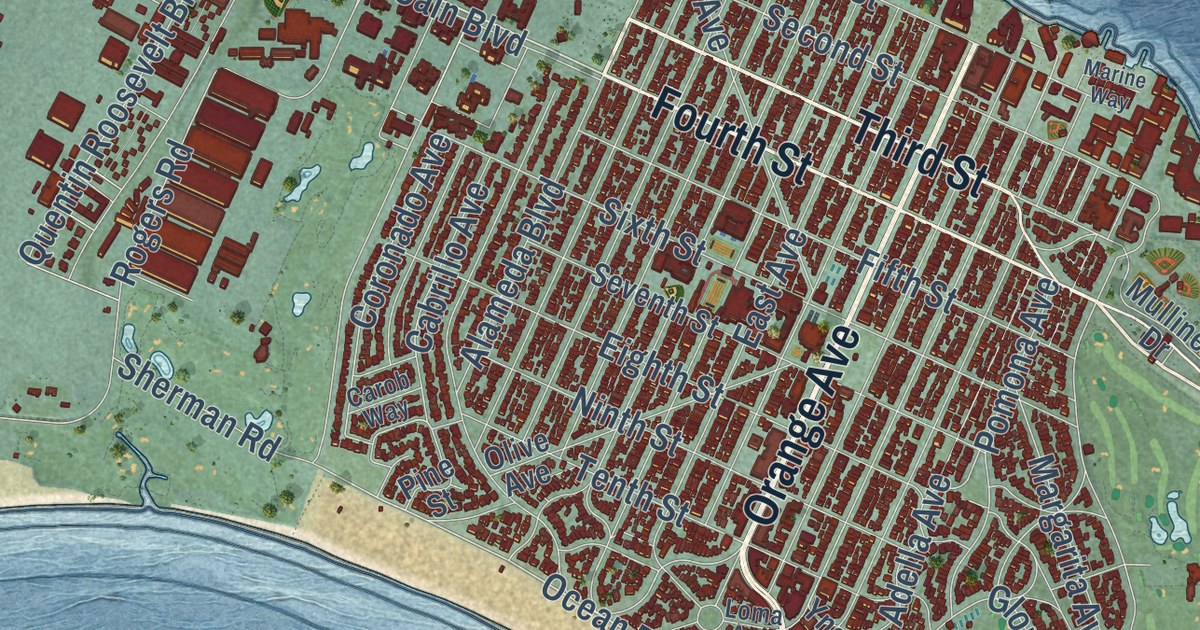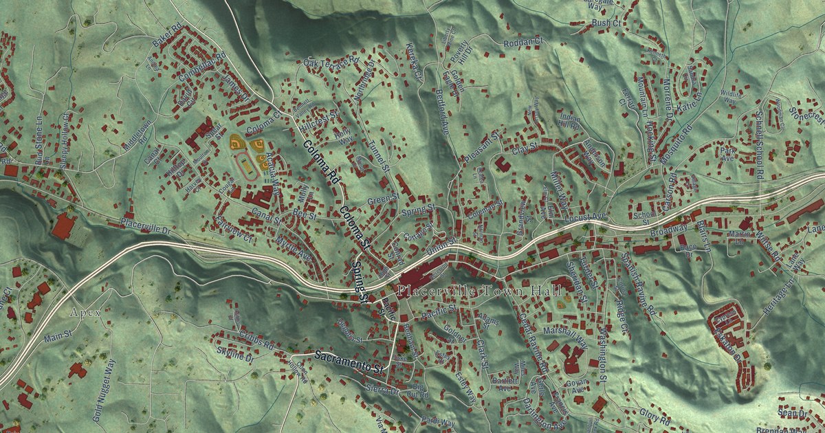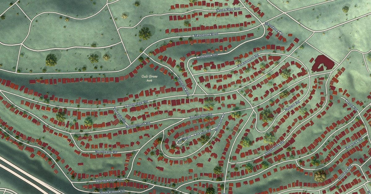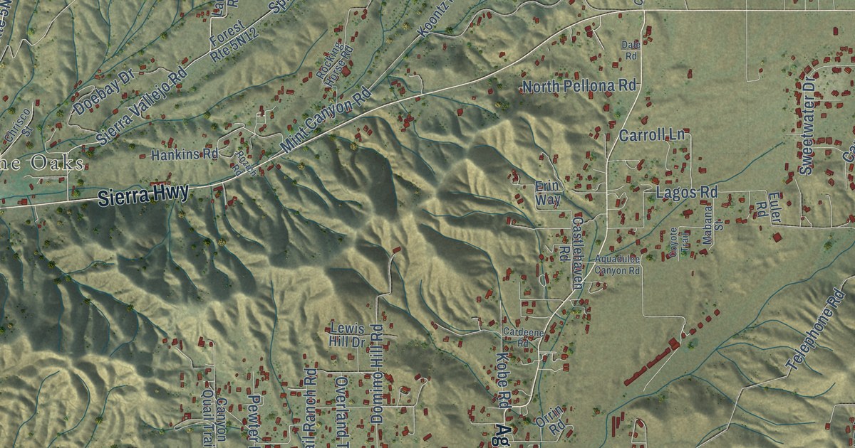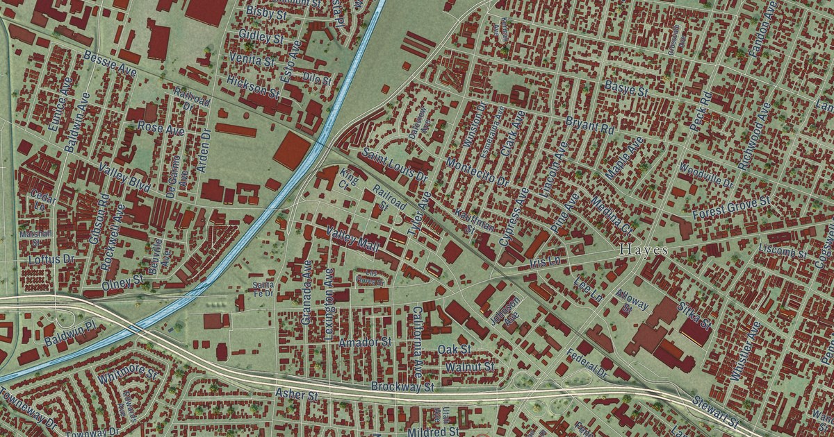
This beautifully detailed map of El Monte, California was created in 2026 using aerial imagery combined with modern topographical, census, street and landmark data. It’s a one-of-a-kind view of El Monte that combines accurate data with a vintage aesthetic. The map shows every building in its true location, many of the roads carry their names, and the shaded topographic relief shows the shape of the land.
Explore an aerial view of El Monte, California
On the map you’ll find Maxson, Five Points, Hayes, Monte Vis, and Kings Row, along with Rosemead Boulevard, Santa Anita Avenue, Baldwin Avenue, Stonybrook Street, Lambert Avenue, Roseglen Street, Allgeyer Avenue, and more. If you look closely you can even find your house accurately drawn in its correct location. Zoom in on the preview to look for yours.
Did you know this piece of El Monte, California history?
From the California Office of Historic Preservation: "El Monte, on the bank of the San Gabriel River, played a significant part in California's early pioneer history. It was first an encampment on the Old Spanish Trail, an extension of the trail from Missouri to Santa Fe."
Take a closer look at the El Monte map
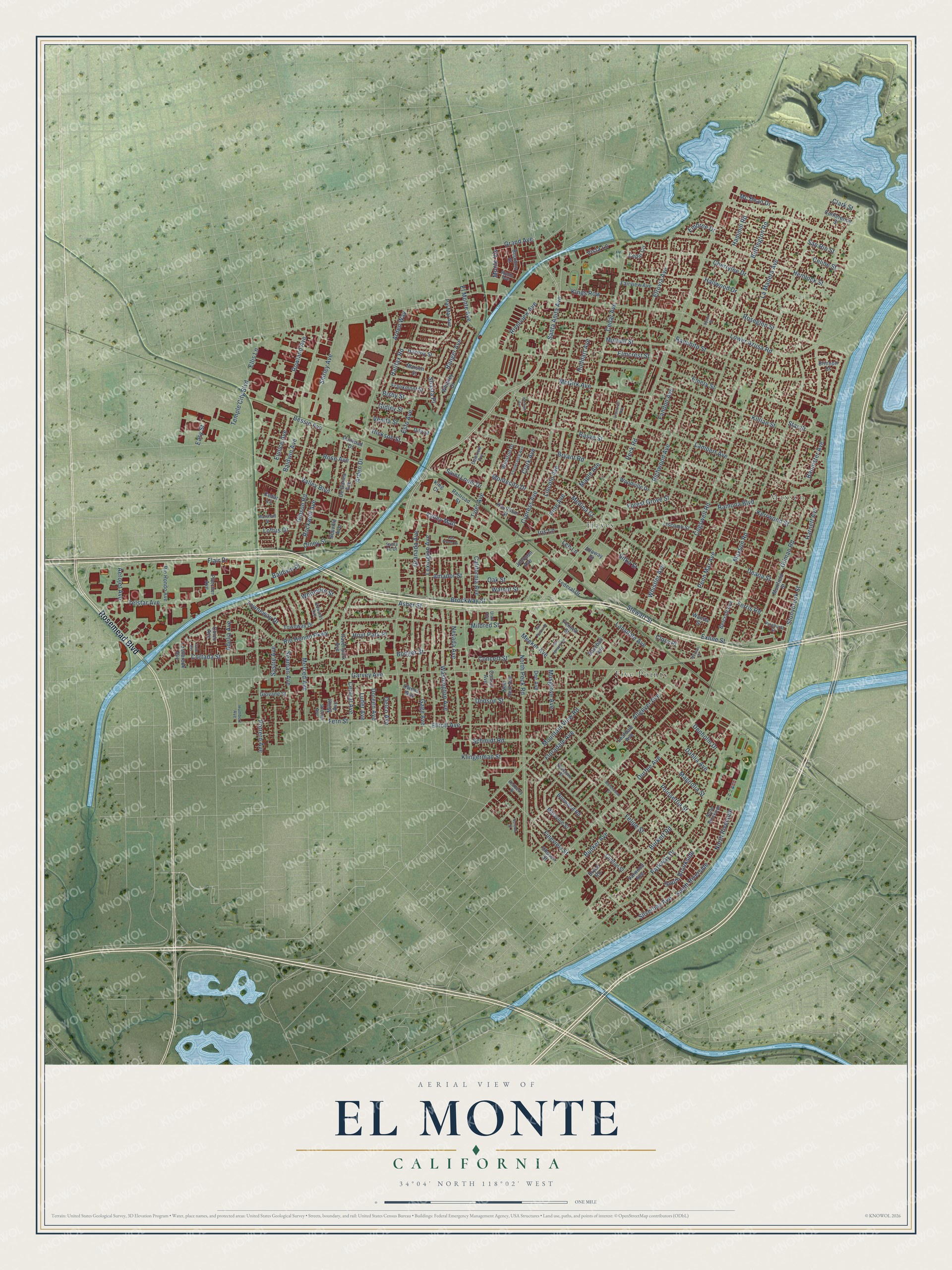
Street and place names on the El Monte, California map
These names are printed on the map of El Monte, California.
Places: Maxson, Five Points and Hayes.
Streets and roads: Rosemead Boulevard, Santa Anita Avenue, Baldwin Avenue, Stonybrook Street, Monte Vis, Lambert Avenue, Roseglen Street, Kings Row, Allgeyer Avenue, Bannister Avenue, South Riverside, Silverbay Avenue.
More street names, A to Z
Adelia Avenue, Aerojet Avenue, Alloway Street, Amador Street, Apollo Avenue, Arden Drive, Arden Way, Asher Street, Baldwin Place, Baseball Avenue, Basye Street, Belcroft Avenue, Bessie Avenue, Beuville Avenue, Bisby Street, Bodger Street, Bonwood Road, Bourbon Street, Brinnon Street, Brockway Street, Bryant Road, Bryce Road, Buffington Road, Bunker Avenue, Burkett Road, California Avenue, Cedar Avenue, Cedar Circle, Cedar Lane, Celine Street, Central Avenue, Cherrylee Drive, Chico Avenue, Chosen Street, Clark Avenue, Clark Street, Clinton Street, Clora Place, Cogswell Road, Concert Street, Conference Street, Consol Avenue, Cortada Street, Crossvale Avenue, Cypress Avenue, Dahlia Avenue, Daleview Avenue, Deana Street, Dee Avenue, De Garmo Avenue, Delco Avenue, Denholm Drive, Dilo Street, Dodson Street, Doreen Avenue, Durfee Avenue, Dyson Street, Easy Street, Edwards Avenue, Elliott Avenue, Ellis Lane, Elmcrest Street, El Monte Avenue, Elrovia Avenue, Embree Drive, Emery Street, Esmeralda Avenue, Esto Avenue, Eunice Avenue, Exline Street, Fairview Avenue, Fandon Avenue, Federal Drive, Felipe Street, Fennell Street, Fern Street, Ferris Road, Fineview Street, Flair Drive, Fletcher Avenue, Floradale Avenue, Forest Grove Street, Frankmont Street, Gage Avenue, Garvey Avenue, Gibson Road, Gidley Street, Gilman Road, Giovane Street, Granada Avenue, Grand Avenue, Halifax Road, Hallwood Drive, Hammill Road, Harnett Avenue, Havenpark Avenue, Haverly Street, Hemlock Street, Hickson Street, Hoyt Park Place, Huddart Avenue, Humbert Avenue, Iris Lane, Johnson Avenue, Kauffman Street, Kerman Avenue, Kerrwood Street, Killian Street, King Court, Klingerman Street, La Madera Avenue, Lansdale Avenue, Las Flores Drive, Lashbrook Avenue, Leafdale Avenue, Lee Lane, Lexington Avenue, Lincoln Avenue, Liscomb Street, Loftus Drive, Lower Azusa Road, Luder Avenue, Magnolia Street, Maple Avenue, Marsen Street, Marshall Street, Maryvine Street, Maxson Place, Maxson Road, Mc Bean Drive, McGirk Avenue, Medina Court, Meeker Avenue, Merced Avenue, Mildred Street, Millet Avenue, Montecito Drive, Morehouse Street, Mountain View Road, Muirfield Street, Mulhall Street, Musgrove Avenue, Nevada Avenue, New Deal Avenue, Norema Street, North Brookside, North Peck Road, North Riverside, Oak Street, Olney Street, Owens Way, Pal Mal Avenue, Parkway Drive, Peck Road, Penn Mar Avenue, Pine Avenue, Pinehurst Street, Poinsettia Street, Potrero Avenue, Railroad Drive, Railroad Street, Ramona Boulevard, Ranchito Street, Ranger Avenue, Redberry Street, Redstone Street, Richwood Avenue, Rio Hondo Avenue, Rio Hondo Parkway, Riverview Avenue, Rockwell Avenue, Rose Avenue, Rowland Avenue, Saint Louis Drive, San Ignacio Drive, San Pierre Drive, San Rio Street, Santa Fe Drive, Sastre Avenue, Schmidt Road, Seaman Avenue, Shasta Place, Shirley Avenue, Sitka Street, South Brookside, Star Street, Stewart Street, Strozier Avenue, Telstar Avenue, Temple City Boulevard, Towneway Drive, Townway Drive, Tyler Avenue, Utah Avenue, Valley Boulevard, Valley Mall, Valwood Avenue, Vane Avenue, Venita Street, Vista Lane, Walnut Street, Wanda Street, Washington Avenue, Whistler Avenue, Whitmore Street, Whitney Drive, Winston Drive, Woodville Drive.
See the El Monte, California map on a wall
The El Monte map as an 18 x 24 inch print in a black frame.

This beautifully detailed map of El Monte makes an attractive addition to your office, library, or den, and it can even be used to teach children the geography and history of the area. It also makes a great gift for anyone who grew up in El Monte or moved away. When you’re done exploring, click here to get your copy of the El Monte map.