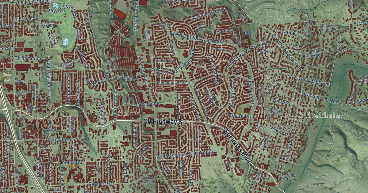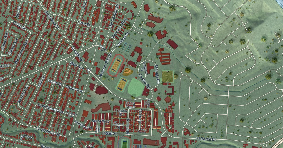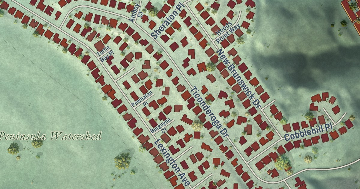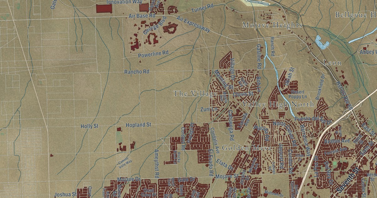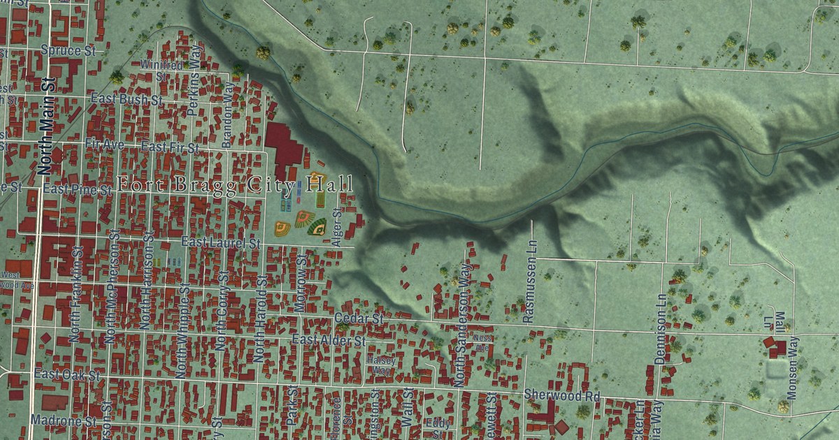
This beautifully detailed map of Fort Bragg, California was created in 2026 using aerial imagery combined with modern topographical, census, street and landmark data. It’s a one-of-a-kind view of Fort Bragg that combines accurate data with a vintage aesthetic. The map shows every building in its true location, many of the roads carry their names, and the shaded topographic relief shows the shape of the land.
Explore an aerial view of Fort Bragg, California
On the map you’ll find Fort Bragg City Hall and Noyo, along with South Main Street, Shoreline Highway, North Main Street, Noyo Point Road, East Oak Street, Cypress Street, Hocker Lane, Dennison Lane, Minnesota Avenue, Mackerricher State Park Road, and more. If you look closely you can even find your house accurately drawn in its correct location. Zoom in on the preview to look for yours.
Did you know this about Fort Bragg, California?
From the National Register of Historic Places: "The Weller House is now the oldest house in town and it still retains its pumphouse, brick lined well and carriage stop."
Take a closer look at the Fort Bragg map
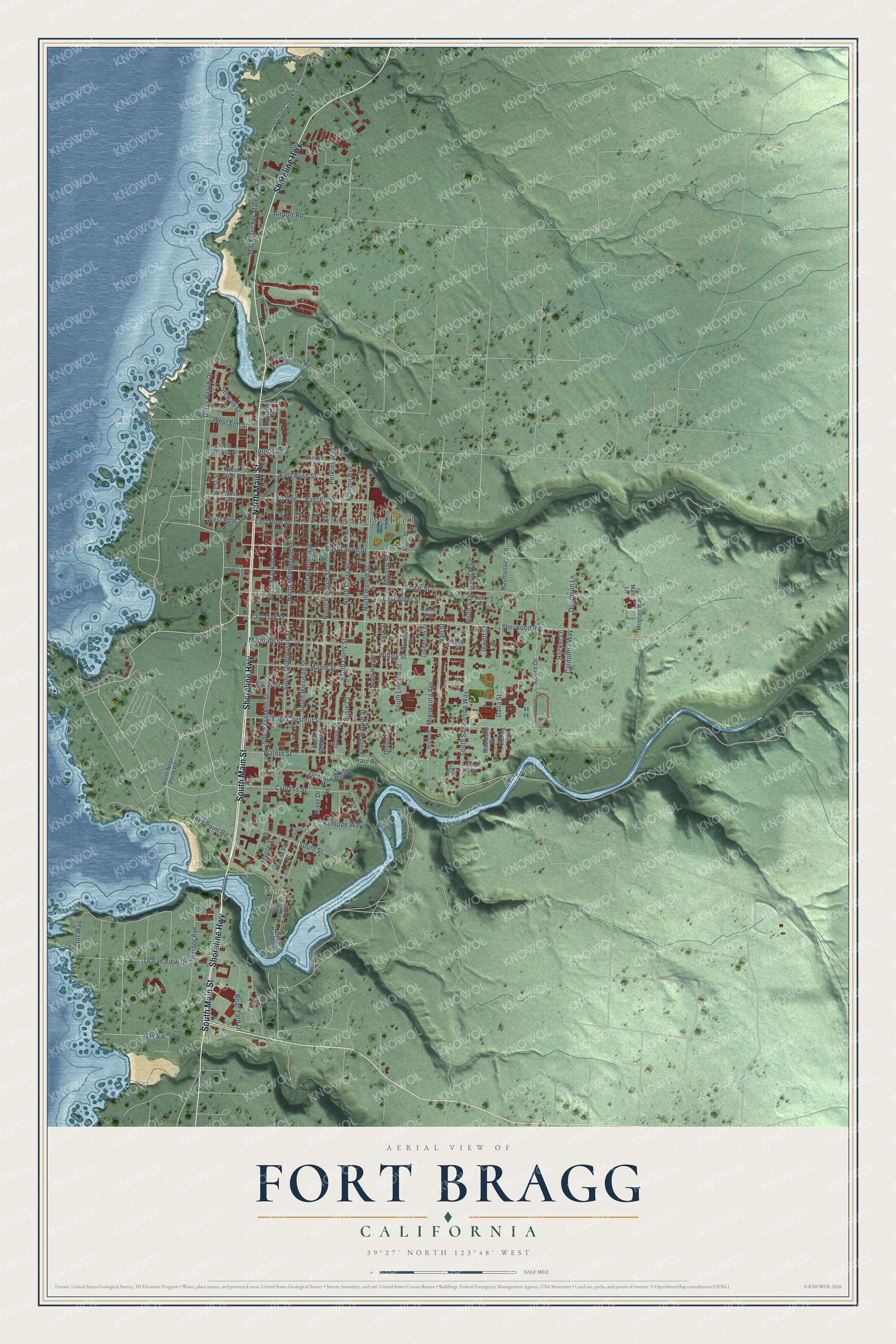
Street and place names on the Fort Bragg, California map
These names are printed on the map of Fort Bragg, California.
Places: Fort Bragg City Hall and Noyo.
Streets and roads: South Main Street, Shoreline Highway, North Main Street, Noyo Point Road, East Oak Street, Cypress Street, Hocker Lane, Dennison Lane, Minnesota Avenue, Mackerricher State Park Road, Harbor Avenue, Glass Beach Drive.
More street names, A to Z
Acorn Drive, Airport Road, Alger Street, Bay Vw, Boat Yard Drive, Brandon Way, California Way, Casa del Noyo, Cedar Street, Cliff Way, Dana Street, Del Mar Drive, East Alder Street, East Bush Street, East Chestnut Street, East Fir Street, East Laurel Street, East Pine Street, Ebbing Way, Eddy Street, Fir Avenue, Florence Street, Georgia-Pacific ---Haul Road, Grove Street, Halsey Way, Hazel Street, Holms Lane, Howland Court, Jewett Street, Kemppe Way, Livingston Street, Lonne Way, Madrone Street, Mall Lane, Maple Street, Minisota, Monsen Way, Morrow Street, Myrtle Street, Ness Avenue, North Corry Street, North Franklin Street, North Harbor Drive, North Harold Street, North Harrison Street, North McPherson Street, North Noyo Point Road, North Sanderson Way, North Whipple Street, Noyo Heights, Ocean View Drive, Olson Lane, Park Street, Perkins Way, Pudding Creek Road, Rasmussen Lane, River Drive, Sequoia Circle, Sherwood Road, South Corry Street, South Franklin Street, South Harold, South Harold Street, South Harrison Street, South Lincoln Street, South McPherson Street, South Sanderson Way, South Street, South Whipple Street, Spruce Street, Stewart Street, Susie Court, Virgin Creek Lane, Wall Street, Walnut Street, West Bush Street, West Elm Street, West Fir Street, West Pine Street, West Redwood Avenue, West Spruce Street, West Street, Willow Street, Winifred Street, Woodland Drive, Woodward Street.
See the Fort Bragg, California map on a wall
The Fort Bragg map as an 18 x 24 inch print in a black frame.

This beautifully detailed map of Fort Bragg makes an attractive addition to your office, library, or den, and it can even be used to teach children the geography and history of the area. It also makes a great gift for anyone with Fort Bragg roots. When you’re done exploring, click here to get your copy of the Fort Bragg map.