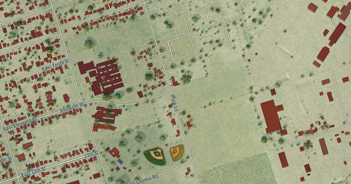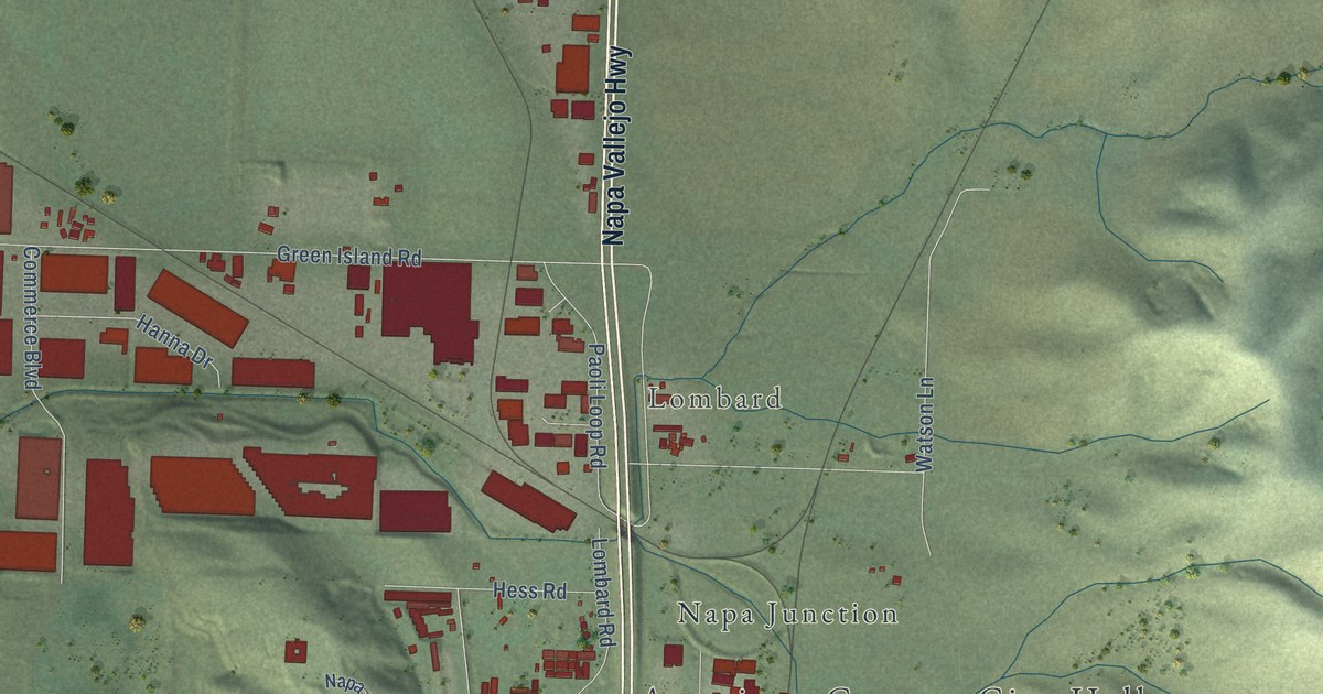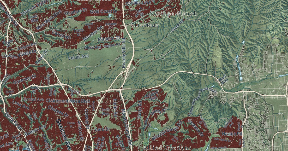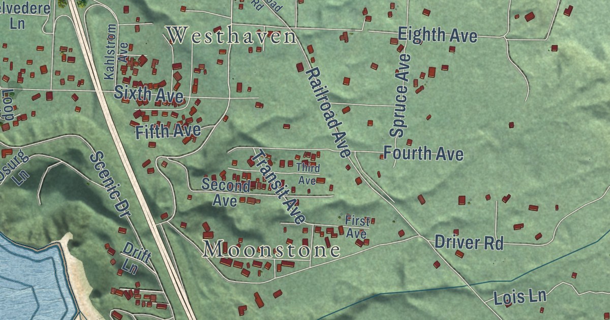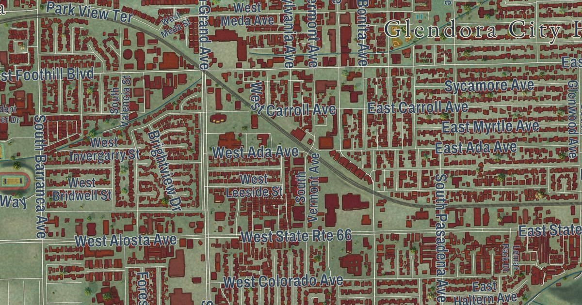
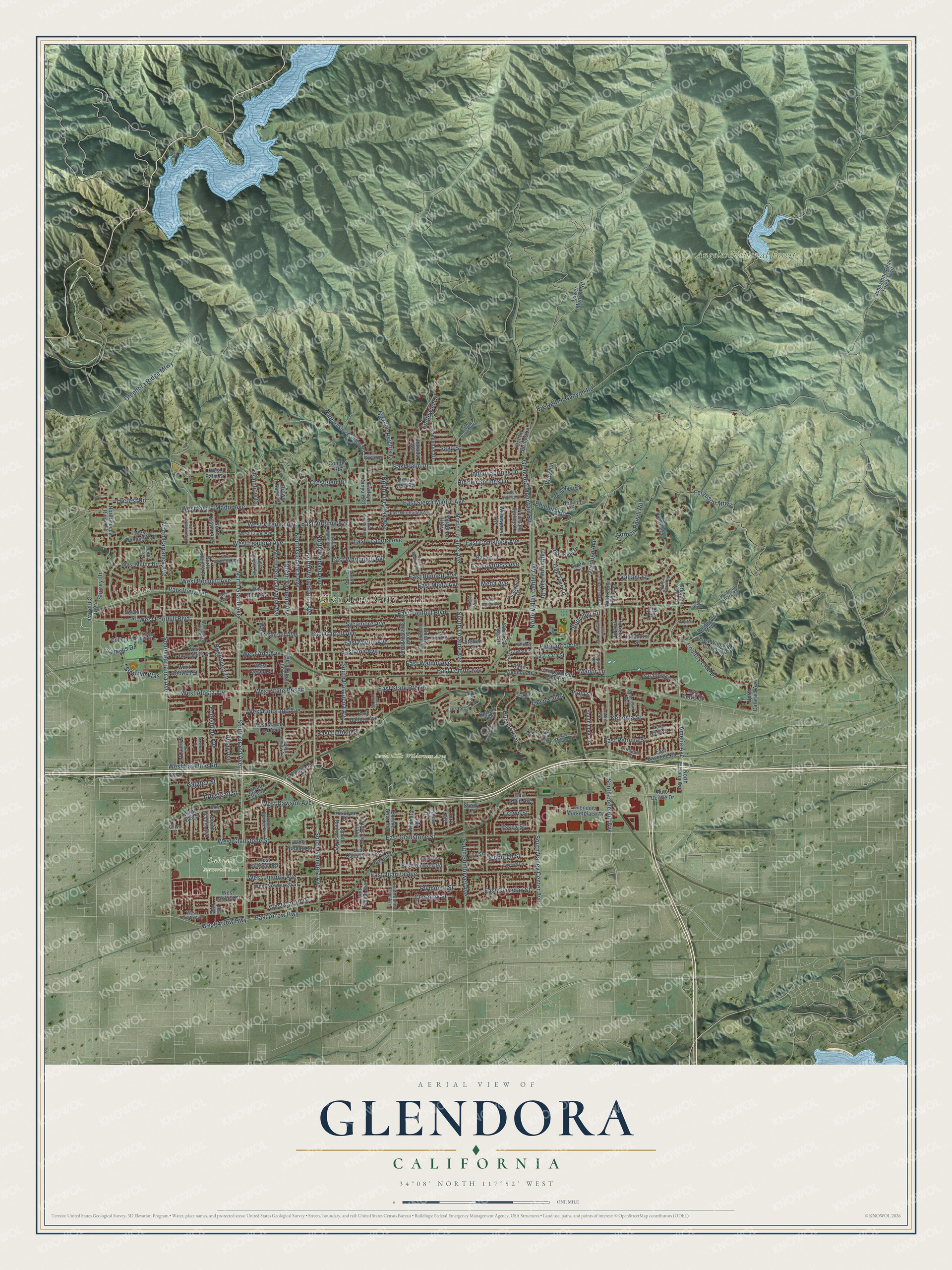
This beautifully detailed map of Glendora, California was created in 2026 using aerial imagery combined with modern topographical, census, street and landmark data. It’s a one-of-a-kind view of Glendora that combines accurate data with a vintage aesthetic. The map shows every building in its true location, many of the roads carry their names, and the shaded topographic relief shows the shape of the land.
Explore an aerial view of Glendora, California
On the map you’ll find Glendora City Hall, La Fetra, Angeles National Forest, Oakdale Memorial Park, South Hills Wilderness Area, and Glendora Country Club, along with South Grand Avenue, East Foothill Boulevard, South Glendora Avenue, North Grand Avenue, North Glendora Avenue, West Foothill Boulevard, and more. If you look closely you can even find your house accurately drawn in its correct location. Zoom in on the preview to look for yours.
Did you know this piece of Glendora, California history?
From An Illustrated History of Los Angeles County: "In the contest between the two rival towns for the depot building Glendora won; the projectors of Alosta were non-residents, while Glendora had an able and energetic managing head in the person of Mr. Whitcomb; the one was a real-estate speculation, the other was founded for a permanent and prosperous settlement."
Take a closer look at the Glendora map
Street and place names on the Glendora, California map
These names are printed on the map of Glendora, California.
Places: Glendora City Hall, La Fetra, Angeles National Forest, Oakdale Memorial Park and South Hills Wilderness Area.
Streets and roads: South Grand Avenue, East Foothill Boulevard, South Glendora Avenue, North Grand Avenue, South Barranca Avenue, North Glendora Avenue, West Foothill Boulevard, Amelia Avenue, North Vista Bonita Avenue, East Arrow Highway, West Juanita Avenue, East Juanita Avenue.
More street names, A to Z
Acorn Lane, Alford Street, Armstead Street, Auto Centre Drive, Baxter Drive, Big Dalton Canyon Road, Big Fir Lane, Bluebird Road, Bonnie Cove Avenue, Brightview Drive, Brown Sage Drive, Buffalo Trail, Campus Drive, Canyon Meadows Lane, Catherine Park Drive, Citrus Edge Street, Claraday Street, Colby Trail Mtwy, College Drive, Compromise Line Road, Conifer Road, Cordelia Avenue, Country Club Drive, Crescent Glen Drive, Crestglen Road, Crown Street, Dale Road, Dalton Springs Lane, Delay Avenue, Dike Street, Driftstone Drive, Easley Canyon Road, East Ada Avenue, East Allen Avenue, East Baseline Road, East Bennett Avenue, East Camden Street, East Carroll Avenue, East Claraday Street, East Comstock Avenue, East Curtis Court, East Cypress Avenue, East Dalton Avenue, East Duell Street, East Gladstone Street, East Haltern Avenue, East Lawford Street, East Leadora Avenue, East Lemon Avenue, East Linfield Street, East Meda Avenue, East Myrtle Avenue, East Northridge Avenue, East Palm Drive, East Payson Street, East Petunia Street, East Renwick Road, East Sierra Madre Avenue, East State Route 66, East Steffen Street, East Virginia Avenue, East Walnut Avenue, East Whitcomb Avenue, East Wildwood Canyon Drive, East Woodland Lane, East Zara Street, Elkhorn Lane, Englewild Drive, Entrada Way, Essex Street, Fawn Valley, Ferguson Mtwy, Forestdale Avenue, Fountain Springs Lane, Galatea Street, Ghent Street, Glencoe Heights Drive, Glendora Marketplace Drive, Glendora Mountain Road, Glendora Ridge Mtwy, Glengrove Avenue, Gordon Highlands Road, Gordon Ranch Road, Grand Oaks Drive, Hicrest Road, Hidden Springs Lane, Hollyhill Lane, Hunters Trail, Indian Bend, Indian Springs Drive, Inola Street, Ivy Street, Jedburgh Street, Johnstone Peak Truck Trail, Kenoma Street, Kirkwall Road, Kregmont Drive, La Serena Drive, Lemar Park Drive, Los Cerritos Road, Lower Monroe Road, Lyman Avenue, Manor Lane, Meda Avenue, Morgan Ranch Road, Mountain Lane, Newhill Street, North Amelia Avenue, North Barranca Avenue, North Bender Avenue, North Cataract Avenue, North Chaparral Drive, North Citrus Avenue, North Crestview Drive, North Cullen Avenue, North Easley Canyon Road, North Elwood Avenue, North Hacienda Avenue, North Live Oak Avenue, North Lone Hill Avenue, North Loraine Avenue, North Minnesota Avenue, North Oak Drive, North Pennsylvania Avenue, North Trayer Avenue, North Valencia Street, North Valley Center Avenue, North Vermont Avenue, North Wabash Avenue, North Wildwood Avenue, North Yucca Ridge Road, Oak Grove Drive, Oak Knoll Drive, Oak Park Road, Oak Tree Drive, Palopinto Avenue, Park View Terrace, Pebble Springs Lane, Pflueger Avenue, Pinehurst Street, Plymouth Street, Poppy Lane, Prima Vera Road, Puma Canyon Lane, Rainbow Drive, Renwick Road, Ronwood Street, Rosalynn Drive, Roundup Road, Saga Street, Saint Vladimir Street, Saratoga Lane, Shady Lane, Shorey Drive, Sierra Sky Drive, South Banna Avenue, South Bender Avenue, South Bonnie Cove Avenue, South Concord Lane, South Elwood Avenue, South Glenwood Avenue, South Hacienda Avenue, South Jenifer Avenue, South Lone Hill Avenue, South Lope Lane, South Loraine Avenue, South Pasadena Avenue, South Rimhurst Avenue, South San Jose Drive, South Sunflower Avenue, South Valencia Street, South Valley Center Avenue, South Vecino Avenue, South Vermont Avenue, Stadium Way, Starcrest Drive, Steffen Street, Stephora Avenue, Student Center Drive, Sycamore Avenue, Underhill Drive, Valcourt Lane, Valiant Street, Verdugo Avenue, West Ada Avenue, West Alosta Avenue, West Arrow Highway, West Baseline Road, West Bennett Avenue, West Bonita Avenue, West Bridwell Street, West Carroll Avenue, West Carter Drive, West Colorado Avenue, West Dawson Avenue, West Dike Street, West Donington Street, West Gladstone Street, West Invergarry Street, West Kirkwall Road, West Laurel Avenue, West Laxford Street, West Leadora Avenue, West Leeside Street, West Mauna Loa Avenue, West Meda Avenue, West Meda Street, West Milton Drive, West Newburgh Street, West Norgate Street, West Palm Drive, West Sierra Madre Avenue, West State Route 66, West Virginia Avenue, West Whitcomb Avenue, Wick Lane, Wildwood Mtwy, Wildwood Park Road, Willowgrove Avenue, York Avenue.
See the Glendora, California map on a wall
The Glendora map as an 18 x 24 inch print in a black frame.

This beautifully detailed map of Glendora makes an attractive addition to your office, library, or den, and it can even be used to teach children the geography and history of the area. It also makes a great gift for someone who left Glendora and still calls it home. When you’re done exploring, click here to get your copy of the Glendora map.