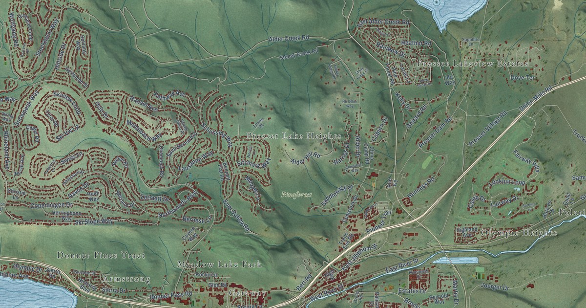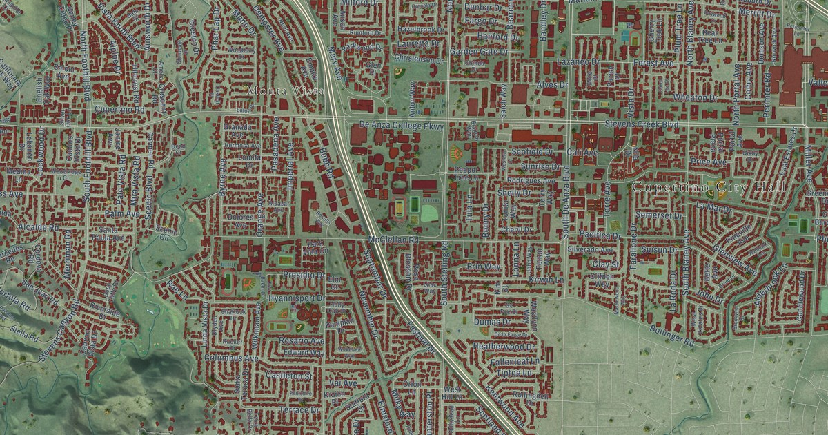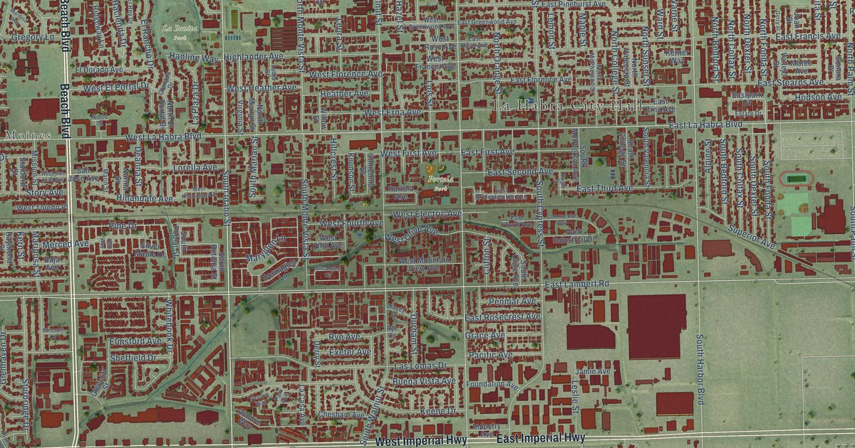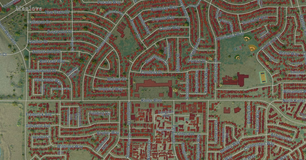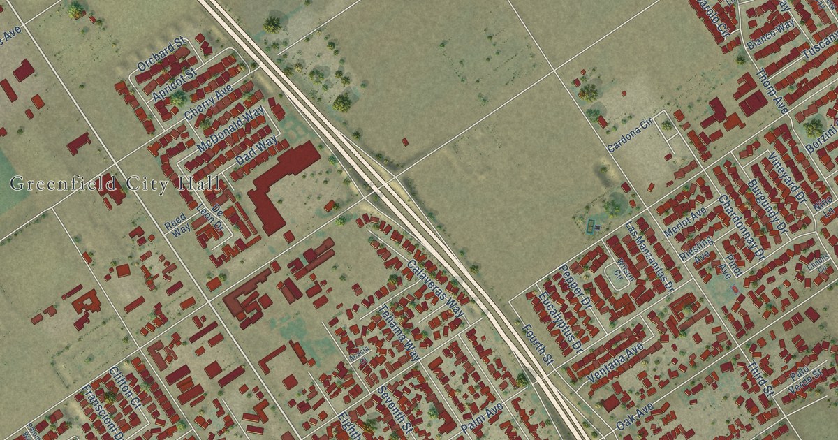
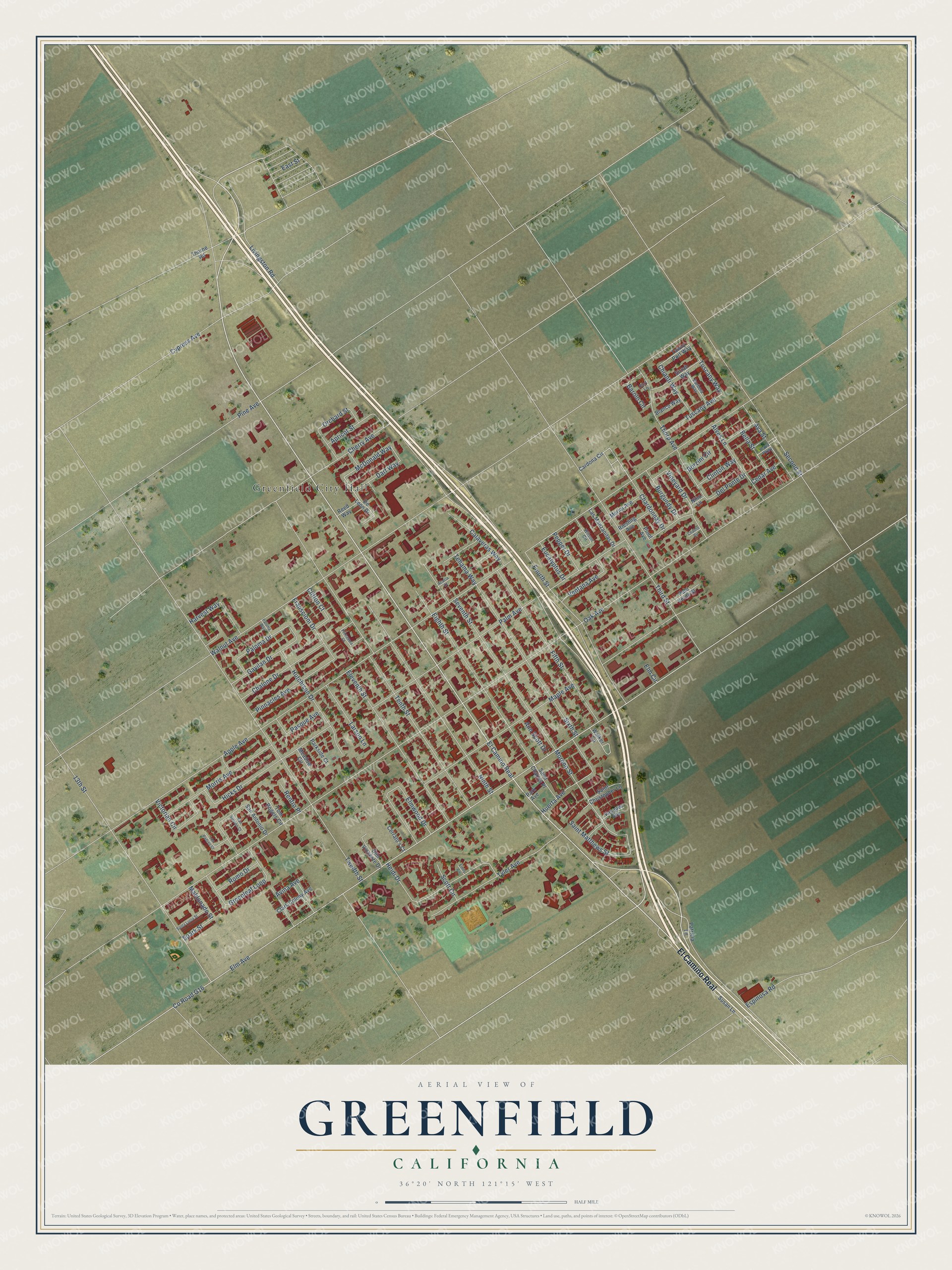
This beautifully detailed map of Greenfield, California was created in 2026 using aerial imagery combined with modern topographical, census, street and landmark data. It's a modern aerial view of Greenfield in Monterey County, California, that combines modern data with a vintage aesthetic. The roads feature printed names, and if you look closely you can find your exact house accurately shown in its correct location.
Explore an aerial view of Greenfield, California
On this map you'll find Greenfield City Hall, El Camino Real, McDonald Way, Tuscany Way, Moreno Street, Oak Avenue, Apple Avenue, Co Road G16, Elm Avenue, Walnut Avenue, Tenth Street, Twelfth Street, and more. Each red shape is a building, so zoom in on the preview and look for yours.
Here is a piece of Greenfield history, in the words of the record. The City of Greenfield puts it this way: "Greenfield, located in Monterey County, began as Clark Colony in April of 1905, created by a subdivision of 4,000 acres of valley bottomland by the California Home Extension Association, a branch of Rancho Arroyo Seco."
Greenfield is a city in Monterey County. The Census Bureau counted 18,937 people here in 2020.
Take a closer look at the Greenfield map
Names on this map
These names are printed on this map.
Places: Greenfield City Hall.
Streets and roads: El Camino Real, McDonald Way, Tuscany Way, Moreno Street, Oak Avenue, Apple Avenue, County Road G16, Elm Avenue, Walnut Avenue, Tenth Street, Twelfth Street, Third Street.
More street names, A to Z
13th Street, Acacia Court, Alves Lane, Ann Scott Drive, Apricot Street, Ava Street, Avina Avenue, Barbera Way, Barolo Circle, Bella Street, Bianco Way, Borzini Circle, Burgundy Drive, Calaveras Way, Cardona Circle, Cedar Avenue, Cerrato's Court, Chablis Circle, Chalone Drive, Chardonnay Drive, Cherry Avenue, Chianti Way, Clark Colony Avenue, Clifton Court, Clinton Way, Cypress Avenue, Dart Way, De Leon Drive, Del Ponte Drive, Don Vincente Drive, East Street, Eighth Street, Eleventh Street, Elm Circle, Elmwood Drive, Emily Circle, Espinosa Road, Eucalyptus Drive, Fifth Street, Fourth Street, Franscioni Drive, Gavilan Drive, Greenleaf Loop, Harvest Way, Heidi Drive, Hicks Drive, Huerta Avenue, Hutchison Drive, Larson Lane, Las Manzanitas Drive, Livingston Road, Los Padres Court, Maldonado Street, Maple Avenue, Meadow Circle, Merlot Avenue, Morris Avenue, Nino Lane, Ninth Street, Orchard Street, Palm Avenue, Paloma Drive, Paloma Way, Palo Verde Street, Park Avenue, Parkside Court, Pasque Avenue, Patricia Lane, Pepper Drive, Pine Avenue, Pinnacles Avenue, Pinot Avenue, Port Lane, Primavera Court, Rava Parkway, Reed Way, Renfro Place, Riesling Avenue, Romo Drive, Saint Charles Place, Saint Christopher Lane, Saint Matthews Street, San Antonio Drive, San Simeon Court, Santa Lucia Street, Scott Circle, Second Street, Seventh Street, Sirrah Way, Sixth Street, Spark Street, Susan Lane, Tawny Port Way, Tehama Way, Thorne Road, Thorp Avenue, Tom Rogers Circle, Tuscany Avenue, Tyler Avenue, Vasquez Avenue, Ventana Avenue, Victorian Circle, Vineyard Drive, Walker Lane, Wilson Circle.
Created by KNOWOL in 2026. The buildings are small red shapes, the roads carry their printed names, and shaded relief shows the shape of the land. The title panel reads "AERIAL VIEW OF GREENFIELD CALIFORNIA" with 36°20' NORTH 121°15' WEST.
It suits a den, a classroom or a front hall, and it makes a gift for anyone with Greenfield roots. Open the preview and find the block you know. See sizes and frames for the Greenfield map.