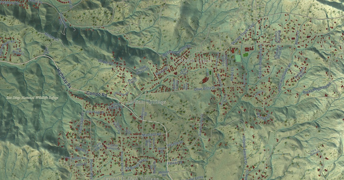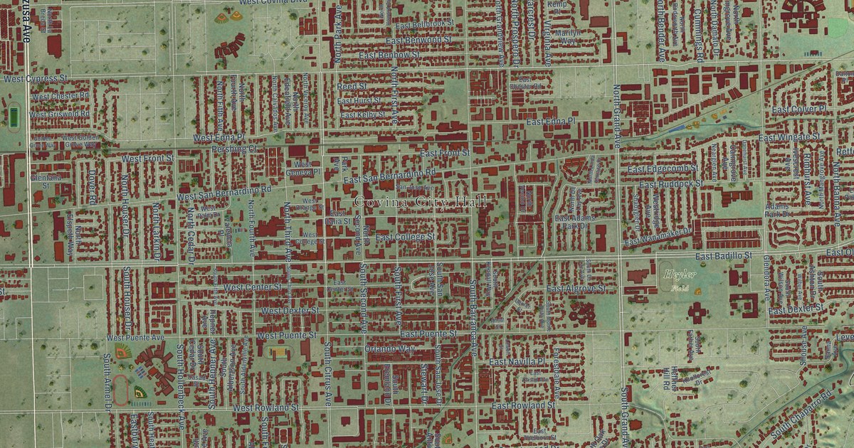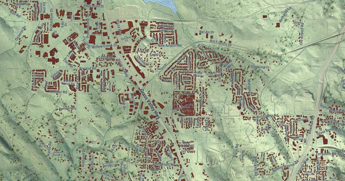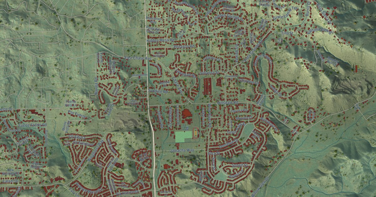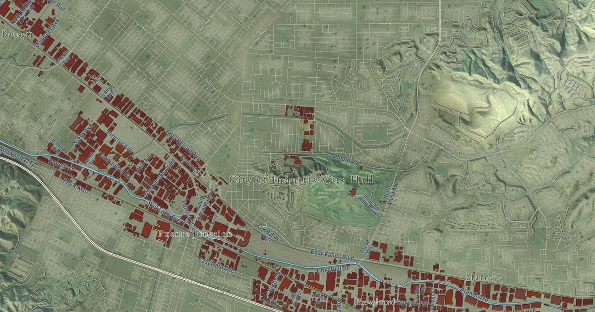
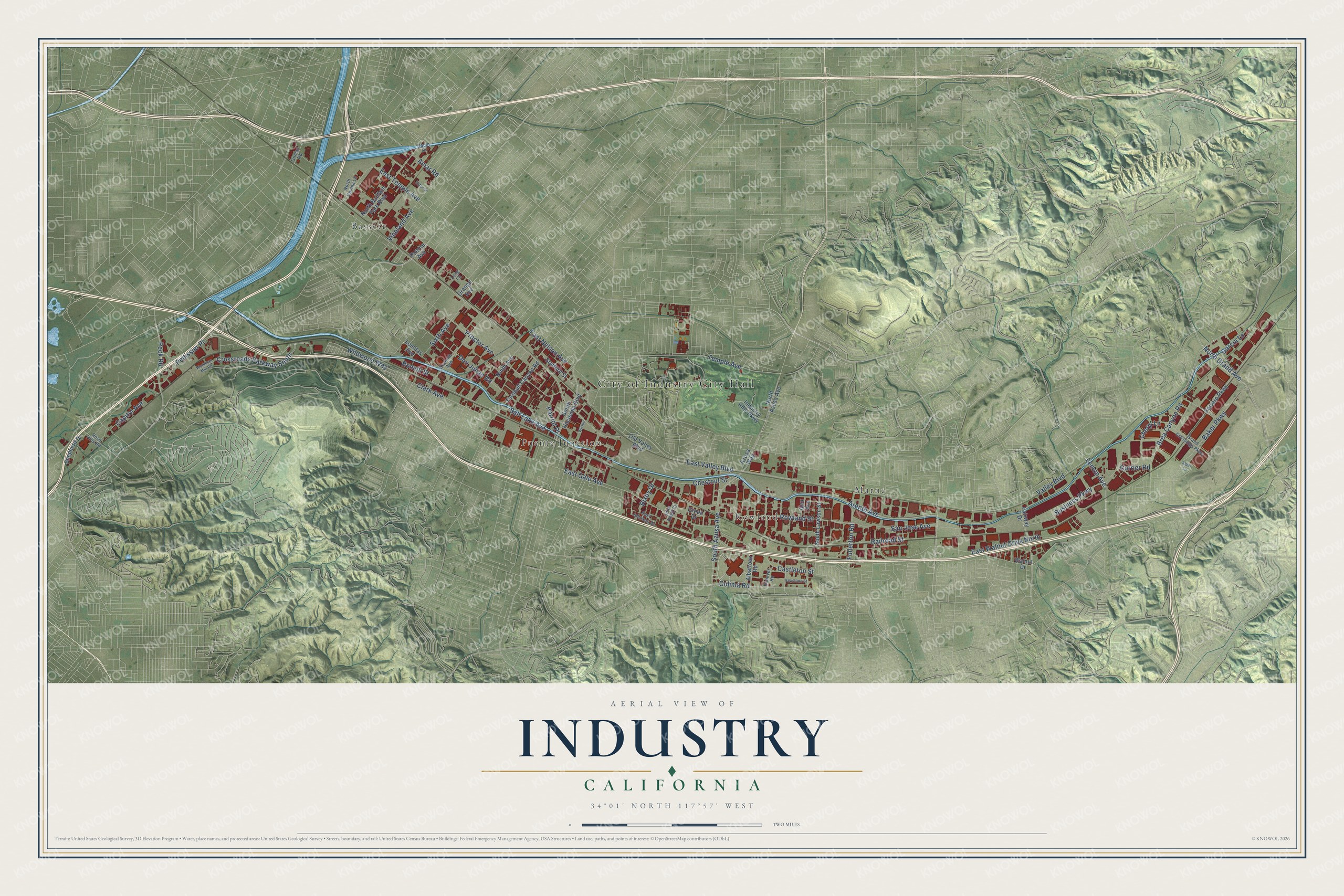
This beautifully detailed map of Industry, California was created in 2026 using aerial imagery combined with modern topographical, census, street and landmark data. It's a modern aerial view of Industry in Los Angeles County, California, that combines modern data with a vintage aesthetic. The roads feature printed names, and if you look closely you can find your exact house accurately shown in its correct location.
Explore an aerial view of Industry, California
On this map you'll find City of Industry City Hall, Marne, Rowland, Bassett, Puente Junction, Lemon Avenue, Rowland Street, North Grand Avenue, Railroad Street, Castleton Street, East Gale Avenue, Valley Boulevard, and more. Each red shape is a building, so zoom in on the preview and look for yours.
Here is a piece of Industry history, in the words of the record. The National Register of Historic Places puts it this way: "Wheat, grapes and
cattle were the wealth of the land until a drought in the 1860's, followed
by a very rainy year, destroyed the cattle industry."
Industry is a city in Los Angeles County. The Census Bureau counted 264 people here in 2020.
Take a closer look at the Industry map
Names on this map
These names are printed on this map.
Places: City of Industry City Hall, Marne, Rowland, Bassett and Puente Junction.
Streets and roads: Lemon Avenue, Rowland Street, North Grand Avenue, Railroad Street, Castleton Street, East Gale Avenue, Valley Boulevard, East Nelson Avenue, Arenth Avenue, South Azusa Avenue, East Valley Boulevard, Don Julian Road.
More street names, A to Z
Ajax Avenue, Albatross Road, Alder Lane, Amar Road, Azusa Way, Baker Parkway, Bixby Drive, Bonelli Street, Brea Canyon Road, Business Parkway, Capitol Avenue, Cheryl Lane, Chestnut Street, Clark Avenue, Colima Road, Crossroads Parkway South, Currier Road, Daum Drive, East Johnson Drive, East Temple Avenue, East Walnut Drive North, Ector Street, Fairway Drive, Ferrero Parkway, Fullerton Road, Garcia Lane, Gilman Road, Grand Crossings Parkway, Green Drive, Hanover Road, Industry Hills Parkway, John Reed Court, Keystone Street, Lomitas Avenue, Long Lane, Ninth Avenue, North Azusa Avenue, North Baldwin Park Boulevard, North Covina Lane, Old Valley Boulevard, Orange Avenue, Parriot Place, Peck Road, Pellissier Place, Proctor Avenue, Puente Avenue, Rose Hills Road, Salt Lake Avenue, San Jose Avenue, Seventh Avenue, Shepherd Drive, Sixth Avenue, South Hacienda Boulevard, South Lawson Street, Stafford Street, Temple Avenue, Turnbull Canyon Road, Vineland Avenue, Walnut Drive, Wildwood Way, Wilson, Workman Mill Road.
Created by KNOWOL in 2026. The buildings are small red shapes, the roads carry their printed names, and shaded relief shows the shape of the land. The title panel reads "AERIAL VIEW OF INDUSTRY CALIFORNIA" with 34°01' NORTH 117°57' WEST.
It suits a den, a classroom or a front hall, and it makes a gift for anyone with Industry roots. Open the preview and find the block you know. See sizes and frames for the Industry map.