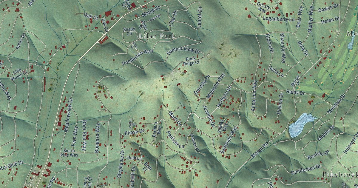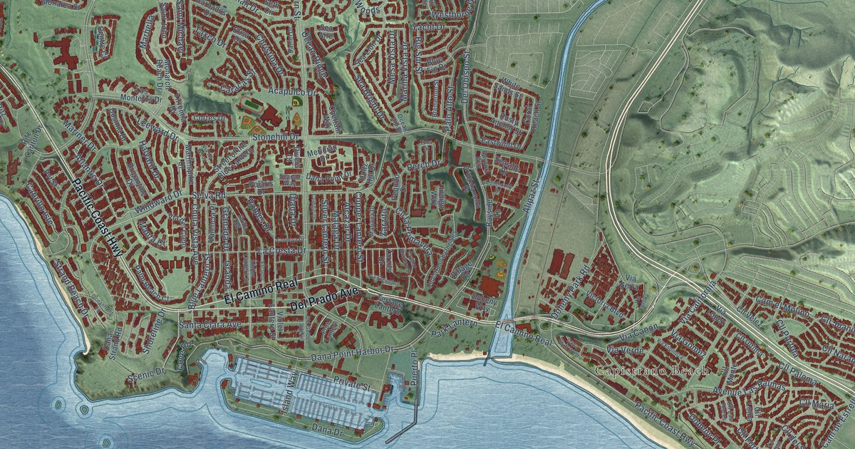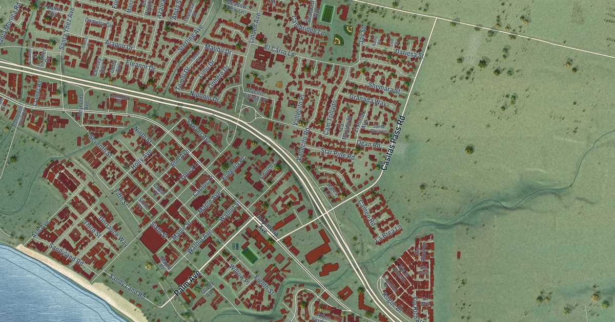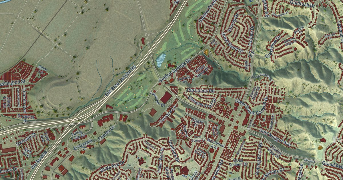
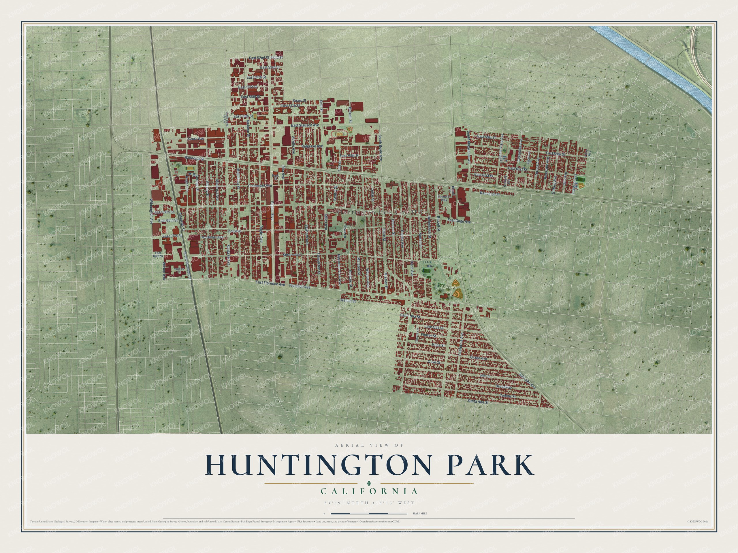
This beautifully detailed map of Huntington Park, California was created in 2026 using aerial imagery combined with modern topographical, census, street and landmark data. It's a modern aerial view of Huntington Park in Los Angeles County, California, that combines modern data with a vintage aesthetic. The roads feature printed names, and if you look closely you can find your exact house accurately shown in its correct location.
Explore an aerial view of Huntington Park, California
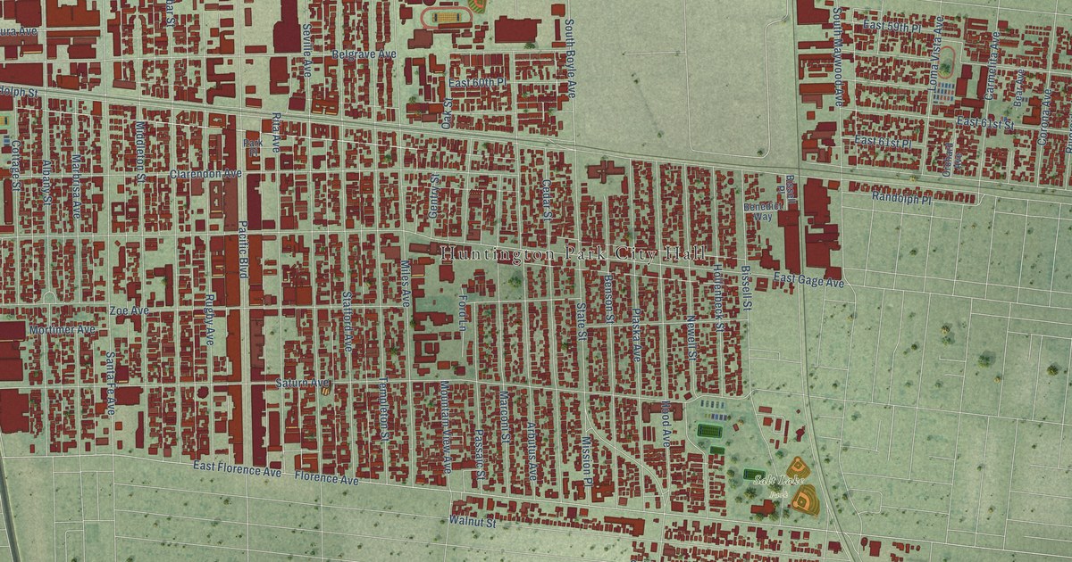
On this map you'll find Huntington Park City Hall, Salt Lake Park, Randolph Street, East Florence Avenue, Florence Avenue, East Gage Avenue, State Street, Saturn Avenue, East Slauson Avenue, Zoe Avenue, Pacific Boulevard, South Alameda Street, and more. Each red shape is a building, so zoom in on the preview and look for yours.
Huntington Park is a city in Los Angeles County. The Census Bureau counted 54,883 people here in 2020. The map prints the town name in its title panel, with the coordinates below it.
Take a closer look at the Huntington Park map
Names on this map
These names are printed on this map.
Places: Huntington Park City Hall and Salt Lake Park.
Streets and roads: Randolph Street, East Florence Avenue, Florence Avenue, East Gage Avenue, State Street, Saturn Avenue, East Slauson Avenue, Zoe Avenue, Pacific Boulevard, South Alameda Street, Malabar Street, Salt Lake Avenue.
More street names, A to Z
52nd Street, Alameda Street, Albany Street, Arbutus Avenue, Bear Avenue, Belgrave Avenue, Benedict Way, Benson Street, Bickett Street, Bissell Place, Bissell Street, Broadway, California Avenue, California Street, Carmelita Avenue, Cedar Street, Clarendon Avenue, Corona Avenue, Cottage Street, Cudahy Street, East 52nd Street, East 53rd Street, East 54th Street, East 55th Street, East 56th Street, East 57th Street, East 58th Street, East 59th Place, East 60th Place, East 60th Street, East 61st Place, East 61st Street, East 64th Street, East 65th Street, East 67th Street, East 69th Street, Fishburn Avenue, Flora Avenue, Flower Street, Ford Lane, Gentry Street, Gifford Avenue, Grand Avenue, Hawkins Circle, Hill Street, Hollenbeck Street, Hood Avenue, Hope Street, Laura Avenue, Live Oak Street, Loma Vista Avenue, Marbrisa Avenue, Marconi Street, Middleton Street, Miles Avenue, Mission Place, Mortimer Avenue, Mountain View Avenue, Newell Street, Oak Street, Olive Street, Orchard Avenue, Otis Avenue, Park Place, Passaic Street, Plaska Avenue, Randolph Place, Regent Street, Rita Avenue, Riverside Avenue, Rugby Avenue, Santa Ana Street, Santa Fe Avenue, Sears Street, Seville Avenue, Soto Street, South Boyle Avenue, South Maywood Avenue, South Santa Fe Avenue, Stafford Avenue, Templeton Street, Walnut Street, Wilmington Avenue, Wilson Avenue, Yahualica Place.
Created by KNOWOL in 2026. The buildings are small red shapes, the roads carry their printed names, and shaded relief shows the shape of the land. The title panel reads "AERIAL VIEW OF HUNTINGTON PARK CALIFORNIA" with 33°59' NORTH 118°13' WEST.
Hang it in the hallway, the office or the cabin, or give it to someone who left Huntington Park and still calls it home. Open the preview and look for a street you know. See sizes and frames for the Huntington Park map.