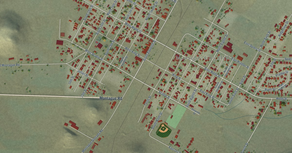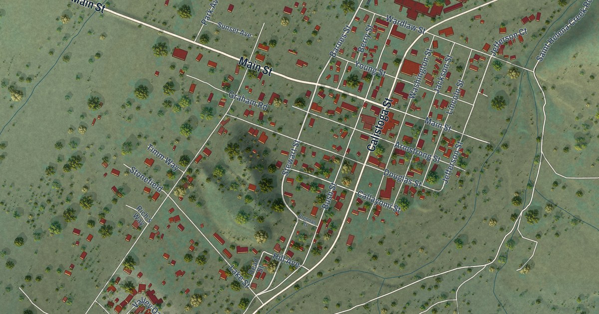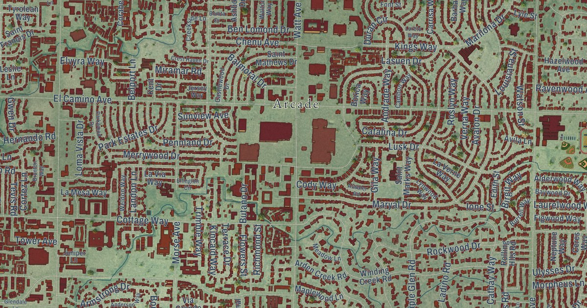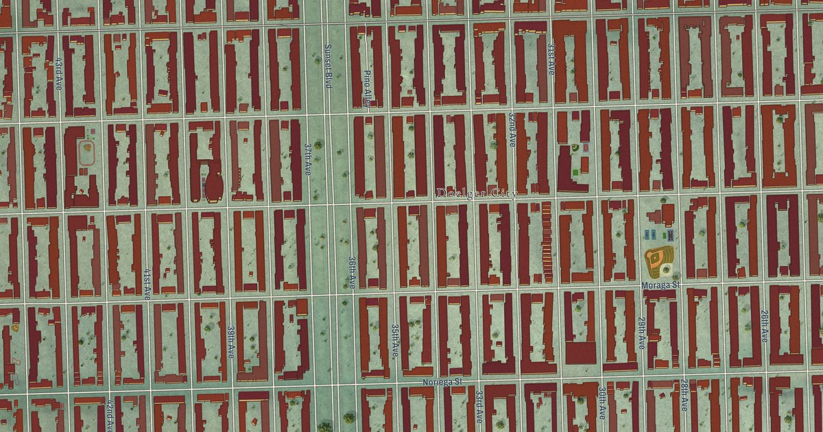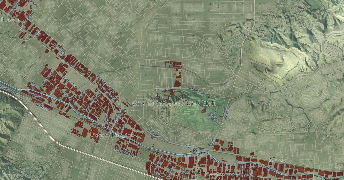
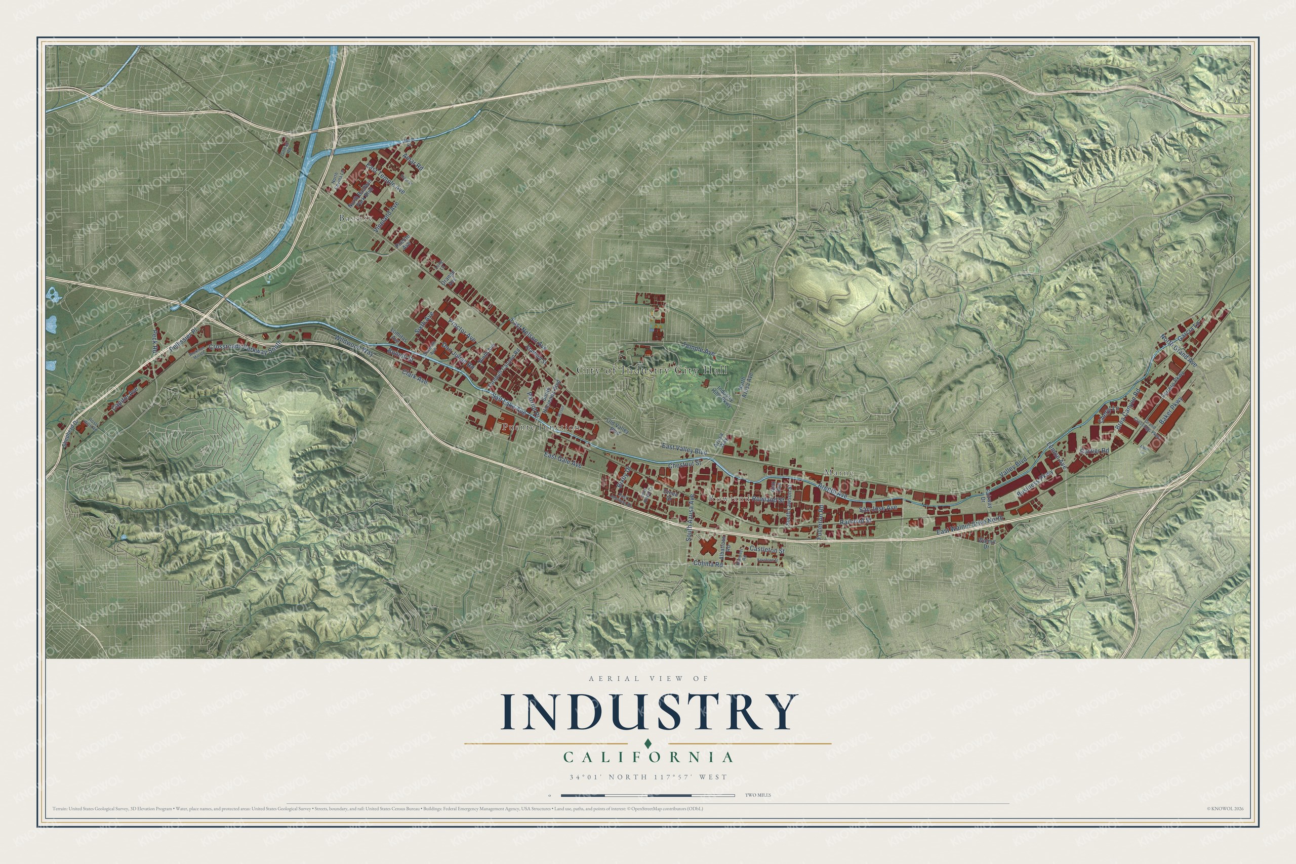
This beautifully detailed map of Industry, California was created in 2026 using aerial imagery combined with modern topographical, census, street and landmark data. It’s a one-of-a-kind view of Industry that combines accurate data with a vintage aesthetic. The map shows every building in its true location, many of the roads carry their names, and the shaded topographic relief shows the shape of the land.
Explore an aerial view of Industry, California
On the map you’ll find City of Industry City Hall, Marne, Rowland, Bassett, and Puente Junction, along with Lemon Avenue, Rowland Street, North Grand Avenue, Railroad Street, Castleton Street, East Gale Avenue, Valley Boulevard, and more. If you look closely you can even find your house accurately drawn in its correct location. Zoom in on the preview to look for yours.
Did you know this piece of Industry, California history?
From Arcadia Publishing: "Incorporated on June 18, 1957, the City of Industry is located 20 miles east of downtown Los Angeles. The city’s founding was based on providing a dedicated area for industrial employment in between two major railroad lines."
Take a closer look at the Industry map
Street and place names on the Industry, California map
These names are printed on the map of Industry, California.
Places: City of Industry City Hall, Marne, Rowland, Bassett and Puente Junction.
Streets and roads: Lemon Avenue, Rowland Street, North Grand Avenue, Railroad Street, Castleton Street, East Gale Avenue, Valley Boulevard, East Nelson Avenue, Arenth Avenue, South Azusa Avenue, East Valley Boulevard, Don Julian Road.
More street names, A to Z
Ajax Avenue, Albatross Road, Alder Lane, Amar Road, Azusa Way, Baker Parkway, Bixby Drive, Bonelli Street, Brea Canyon Road, Business Parkway, Capitol Avenue, Cheryl Lane, Chestnut Street, Clark Avenue, Colima Road, Crossroads Parkway South, Currier Road, Daum Drive, East Johnson Drive, East Temple Avenue, East Walnut Drive North, Ector Street, Fairway Drive, Ferrero Parkway, Fullerton Road, Garcia Lane, Gilman Road, Grand Crossings Parkway, Green Drive, Hanover Road, Industry Hills Parkway, John Reed Court, Keystone Street, Lomitas Avenue, Long Lane, Ninth Avenue, North Azusa Avenue, North Baldwin Park Boulevard, North Covina Lane, Old Valley Boulevard, Orange Avenue, Parriot Place, Peck Road, Pellissier Place, Proctor Avenue, Puente Avenue, Rose Hills Road, Salt Lake Avenue, San Jose Avenue, Seventh Avenue, Shepherd Drive, Sixth Avenue, South Hacienda Boulevard, South Lawson Street, Stafford Street, Temple Avenue, Turnbull Canyon Road, Vineland Avenue, Walnut Drive, Wildwood Way, Wilson, Workman Mill Road.
See the Industry, California map on a wall
The Industry map as an 18 x 24 inch print in a black frame.

This beautifully detailed map of Industry makes an attractive addition to your office, library, or den, and it can even be used to teach children the geography and history of the area. It also makes a great gift for anyone with Industry roots. When you’re done exploring, click here to get your copy of the Industry map.