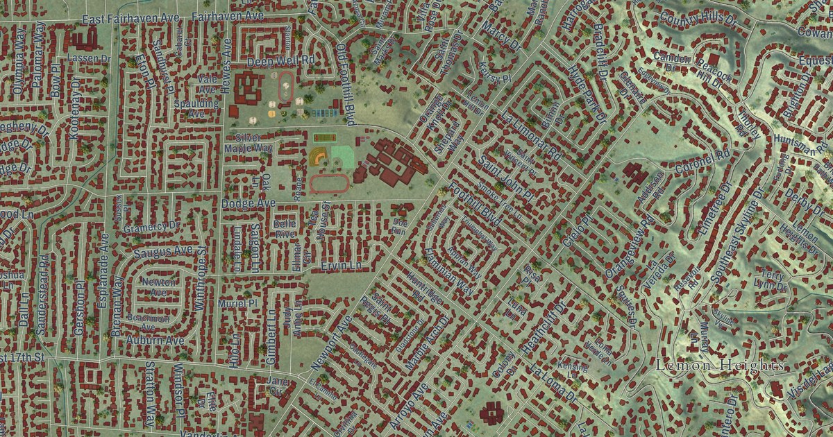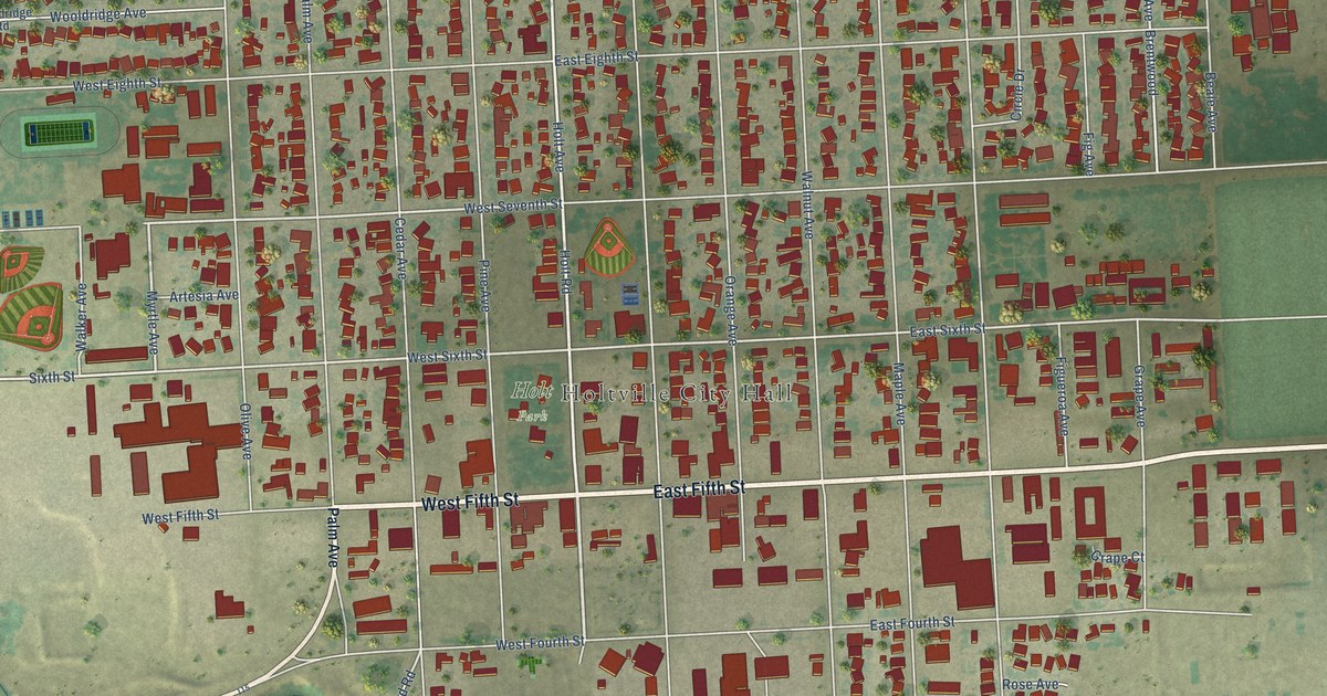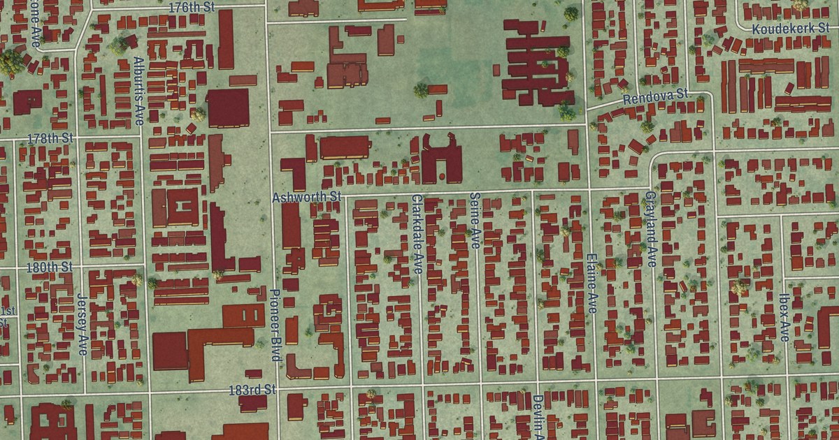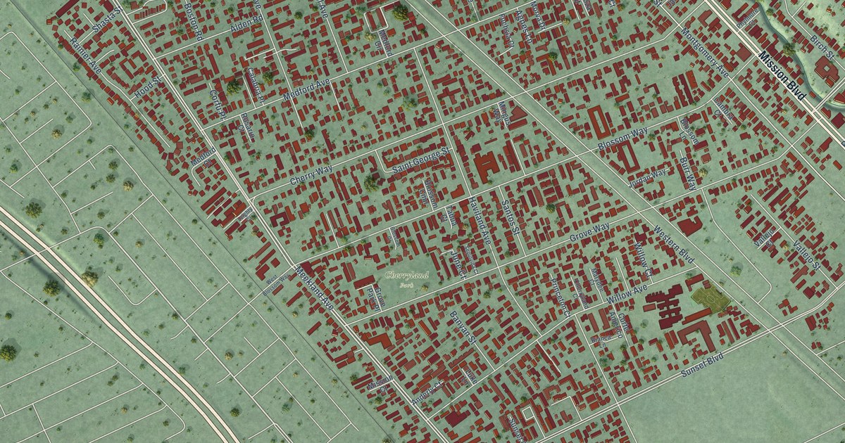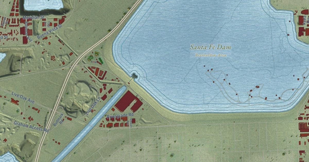
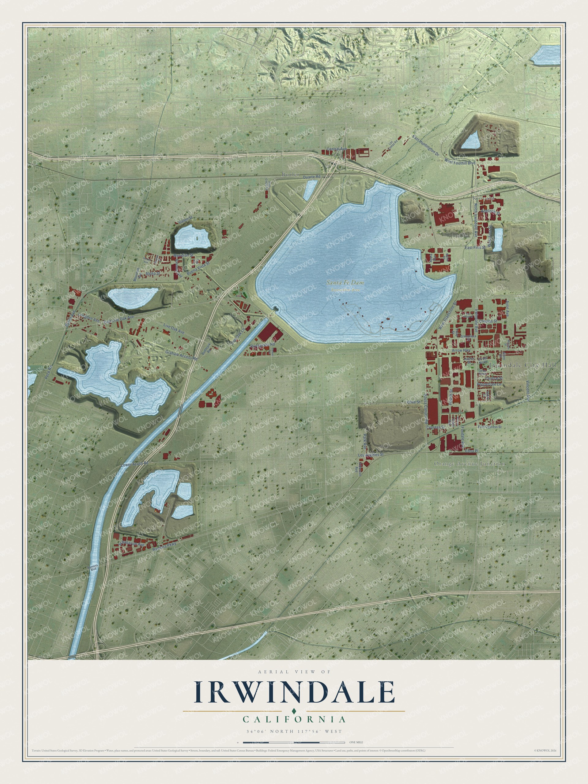
This beautifully detailed map of Irwindale, California was created in 2026 using aerial imagery combined with modern topographical, census, street and landmark data. It's a modern aerial view of Irwindale in Los Angeles County, California, that combines modern data with a vintage aesthetic. The roads feature printed names, and if you look closely you can find your exact house accurately shown in its correct location.
Explore an aerial view of Irwindale, California
On this map you'll find Irwindale City Hall, Kincaid, Orange Avenue Junction, Santa Fe Dam Recreation Area, Butler, Irwindale Avenue, North Irwindale Avenue, Ornelas Street, West Foothill Boulevard, Azusa Canyon Road, Live Oak Avenue, East Huntington Drive, and more. Each red shape is a building, so zoom in on the preview and look for yours.
Irwindale is a city in Los Angeles County. The Census Bureau counted 1,472 people here in 2020. The map prints the town name in its title panel, with the coordinates below it.
Take a closer look at the Irwindale map
Names on this map
These names are printed on this map.
Places: Irwindale City Hall, Kincaid, Orange Avenue Junction, Santa Fe Dam Recreation Area and Butler.
Streets and roads: Irwindale Avenue, North Irwindale Avenue, Ornelas Street, West Foothill Boulevard, Azusa Canyon Road, Live Oak Avenue, East Huntington Drive, Myrtle Avenue, Peppertree Lane, Edna Place, Arrow Highway, Olive Street.
More street names, A to Z
Adelante Street, Alderson Avenue, Allen Drive, Alpha Street, Ayala Avenue, Ayon Avenue, Bateman Avenue, Budmark Road, Buena Vista Street, Bus Center Drive, Central Avenue, Central Street, Cll del Norte, Cll de Paseo, Cypress Street, Duarte Road, East Circle Road, East Cypress Street, East First Street, East Live Oak Avenue, Fourth Street, Foxdale Avenue, Fraijo Avenue, Galen Street, Graham Access Road, Juarez Street, Las Lomas Road, Live Oak Lane, Longden Avenue, Los Angeles Street, Lower Azusa Road, Martin Road, Meridian Street, Morada Street, Mountain Avenue, Nora Avenue, Park Avenue, Peck Road, Ramona Boulevard, Ramona Parkway, Rivergrade Road, Ruelas Street, Sabre Lane, Salvatiera Street, Schabarum Avenue, Shrode Avenue, Stewart Avenue, Third Street, Tifal Avenue, Vincent Avenue, West First Street, West Gladstone Street.
Created by KNOWOL in 2026. The buildings are small red shapes, the roads carry their printed names, and shaded relief shows the shape of the land. The title panel reads "AERIAL VIEW OF IRWINDALE CALIFORNIA" with 34°06' NORTH 117°56' WEST.
It looks right in a kitchen, an office or a den, and it's a gift for anyone who grew up in Irwindale or moved away. Open the preview and find your street. See sizes and frames for the Irwindale map.