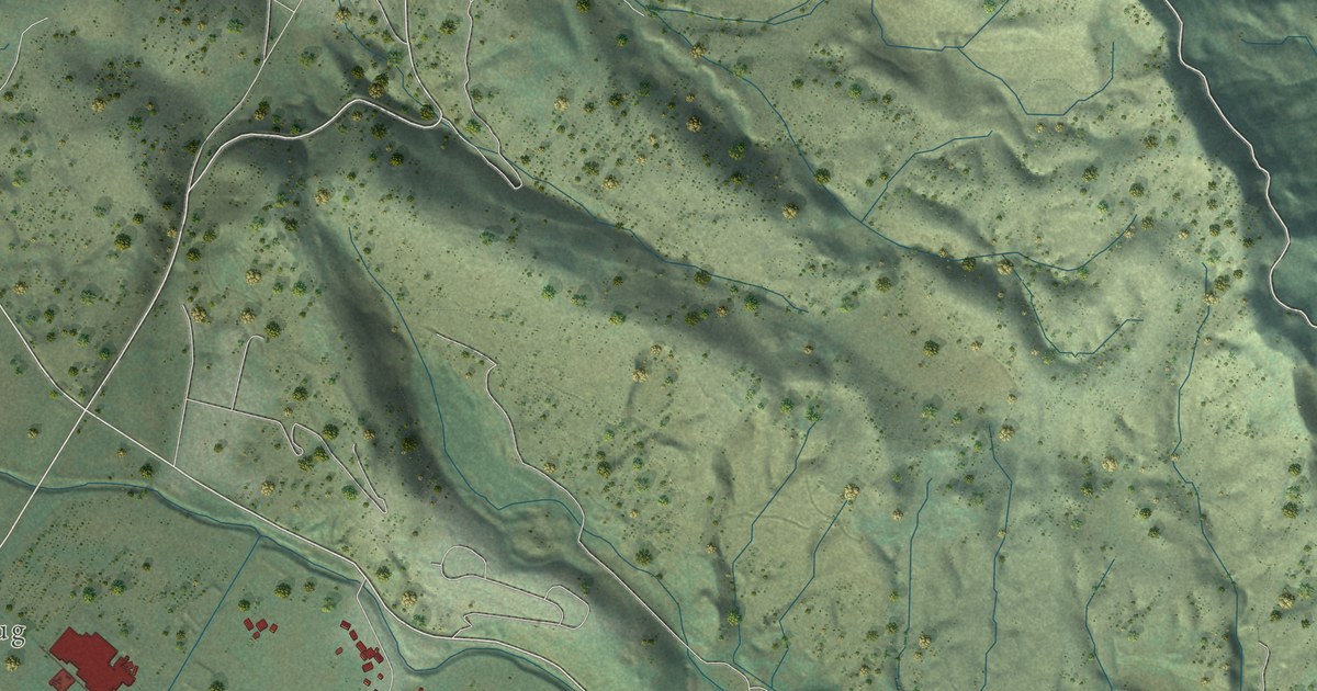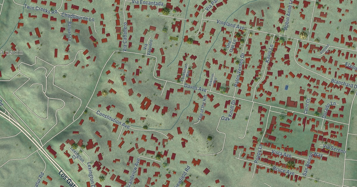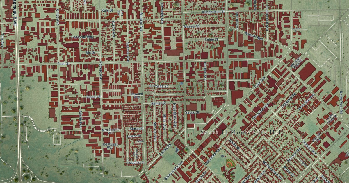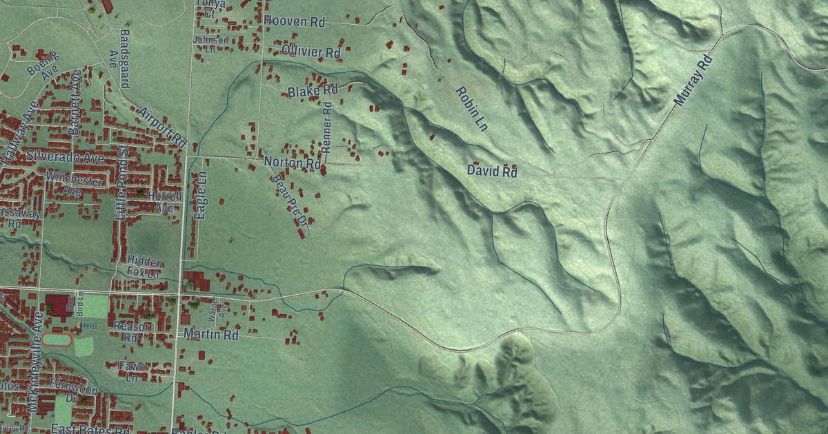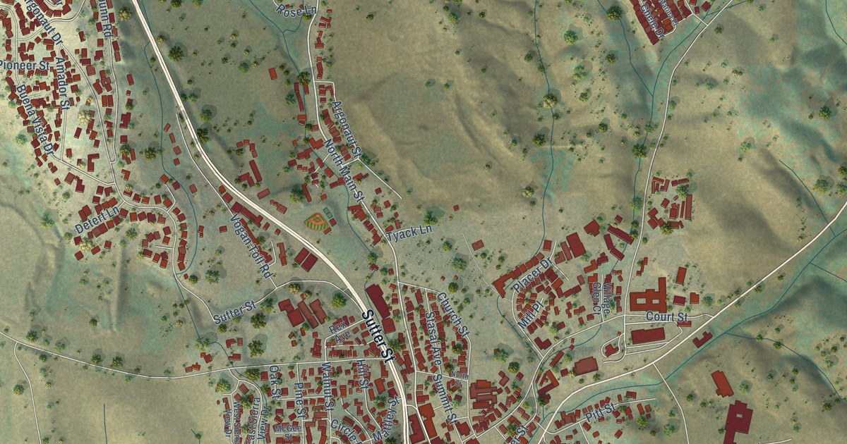
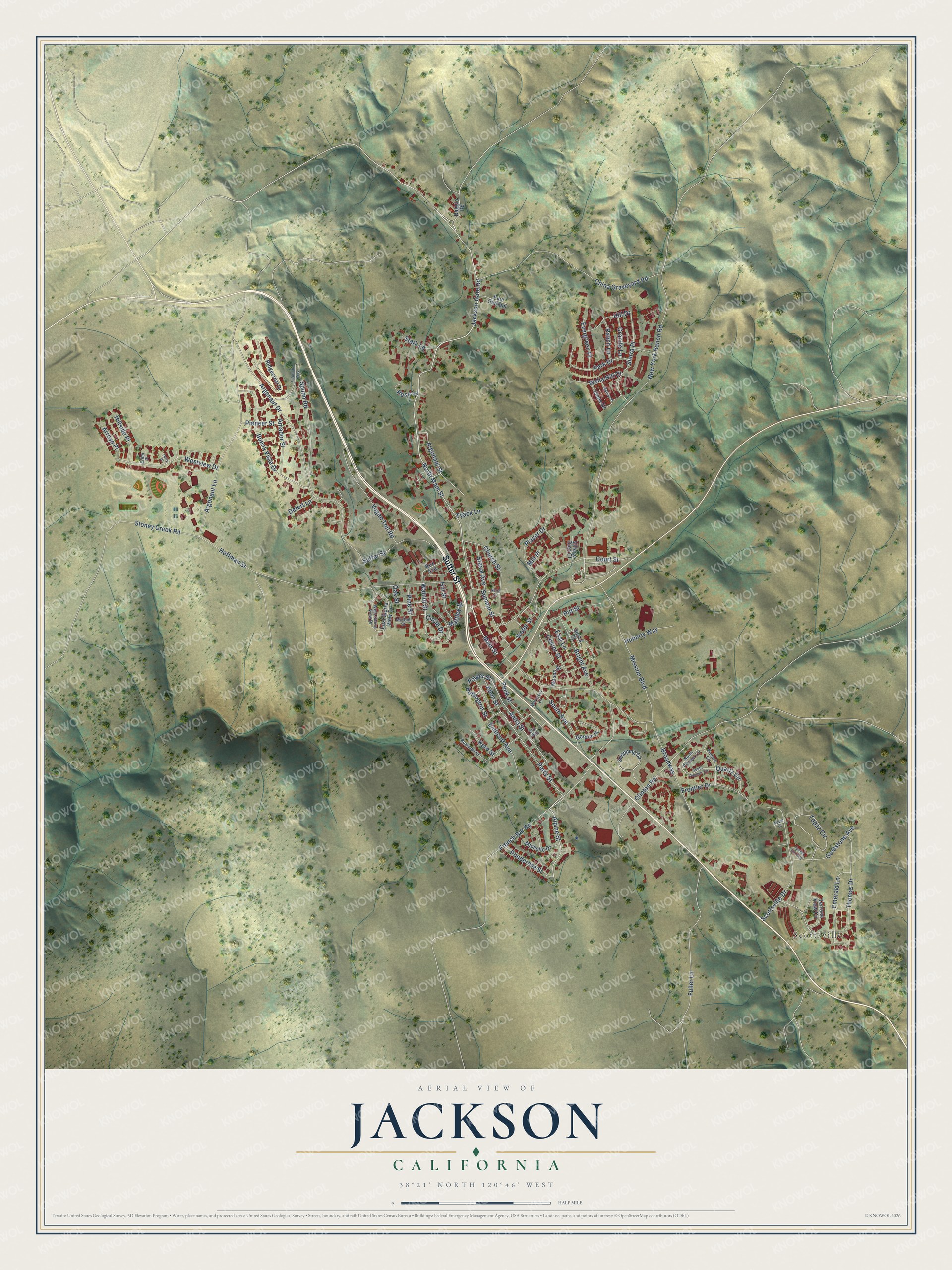
This beautifully detailed map of Jackson, California was created in 2026 using aerial imagery combined with modern topographical, census, street and landmark data. It's a modern aerial view of Jackson in Amador County, California, that combines modern data with a vintage aesthetic. The roads feature printed names, and if you look closely you can find your exact house accurately shown in its correct location.
Explore an aerial view of Jackson, California
On this map you'll find Scottsville, Sutter Street, North Main Street, Jackson Gate Road, Main Street, Buffington Street, Alpine Street, French Bar Road, Folger Street, Perry Street, Anita Street, Argonaut Street, and more. Each red shape is a building, so zoom in on the preview and look for yours.
Jackson has a story worth telling. The record at ohp.parks.ca.gov puts it this way: "The Order of Native Daughters of the Golden West was organized on these premises, the site of the Pioneer Hall, on September 11, 1886."
Jackson is a city in Amador County. The Census Bureau counted 5,019 people here in 2020.
Take a closer look at the Jackson map
Names on this map
These names are printed on this map.
Places: Scottsville.
Streets and roads: Sutter Street, North Main Street, Jackson Gate Road, Main Street, Buffington Street, Alpine Street, French Bar Road, Folger Street, Perry Street, Anita Street, Argonaut Street, Walnut Street.
More street names, A to Z
Allen Street, Amador Street, Argonaut Drive, Argonaut Lane, Arroyo Place, Boarman Street, Bright Avenue, Broadway, Buena Vista Drive, Center Street, Chele Drive, China Graveyard Road, Church Street, Circle Drive, Clinton Road, Court Street, Detert Lane, East Lane, East Sierra View Drive, El Dorado Way, Emerald Lane, Endicott Avenue, Erinn Place, Eva Way, Evergreen Place, Frontier Drive, Fuller Lane, Goldstone Avenue, Gordon Place, Granite Lane, Hill Drive, Hillside Place, Hill Street, Hoffman Street, Huberty Way, Kern Street, Marcucci Lane, Marina Place, Mason Street, Mattley Street, McGee Street, Michelle Drive, Mill Place, Mission Boulevard, Nevill Court, New York Ranch Road, North Pioneer Circle, North Street, Oak Street, Park Drive, Paul Giurlani, Peek Street, Pine Street, Pioneer Circle, Pioneer Street, Pitt Street, Placer Drive, Ponderosa Street, Quartz Circle, Raggio Road, Ranch Lane, Rex Avenue, Ridgecrest Drive, Rose Lane, Scottsville Drive, Shopping Circle, Sierra Place, Sierra Street, South Avenue, South Pioneer Circle, Spunn Road, Stark Lane, Stasal Avenue, Stoney Creek Road, Summit Street, Terrace View Circle, Terry Place, Thomas Drive, Topaz Circle, Tunnel Hill Way, Tyack Lane, Village Glen Court, Vogan Toll Road, Water Street, Wella Hill Drive, West Sierra View Drive, Westview Drive.
Created by KNOWOL in 2026. The buildings are small red shapes, the roads carry their printed names, and shaded relief shows the shape of the land. The title panel reads "AERIAL VIEW OF JACKSON CALIFORNIA" with 38°21' NORTH 120°46' WEST.
It looks right in a kitchen, an office or a den, and it's a gift for anyone who grew up in Jackson or moved away. Open the preview and find your street. See sizes and frames for the Jackson map.