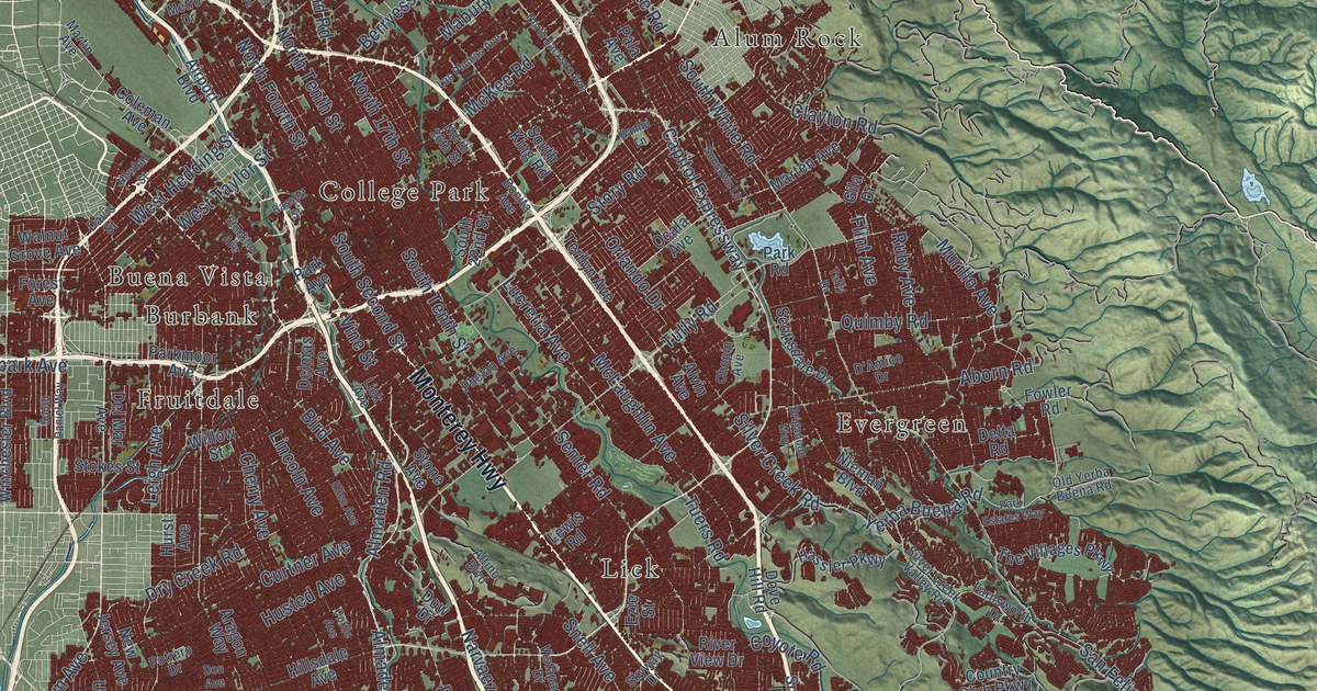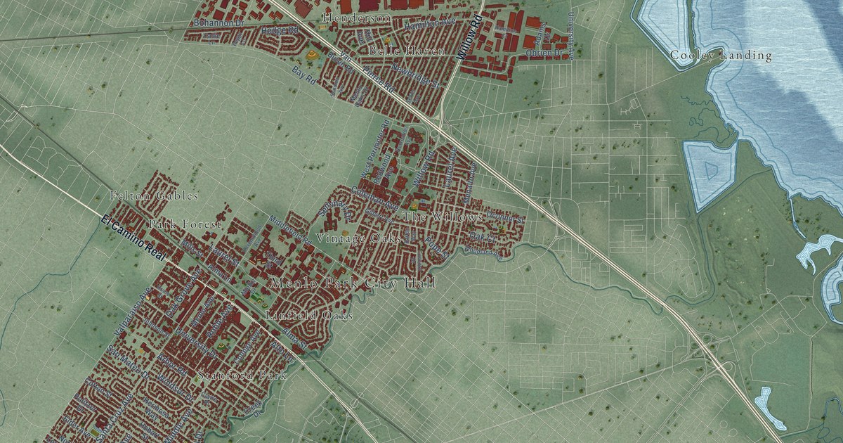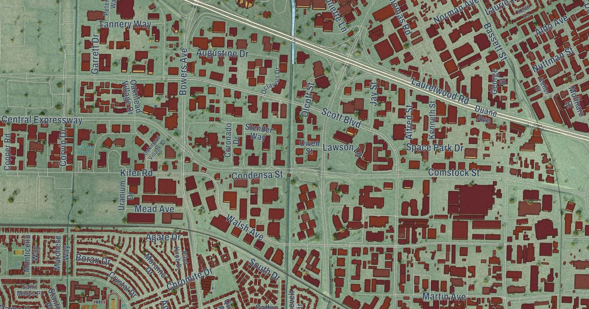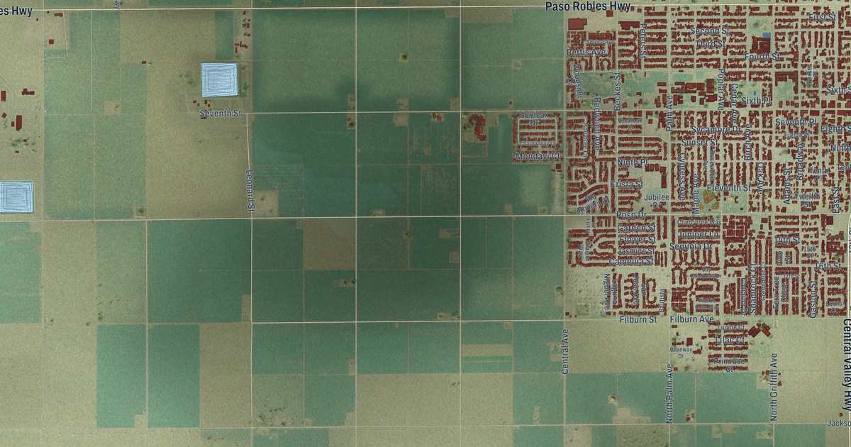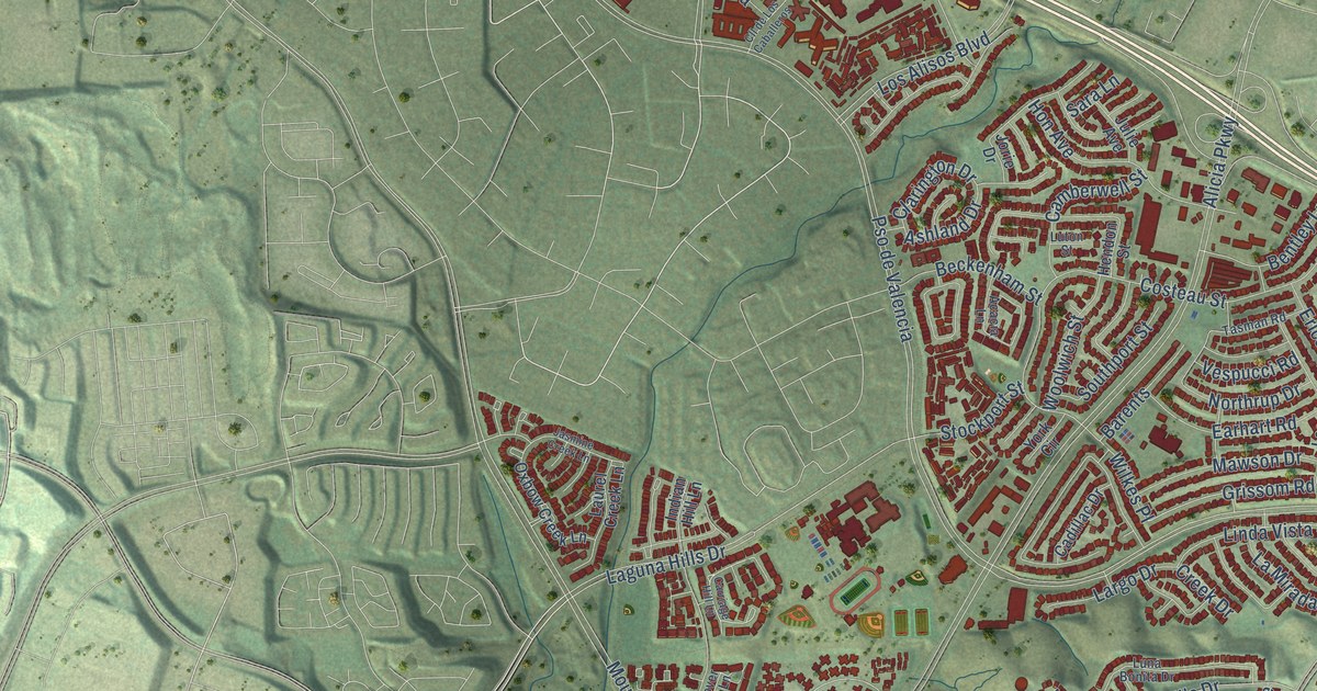
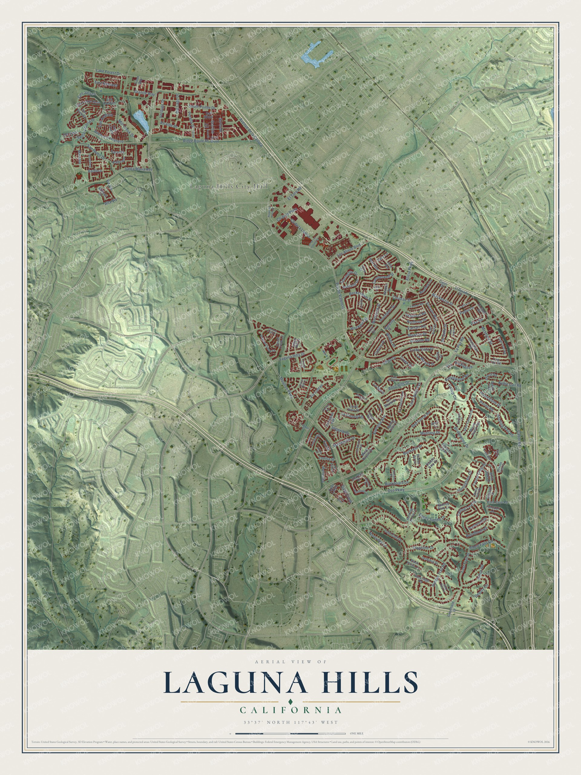
This beautifully detailed map of Laguna Hills, California was created in 2026 using aerial imagery combined with modern topographical, census, street and landmark data. It's a modern aerial view of Laguna Hills in Orange County, California, that combines modern data with a vintage aesthetic. The roads feature printed names, and if you look closely you can find your exact house accurately shown in its correct location.
Explore an aerial view of Laguna Hills, California
On this map you'll find Laguna Hills City Hall, Alta Vis, Via Vis, Grissom Road, Buckskin Drive, Pike Road, Pso de Valencia, Moulton Parkway, La Paz Road, Alicia Parkway, Oso Parkway, Cabot Road, and more. Each red shape is a building, so zoom in on the preview and look for yours.
Laguna Hills is a city in Orange County. The Census Bureau counted 31,374 people here in 2020. The map prints the town name in its title panel, with the coordinates below it.
Take a closer look at the Laguna Hills map
Names on this map
These names are printed on this map.
Places: Laguna Hills City Hall.
Streets and roads: Alta Vis, Via Vis, Grissom Road, Buckskin Drive, Pike Road, Pso de Valencia, Moulton Parkway, La Paz Road, Alicia Parkway, Oso Parkway, Cabot Road, Nellie Gail Road.
More street names, A to Z
Acacia Lane, Alameda Avenue, Alcalde Drive, Aliso Hills Drive, Anacapa Street, Anadale Drive, Andrea Street, Anvil Circle, Ashland Drive, Atherton Avenue, Avenue Costanero, Avenue de la Carlota, Barbera, Barents, Bay Mist, Beckenham Street, Bentley Lane, Black Horse Lane, Bridlewood Drive, Broken Bit Lane, Buckboard Lane, Buena Vista Court, Cadillac Drive, Cajon Drive, Califia Drive, Camberwell Street, Carmel Street, Carriage Hill Lane, Champlain Road, Charlton Drive, Chester Drive, Clarington Drive, Cll de la Louisa, Cll de la Plata, Cll de Los Caballeros, Clover Hill Lane, Cmt Amor, Cmt Andreta, Cmt Arroyo Seco, Cmt Danubo, Cmt Jalisco, Cmt Lazaro, Cmt Pacifico, Costeau Street, Creek Drive, Dapple Grey Drive, Del Lago Drive, Del Monte Street, Deputy Circle, Derbyhill Drive, De Salle Street, Desert Trail, Dillon Road, Drift Wood, Earhart Road, East Bassano, El Dorado Drive, El Toro Road, Empty Saddle Drive, Ericson Way, Eva Street, Faircourt Lane, Falling Leaf Drive, Flintlock Lane, Gallup Circle, Glen Canyon Drive, Gold Dust Lane, Granite Way, Greenfield Drive, Hendon Street, Hidden Trail Road, Hitching Rail Road, Hon Avenue, Houston Trail, Imperial Drive, Indian Hill Lane, Ironwood Drive, Jasmine Creek Lane, Jorie Drive, Julie Avenue, La Cienega Street, La Cuesta Avenue, Laguna Court, Laguna Hills Drive, Lake Forest Drive, La Mirada Street, Largo Drive, Las Alturas Avenue, Las Bolsas, La Scala, La Serra, Las Palmas, La Suen Road, La Traviata, Laurel Creek Lane, Laurel Crest Drive, Linda Flora Street, Linda Vista Drive, Los Alisos Boulevard, Lost Colt Drive, Lost Trail Drive, Louisa Street, Luna Bonita Drive, Luton Street, Mackenzie Street, Mandeville Drive, Marsala, Mawson Drive, McIntyre Street, Meadow Crest Drive, Mendocino Court, Merienda, Mill Creek Drive, Monte Royale Street, Monte Vis, Moore Oaks Road, Mount Diablo Road, Mustang Drive, Northrup Drive, Nottingham Court, Oak Leaf Road, Orellano Way, Oxbow Creek Lane, Padua Drive, Palermo, Pecos Road, Peralta, Peralta Drive, Prairestone Drive, Quail Creek, Quail Lakes, Rangewood Road, Rapid Falls Road, Red Corral Road, Ridge Route Drive, Rocking Horse Lane, Rockridge Road, Ronda del Rossmoor, Salt Water, San Remo Drive, Santa Maria Avenue, Santa Vittoria Drive, Sara Lane, Sarita Drive, Seacliff, Sea Isle, Sheriff Road, Soresina, South Pointe Drive, Southport Street, Spotted Pony Lane, Spring Pines, Stageline Drive, Stetson Place, Stockport Street, Sunnyglen Avenue, Surfside, Talega Avenue, Taranto, Tasman Road, Terra Bella Avenue, Tree Top Road, Triton Way, Verdugo Drive, Vespucci Road, Via Lomas, Vis Firenze, Vista Viejo Road, Westhaven Drive, Westridge Lane, White Oaks Drive, Wilkes Place, Willows Drive, Woodbluff Road, Woolwich Street, Yolanda Street, York Circle.
Created by KNOWOL in 2026. The buildings are small red shapes, the roads carry their printed names, and shaded relief shows the shape of the land. The title panel reads "AERIAL VIEW OF LAGUNA HILLS CALIFORNIA" with 33°37' NORTH 117°43' WEST.
Hang it in the hallway, the office or the cabin, or give it to someone who left Laguna Hills and still calls it home. Open the preview and look for a street you know. See sizes and frames for the Laguna Hills map.