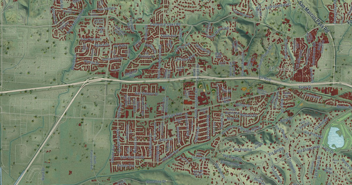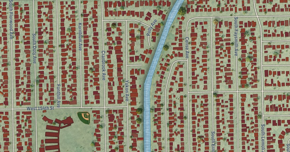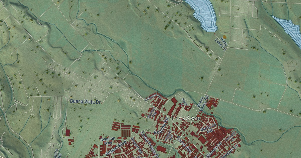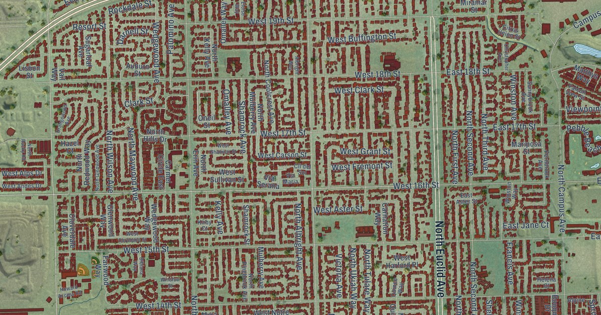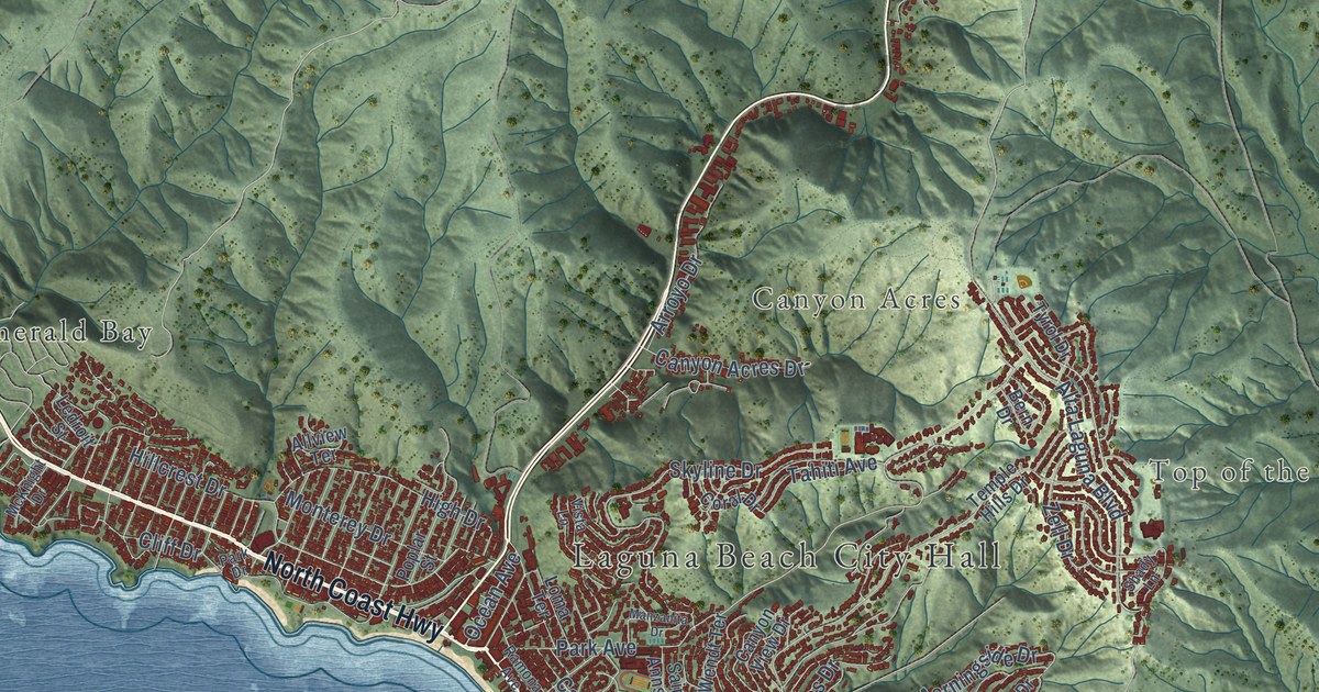
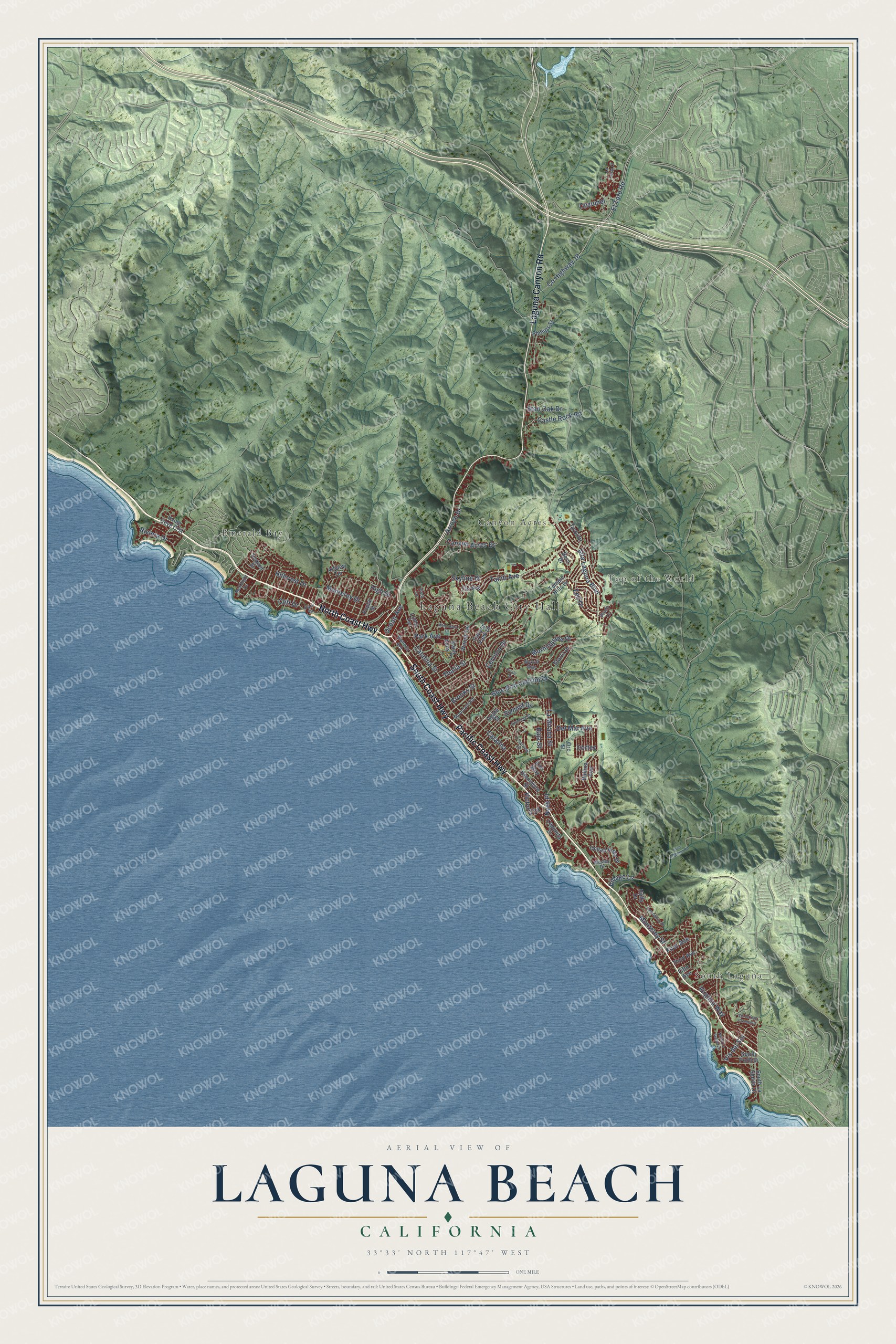
This beautifully detailed map of Laguna Beach, California was created in 2026 using aerial imagery combined with modern topographical, census, street and landmark data. It's a modern aerial view of Laguna Beach in Orange County, California, that combines modern data with a vintage aesthetic. The roads feature printed names, and if you look closely you can find your exact house accurately shown in its correct location.
Explore an aerial view of Laguna Beach, California
On this map you'll find Laguna Beach City Hall, South Laguna, Top of the World, Canyon Acres, Emerald Bay, Pacific Coast Highway, South Coast Highway, North Coast Highway, Laguna Canyon Road, Catalina, Park Avenue, Co Highway 18, and more. Each red shape is a building, so zoom in on the preview and look for yours.
Every town has a first chapter, and Laguna Beach is no exception. The National Park Service puts it this way: "Miller came to Laguna Beach when the coastal resort town was in its heyday as an art colony."
Laguna Beach is a city in Orange County. The Census Bureau counted 23,032 people here in 2020.
Take a closer look at the Laguna Beach map
Names on this map
These names are printed on this map.
Places: Laguna Beach City Hall, South Laguna, Top of the World, Canyon Acres and Emerald Bay.
Streets and roads: Pacific Coast Highway, South Coast Highway, North Coast Highway, Laguna Canyon Road, Catalina, Park Avenue, County Highway 18, El Toro Road, Blue Bird Canyon Drive, Cliff Drive, Skyline Drive, Castle Rock Road.
More street names, A to Z
Agate Street, Aliso Canyon Road, Allview Terrace, Alta Laguna Boulevard, Arroyo Drive, Baja Street, Balboa Avenue, Bern Drive, Brooks Street, Canyon Acres Drive, Canyon View Drive, Catalina Street, Ceanothus Drive, Cerritos Drive, Coral Drive, Cortez, Cozumel, Crestview Drive, Del Mar Avenue, Diamond Street, Fifth Avenue, First Avenue, Glenneyre Street, High Drive, Hillcrest Drive, Holly Drive, Irvine Cove Crst, Kilo Way, La Costa Court, Lagunita Drive, La Mirada Street, Ledroit Street, Loma Terrace, Manzanita Drive, McKnight Drive, Monterey Drive, Monterey Street, Morningside Drive, Mountain Road, North La Senda Drive, Nyes Place, Ocean Avenue, Ocean Vista Drive, Oriole Drive, Oro Street, Park Drive, Phillips Street, Poplar Street, Ramona Avenue, Riviera Drive, Saint Anns Drive, Shady Lane, South La Senda Drive, South Portola, Stan Oak Drive, Starlit Drive, Summit Drive, Tahiti Avenue, Temple Hills Drive, Thalia Street, Third Avenue, Tyrol Drive, Victoria Drive, Village Lane, Virginia Way, Vis del Sol, Vis de San Clemente, Vista Lane, Wendt Terrace, Wesley Drive, Wykoff Way, Zell Drive.
Created by KNOWOL in 2026. The buildings are small red shapes, the roads carry their printed names, and shaded relief shows the shape of the land. The title panel reads "AERIAL VIEW OF LAGUNA BEACH CALIFORNIA" with 33°33' NORTH 117°47' WEST.
Hang it in the hallway, the office or the cabin, or give it to someone who left Laguna Beach and still calls it home. Open the preview and look for a street you know. See sizes and frames for the Laguna Beach map.