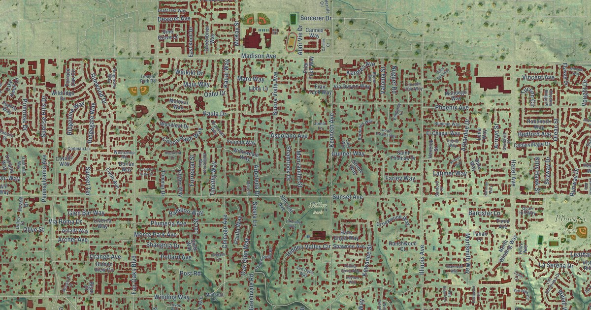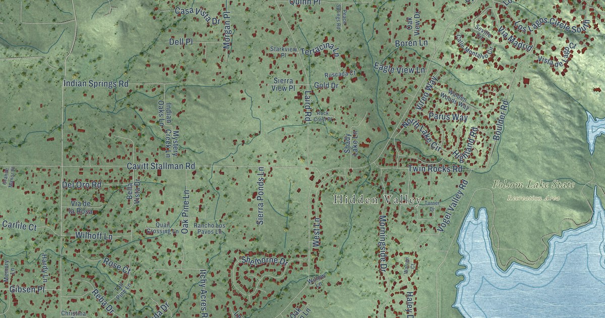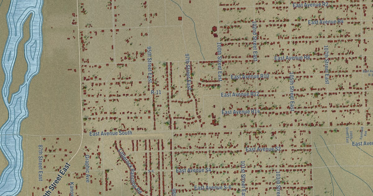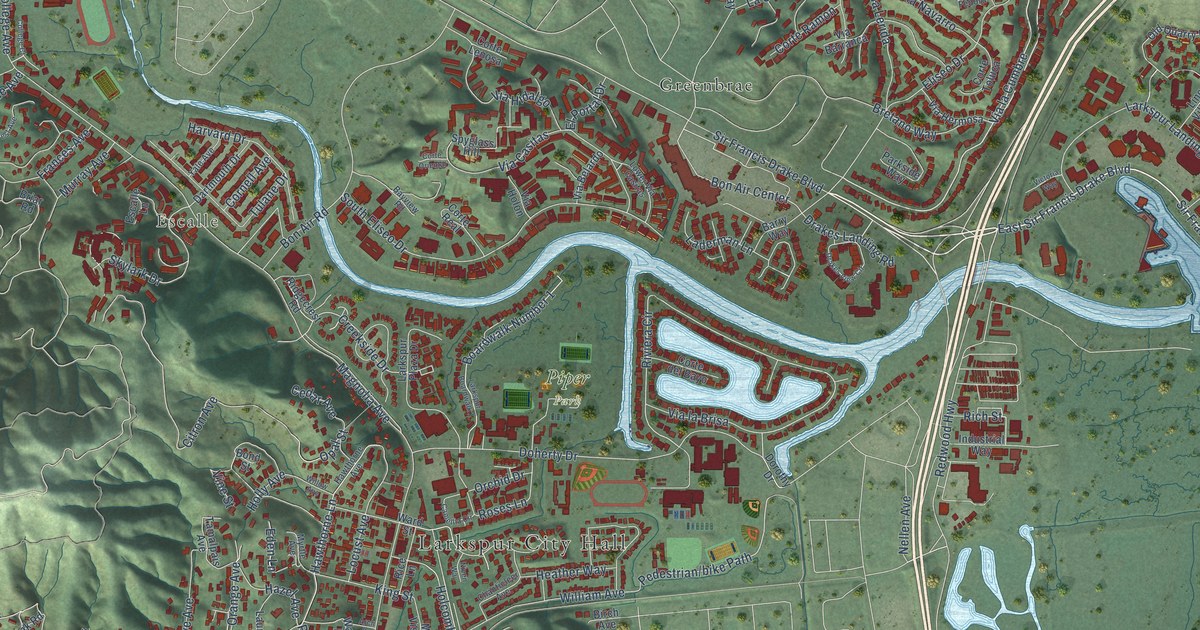
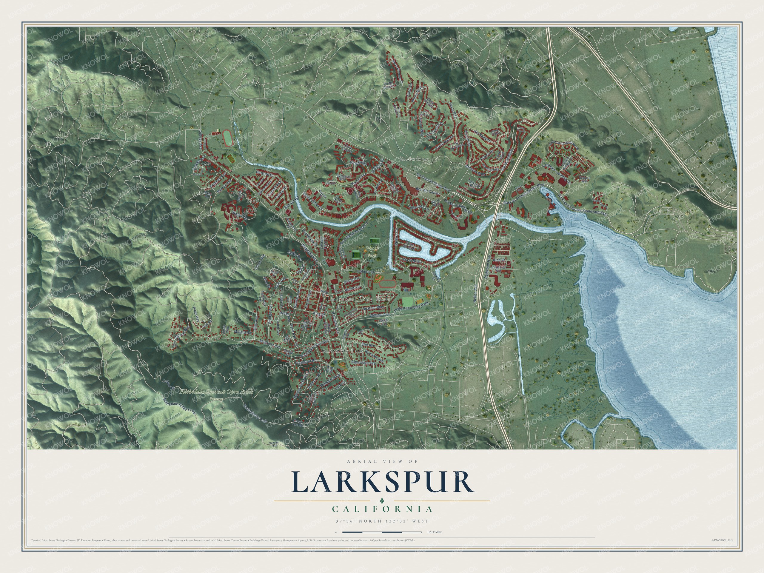
This beautifully detailed map of Larkspur, California was created in 2026 using aerial imagery combined with modern topographical, census, street and landmark data. It's a modern aerial view of Larkspur in Marin County, California, that combines modern data with a vintage aesthetic. The roads feature printed names, and if you look closely you can find your exact house accurately shown in its correct location.
Explore an aerial view of Larkspur, California
On this map you'll find Larkspur City Hall, Escalle, Blithedale Summit Open Space Preserve, Piper Park, Baltimore Park, Greenbrae, East Sir Francis Drake Boulevard, Sir Francis Drake Boulevard East, Via la Cumbre, Redwood Highway, Drakes Landing Road, Wilson Way, and more. Each red shape is a building, so zoom in on the preview and look for yours.
Larkspur has a story worth telling. The record at ohp.parks.ca.gov puts it this way: "This brick kiln on the San Quentin Peninsula is the only surviving structure of the Remillard Brick Company, once the largest brick manufacturer on the Pacific Coast."
Larkspur is a city in Marin County. The Census Bureau counted 13,064 people here in 2020.
Take a closer look at the Larkspur map
Names on this map
These names are printed on this map.
Places: Larkspur City Hall, Escalle, Blithedale Summit Open Space Preserve, Piper Park, Baltimore Park and Greenbrae.
Streets and roads: East Sir Francis Drake Boulevard, Sir Francis Drake Boulevard East, Via la Cumbre, Redwood Highway, Drakes Landing Road, Wilson Way, Crown Road, Riviera Circle, Palm Avenue, Blithedale Ridge Fr Road, Citron Avenue, Hawthorne Lane.
More street names, A to Z
Acacia Avenue, Alexander Avenue, Altura Way, Arch Street, Ardmore Road, Barry Way, Bayview Avenue, Bayview Road, Birch Avenue, Boardwalk Number 1, Bon Air Center, Bon Air Road, Bond Street, Bretano Way, Briar Road, Bridge Road, Camellia Circle, Cedar Avenue, Chanticleer Avenue, Chevy Chase Court, Cielo Drive, College Avenue, College Court, Cornell Avenue, Corte Amado, Corte Baristo, Corte del Bayo, Corte Fedora, Corte Lenosa, Corte Oriental, Corte Placida, Corte Precita, Corte Ramon, Corte Real, Corte Toluca, Creekside Drive, Crown Fire Road, Dartmouth Drive, Doherty Drive, Dorothy Drive, Drake's Way, Drakes Cove Road, Drakes View Circle, Eden Lane, Eliseo Drive, Elm Avenue, El Portal Drive, Escalle Lane, Estelle Avenue, Frances Avenue, Harvard Drive, Hatzic Court, Hawthorne Avenue, Hazel Avenue, Heather Way, Hillcrest Avenue, Holcomb Avenue, Holly Avenue, Huckleberry Trail, Industrial Way, Jones Way, King Street, La Cuesta Drive, Laderman Lane, Lark Court, Larkspur Boardwalk 1, Larkspur Landing Circle, Larkspur Plaza Drive, Laurel Avenue, Lincoln Village Circle, Locust Avenue, Lower Via Casitas, Madrone Avenue, Magnolia Avenue, Marina Vista Avenue, Millard Road, Monte Vista Avenue, Murray Avenue, Myrtle Avenue, Nellen Avenue, Niven Way, North Almenar Drive, Oak Road, Old Quarry Road North, Olive Avenue, Onyx Court, Onyx Street, Opal Street, Orange Avenue, Orchid Drive, Palm Court, Parkside Way, Park Way, Paseo Way, Piedmont Road, Rice Lane, Rich Street, Ridgecrest Road, Ridge Way, Roses Lane, Sir Francis Drake Boulevard, Skylark Drive, South Eliseo Drive, Spyglass Hill, Summit Trail, Tamalpais Avenue, Tulane Drive, Via Barranca, Via Belardo, Via Casitas, Via Cheparro, Via Hermosa, Via Hidalgo, Via Holon, Via la Brisa, Via la Paz, Via Lerida, Via Navarro, Victoria Way, Vine Street, Walnut Avenue, Ward Street, West Baltimore Avenue, William Avenue, Willow Avenue, Wiltshire Avenue, Yale Avenue.
Created by KNOWOL in 2026. The buildings are small red shapes, the roads carry their printed names, and shaded relief shows the shape of the land. The title panel reads "AERIAL VIEW OF LARKSPUR CALIFORNIA" with 37°56' NORTH 122°32' WEST.
It looks right in a kitchen, an office or a den, and it's a gift for anyone who grew up in Larkspur or moved away. Open the preview and find your street. See sizes and frames for the Larkspur map.