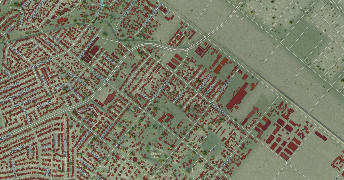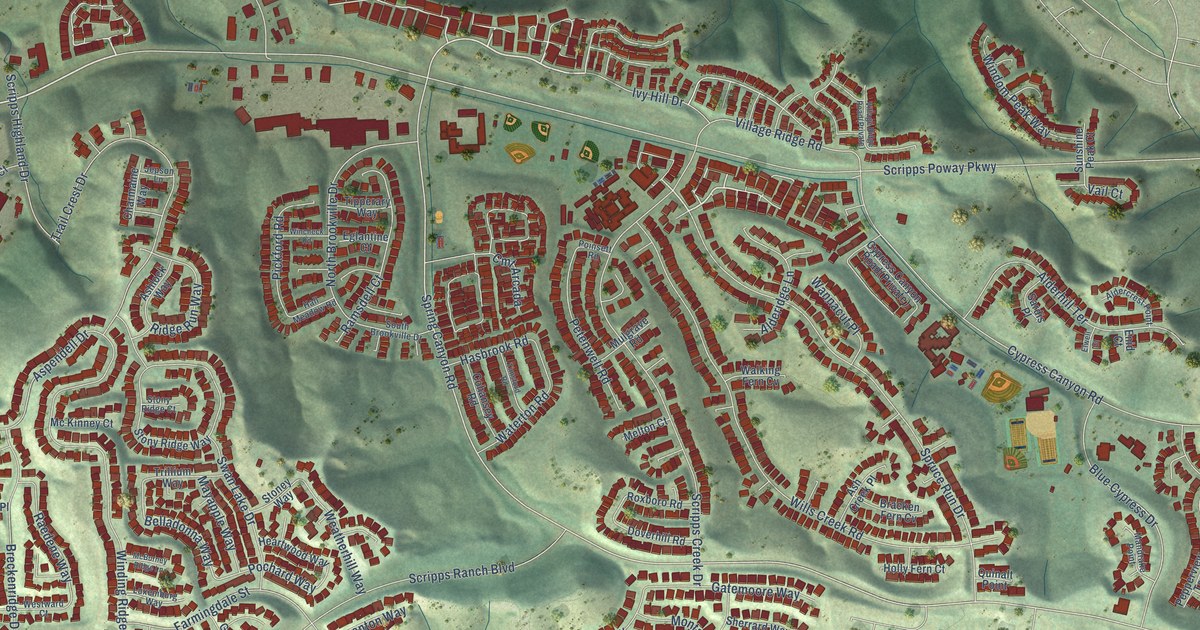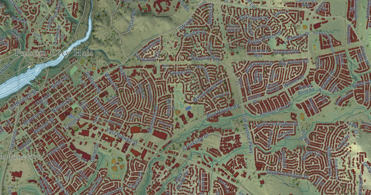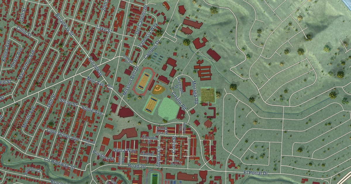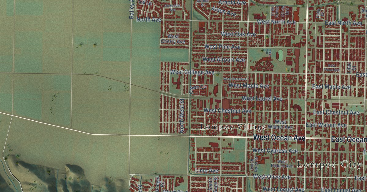
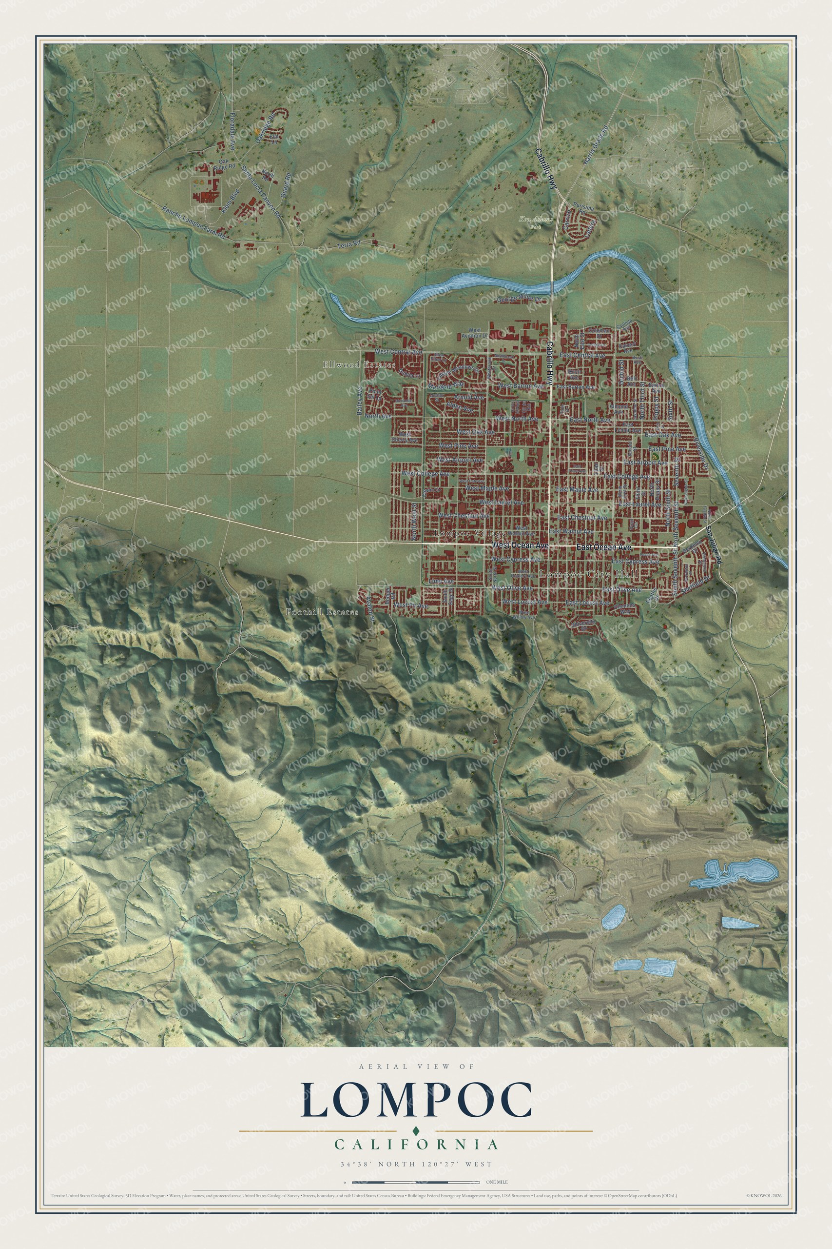
This beautifully detailed map of Lompoc, California was created in 2026 using aerial imagery combined with modern topographical, census, street and landmark data. It's a modern aerial view of Lompoc in Santa Barbara County, California, that combines modern data with a vintage aesthetic. The roads feature printed names, and if you look closely you can find your exact house accurately shown in its correct location.
Explore an aerial view of Lompoc, California
On this map you'll find Lompoc City Hall, Foothill Estates, Ellwood Estates, Ken Adams Park, Lompoc Village, West Ocean Avenue, Cabrillo Highway, East Ocean Avenue, West Olive Avenue, East Olive Avenue, Bailey Avenue, Riverside Drive, and more. Each red shape is a building, so zoom in on the preview and look for yours.
Lompoc has a story worth telling. The record at ohp.parks.ca.gov puts it this way: "The ruins at this site are part of the original Mission La Purísima, founded by Padre Fermín de Lasuén on December 8, 1787, as the 11th in the chain of Spanish Missions in California."
Lompoc is a city in Santa Barbara County. The Census Bureau counted 44,444 people here in 2020.
Take a closer look at the Lompoc map
Names on this map
These names are printed on this map.
Places: Lompoc City Hall, Foothill Estates, Ellwood Estates, Ken Adams Park and Lompoc Village.
Streets and roads: West Ocean Avenue, Cabrillo Highway, East Ocean Avenue, West Olive Avenue, East Olive Avenue, Bailey Avenue, Riverside Drive, Harris Grade Road, East College Avenue, North Third Street, North Seventh Street, East Chestnut Avenue.
More street names, A to Z
Alden Avenue, Alexander Avenue, Almond Avenue, Archer Street, Arnold Avenue, Avalon Street, Barrington Place, Barton Avenue, Beattie Drive, Bell Avenue, Berkeley Drive, Birch Avenue, Bodger Road, Bush Avenue, Calvert Avenue, Canfield Avenue, Carrizo, Clemens Way, Cll de la Vega, Cll de Oro, Colbert Drive, Coleman Drive, Crown Circle, Dahlia Lane, East Airport Avenue, East Barton Avenue, East Central Avenue, East Cypress Avenue, East Laurel Avenue, East Lemon Avenue, East Locust Avenue, East Maple Avenue, East North Avenue, East Oak Avenue, East Pine Avenue, East Prune Avenue, East Walnut Avenue, Elm Lane, Fifth Street, Floradale Avenue, George Miller Drive, Glen Ellen Lane, Guard Road, Jasmine Street, Klein Boulevard, Ladera, Lilac Street, Lime Avenue, Marigold Way, North Avenue, Northbrook Drive, North East Street, North Eighth Street, North First Street, North Poppy Street, North Road, North Sixth Street, North Twelfth Street, North West Street, Oakridge Road, Oak Ridge Road, Orchid Street, Palm Drive, Peach Avenue, Point Sal Lp, Poppy Street, Princeton Place, Purisima Road, Quail Circle, Rancho Lompoc Farm Road, San Julian Road, Santa Lucia Canyon Road, Second Street, Seventh Street, Sheffield Drive, Sixth Street, South North Street, South Sage Street, South Seventh Street, Terra Road, Third Street, University Drive, Village Meadows Drive, West Airport Avenue, West Aviation Drive, West Barton Avenue, Westbrook Drive, West Central Avenue, West Cherry Avenue, West Chestnut Avenue, West College Avenue, West Cypress Avenue, West Date Avenue, West Fir Avenue, West Hickory Avenue, West Laurel Avenue, West Locust Avenue, West Maple Avenue, West North Avenue, West Oak Avenue, West Pine Avenue, West Walnut Avenue, West Willow Avenue.
Created by KNOWOL in 2026. The buildings are small red shapes, the roads carry their printed names, and shaded relief shows the shape of the land. The title panel reads "AERIAL VIEW OF LOMPOC CALIFORNIA" with 34°38' NORTH 120°27' WEST.
It looks right in a kitchen, an office or a den, and it's a gift for anyone who grew up in Lompoc or moved away. Open the preview and find your street. See sizes and frames for the Lompoc map.