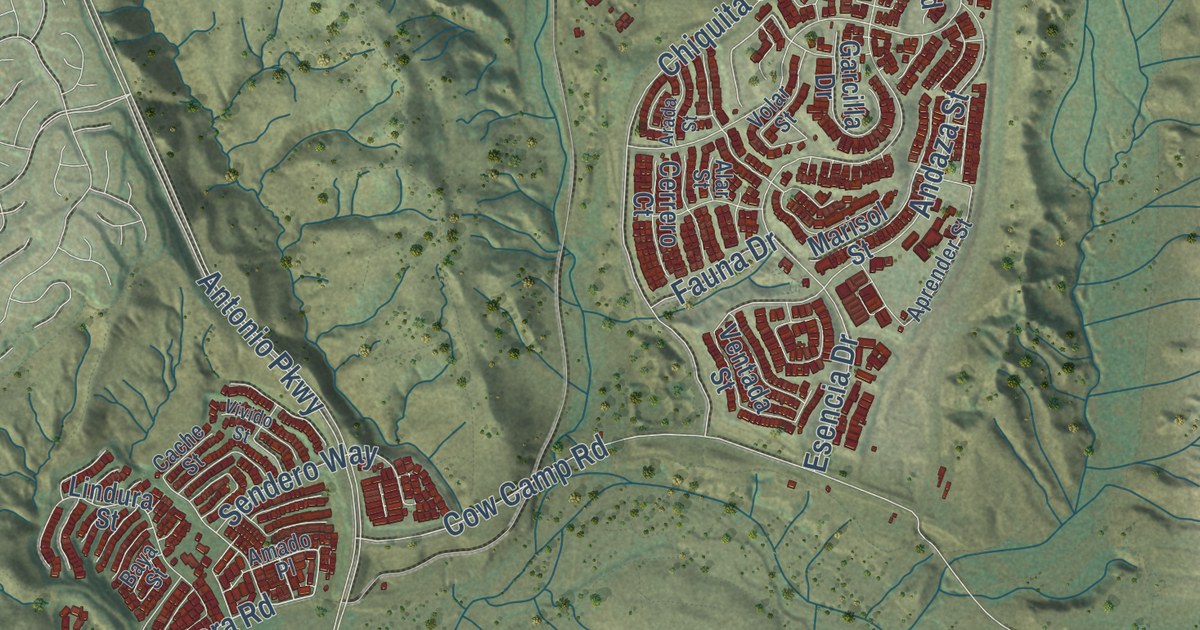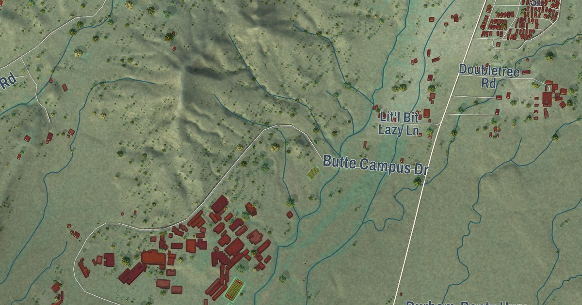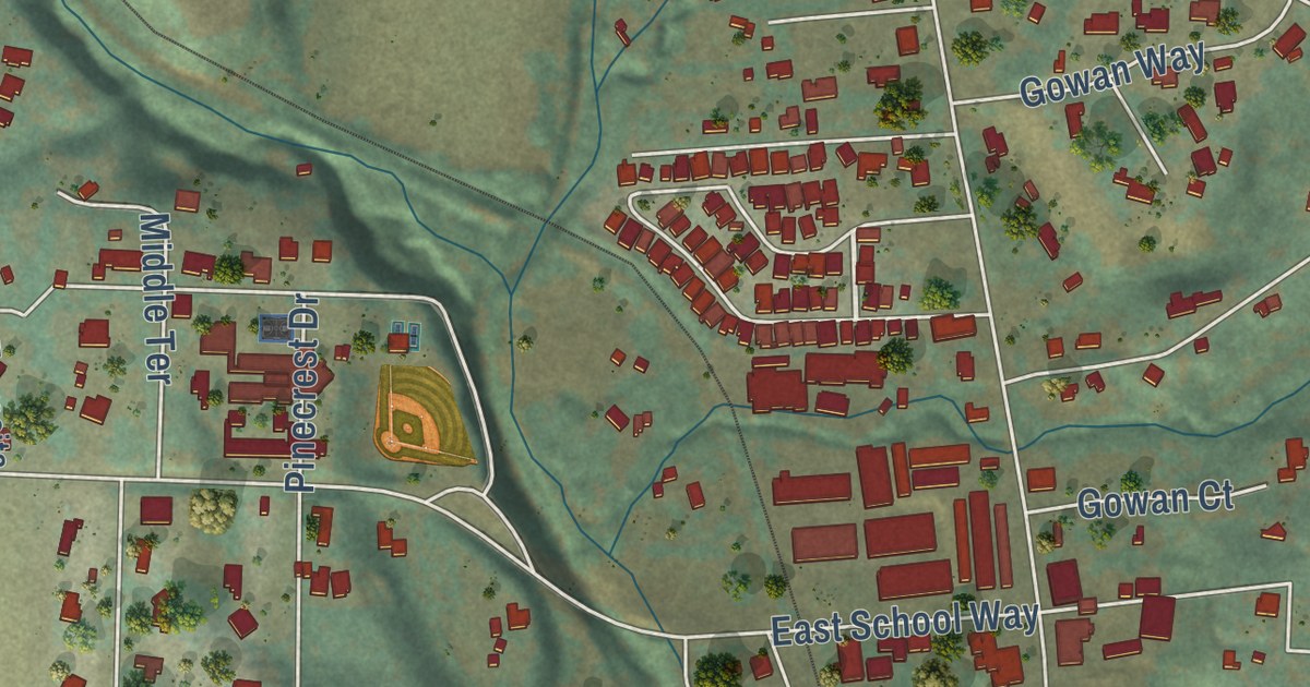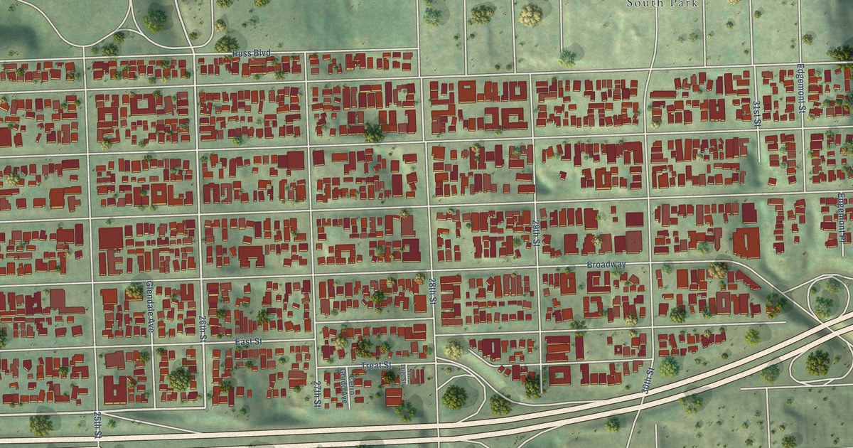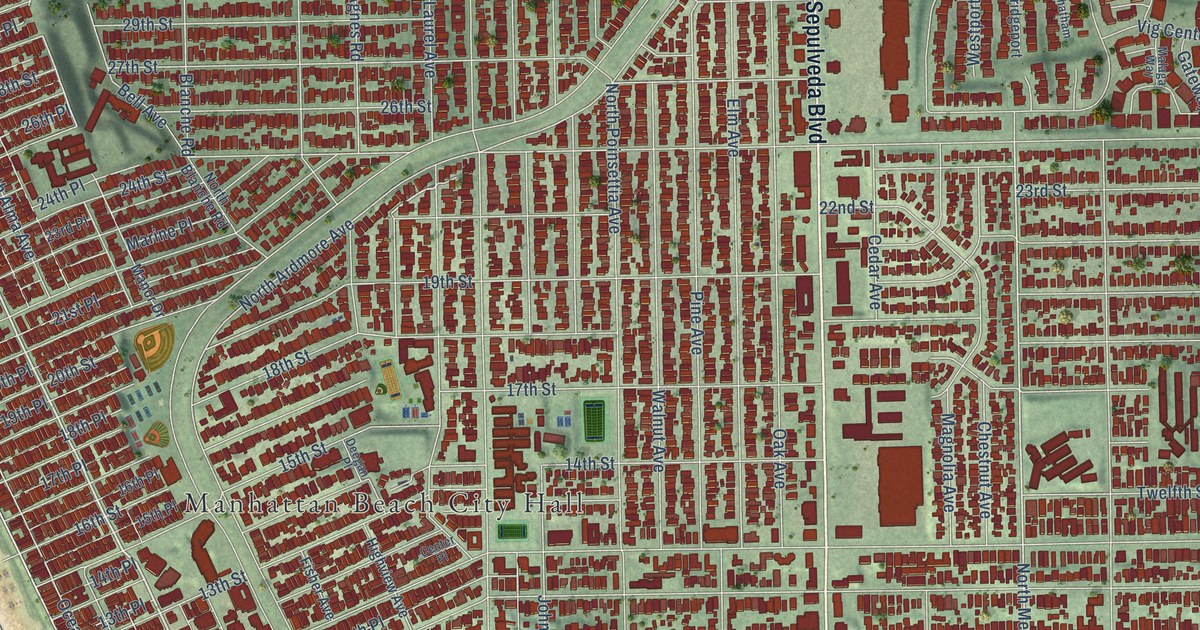
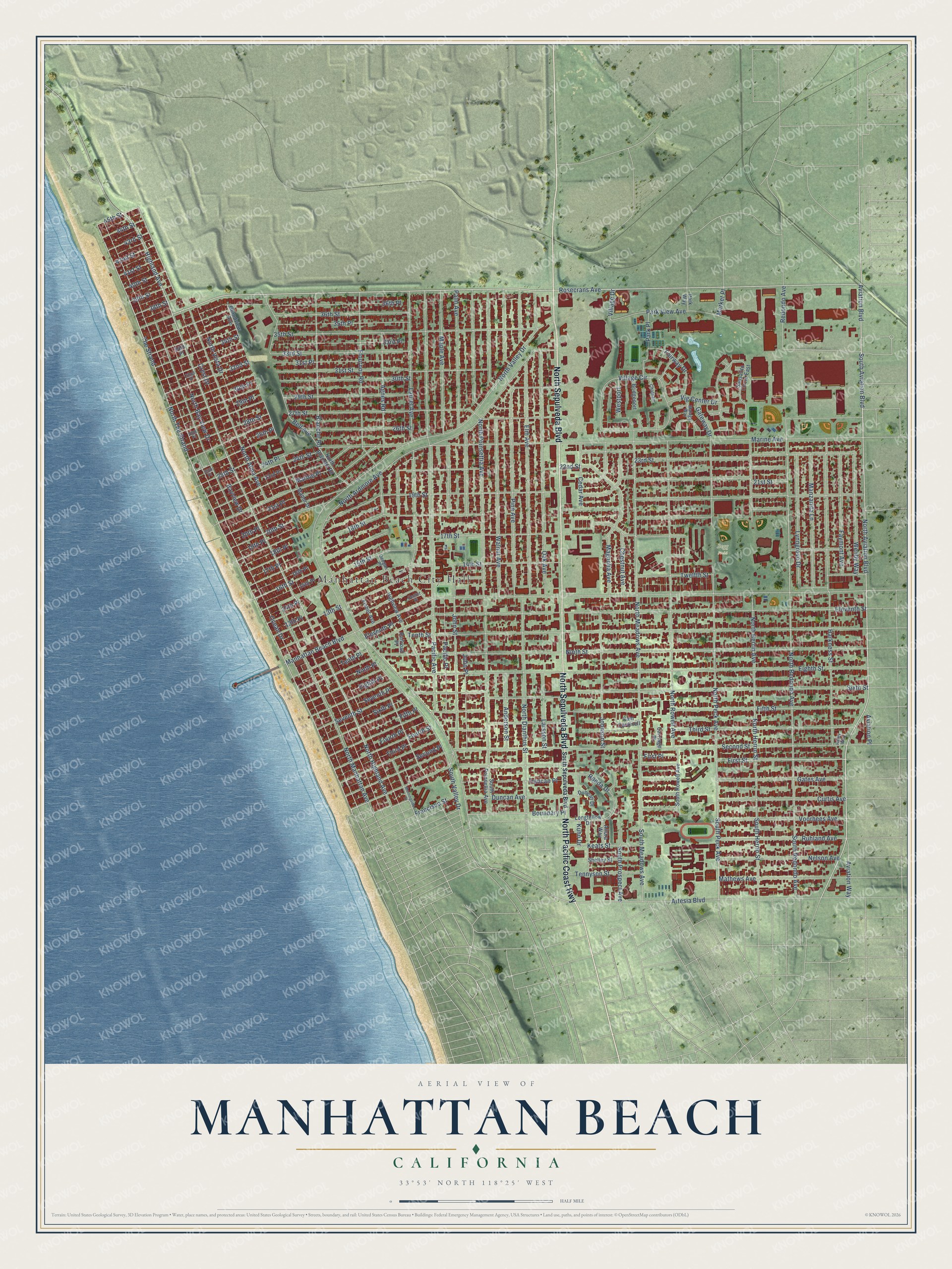
This beautifully detailed map of Manhattan Beach, California was created in 2026 using aerial imagery combined with modern topographical, census, street and landmark data. It’s a one-of-a-kind view of Manhattan Beach that combines accurate data with a vintage aesthetic. The map shows every building in its true location, many of the roads carry their names, and the shaded topographic relief shows the shape of the land.
Explore an aerial view of Manhattan Beach, California
On the map you’ll find Manhattan Beach City Hall and Begg Field, along with North Sepulveda Boulevard, North Pacific Coast Highway, Rosecrans Avenue, North Highland Avenue, First Street, Aviation Boulevard, North Aviation Boulevard, South Aviation Boulevard, Highland Avenue, South Peck Avenue, and more. If you look closely you can even find your house accurately drawn in its correct location. Zoom in on the preview to look for yours.
Did you know this piece of Manhattan Beach, California history?
From the California State Parks: "Designed by City Engineer A.L. Harris, this pier was constructed by the City of Manhattan Beach during the years 1917-1920."
Take a closer look at the Manhattan Beach map
Street and place names on the Manhattan Beach, California map
These names are printed on the map of Manhattan Beach, California.
Places: Manhattan Beach City Hall and Begg Field.
Streets and roads: North Sepulveda Boulevard, North Pacific Coast Highway, Rosecrans Avenue, North Highland Avenue, First Street, Aviation Boulevard, North Aviation Boulevard, South Aviation Boulevard, Highland Avenue, South Peck Avenue, The Strand, North Meadows Avenue.
More street names, A to Z
13th Place, 13th Street, 14th Place, 14th Street, 15th Place, 15th Street, 16th Place, 16th Street, 17th Place, 17th Street, 18th Place, 18th Street, 19th Place, 19th Street, 20th Place, 20th Street, 21st Place, 21st Street, 22nd Street, 23rd Place, 23rd Street, 24th Place, 24th Street, 25th Place, 25th Street, 26th Place, 26th Street, 27th Street, 28th Place, 28th Street, 29th Place, 29th Street, 30th Place, 30th Street, 31st Place, 31st Street, 32nd Place, 32nd Street, 33rd Place, 33rd Street, 34th Place, 34th Street, 35th Place, 35th Street, 36th Place, 36th Street, 38th Street, 39th Street, 40th Street, 41st Street, 42nd Street, 43rd Street, 44th Street, 45th Street, Agnes Road, Altura Way, Anderson Street, Artesia Boulevard, Aviation Place, Aviation Way, Bayview Drive, Bell Avenue, Blanche Road, Boundary Place, Bridgeport, Cam Cardinell, Carriage Place, Cedar Avenue, Center Place, Chatham, Chestnut Avenue, Crest Drive, Curtis Avenue, Deegan Place, Duncan Avenue, Duncan Drive, Duncan Place, Eighth Place, Eighth Street, Eleventh Place, Eleventh Street, Elm Avenue, Fairway Drive, Faymont Avenue, Fifth Place, Fifth Street, First Place, Fisher Avenue, Flournoy Road, Fourth Place, Fourth Street, Francisco Street, Gates Avenue, Gateway Drive, Grandview Avenue, Haley Way, Harkness Street, Highview Avenue, John Place, Johnson Street, John Street, Keats Street, Kuhn Drive, Larsson Street, Laurel Avenue, Longfellow Drive, Lynngrove Drive, Magnolia Avenue, Malaga Way, Manhattan Beach Boulevard, Manor Drive, Manzanita Lane, Maple Avenue, Marine Avenue, Marine Place, Market Place, Mathews Avenue, Morningside Drive, Nelson Avenue, Ninth Place, Ninth Street, North Alma Avenue, North Ardmore Avenue, North Bay View Drive, North Blanche Road, North Dianthus Street, North Herrin Avenue, North Herrin Street, North Manhattan Avenue, North Peck Avenue, North Poinsettia Avenue, North Redondo Avenue, North Rowell Avenue, North The Strand, North Valley Drive, North Vista Drive, Oak Avenue, Ocean Drive, Pacific Avenue, Pacific Place, Palm Avenue, Park Place, Park View Avenue, Park Way, Pine Avenue, Railroad Place, Redondo Avenue, Ronda Drive, Ruhland Avenue, Sausalito Circle East, Second Place, Second Street, Seventh Place, Seventh Street, Shelley Street, Sixth Place, Sixth Street, South Herrin Street, South Meadows Avenue, South Poinsettia Avenue, South Prospect Avenue, South Redondo Avenue, South Rowell Avenue, South Sepulveda Boulevard, South Valley Drive, Tennyson Street, Tenth Place, Tenth Street, Third Place, Third Street, Twelfth Street, Vig Center Drive, Village Circle, Village Drive, Voorhees Avenue, Walnut Avenue, Wendy Way, Westport.
See the Manhattan Beach, California map on a wall
The Manhattan Beach map as an 18 x 24 inch print in a black frame.

This beautifully detailed map of Manhattan Beach makes an attractive addition to your office, library, or den, and it can even be used to teach children the geography and history of the area. It also makes a great gift for anyone who grew up in Manhattan Beach or moved away. When you’re done exploring, click here to get your copy of the Manhattan Beach map.