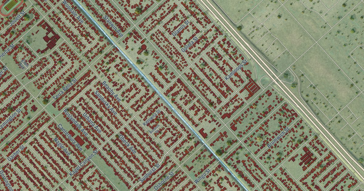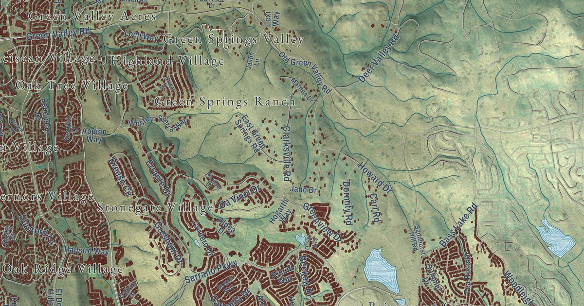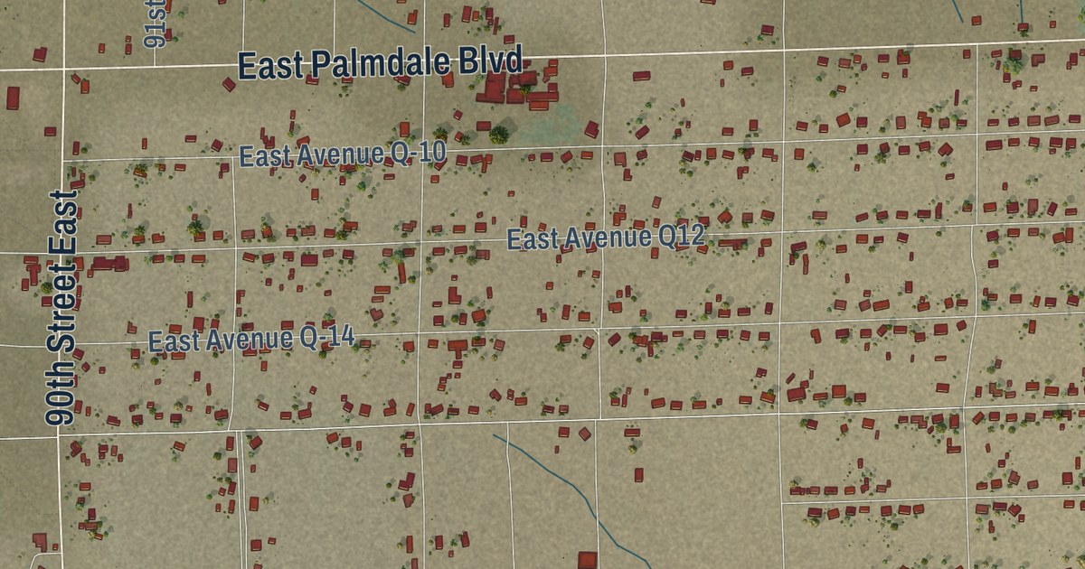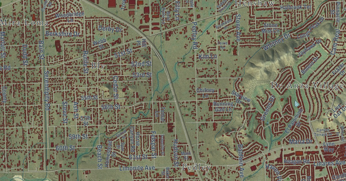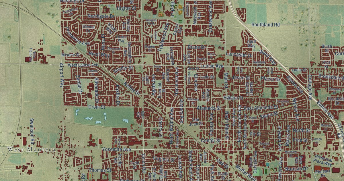
This beautifully detailed map of Manteca, California was created in 2026 using aerial imagery combined with modern topographical, census, street and landmark data. It’s a one-of-a-kind view of Manteca that combines accurate data with a vintage aesthetic. The map shows every building in its true location, many of the roads carry their names, and the shaded topographic relief shows the shape of the land.
Explore an aerial view of Manteca, California
On the map you’ll find West Manteca, along with East Yosemite Avenue, Louise Avenue, South Main Street, Moffat Boulevard, Industrial Park Drive, Edison Street, Grafton Street, Oleander Avenue, Moffet Boulevard, Spreckels Avenue, Southland Road, and more. If you look closely you can even find your house accurately drawn in its correct location. Zoom in on the preview to look for yours.
Did you know this piece of Manteca, California history?
From the San Joaquin County History: "The Union Church, first used as a Brethren or Dunkard Church, was built in 1912 in North Manteca, the Manteca Improvement company having given them two lots for that purpose."
Take a closer look at the Manteca map
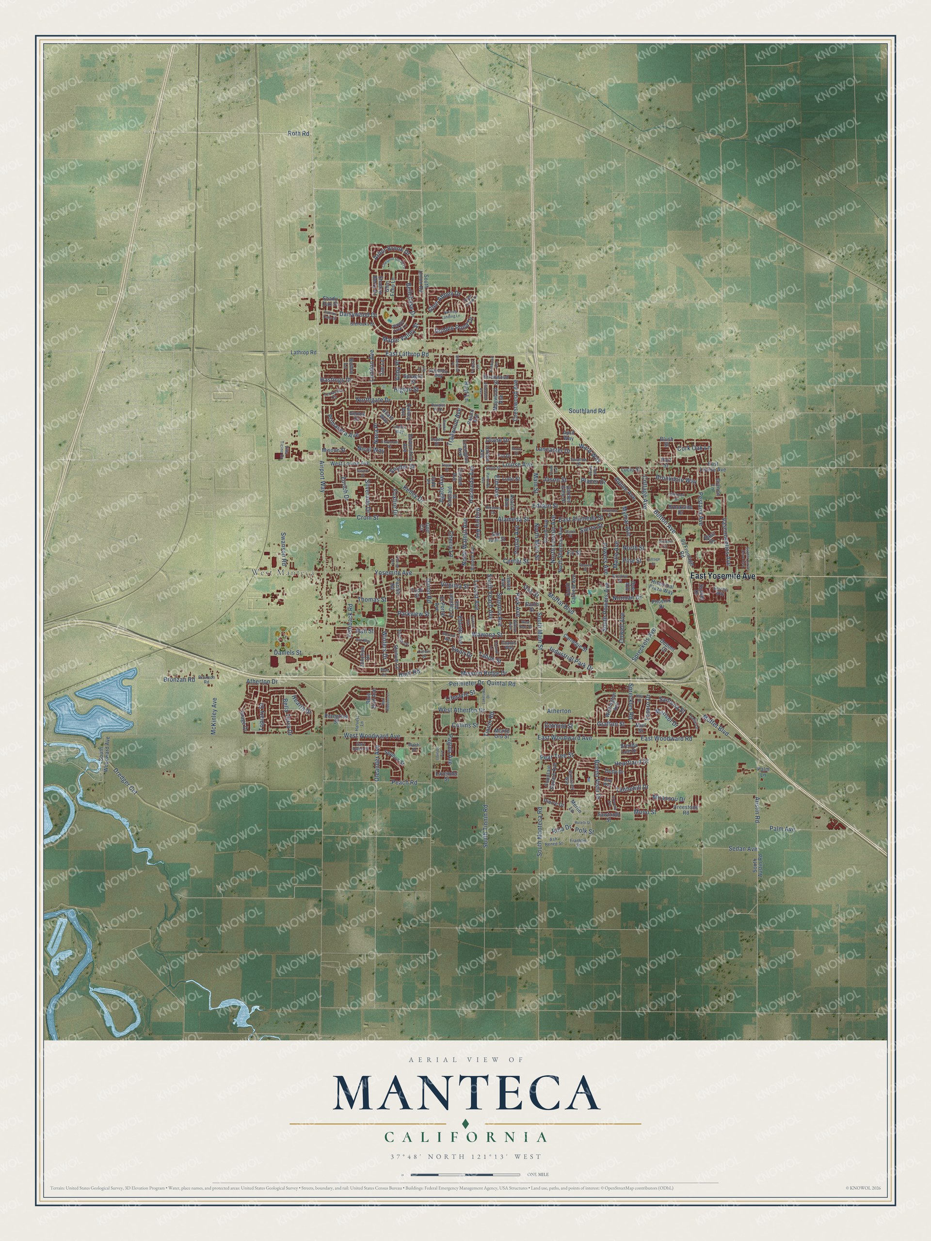
Street and place names on the Manteca, California map
These names are printed on the map of Manteca, California.
Places: West Manteca.
Streets and roads: East Yosemite Avenue, Louise Avenue, South Main Street, Moffat Boulevard, Industrial Park Drive, Edison Street, Grafton Street, Oleander Avenue, Moffet Boulevard, Spreckels Avenue, Southland Road, Santona Street.
More street names, A to Z
99 Frontage Road, Abby Place, Acacia Avenue, Agate Avenue, Airport Way, Alameda Street, Alba Street, Almond Avenue, Alpine Avenue, Amy Way, April Way, Arbor Brook Drive, Ash Renee Street, Aspen Drive, Atherton, Atherton Drive, Austin Road, Autumn Oaks Street, Avo Way, Azevedo Avenue, Basil Drive, Bella Terra Drive, Bellchase Drive, Birchwood Street, Blossom Drive, Blue Bird Avenue, Blush Street, Bolton Lane, Brenda Lee Drive, Bristow Street, Bronzan Road, Bronzon Road, Brookdale Way, Brookside Drive, Buena Vista Drive, Bunker Lane, Button Avenue, Carmel Avenue, Carnegie Street, Catmint Street, Center Street, Chablis Way, Cherry Lane, Chestnut Grove Drive, Chianti Lane, Claremont Drive, Collins Street, Cork Oak Lane, Corwin Drive, Cottage Avenue, Cottage Court, Cowell Avenue, Crestwood Avenue, Crom Street, Daisywood Drive, Dalia Lane, Daniels Street, Deerpark Drive, Devonshire Avenue, Diane Drive, Dody Drive, Douglas Fir Drive, Dredger Cut, Dupont Court, Dyer Avenue, East Alameda Street, East Lathrop Road, East Louise Avenue, East Woodward Avenue, East Woodward Road, Ebbetts Avenue, El Capitan Avenue, Elm Avenue, El Portal Avenue, Emerald Place, Eva Drive, Fir Street, Fishback Road, Forest Lane, Fountain Square Avenue, Foxfire Drive, Frank Avenue, Franklin Street, Freestone Road, Garden Circle Drive East, Garden Gate Drive, Gary Owen Street, Genoa Drive, Glen Abbey Drive, Glen Echo Lane, Glenoaks Street, Golden Pond Drive, Gold Street, Golf Circle, Granite Lane, Grant Avenue, Hacienda Avenue, Harvest Lane, Hastings Drive, Hearth Drive, Heartland Drive, Higton Street, Hilary Way, Historical Plaza Way, Hoyt Lane, Hunt Road, Image Drive, Jade Place, Jason Street, Jessie Avenue, Junction Drive, Kelley Drive, Lakeside Drive, Lancaster Drive, Lathrop Road, Lavender Street, Lexington Avenue, Lifestyle Street, Lily Lane, Linden Way, Locust Avenue, Lode Street, London Avenue, Lorene Avenue, Lovejoy Avenue, Lucio Street, Maehl Drive, Main Street, Maple Valley Street, Marie Avenue, Marisol Drive, Marty Drive, Maywood Avenue, McKinley Avenue, Merced Way, Merlin Lane, Miel Street, Mirassou Drive, Misone Street, Mission Ridge Drive, Mitchell Lane, Mohr Circle, Mono Street, Monte Oro Street, Mylnar Avenue, Nana Place, Nicol Way, Norman Drive, Northgate Drive, North Lincoln Avenue, North Main Street, North Sherman Avenue, North Street, North Walnut Avenue, Nutmeg Landing Lane, Oak Street, Olivewood Avenue, Pacific Road, Pagola Avenue, Pajaro Avenue, Palm Avenue, Palm Lane, Palomino Street, Park Avenue, Parkside Avenue, Parkview Street, Peach Road, Pear Tree Street, Pepper Tree Lane, Peregrine Street, Perimeter Drive, Pestana Avenue, Phoenix Drive, Pierre Drive, Pine Street, Placer Drive, Polk Street, Poplar Avenue, Port Street, Powers Avenue, Primavera Avenue, Quincy Avenue, Quintal Road, Rail Street, Red Ribbons Lane, Redwood Avenue, Rina Drive, Rotelli Street, Roth Road, Sanctuary Way, San Juan Street, Savory Drive, Sawtooth Street, Sedan Avenue, Sephos Street, Sequoia Avenue, Serene Way, Shadow Berry Drive, Shady Oak Street, Sherwood Place, Sierra Street, Silverado Drive, Snyder Street, Sonora Avenue, South Austin Road, South Garfield Avenue, South Manteca Road, South Powers Avenue, South Street, South Tinnin Road, South Union Road, South Veach Avenue, South Woodward Avenue, Souza Boulevard, Sprague Street, Spreckles Road, Stewart Street, Stonum Lane, Sugar Creek Lane, Sunfish Drive, Sunset Drive, Sutter Street, Swallow Drive, Swan Drive, Swanson Road, Tahoe Street, Tannehill Drive, Terracina Circle, Tesoro Drive, Thomas Street, Tinnin Road, Todd Street, Topaz Court, Topiary Drive, Trailwood Avenue, Trevino Avenue, Union Road, Vasconcellos Avenue, Victory Avenue, Villa Ticino Drive, Virginia Street, Ward Way, Wawona Street, Wellington Avenue, Wembley Way, West Atherton Drive, West Kent Street, West Louise Avenue, West Woodward Avenue, Willow Avenue, Winters Drive, Yosemite Avenue, Zoe Lane, Zurich Drive.
See the Manteca, California map on a wall
The Manteca map as an 18 x 24 inch print in a black frame.

This beautifully detailed map of Manteca makes an attractive addition to your office, library, or den, and it can even be used to teach children the geography and history of the area. It also makes a great gift for anyone with Manteca roots. When you’re done exploring, click here to get your copy of the Manteca map.