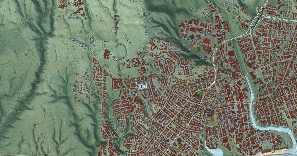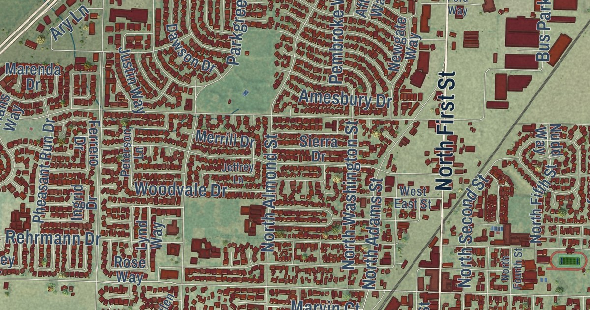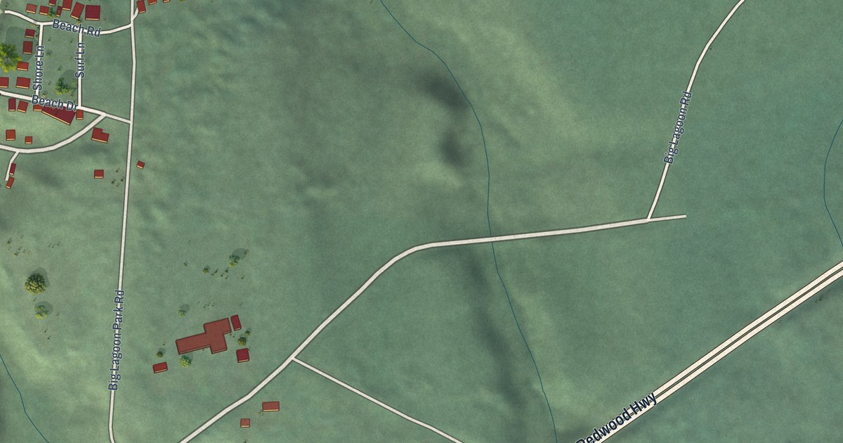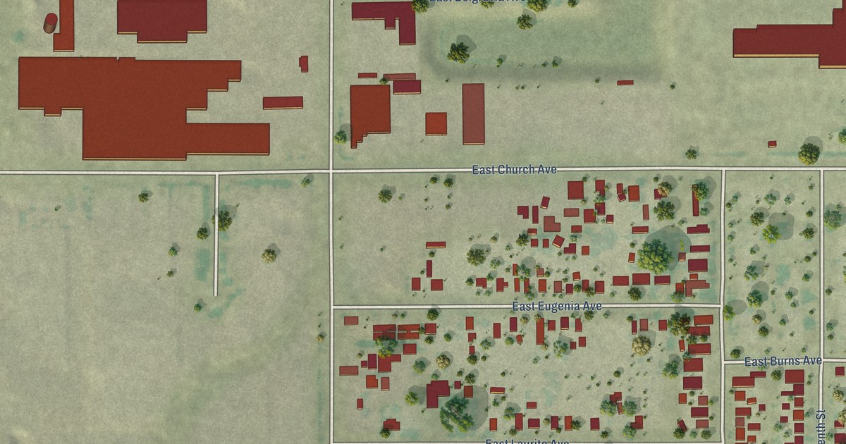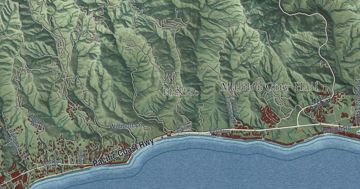
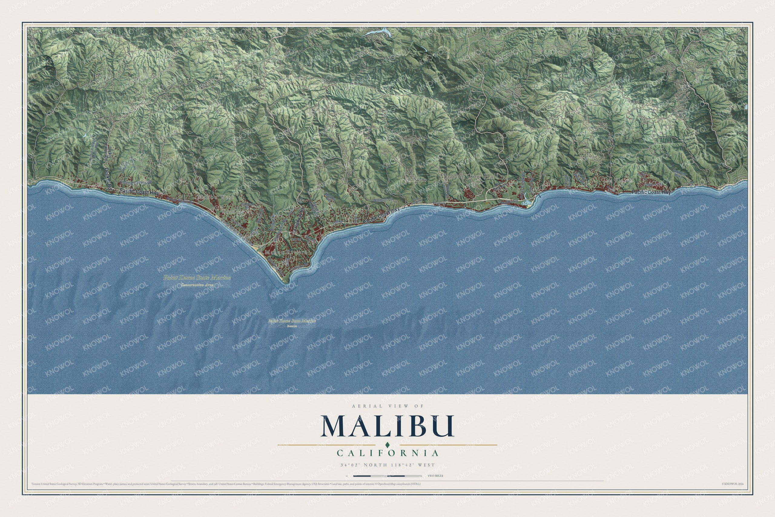
This beautifully detailed map of Malibu, California was created in 2026 using aerial imagery combined with modern topographical, census, street and landmark data. It’s a one-of-a-kind view of Malibu that combines accurate data with a vintage aesthetic. The map shows every building in its true location, many of the roads carry their names, and the shaded topographic relief shows the shape of the land.
Explore an aerial view of Malibu, California
On the map you’ll find Malibu City Hall, Las Flores, Malibu West, Trancas, Point Dume State Marine Conservation Area, Point Dume State Marine Reserve, El Nido, and Mahou Riviera, along with Pacific Coast Highway, Decker Road, Malibu Road, Encinal Canyon Road, and more. If you look closely you can even find your house accurately drawn in its correct location. Zoom in on the preview to look for yours.
Did you know this piece of Malibu, California history?
From the National Register of Historic Places: "The Stevens House was Lautner’s first of several residential buildings he constructed in Malibu, and the first in the Malibu Colony."
Take a closer look at the Malibu map
Street and place names on the Malibu, California map
These names are printed on the map of Malibu, California.
Places: Malibu City Hall, Las Flores, Malibu West, Trancas, Point Dume State Marine Conservation Area, Point Dume State Marine Reserve, El Nido and Mahou Riviera.
Streets and roads: Pacific Coast Highway, Decker Road, Malibu Road, Encinal Canyon Road, Broad Beach Road, Bonsall Drive, Serra Road, Zuma Beach Access Road, Busch Drive, Heathercliff Road, Willmott Lane, Birdview Avenue.
More street names, A to Z
Bayshore Drive, Big Rock Drive, Budwood Mtwy, Carbon Beach Terrace, Carbon Mesa Road, Cavalleri Road, Cliffside Drive, Corral Canyon Road, County Highway N9, Cross Creek Road, Cuthbert Road, Decker Canyon Road, Dume Drive, Malibu Canyon Road, Meadows Court, Merritt Drive, Morning View Drive, Murphy Way, Nicholas Ridge Motor Way, Old Road, Pena Road, Potrero Road, Puerco Canyon Road, Rambla Vis, Ramirez Canyon Road, Seaboard Road, Selfridge Drive, Via Acero, Vis del Preseas, Zumirez Drive.
See the Malibu, California map on a wall
The Malibu map as an 18 x 24 inch print in a black frame.

This beautifully detailed map of Malibu makes an attractive addition to your office, library, or den, and it can even be used to teach children the geography and history of the area. It also makes a great gift for someone who left Malibu and still calls it home. When you’re done exploring, click here to get your copy of the Malibu map.