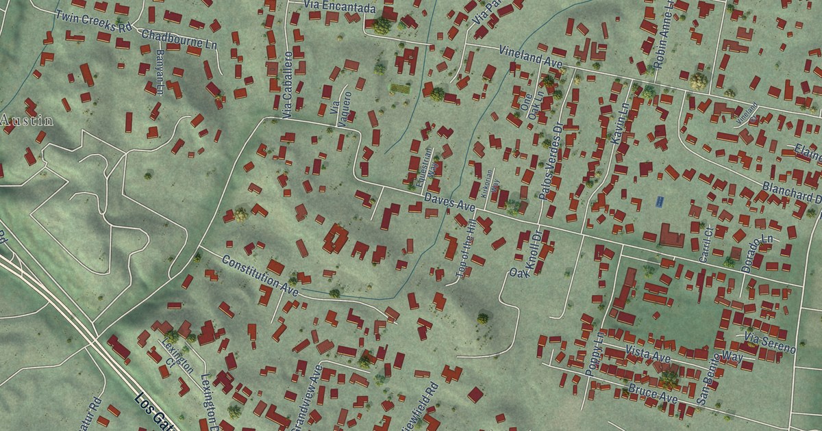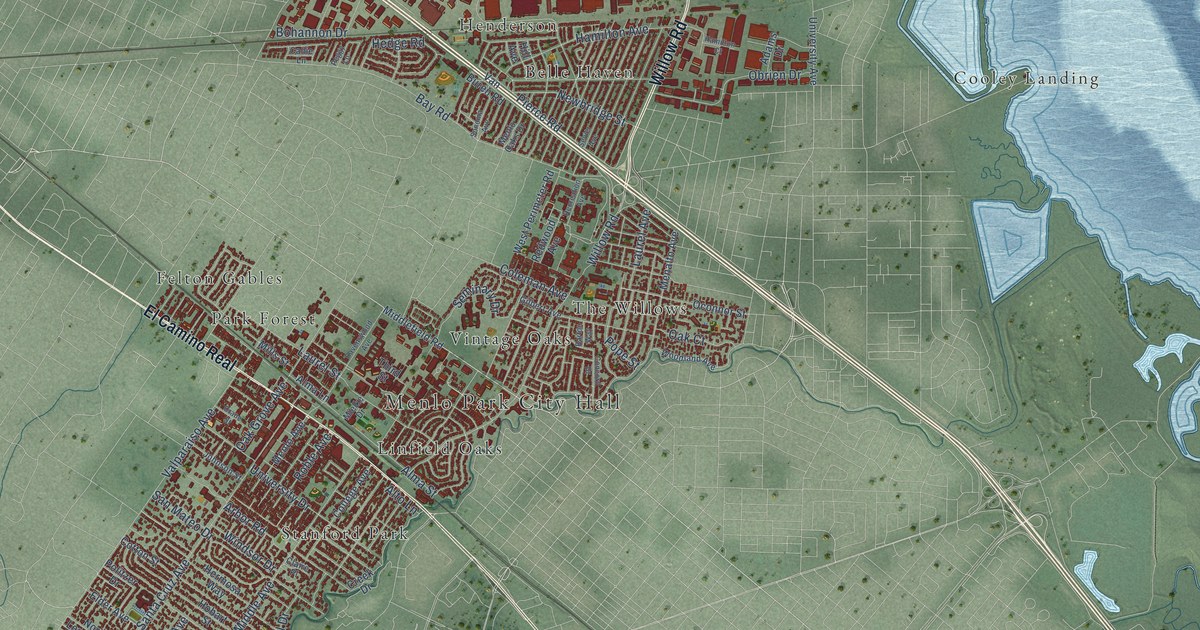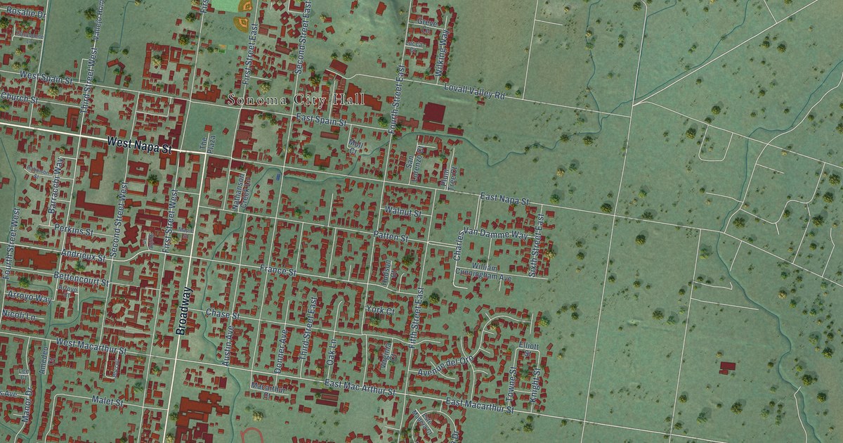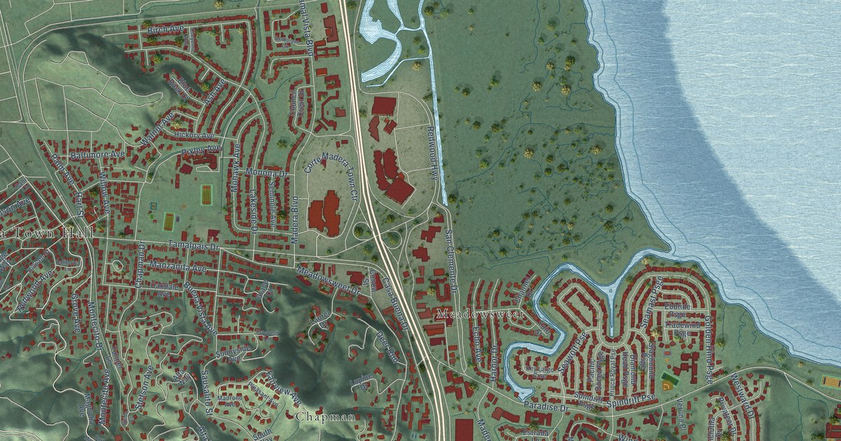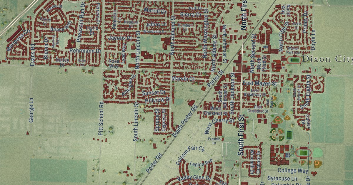
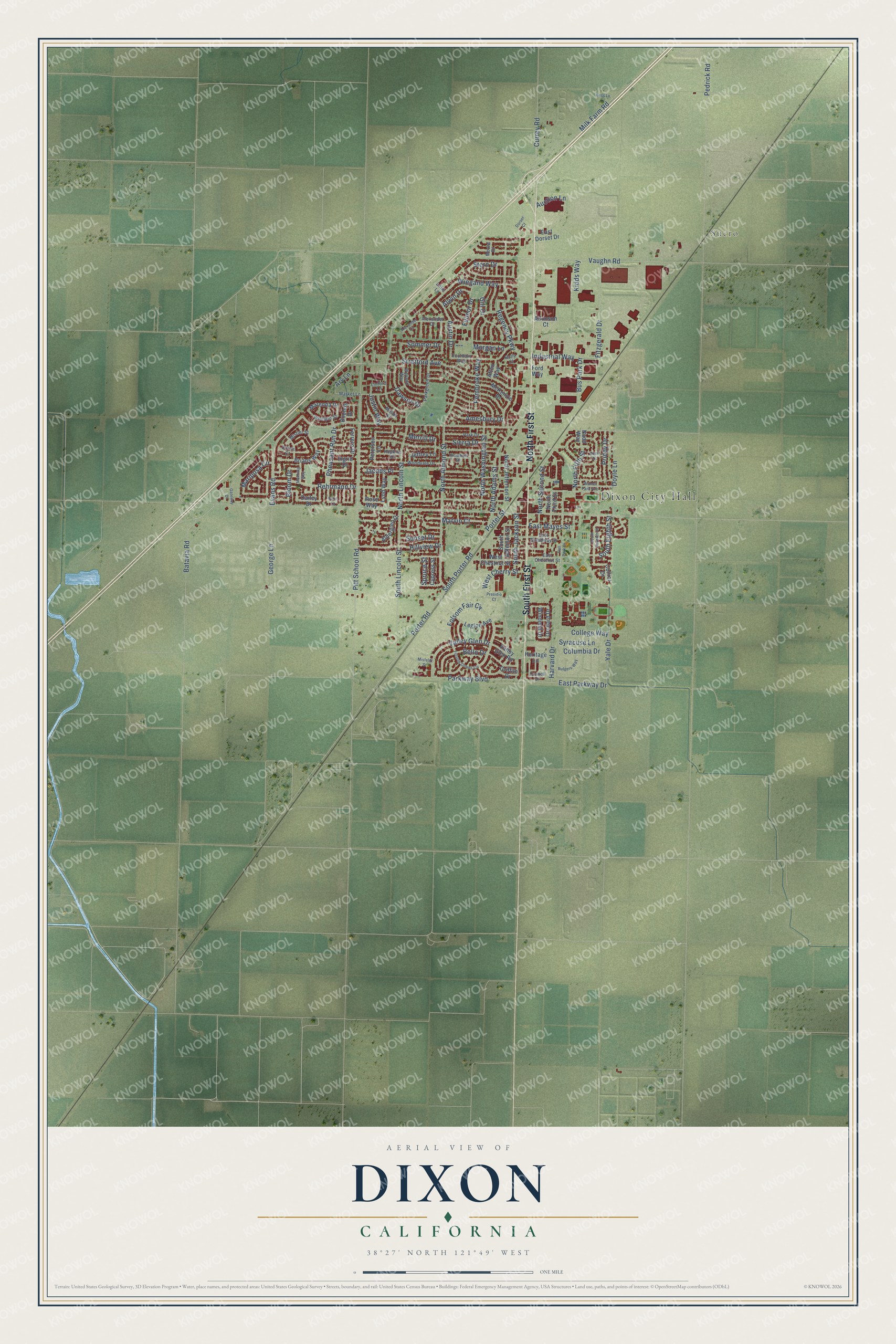
This beautifully detailed map of Dixon, California was created in 2026 using aerial imagery combined with modern topographical, census, street and landmark data. It's a modern aerial view of Dixon in Solano County, California, that combines modern data with a vintage aesthetic. The roads feature printed names, and if you look closely you can find your exact house accurately shown in its correct location.
Explore an aerial view of Dixon, California
On this map you'll find Dixon City Hall, Sucro, North First Street, South First Street, Batavia Road, College Way, East Mayes Street, East Parkway Drive, Yale Drive, Stern Drive, North Adams Street, Merrill Drive, and more. Each red shape is a building, so zoom in on the preview and look for yours.
Here is a piece of Dixon history, in the words of the record. The National Register of Historic Places puts it this way: "Narrative Statement of Significance and Historical Context
Se
ttled in 1868, Dixon was first known as Dicksonville."
Dixon is a city in Solano County. The Census Bureau counted 18,988 people here in 2020.
Take a closer look at the Dixon map
Names on this map
These names are printed on this map.
Places: Dixon City Hall and Sucro.
Streets and roads: North First Street, South First Street, Batavia Road, College Way, East Mayes Street, East Parkway Drive, Yale Drive, Stern Drive, North Adams Street, Merrill Drive, North Lincoln Street, South Porter Road.
More street names, A to Z
Afton Way, Alderglen Drive, Alexander Court, Alexander Drive, Alwin Drive, Amesbury Drive, Ary Lane, Atkinson Court, Auction Lane, Austin Drive, Bello Drive, Bloom Drive, Bounds Drive, Brians Way, Bus Park Drive, Collier Drive, Columbia Drive, Cornell Drive, Currey Road, Cypress Street, Dailey Drive, Dawson Drive, Dorris Court, Dorset Court, Doyle Lane, Dunn Lane, East Broadway Street, East Chestnut Street, East Dorset Drive, Evans Road, Ferrero Drive, Fitzgerald Drive, Folsom Downs Circle, Folsom Fair Circle, Ford Way, Fountain Way, Fulmor Drive, Gateway Drive, George Lane, Gill Drive, Griffith Drive, Hall Park Drive, Harvard Drive, Heritage Lane, Hess Lane, Hillview Drive, Holly Court, Hopkins Drive, Humbolt Drive, Industrial Way, Ingrid Drive, Jacobs Place, Jeffrey Lane, Justin Way, Kidds Way, Legion Avenue, Linford Lane, Little Lane, Lynd Way, Manning Way, Marenda Drive, Mariposa Circle, Market Lane, Marvin Court, Mason Court, McKenzie Drive, Milk Farm Road, Misfeldt Street, Mistler Street, Moore Drive, Morgan Lane, North Almond Street, North Fifth Street, North Jefferson Street, North Second Street, North Third Street, North Washington Street, Nudd Way, Orchard Drive, Park Drive, Parkgreen Drive, Parkway Boulevard, Pedrick Road, Pembroke Way, Peterson Lane, Pheasant Run Drive, Pitt School Road, Porter Road, Porter Street, Presidio Court, Priddy Drive, Regency Parkway, Rehrmann Drive, Rose Way, Rossi Drive, Rutgers Way, Sierra Drive, Sommer Drive, South Eighth Street, South Jackson Street, South Jefferson Street, South Lincoln Street, South Seventh Street, Spruce Street, Stratford Avenue, Sunset Drive, Syracuse Lane, Valley Glen Drive, Valley Glen Road, Vaughn Road, Walnut Park Avenue, West Cherry Street, West Chestnut Street, Weyand Way, Wiegand Way, Windmill Drive, Winfield Street, Woodvale Drive.
Created by KNOWOL in 2026. The buildings are small red shapes, the roads carry their printed names, and shaded relief shows the shape of the land. The title panel reads "AERIAL VIEW OF DIXON CALIFORNIA" with 38°27' NORTH 121°49' WEST.
It suits a den, a classroom or a front hall, and it makes a gift for anyone with Dixon roots. Open the preview and find the block you know. See sizes and frames for the Dixon map.