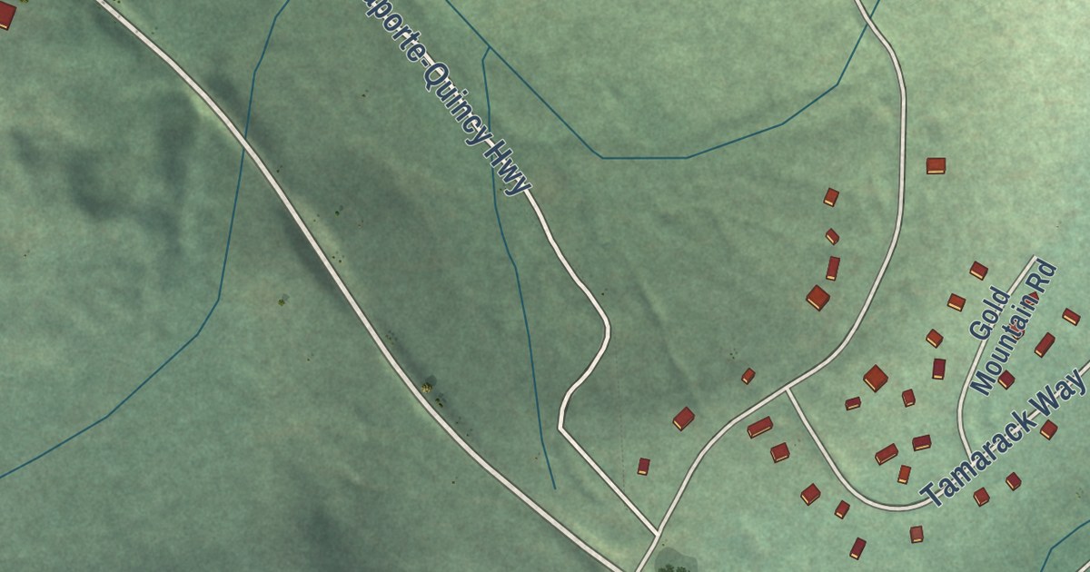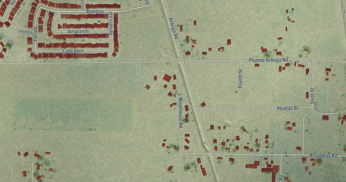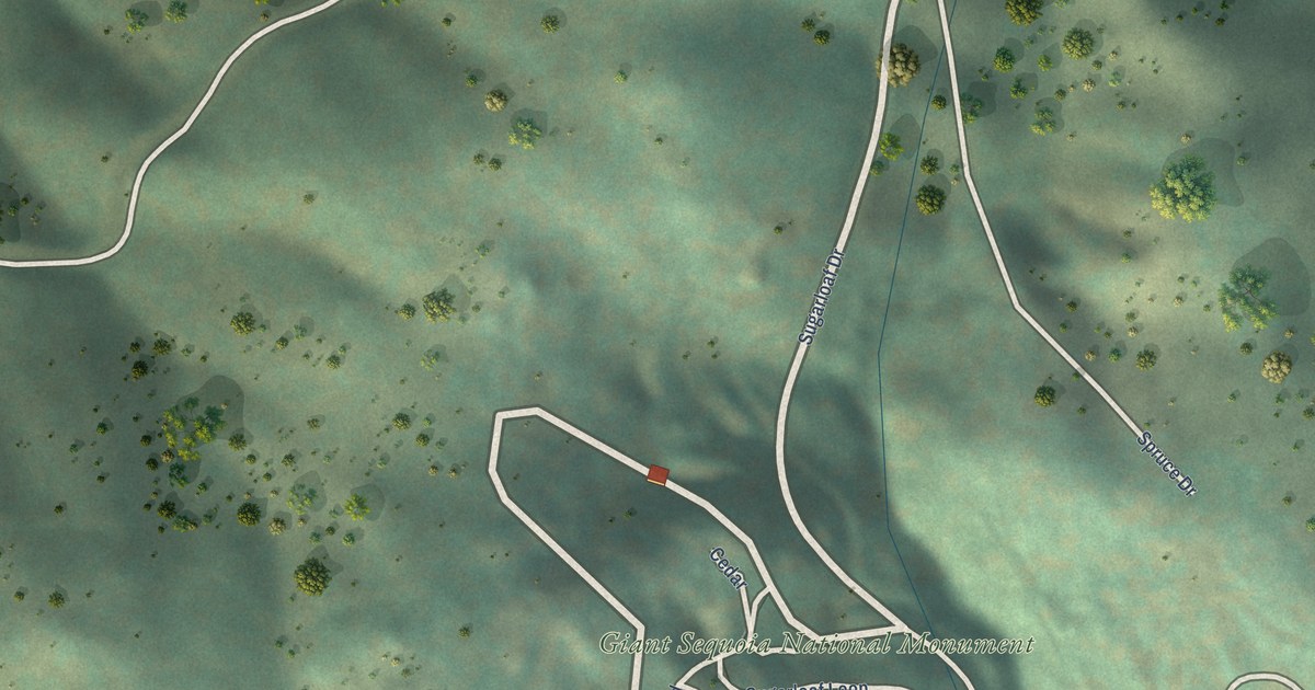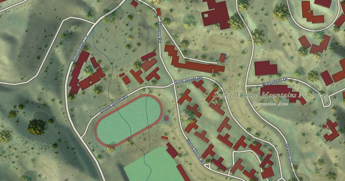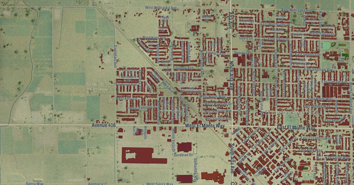
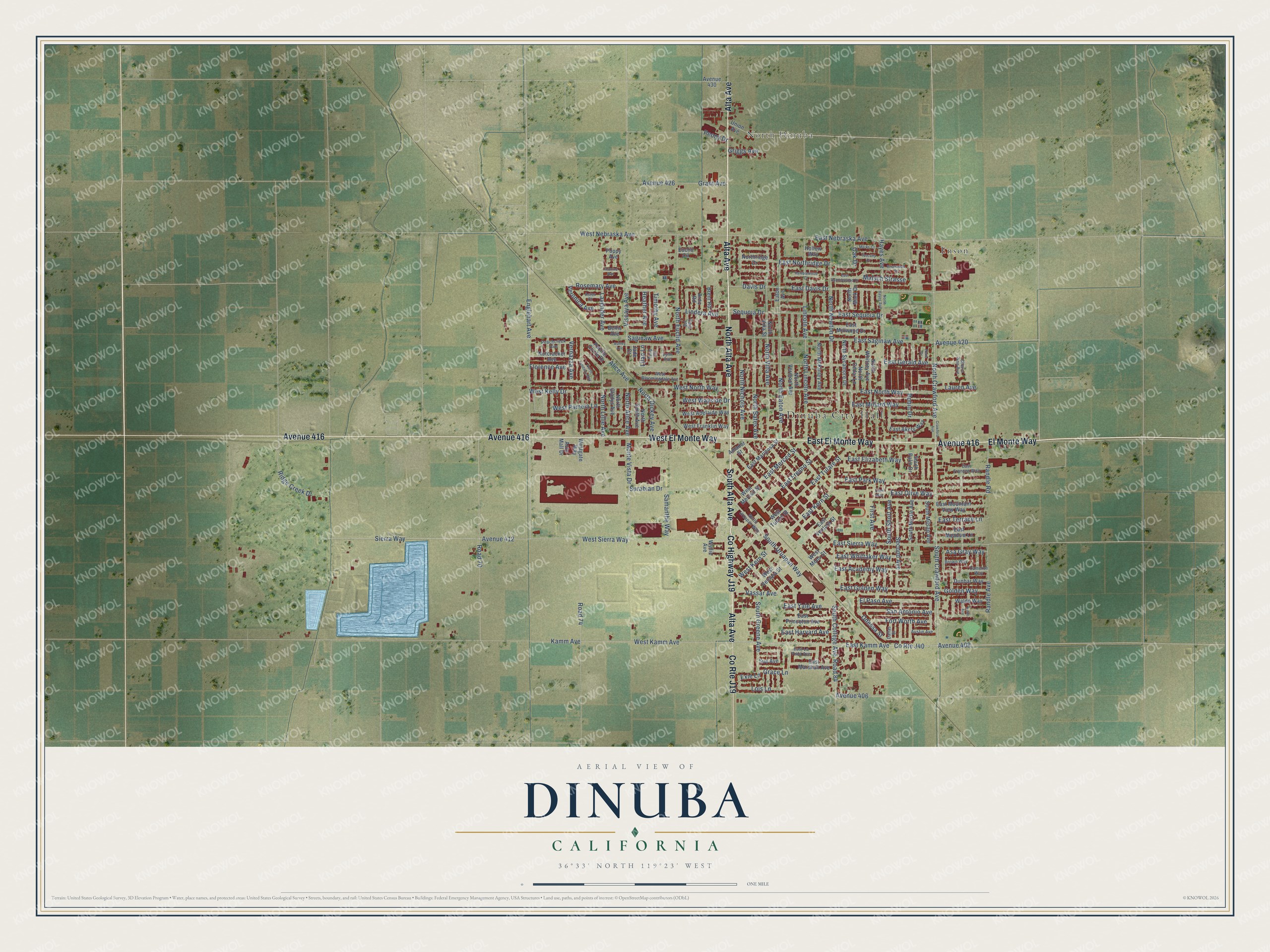
This beautifully detailed map of Dinuba, California was created in 2026 using aerial imagery combined with modern topographical, census, street and landmark data. It’s a one-of-a-kind view of Dinuba that combines accurate data with a vintage aesthetic. The map shows every building in its true location, many of the roads carry their names, and the shaded topographic relief shows the shape of the land.
Explore an aerial view of Dinuba, California
On the map you’ll find Dinuba City Hall, North Dinuba, Enson, and Avenue 416, along with Alta Avenue, County Highway J19, North Alta Avenue, East El Monte Way, El Monte Way, West El Monte Way, South Alta Avenue, East Kamm Avenue, and more. If you look closely you can even find your house accurately drawn in its correct location. Zoom in on the preview to look for yours.
Did you know this piece of Dinuba, California history?
From Valley Public Radio: "Soon most of Traver's population moved to Dinuba, including the Alta Irrigation District and Dinuba became a thriving community."
Take a closer look at the Dinuba map
Street and place names on the Dinuba, California map
These names are printed on the map of Dinuba, California.
Places: Dinuba City Hall, North Dinuba and Enson.
Streets and roads: Alta Avenue, County Highway J19, North Alta Avenue, East El Monte Way, El Monte Way, West El Monte Way, Avenue 416, South Alta Avenue, County Route J19, East Kamm Avenue, South Crawford Avenue, North Crawford Avenue.
More street names, A to Z
Alice Avenue, Amador Street, Arno Road, Asa Gray Way, Ashley Avenue, Aster Court, Austin Avenue, Auto Mall Drive, Avenue 406, Avenue 408, Avenue 412, Avenue 420, Avenue 426, Avenue 430, Bellis Avenue, Brent Road, Briarwood Drive, Brown Way, Cameron Way, Cara Road, Cherie Ann Avenue, County Route J40, Crawford Avenue, Dallas Street, Davis Drive, Dunbar Way, East Academy Way, East Akers Way, East Davis Drive, East Elizabeth Way, East Franzen Way, East Fresno Street, East Gerald Avenue, East Golden Way, East Harvard Avenue, East Kern Street, East La Vista Avenue, East Mariposa Street, East Marshall Avenue, East Meadow Lane, East Merced Street, East Millard Way, East Millwood Drive, East Mountain View Way, East Nebraska Avenue, East Northridge Drive, East North Way, East Olive Way, East Park Way, East Princeton Avenue, East Ramblewood Drive, East Saginaw Avenue, East Sequoia Drive, East Sierra Way, East Terrace Lane, East Tulare Street, East Ventura Street, East Whittaker Way, East Yale Avenue, Eaton Avenue, El Paso Avenue, Englehart Avenue, Euclid Circle, Exie Lane, First Avenue, Florence Avenue, Fort Worth Avenue, Golden Way, Grace Lane, Grant Avenue, Griggs Avenue, Hayes Avenue, Heather Avenue, Hollow Way, Jade Court, Jasmine Avenue, Kamm Avenue, Keith Avenue, Lauren Avenue, Lavender Avenue, Lilac Lane, Lincoln Avenue, Lindera Avenue, Lois Lane, Lynn Avenue, Malsch Strasse, Marks Court, Monte Vista Drive, North Alice Avenue, North Bates Avenue, North Cedar Lane, North Dickey Avenue, North Eaton Avenue, North Euclid Avenue, North Gladys Avenue, North Hayes Avenue, North Lillie Avenue, North Lincoln Avenue, North Lyndsay Way, North Mark Drive, North McKinley Avenue, North Newton Drive, North Nichols Avenue, Northridge Drive, North Smith Avenue, North Sycamore Drive, North Uruapan Way, North Vermont Avenue, North Villa Avenue, North Villa Street, North Whitney Avenue, Nutcracker Avenue, Oak Drive, Odessa Street, Olive Way, Pacific Circle Drive, Peachcreek Avenue, Peony Drive, Poppy Avenue, Ramblewood Court, Randle Avenue, Randle Road, Rene Drive, Ridge Creek Drive, Road 70, Road 74, Road 84, Robin Drive, Rosemary Avenue, Saginaw Avenue, Samanthe Way, San Antonio Avenue, Second Avenue, Sequoia Drive, Sierra Way, South College Avenue, South Greene Avenue, South Milsap Avenue, South Myrtle Avenue, South Palm Drive, South Short Avenue, South Uruapan Way, Sue Avenue, Surabian Drive, Timothy Avenue, Tulip Circle, Tuscany Drive, Union Avenue, Vassar Avenue, Vernazza Avenue, Veronica Avenue, Viscaya Avenue, Waldo Way, West Adelaide Way, West Bloomingdale Avenue, West Franklin Way, Westgate Way, West Kamm Avenue, West Kelly Drive, West Kern Street, West Merced Street, West Mono Street, West Nebraska Avenue, West North Way, West Pamela Lane, West Sierra Way, West Tulare Street, West Ventura Street, West Wayside Drive, Wyllie Avenue.
See the Dinuba, California map on a wall
The Dinuba map as an 18 x 24 inch print in a black frame.

This beautifully detailed map of Dinuba makes an attractive addition to your office, library, or den, and it can even be used to teach children the geography and history of the area. It also makes a great gift for anyone who grew up in Dinuba or moved away. When you’re done exploring, click here to get your copy of the Dinuba map.