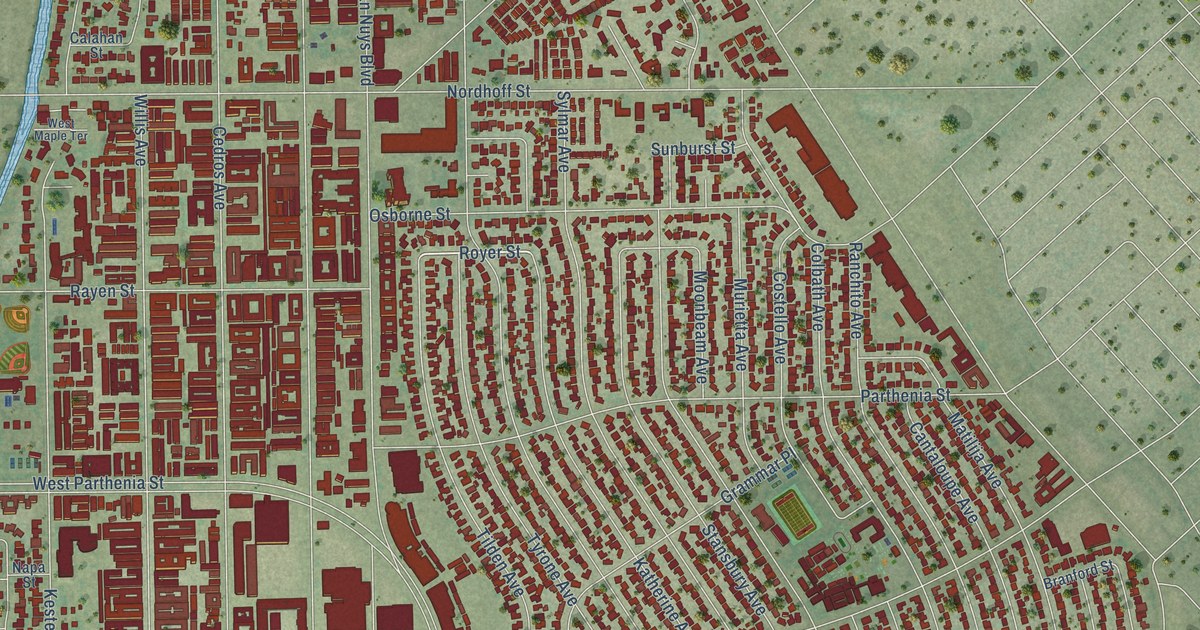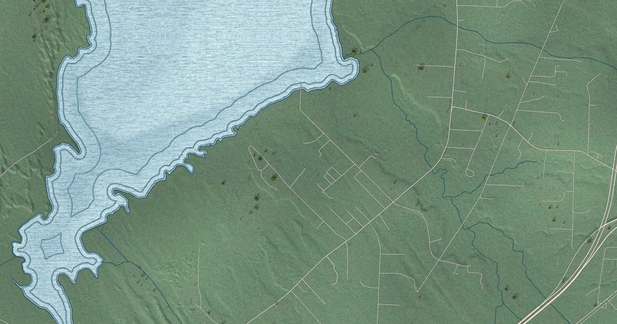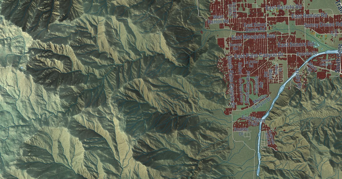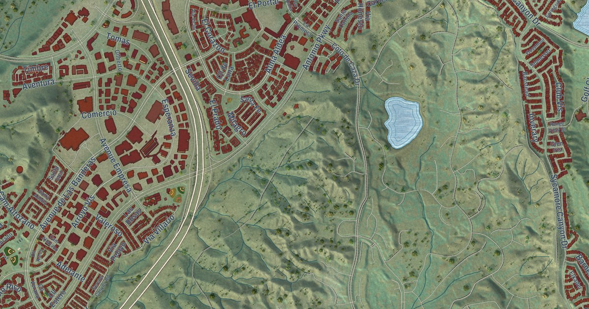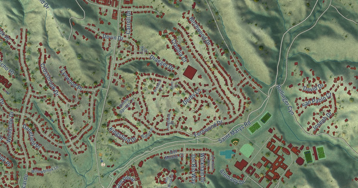
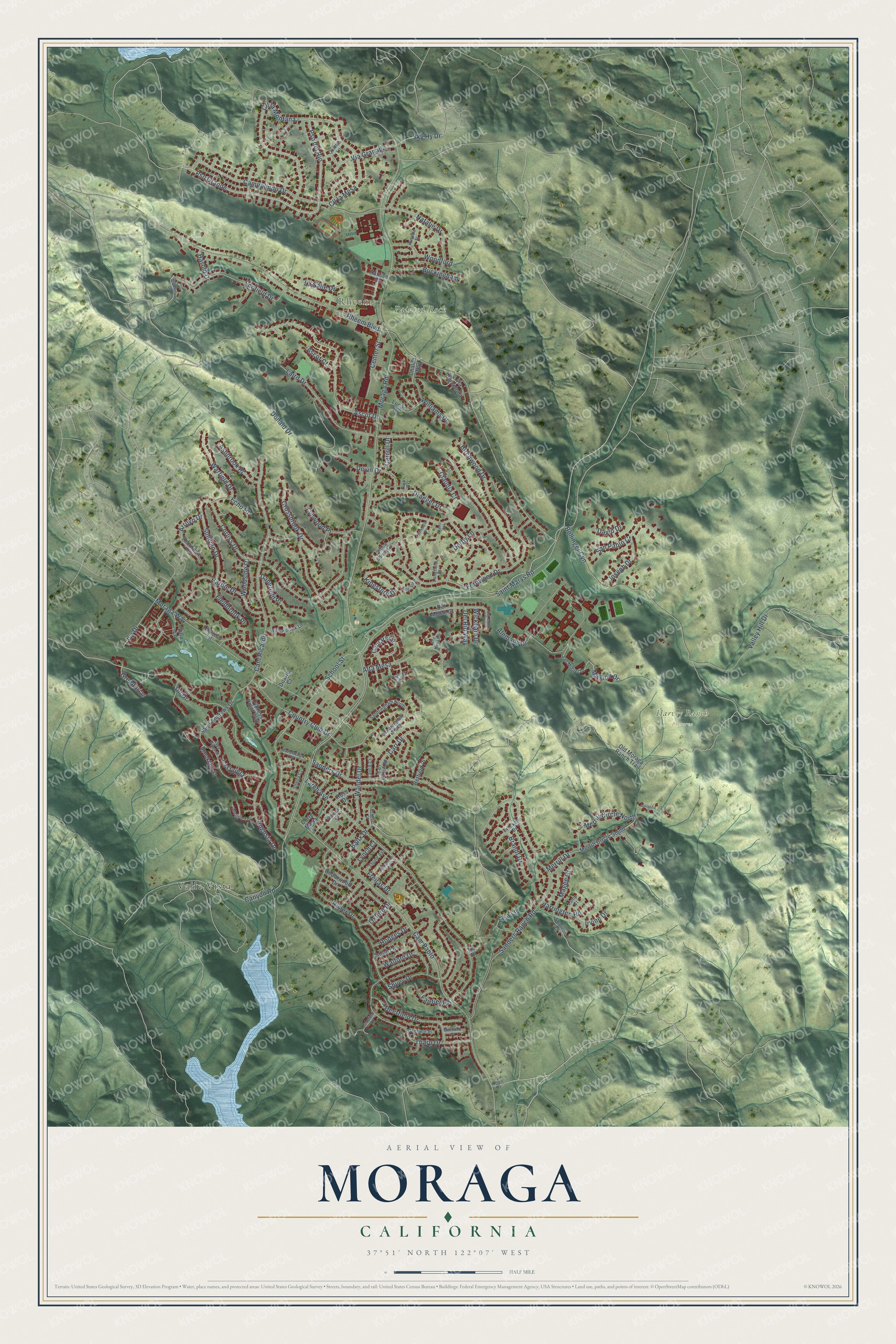
This beautifully detailed map of Moraga, California was created in 2026 using aerial imagery combined with modern topographical, census, street and landmark data. It's a modern aerial view of Moraga in Contra Costa County, California, that combines modern data with a vintage aesthetic. The roads feature printed names, and if you look closely you can find your exact house accurately shown in its correct location.
Explore an aerial view of Moraga, California
On this map you'll find Rheem, Harvey Ranch Preserve, Painted Rock, Valle Vista, Pso Grande, Pso del Rio, Mission Drive, Moraga Road, Sullivan Drive, Donald Drive, Rheem Boulevard, Canyon Road, and more. Each red shape is a building, so zoom in on the preview and look for yours.
Moraga is a town in Contra Costa County. The Census Bureau counted 16,870 people here in 2020. The map prints the town name in its title panel, with the coordinates below it.
Take a closer look at the Moraga map
Names on this map
These names are printed on this map.
Places: Rheem, Harvey Ranch Preserve, Painted Rock and Valle Vista.
Streets and roads: Pso Grande, Pso del Rio, Mission Drive, Moraga Road, Sullivan Drive, Donald Drive, Rheem Boulevard, Canyon Road, Cam Pablo, Augusta Drive, Sanders Ranch Road, Saint Marys Road.
More street names, A to Z
Alemany Drive, Alta Mesa, Alto Mesa Circle, Arroyo Drive, Ascot Court, Ascot Drive, Ashbrook Place, Baitx Drive, Barnes Court, Bedford Place, Birchwood Drive, Birkdale Place, Bollinger Cyn, Brandt Drive, Brookline Street, Buckingham, Cam Peral, Campolindo Drive, Cam Ricardo, Carr Drive, Carroll Drive, Carr Ranch Road, Cedarwood Drive, Center Street, Chalda Way, Claudia Court, Cll la Mesa, Cll la Montana, Corliss Drive, Corte Maria, Country Club Drive, Courter Lane, Crockett Drive, Crossbrook Drive, Cypress Point Way, Danefield Place, David Drive, Deerfield Drive, Del Monte Court, Del Monte Way, Del Rio Way, Derby Lane, Devin Drive, Dickenson Drive, Draeger Drive, Duarte Court, Echo Hl, Fairfield Place, Fernwood Drive, Fieldbrook Place, Freitas Drive, Goodfellow Drive, Greenbriar, Hansen Court, Hardie Drive, Harold Drive, Harrington Road, Hazelwood Place, Hetfield Place, Hodges Drive, Irvine Drive, Ivy Drive, Joseph Drive, Julianna Court, Kent Court, Ketelsen Court, Kingsford Drive, Knoll Drive, Laird Drive, Lakefield Place, Lamp Court, Lance Court, La Quinta, Larch Avenue, La Salle Drive, Lisa Lane, Longfield Place, Lucas Drive, Lynch Court, Lynwood Place, Magee Court, Merion Terrace, Merrill Circle North, Merrill Circle South, Merrill Drive, Millfield Place, Moraga Way, Natalie Drive, Old Moraga Ranch Trail, Oxford Drive, Pso Bernal, Quintas Lane, Redfield Place, Rimer Drive, Ross Drive, Saint Andrews Drive, Sanders Drive, Sandringham North, Sandringham South, San Miguel Drive, San Pablo Court, Sarah Lane, School Street, Scofield Drive, Sea Pines Street, Shannon Court, Sheila Court, Shuey Drive, Sky Hy Drive, Tharp Drive, Thorndale Place, Thune Avenue, Tia Place, Turk Drive, Un Drive, Valley Hill Drive, Via Barcelona, Via Granada, Villa Lane, Walford Drive, Wandel Drive, Warfield Drive, Wickham Drive, Williams Drive, Willowbrook Lane, Willow Springs Lane, Wimpole Street, Woodford, Woodside Drive.
Created by KNOWOL in 2026. The buildings are small red shapes, the roads carry their printed names, and shaded relief shows the shape of the land. The title panel reads "AERIAL VIEW OF MORAGA CALIFORNIA" with 37°51' NORTH 122°07' WEST.
It suits a den, a classroom or a front hall, and it makes a gift for anyone with Moraga roots. Open the preview and find the block you know. See sizes and frames for the Moraga map.