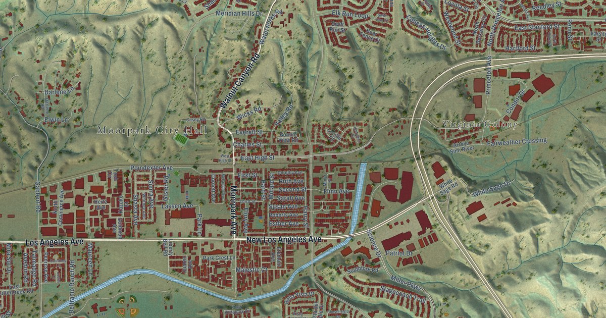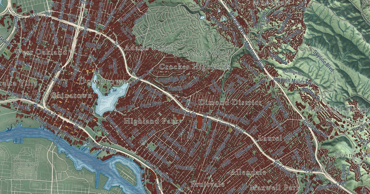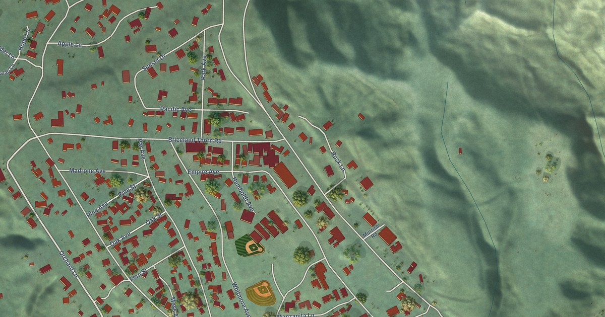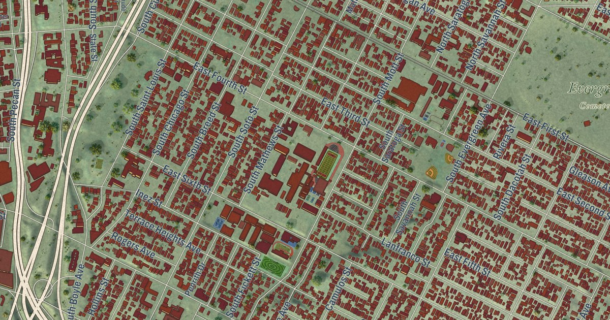
This beautifully detailed map of Boyle Heights, California was created in 2026 using aerial imagery combined with modern topographical, census, street and landmark data. It’s a one-of-a-kind view of Boyle Heights that combines accurate data with a vintage aesthetic. The map shows every building in its true location, many of the roads carry their names, and the shaded topographic relief shows the shape of the land.
Explore an aerial view of Boyle Heights, California
On the map you’ll find Boyle Heights City Hall, Evergreen Cemetery, Aliso Village, Brooklyn Heights, Hobart, Ninth Street Junction, Pico Gardens, Soto Street Junction, and Wyvernwood, along with South Mission Road, South Lorena Street, Inez Street, and more. If you look closely you can even find your house accurately drawn in its correct location. Zoom in on the preview to look for yours.
Did you know this piece of Boyle Heights, California history?
From the Historical Marker Database: "In the 1960s and 1970s, Boyle Heights also became the epicenter of Chicano culture and pride."
Boyle Heights is a place in Los Angeles County.
Take a closer look at the Boyle Heights map
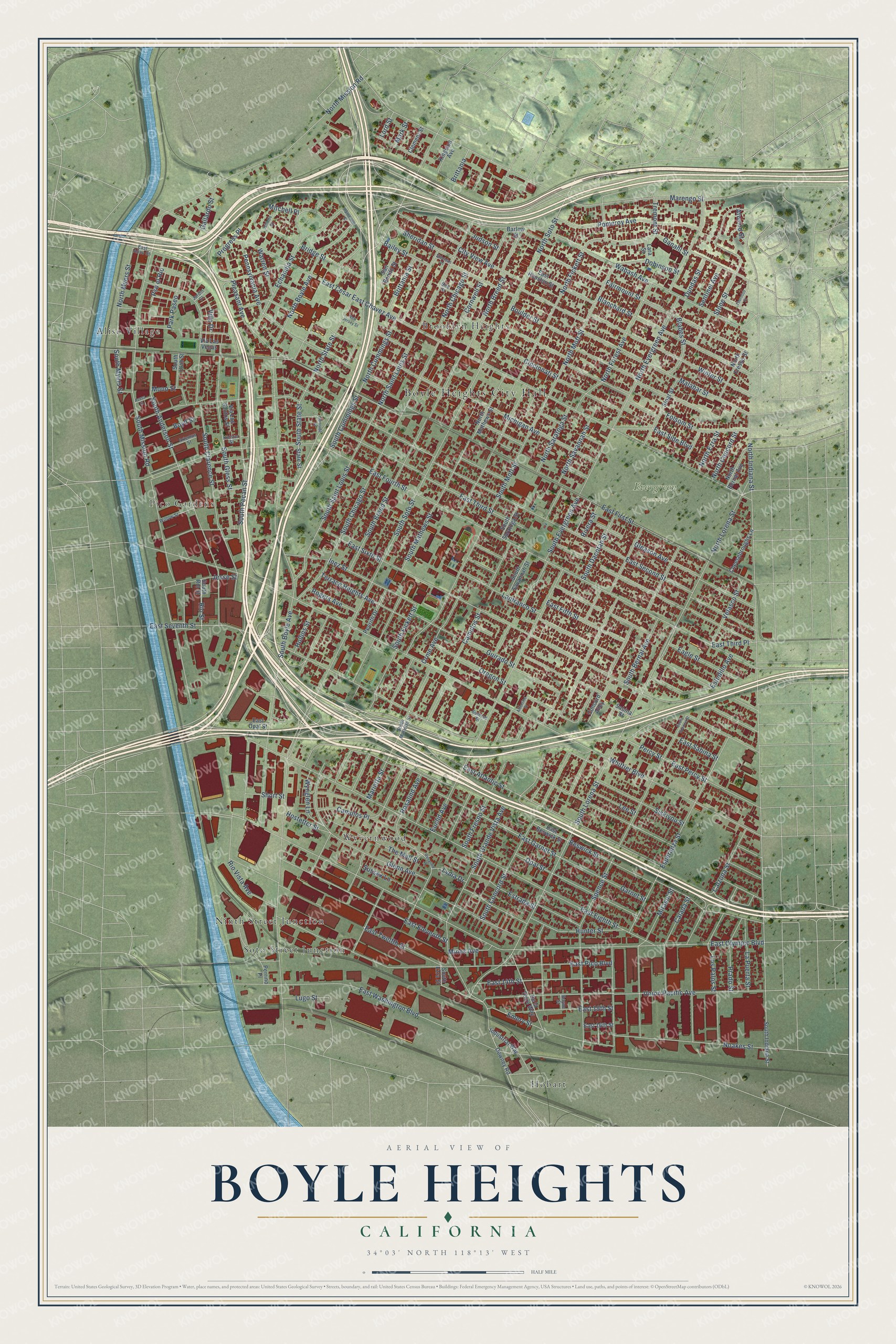
Street and place names on the Boyle Heights, California map
These names are printed on the map of Boyle Heights, California.
Places: Boyle Heights City Hall, Evergreen Cemetery, Aliso Village, Brooklyn Heights, Hobart, Ninth Street Junction, Pico Gardens, Soto Street Junction and Wyvernwood.
Streets and roads: South Mission Road, South Lorena Street, Inez Street, Union Pacific Avenue, North State Street, South Soto Street, South Concord Street, Echandia Street, North Boyle Avenue, South State Street, North Myers Street, East Fourth Street.
More street names, A to Z
Albertine Street, Artemus Street, Atwood Street, Azusa Street, Bailey Street, Barlow Street, Beswick Street, Bird Street, Blades Street, Blanchard Street, Boulder Street, Boyd Street, Boyne Street, Bridge Street, Brittania, Brittania Street, Calada Street, Calzona Street, Camulos Place, Camulos Street, Cheesebroughs Lane, Cincinnati Street, City View Avenue, Clement Street, Concord Alley, Cornwell Street, De la Torre Way, Dobinson Street, Downey Road, Dundas Street, Eagle Street, East 14th Street, East 15th Street, East 16th Street, East Aliso Street, East Atlantic Street, East Beswick Street, East Cesar East Chavez Avenue, East Eighth Street, East Eleventh Street, East Fifth Street, East First Street, East Garnet Street, East Houston Street, East Olympic Boulevard, East Opal Street, East Percy Street, East Pico Boulevard, East Sabina Street, East Second Street, East Seventh Street, East Side Boulevard, East Sixth Street, East Third Place, East Third Street, East Twelfth Street, East Washington Boulevard, Emery Street, Esperanza Street, Estrada Street, Estudillo Avenue, Euclid Avenue, Fairmount Street, Folsom Street, Gallardo Street, Ganahl Street, Garnet Street, Gertrude Street, Gillette Street, Gleason Avenue, Glenn Avenue, Guirado Street, Hammond Street, Hollins Street, Hostetter Street, Hunter Street, Industrial Way, Jardin Court, Jesse Street, Judson Street, Kingston Avenue, Kolster Street, Lanfranco Street, La Puerta Street, Lara Street, Lee Street, Lord Street, Los Palos Street, Lugo Street, Lydia Drive, Malabar Street, Marengo Street, Marietta Street, Mark Street, Michigan Avenue, Mines Avenue, Mirasol Street, Mitchell Place, Mono Street, New Jersey Street, Noakes Street, North Bernal Avenue, North Breed Street, North Chicago Street, North Concord Street, North Cummings Street, North Evergreen Avenue, North Ezra Street, North Fickett Street, North Forest Avenue, North Fresno Street, North Indiana Street, North Lorena Street, North Mathews Street, North Mission Road, North Mott Street, North Saint Louis Street, North Saratoga Street, North Savannah Street, North Soto Street, Opal Street, Oregon Street, Orme Avenue, Park Paseo, Pennsylvania Avenue, Penrith Drive, Percy Street, Perrino Place, Pleasant Avenue, Pomeroy Avenue, Prado Street, Progress Place, Pso el Rio, Rio Street, Rio Vista Avenue, Rivera Street, Rogers Avenue, Rosalind Avenue, Rosalind Place, Sabina Street, San Benito Street, Sentinel Avenue, Sheridan Place, Sheridan Street, Short Street, Siskiyou Street, Sloat Street, South Anderson Street, South Bernal Avenue, South Boyle Avenue, South Breed Street, South Chicago Street, South Clarence Street, South Cummings Street, South Dacotah Street, South Evergreen Avenue, South Ezra Street, South Fickett Street, South Fresno Street, South Gless Street, South Grande Vista Avenue, South Indiana Street, South Marietta Street, South Mathews Street, South Mott Street, South Myers Street, South Pecan Street, South Rio Street, South Saint Louis Street, South Saratoga Street, South Savannah Street, South Spence Street, South Utah Street, Spence Street, State Street, Stone Street, Sunrise Street, Sussex Lane, Terrace Heights Avenue, The Mall Street, Thornton Street, Tremont Street, Velasco Street, Via Las Vegas, Via Los Santos Street, Villa Drive, Wabash Avenue, Warren Street, Whittier Boulevard, Willow Street, Winter Street, Wynglen Lane.
See the Boyle Heights, California map on a wall
The Boyle Heights map as an 18 x 24 inch print in a black frame.

This beautifully detailed map of Boyle Heights makes an attractive addition to your office, library, or den, and it can even be used to teach children the geography and history of the area. It also makes a great gift for anyone with Boyle Heights roots. When you’re done exploring, click here to get your copy of the Boyle Heights map.