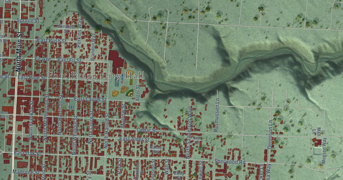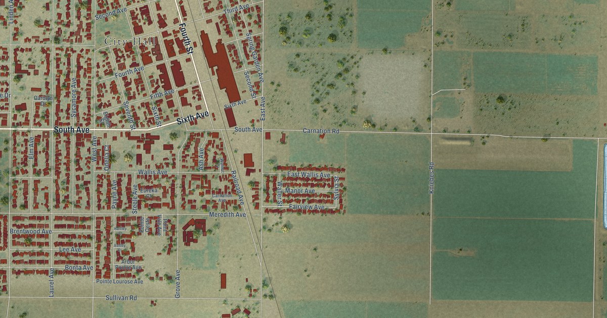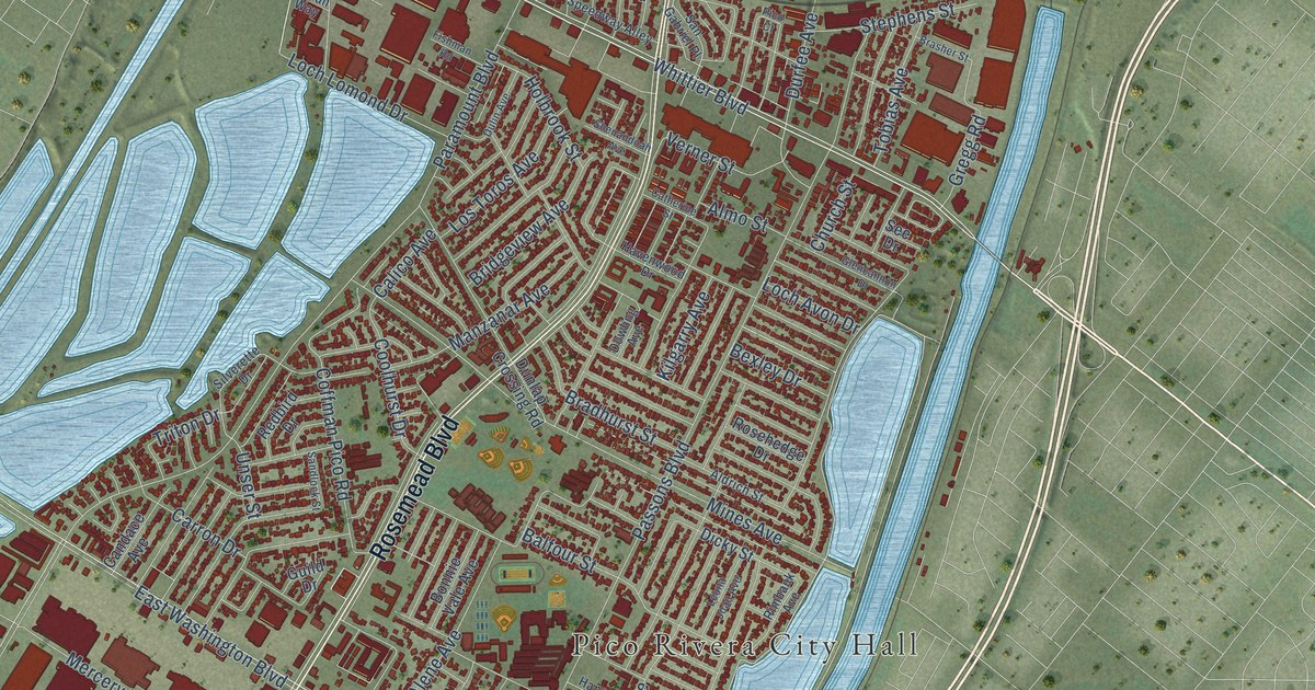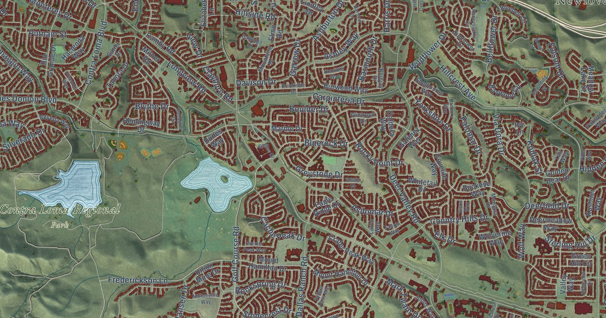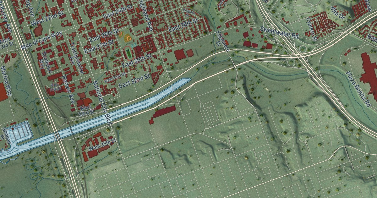
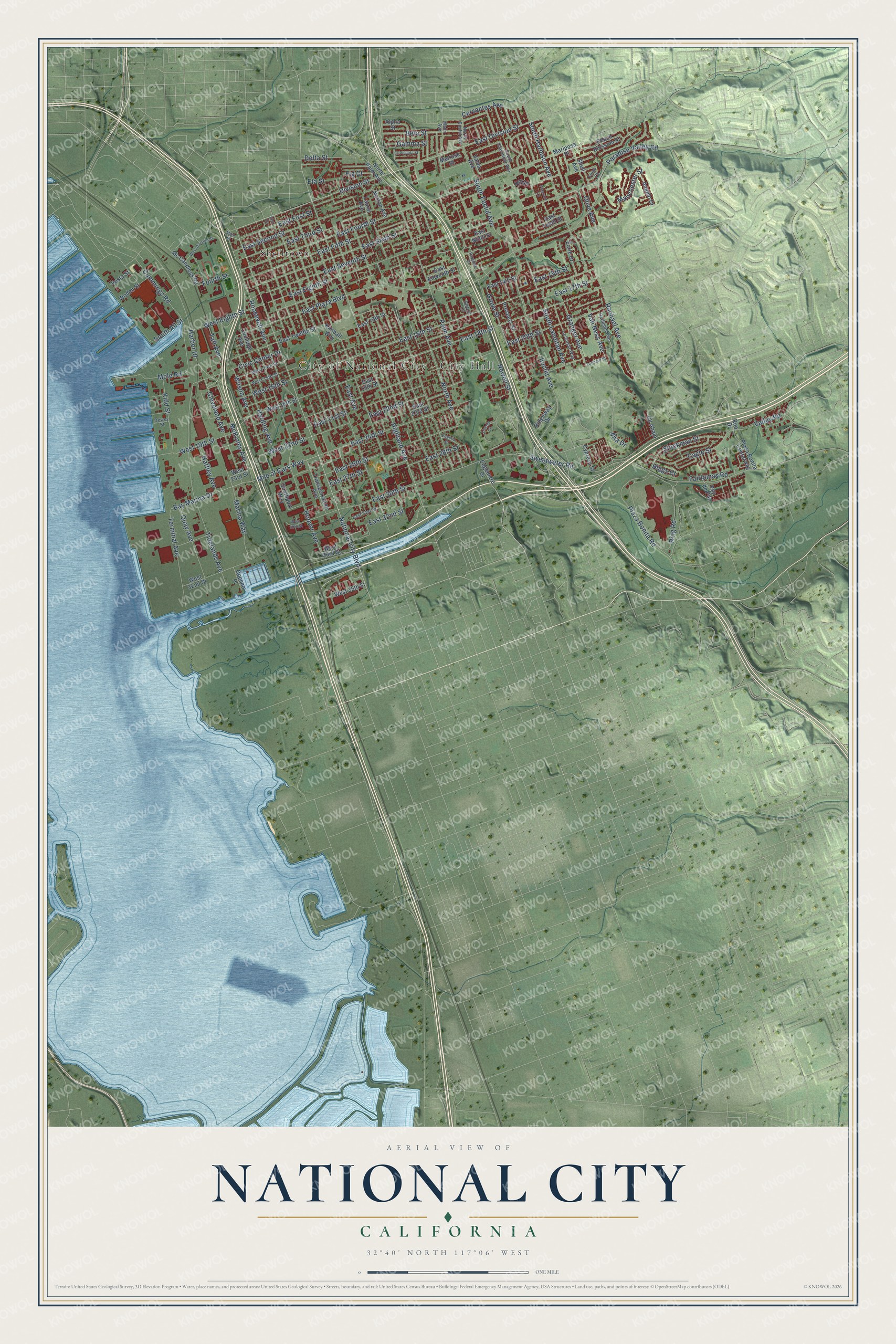
This beautifully detailed map of National City, California was created in 2026 using aerial imagery combined with modern topographical, census, street and landmark data. It's a modern aerial view of National City in San Diego County, California, that combines modern data with a vintage aesthetic. The roads feature printed names, and if you look closely you can find your exact house accurately shown in its correct location.
Explore an aerial view of National City, California
On this map you'll find City of National City – City Hall, Shelltown, National City Boulevard, Roosevelt Avenue, Highland Avenue, Rachael Avenue, Mile of Cars Way, East Fourth Street, East 16th Street, East 18th Street, East 15th Street, McKinley Avenue, and more. Each red shape is a building, so zoom in on the preview and look for yours.
National City has a story worth telling. The record at ohp.parks.ca.gov puts it this way: "This National City California Southern Railroad depot built in 1882 served as the first Pacific Coast terminus station of the Santa Fe Railway system’s transcontinental railroad."
National City is a city in San Diego County. The Census Bureau counted 56,173 people here in 2020.
Take a closer look at the National City map
Names on this map
These names are printed on this map.
Places: City of National City - City Hall and Shelltown.
Streets and roads: National City Boulevard, Roosevelt Avenue, Highland Avenue, Rachael Avenue, Mile of Cars Way, East Fourth Street, East 16th Street, East 18th Street, East 15th Street, McKinley Avenue, Bay Marina Drive, East 32nd Street.
More street names, A to Z
Alpha Street, Alta Drive, Angelo Drive, Beta Street, Biggs Court, Cagle Street, Cervantes Avenue, Civic Center Drive, Cleveland Avenue, Cll Abajo, Coolidge Avenue, Cummings Road, Cypress Street, Delta Street, Dewey Street, Division Street, Earle Drive, East 13th Street, East 14th Street, East 17th Street, East 19th Street, East 20th Street, East 21st Street, East 22nd Street, East 23rd Street, East 24th Street, East 26th Street, East 27th Street, East 28th Street, East 30th Street, East 31st Street, East Avenue, East Division Street, East Eighth Street, East Eleventh Street, East Fifth Street, East First Street, East Ninth Street, East Plaza Boulevard, East Second Street, East Seventh Street, East Sixth Street, East Tenth Street, East Third Street, East Twelfth Street, Edgemere Drive, Elm Drive, Eta Street, Euclid Avenue, Fairlomas Road, Fig Court, Fourth Street, Gamma Street, Goesno Place, Granger Avenue, Grove Street, Haffley Avenue, Harbison Avenue, Harbor Drive, Harding Avenue, Hill Drive, Hoover Avenue, Kidd Street, Kimball Way, La Posada Street, La Siesta Way, Laurel Avenue, Leonard Street, Lincoln Court, Main Street, Manchester Street, Mann Avenue, Marina Way, Mariposa Place, Mc Candless Road, Melrose Street, Mole Road, Newell Street, North Avenue, North Euclid Avenue, North Palm Avenue, Norton Avenue, Olive Avenue, Palm Avenue, Paradise Drive, Paradise Valley Road, Peach Blossom Street, Plaza Bonita Centerway, Plaza Bonita Road, Pleasant Lane, Prospect Street, Pso de Paz, Quay Avenue, Reo Drive, Ridgeway Drive, Ring Road, Shell Avenue, Sheryl Lane, South All Street, South Clairmont Avenue, South Euclid Avenue, South Harbison Avenue, South Lanoitan Avenue, Southport Way, Stockman Street, Sweetwater Road, Taft Avenue, Terminal Avenue, Tidelands Avenue, Tolas Court, Transportation Avenue, Valley Road, Valva Avenue, Van Ness Avenue, Vesta Street, Virginia Drive, West 14th Street, West 15th Street, West 16th Street, West 18th Street, West 19th Street, West 22nd Street, West 23rd Street, West 30th Street, West 32nd Street, West 33rd Street, West 35th Street, West Division Street, West Eighth Street, Wilson Avenue, Woden Street.
Created by KNOWOL in 2026. The buildings are small red shapes, the roads carry their printed names, and shaded relief shows the shape of the land. The title panel reads "AERIAL VIEW OF NATIONAL CITY CALIFORNIA" with 32°40' NORTH 117°06' WEST.
It looks right in a kitchen, an office or a den, and it's a gift for anyone who grew up in National City or moved away. Open the preview and find your street. See sizes and frames for the National City map.