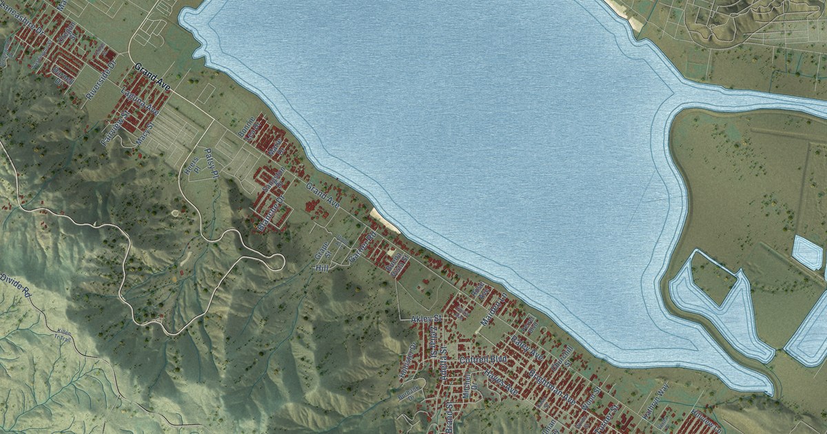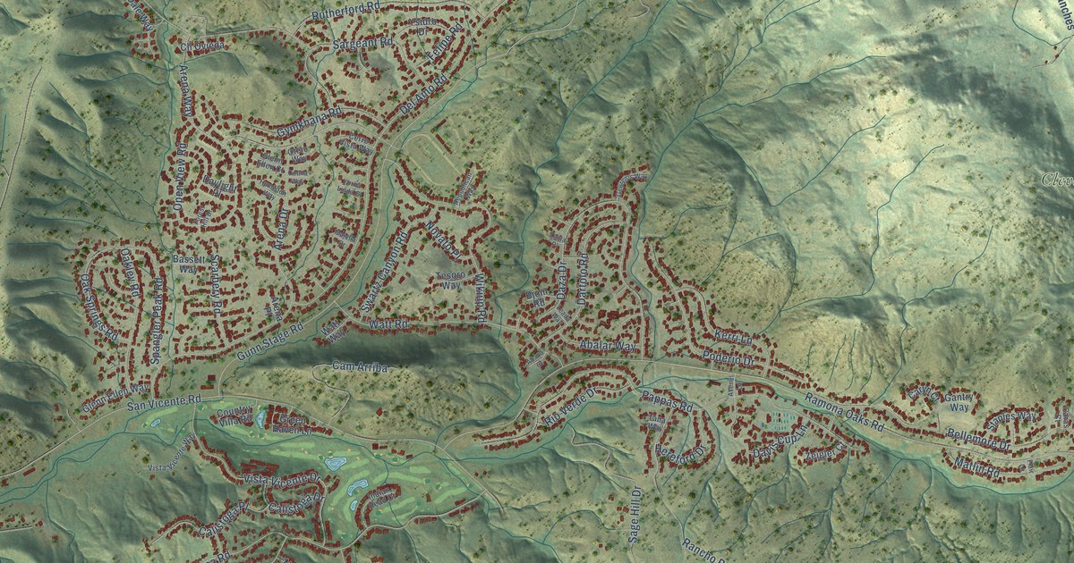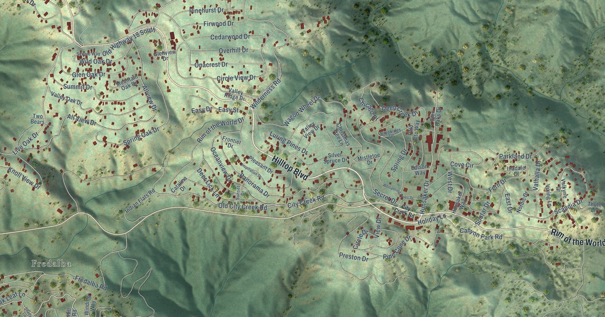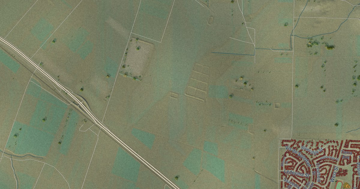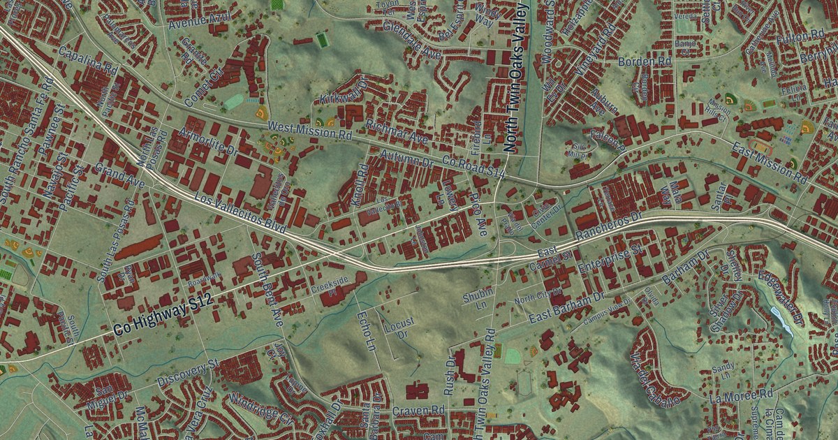
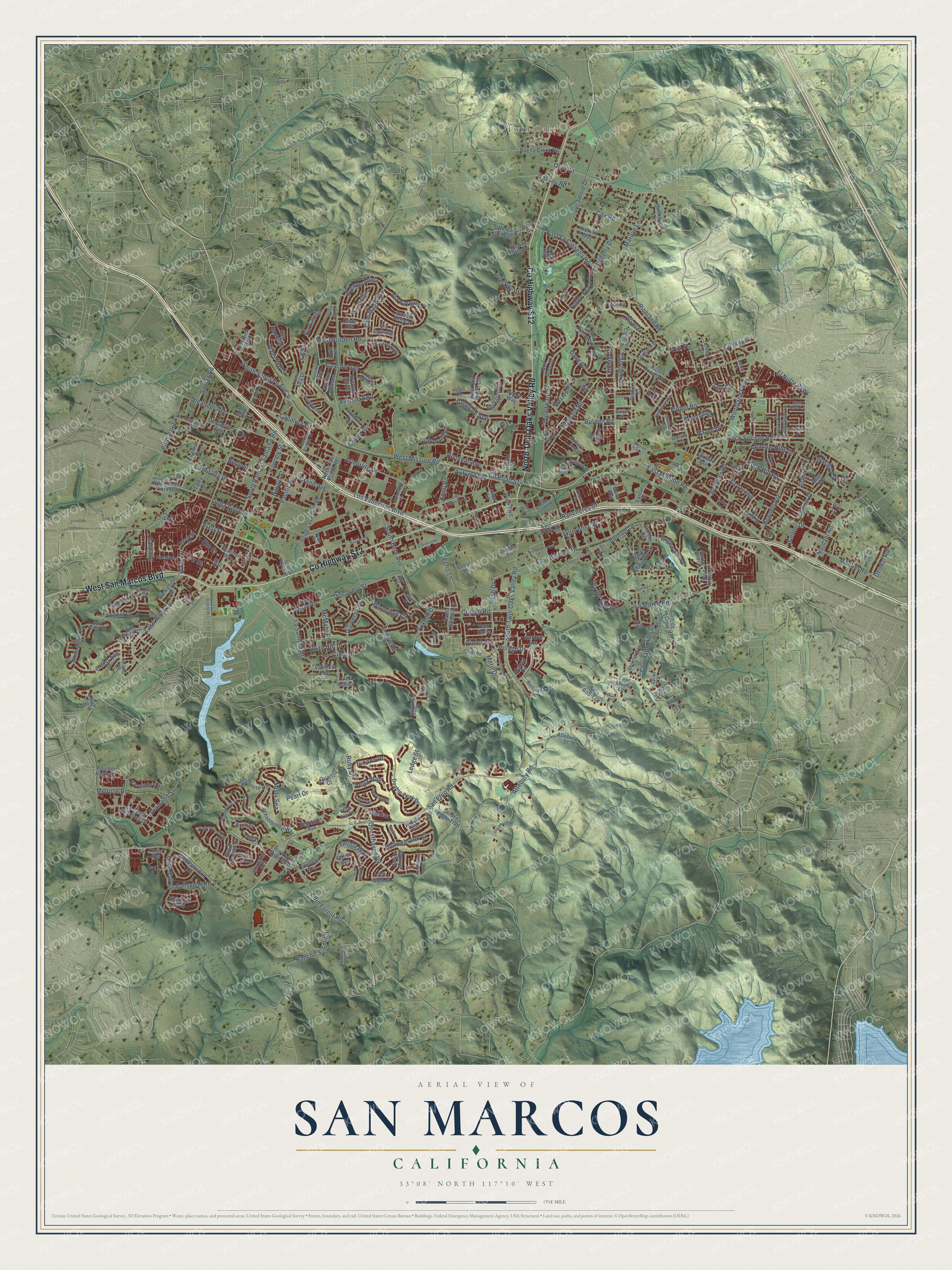
This beautifully detailed map of San Marcos, California was created in 2026 using aerial imagery combined with modern topographical, census, street and landmark data. It's a modern aerial view of San Marcos in San Diego County, California, that combines modern data with a vintage aesthetic. The roads feature printed names, and if you look closely you can find your exact house accurately shown in its correct location.
Explore an aerial view of San Marcos, California
On this map you'll find Twin Oaks, Richland, Co Highway S12, West San Marcos Boulevard, North Twin Oaks Valley Road, East Mission Road, Linda Vista Drive, Via Barquero, Cam Magnifico, Nordahl Road, Co Road S14, San Elijo Road, and more. Each red shape is a building, so zoom in on the preview and look for yours.
San Marcos is a city in San Diego County. The Census Bureau counted 94,833 people here in 2020. The map prints the town name in its title panel, with the coordinates below it.
Take a closer look at the San Marcos map
Names on this map
These names are printed on this map.
Places: Twin Oaks and Richland.
Streets and roads: County Highway S12, West San Marcos Boulevard, North Twin Oaks Valley Road, East Mission Road, Linda Vista Drive, Via Barquero, Cam Magnifico, Nordahl Road, County Road S14, San Elijo Road, South Rancho Santa Fe Road, Mulberry Drive.
More street names, A to Z
Acacia Drive, Acorn Road, Adena, Almond Road, Amber Drive, Anchor Place, Antilla Way, Applewilde Drive, Arbor Lane, Archer, Ariana, Armorlite Drive, Ash Street, Attebury Drive, Attebury Road, Auburn Avenue, Augusta Drive, Aurora Avenue, Autumn Drive, Avenido Azul, Avenue Abeja, Avenue Aguila, Avenue Amigo, Avenue Amistad, Avenue Azul, Avenue Blanco, Banjo Court, Barham Drive, Bay Hill Drive, Bel Esprit Circle, Bella Vita Way, Bennett Avenue, Berryhill Drive, Beverly Place, Birchwood Drive, Black Walnut Drive, Boardwalk, Borden Circle, Borden Road, Bosstick Boulevard, Bougher Road, Boulder Ridge Drive, Brighton Glen Road, Buena Creek Road, Butterfield Lane, Calistoga Way, Cam Carta, Cam Cielo Azul, Cam de la Cima, Cam del Sol, Campus View Drive, Capalina Road, Carriage Drive, Casa Real Lane, Cascade, Casita Lane, Cassou Road, Catherine Avenue, Center Drive, Chert Drive, Cima Drive, Civic Center Drive, Cll Maria, Cmt Amarillo, Coast Avenue, Collado Lane, Comet Circle, Concord Place, Coral, Corbel Way, Coronado Hills Drive, Corte Lira, Corte Loren, Cove Court, Cox Road, Craven Road, Creekside Place, Crimson Drive, Cycad Drive, Dale Court, Dane Drive, Deadwood Drive, Del Roy Drive, Denise Court, Deodar Road, Descanso Avenue, Diamond Street, Discovery Street, Double Peak Drive, Douglas Avenue, Dove Tail Drive, East Barham Drive, East Carmel Street, East La Cienega Road, Echo Lane, Eden, Edgewater Drive, Elena Drive, Elfin Forest Road, Elfin Forest Road East, Elm Street, El Norte Parkway, English Holly Lane, Enterprise Street, Fairlane Avenue, Falcon Place, Fallsview Road, Felicia Lane, Festival Road, Firebird Lane, Fir Street, First Street, Foxhall Drive, Fulton Road, Gemstone Drive, Genoa Way, Glencrest, Glendale Avenue, Golden Eagle Trail, Golden Sunset, Golf Glen Drive, Grain Mill Road, Grand Avenue, Grandon Avenue, Granite Road, Hazen Drive, Highbluff Avenue, Hilcorte Drive, Hill Street, Himalaya Drive, Hollowbrook Court, Holzapple Lane, Iron Horse Drive, Island Drive, Ivy Hill Road, Jason Lane, Jewel Road, Johnston Lane, Joy Court, Kirkwall Drive, Knob Hill Road, Knoll Road, La Bonita Drive, La Costa Meadows Drive, Lake Ridge Drive, La Mirada Drive, La Moree Road, Las Flores Drive, La Sombra Drive, Ledge Street, Lighthouse Road, Lindsley Park Drive, Locust Drive, Loma Alta Drive, Los Vallecito Bl, Los Vallecitos Boulevard, Lowery Lane, Luminara Way, Lupine Drive, Marilyn Lane, Mata Way, Matin Circle, McMahr Road, Melinda Avenue, Melrose Drive, Merit Drive, Mission Hills Court, Misty Sea, Montiel Road, Morgans Avenue, Navajo Street, Ninth Street, North Alda Drive, North City Drive, North Las Posas Road, North Pacific Street, Old Glen Street, Oleander Avenue, Olive Street, Olvida Drive, Orla Street, Pacific Street, Palomarcos Avenue, Palomar Drive, Pawnee Street, Pearl Drive, Pebble Beach Drive, Phoenix Way, Pico Avenue, Pinon Street, Poinsettia Avenue, Pso Tierra, Pyrenees Drive, Quail Hill Drive, Quartz Court, Questhaven Road, Rancheros Drive, Rancho Summit Drive, Rees Road, Richland Road, Richmar Avenue, River Run Circle, Roadrunner Road, Rock Springs Road, Rose Arbor Drive, Rose Ranch Road, Ruby Court, Rush Drive, Ryan Drive, Sagewood Way, Saint Paul Drive, Sandy Lane, San Miguel Drive, Santa Barbara Drive, Santar Place, Schoolhouse Way, Sea Vista Place, Sequoia Street, Settlers Court, Shadow Hills Drive, Shelley Drive, Sheridan Way, Shubin Lane, Silk Mill Place, Silverado Street, Silver Shadow Drive, Skyline Place, Smilax Road, Solo Roble Drive, Somerset Place, South Bent Avenue, South Las Posas Road, South Pacific Street, South Santa Fe Avenue, South Twin Oaks Valley Road, Stoneridge Way, Sun Valley Road, Supreme Court, Sutter Lane, Sycamore Drive, Tanglewood Drive, Terrace Lane, Tesoro Avenue, Tilley Lane, Toyon Terrace, Trenton Way, Tucana Drive, Turtle Point Way, Valencia Avenue, Vallecitos de Oro, Vega Way, Venice Avenue, Vereda, Via Bahia, Via Belleza, Via Cafetal, Via Caliente, Via del Caballo, Via del Prado, Via Las Brisas, Via la Venta, Via Perlita, Via Santalina, Via Teresa, Via Vera Cruz, Via Vis, Victoria Way, Viewpoint Drive, Viking Lane, Village Drive, Vineyard Road, Violet Avenue, Virginia Place, Vis Colina, Wade Drive, Weatherwood Court, West Bel Esprit Circle, West Borden Road, West La Cienega Road, West Linda Vista Drive, West Mission Road, White Sands Drive, Wild Iris Court, Wil Ev Drive, Windemere Drive, Windridge Circle, Windy Way, Woodland Parkway, Woods Drive, Woodward Street.
Created by KNOWOL in 2026. The buildings are small red shapes, the roads carry their printed names, and shaded relief shows the shape of the land. The title panel reads "AERIAL VIEW OF SAN MARCOS CALIFORNIA" with 33°08' NORTH 117°10' WEST.
It looks right in a kitchen, an office or a den, and it's a gift for anyone who grew up in San Marcos or moved away. Open the preview and find your street. See sizes and frames for the San Marcos map.