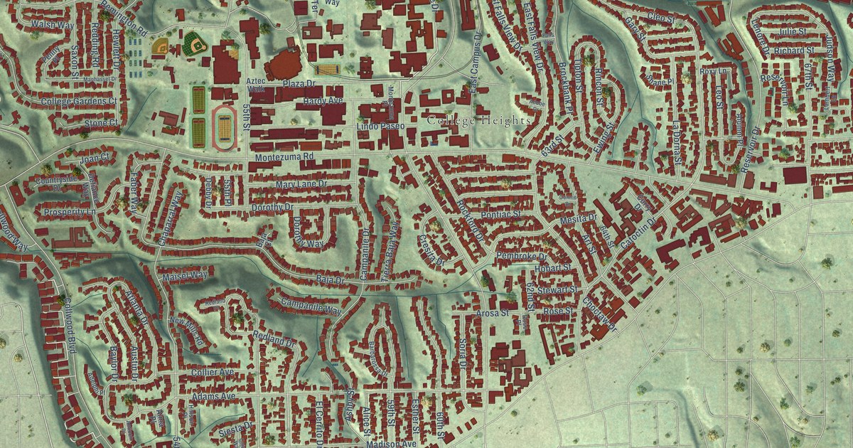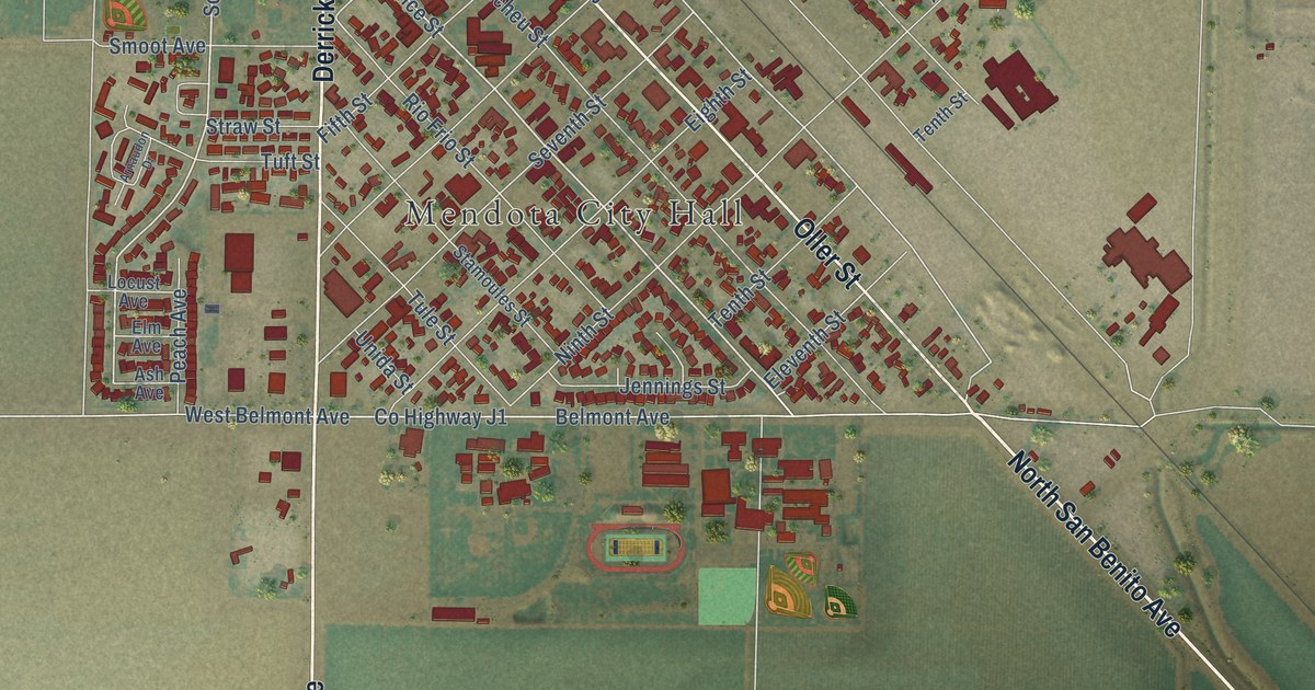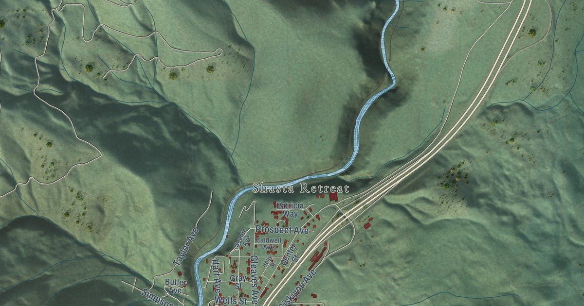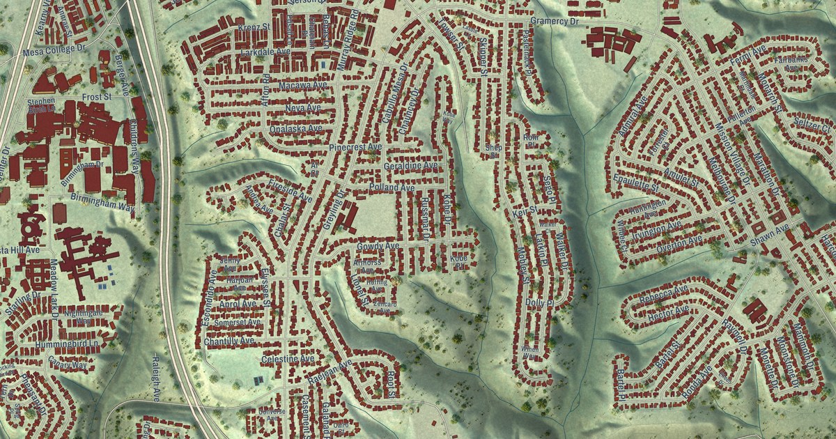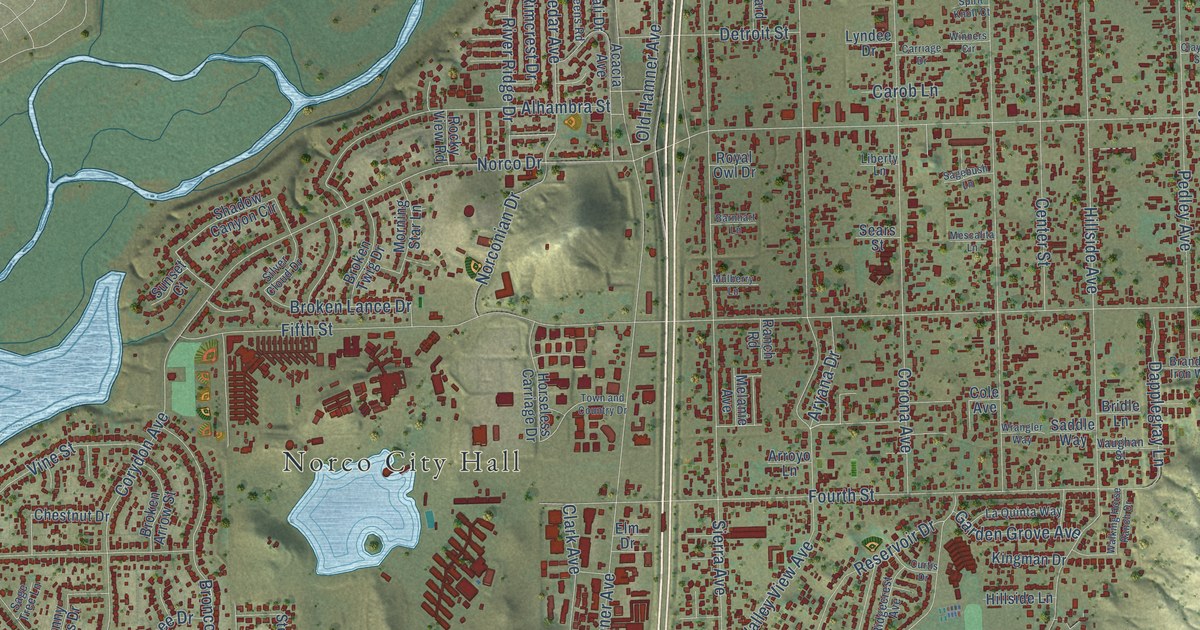
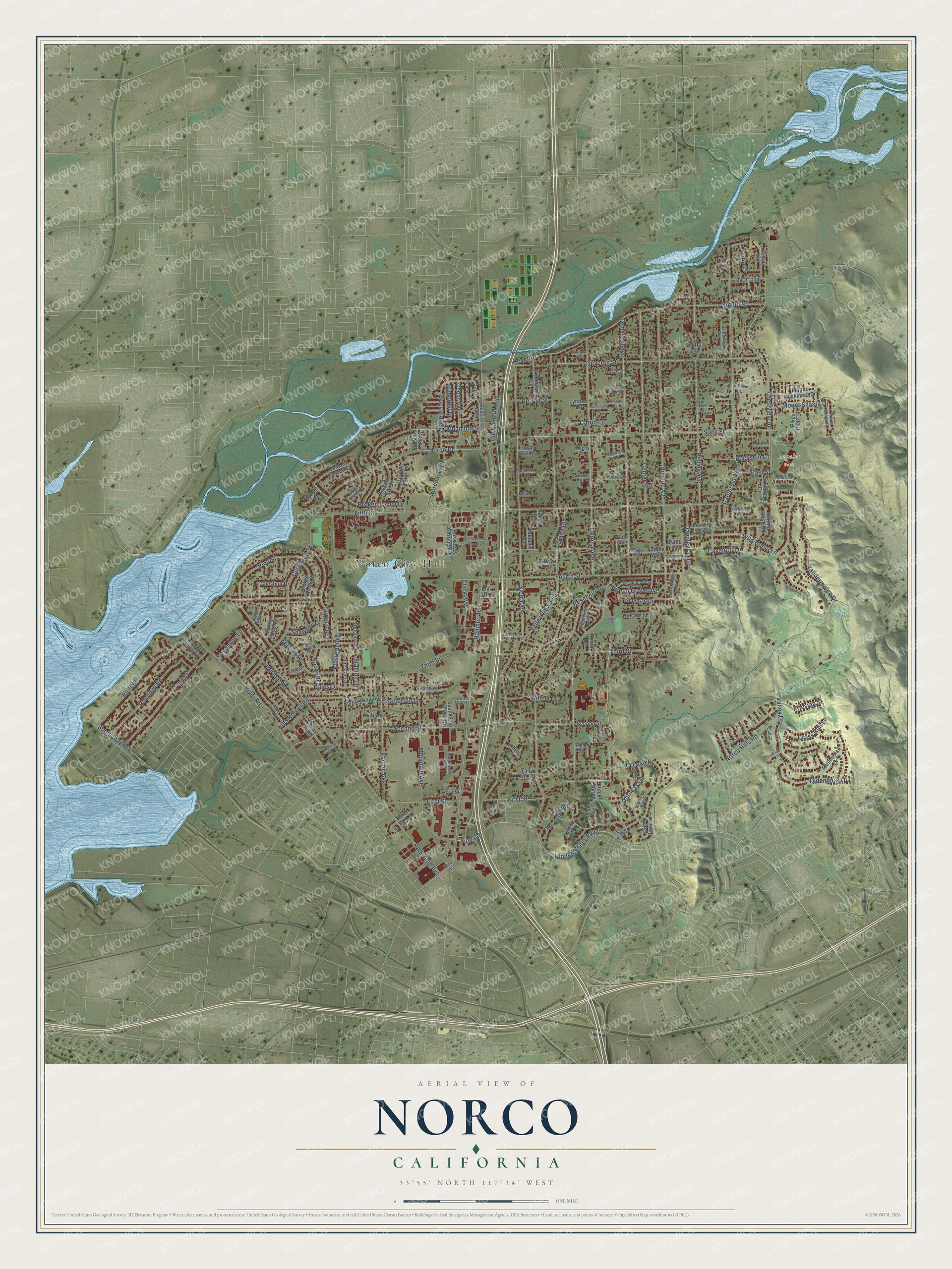
This beautifully detailed map of Norco, California was created in 2026 using aerial imagery combined with modern topographical, census, street and landmark data. It's a modern aerial view of Norco in Riverside County, California, that combines modern data with a vintage aesthetic. The roads feature printed names, and if you look closely you can find your exact house accurately shown in its correct location.
Explore an aerial view of Norco, California
On this map you'll find Norco City Hall, Ingalls Park, Hillside Avenue, First Street, Hidden Valley Parkway, River Drive, Third Street, Yuma Drive, Hamner Avenue, Valley View Avenue, Corona Avenue, Temescal Avenue, and more. Each red shape is a building, so zoom in on the preview and look for yours.
Norco is a city in Riverside County. The Census Bureau counted 26,316 people here in 2020. The map prints the town name in its title panel, with the coordinates below it.
Take a closer look at the Norco map
Names on this map
These names are printed on this map.
Places: Norco City Hall and Ingalls Park.
Streets and roads: Hillside Avenue, First Street, Hidden Valley Parkway, River Drive, Third Street, Yuma Drive, Hamner Avenue, Valley View Avenue, Corona Avenue, Temescal Avenue, Fifth Street, Crestview Drive.
More street names, A to Z
Acacia Avenue, Acre Street, Alhambra Street, Andalusian Drive, Arroyo Lane, Aryana Drive, Auto Mall Drive, Barnhart Lane, Belgian Drive, Big Pine Lane, Bluff Street, Branding Iron Way, Bridle Lane, Broken Arrow Street, Broken Lance Drive, Broken Twig Drive, Bronco Lane, Buckskin Lane, Calico Court, California Avenue, Canyon View Place, Carob Lane, Carriage Drive, Carson Lane, Carthay Drive, Cavaletti Lane, Cedar Avenue, Center Street, Chatterton Lane, Chestnut Drive, Clark Avenue, Clayton Street, Cole Avenue, Corydon Avenue, Cota Street, Cross Rail Lane, Curtis Drive, Cutting Horse Road, Dales Drive, Dapplegray Lane, Del Mar Road, Detroit Street, East Street, Eighth Street, Elm Drive, El Paso, El Paso Drive, Filly Lane, Fourth Street, Friesian Street, Garden Grove Avenue, Grulla Court, Harness Lane, Hillkirk Lane, Hillside Lane, Hilltop Lane, Horseless Carriage Drive, Industrial Avenue, Kingman Drive, Kips Korner Road, La Quinta Way, Latigo Court, Liberty Lane, Lonestar Drive, Lyndee Drive, Melanie Avenue, Mescalita Lane, Morgan Drive, Morning Star Lane, Mountain Avenue, Mount Rushmore Drive, Mount Shasta Drive, Mount Shasta Place, Mount Verde Drive, Mulberry Lane, Mustang Lane, Norco Drive, Norco Hills Road, Norconian Drive, North Drive, Oldenburg Lane, Old Hamner Avenue, Pacer Drive, Pacific Avenue, Paddock Lane, Pali Drive, Palomino Avenue, Parkridge Avenue, Pedley Avenue, Pikes Peak Drive, Pinto Lane, Pinto Place, Pompano Place, Proctor Lane, Queens Road, Ranch Road, Raquel Road, Rawhide Court, Reservoir Drive, Ridgecrest Avenue, Riding Ring Road, Rimcrest Drive, River Ridge Drive, River Road, Rocking Rm Lane, Rock Spring, Rocky View Road, Rose Court, Roundup Road, Royal Owl Drive, Saddle Way, Sagebush Lane, Sage Tree Lane, Santa Anita Road, Scotts Lane, Sears Street, Second Street, Seventh Street, Shadow Canyon Circle, Shawnee Drive, Sierra Avenue, Silver Cloud Drive, Sixth Street, Southfork Drive, South Four Wheel Drive, Spirit Knoll Court, Stagecoach Drive, Stallion Drive, Stetson Drive, Stirrup Way, Sundance Lane, Sunny Hills Drive, Sunset Court, Tally Ho Lane, Thoroughbred Lane, Three Bar Lane, Tonto Bar Lane, Town and Country Drive, Trail Street, Trotter Trail, Tucson Avenue, Valley Drive, Vandermolen Drive, Vaughan Street, Viceroy Avenue, Vine Street, Wagon Wheel Road, Walking Horse Ranch Drive, Welsh Drive, Western Avenue, Wild Horse Lane, Willow Drive, Winners Circle, Woodward Avenue, Wrangler Way, Wraymar Lane, Wyatt Place.
Created by KNOWOL in 2026. The buildings are small red shapes, the roads carry their printed names, and shaded relief shows the shape of the land. The title panel reads "AERIAL VIEW OF NORCO CALIFORNIA" with 33°55' NORTH 117°34' WEST.
It suits a den, a classroom or a front hall, and it makes a gift for anyone with Norco roots. Open the preview and find the block you know. See sizes and frames for the Norco map.