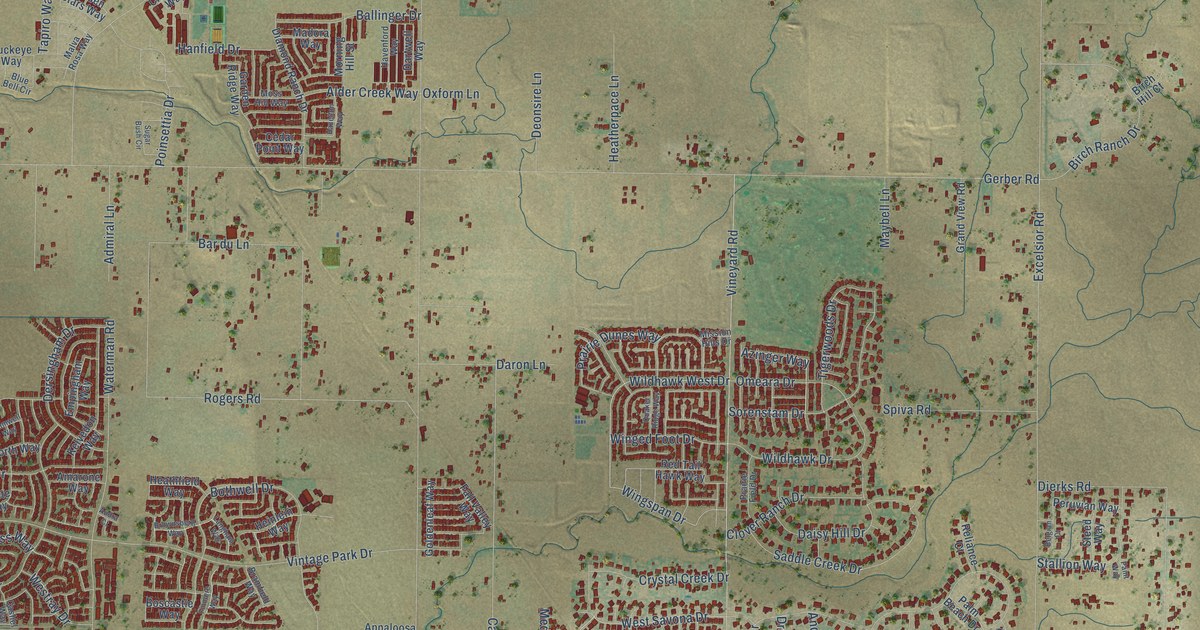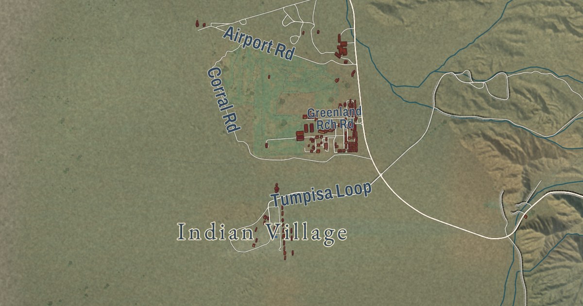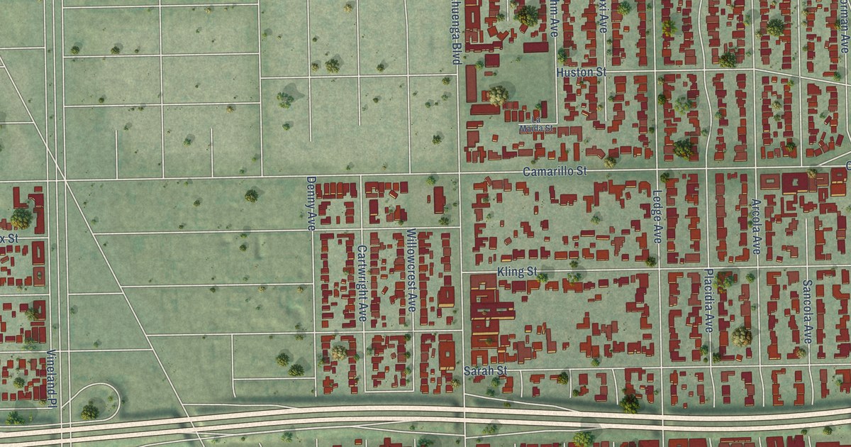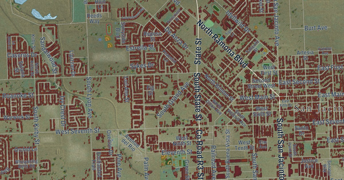
This beautifully detailed map of San Jacinto, California was created in 2026 using aerial imagery combined with modern topographical, census, street and landmark data. It’s a one-of-a-kind view of San Jacinto that combines accurate data with a vintage aesthetic. The map shows every building in its true location, many of the roads carry their names, and the shaded topographic relief shows the shape of the land.
Explore an aerial view of San Jacinto, California
On the map you’ll find San Jacinto City Hall and Quality Turf, along with State Street, South San Jacinto Avenue, North Ramona Boulevard, County Road R3, North State Street, South State Street, Ramona Expressway, West Ramona Expressway, East Main Street, East Seventh Street, and more. If you look closely you can even find your house accurately drawn in its correct location. Zoom in on the preview to look for yours.
Did you know this piece of San Jacinto, California history?
From the National Register of Historic Places: "The Estudillo Mansion, together with the Railroad stop built on land donated by Francisco Estudillo adjacent to the Mansion property, became the center point for the growth of the new town of San Jacinto."
Take a closer look at the San Jacinto map
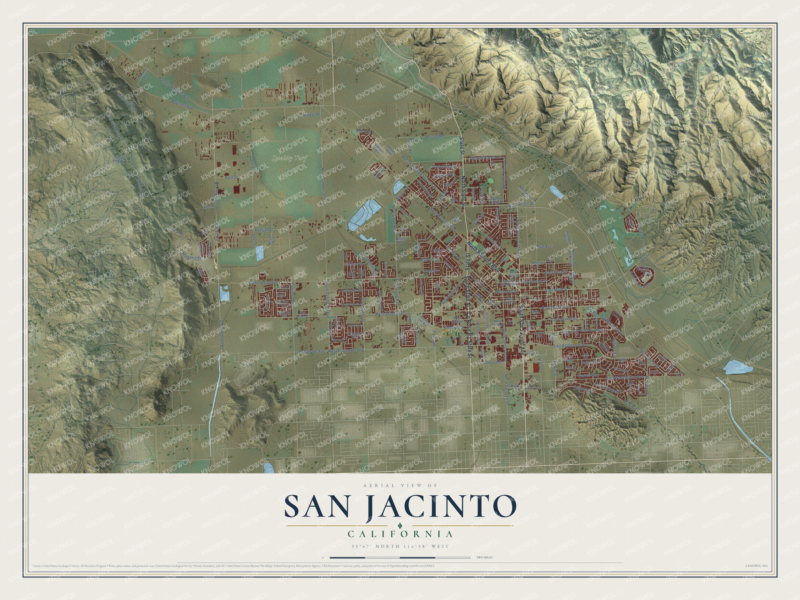
Street and place names on the San Jacinto, California map
These names are printed on the map of San Jacinto, California.
Places: San Jacinto City Hall and Quality Turf.
Streets and roads: State Street, South San Jacinto Avenue, North Ramona Boulevard, County Road R3, North State Street, South State Street, Ramona Expressway, West Ramona Expressway, East Main Street, East Seventh Street, Mountain Avenue, North San Jacinto Avenue.
More street names, A to Z
Acorn Drive, Agape Avenue, Alder Avenue, Alessandro Avenue, Amherst Way North, Artesia Street, Avenue del Rio, Avenue Roundelay, Baycrest Avenue, Bergin Street, Burgundy Lace Lane, Burt Avenue, Byrd Street, Cam de Oro, Cam Los Banos, Capet Street, Caseros Drive, Cawston Avenue, Chardonnay Place, Chase Street, Chastity Road, Chatham Way, Conrad Place, Cottonwood Avenue, Country Village Drive, Courtland Avenue, Crane Street, Cypress Avenue, Cypress Drive, De Anza Drive, Deegan Street, Duncan Drive, Eagle Drive, Eagle Road, East Beringer Drive, East Esplanade Avenue, East Evans Street, East Fifth Street, East First Street, East Midway Avenue, East Second Street, East Shaver Street, East Washington Avenue, Echo Road, Eleventh Street, Elm Avenue, Enchanted Trail, Esplanade Avenue, Estrella Street, Eureka Road, Fig Street, Garrett Way, Gateway Avenue, Girard Street, Gold Street, Grassy Meadow Drive, Green Street, Groveside Drive, Harbor Street, Hartley Parkway, Hewitt Street, Hooper Drive, Idyllwild Drive, Ivy Crest Drive, Julian Avenue, Justice Avenue, Katrina Lane, Kirby Street, La Boca Street, La Entrada, Lake Park Drive, Las Rosas Drive, Laurelhurst Heights, Lipizzan Drive, Lori Ann Street, Luna Way, Malaga Drive, Market Place, Melville Avenue, Meridian Street, Michel Road, Midway Street, Mike Reed Road, Montara Way, Mulberry Street, Nantucket Street, Napa Court, Nelson Avenue, Newcastle Way, North Brinton Street, North Cam Los Banos, North Dillon Avenue, North Kirby Street, North Lyon Avenue, North Sanderson Avenue, North Santa Fe Street, North Warren Road, Oakwood Street, Odell Street, Odel Street, Old Mountain Avenue, Orchid Lane, Overton Drive, Palm Avenue, Park Avenue, Peaceful Lane, Peregrine Lane, Pine Avenue, Porterfield Drive, Potter Road, Prairie Glen Place, Pulsar View Road, Quandt Ranch Road, Railroad Avenue, Ramona Exy, Record Road, Red Pine Street, Reeds Way, Reinhart Street, Reposo Street, River Street, Roanoke Street, Rojo Lane, Rosemont Circle, Sagecrest Drive, Saint Emilion Lane, Sandalwood Street, Santo Drive, Savory Lane, Second Street West, Senator Way, Soboba Road, Soboba Springs Drive, Soboba View Drive, Solana Street, South Buena Vista Street, South Grand Avenue, South Irwin Street, South Juanita Street, South Kirby Street, South Lyon Avenue, South Sanderson Avenue, South Santa Fe Avenue, South Victoria Avenue, South Warren Road, Statue Row, Sunset Lane, Sunswept Drive, Sunyside Boulevard, Sussex Drive, Sweet Clover Loop, Sykes Drive, Tahquitz Street, Tiger Lane, Timothy Drive, Torino Avenue, Vibrant Glen, Villines Avenue, Vis del Parque, Voltaire Vis, Warren Road, Warwick Street, Western Village Drive, West Esplanade Avenue, West First Street, West Main Street, West Ninth Street, West Seventh Street, West Sixth Street, West Tenth Street, Whispering Bells Road, Win Court, Yeats Place, Young Street, Yukon Drive.
See the San Jacinto, California map on a wall
The San Jacinto map as an 18 x 24 inch print in a black frame.

This beautifully detailed map of San Jacinto makes an attractive addition to your office, library, or den, and it can even be used to teach children the geography and history of the area. It also makes a great gift for anyone who grew up in San Jacinto or moved away. When you’re done exploring, click here to get your copy of the San Jacinto map.