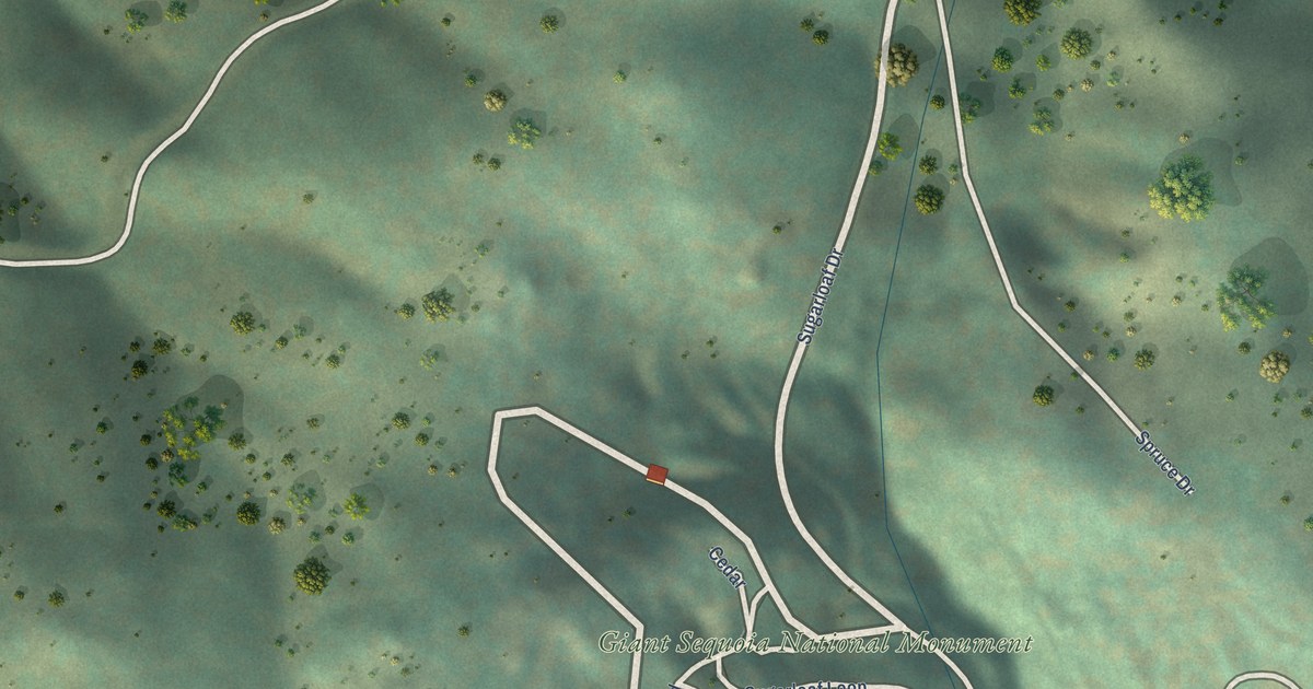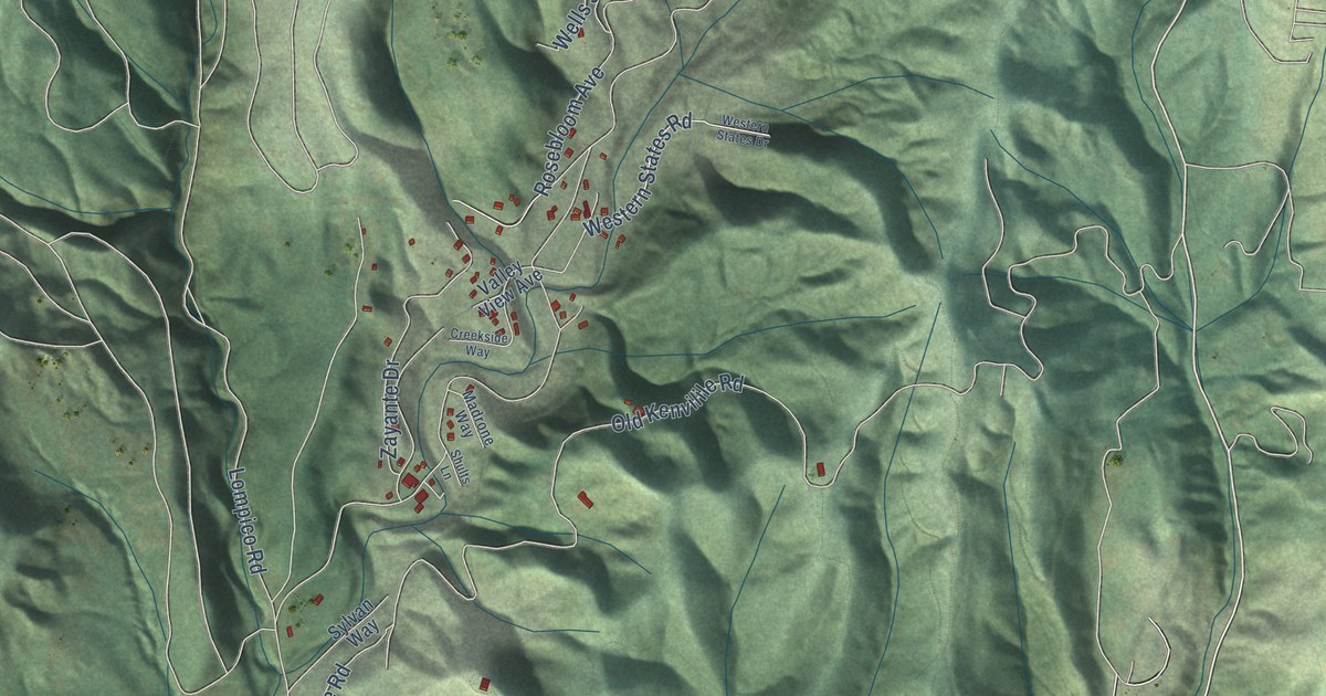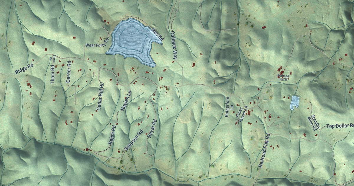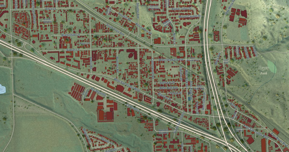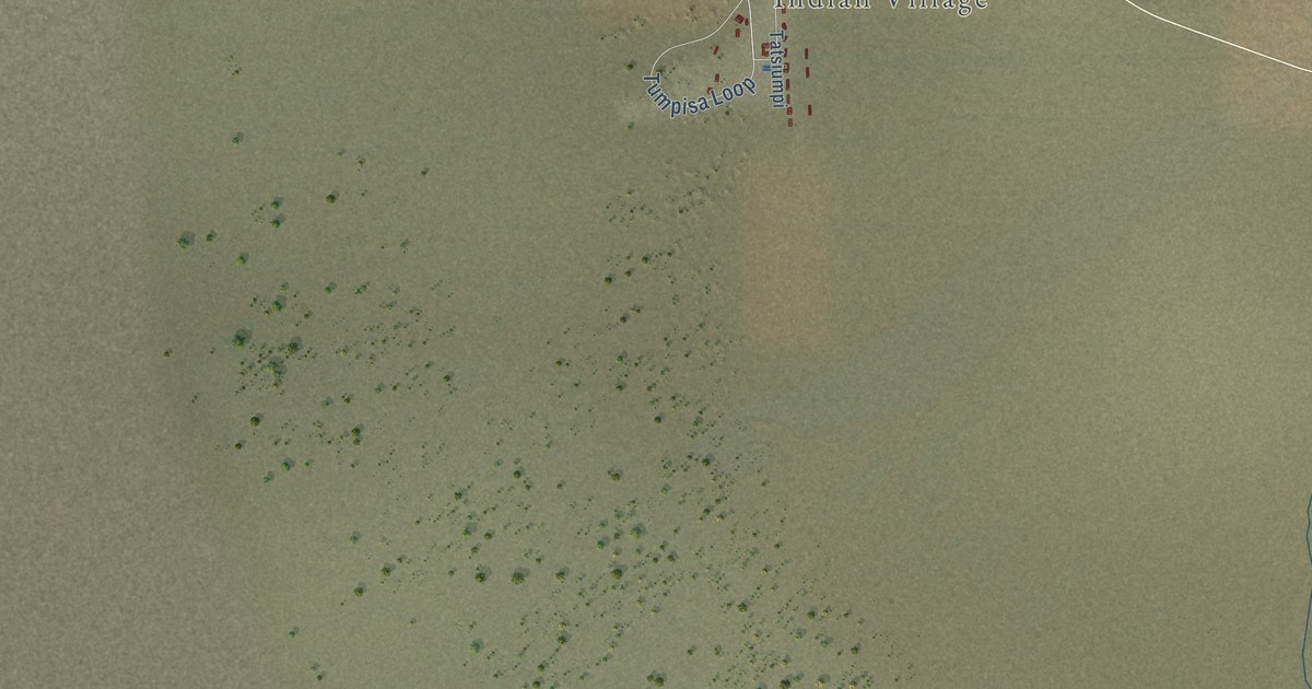
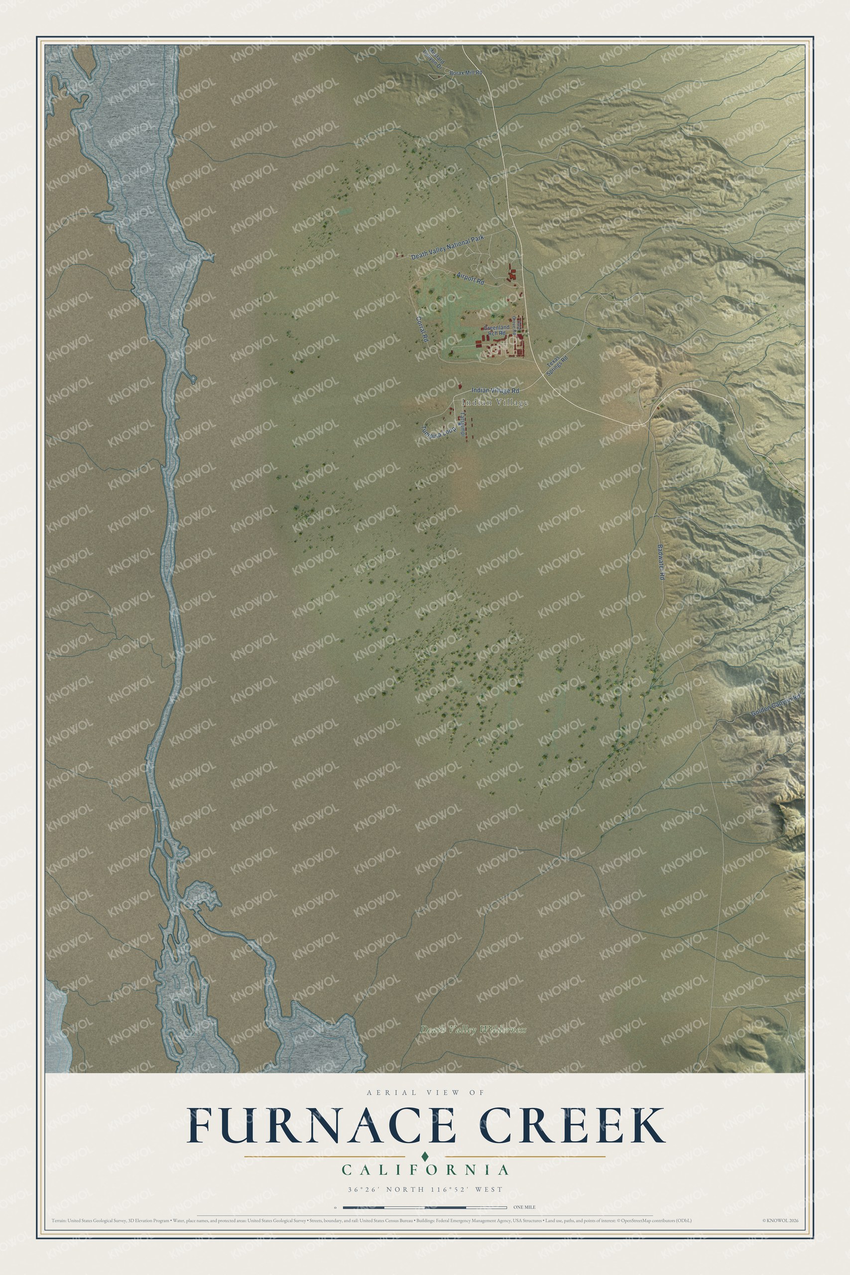
This beautifully detailed map of Furnace Creek, California was created in 2026 using aerial imagery combined with modern topographical, census, street and landmark data. It's a modern aerial view of Furnace Creek in Inyo County, California, that combines modern data with a vintage aesthetic. The roads feature printed names, and if you look closely you can find your exact house accurately shown in its correct location.
Explore an aerial view of Furnace Creek, California
On this map you'll find Indian Village, Death Valley Wilderness, Death Valley National Park, Tumpisa Loop, Indian Village Road, Badwater Road, Corral Road, Airport Road, Golden Canyon Road, Texas Springs Road, Borax Mill Road, Tatsiumpi, and more. Each red shape is a building, so zoom in on the preview and look for yours.
Furnace Creek has a story worth telling. Furnace Creek is home to the Timbisha Shoshone Village. The Timbisha people, part of the larger Western Shoshone, have lived in the Death Valley region for thousands of years, known for expert basket weaving, their use of native plants, and a deep spiritual bond with the land. Today the Tribe broadcasts KDVY 94.5 FM, Timbisha Free Radio, live from the village. That's from the Timbisha Shoshone Tribe.
Furnace Creek is a community in Inyo County. The Census Bureau counted 136 people here in 2020.
Take a closer look at the Furnace Creek map
Names on this map
These names are printed on this map.
Places: Indian Village, Death Valley Wilderness and Death Valley National Park.
Streets and roads: Tumpisa Loop, Indian Village Road, Badwater Road, Corral Road, Airport Road, Golden Canyon Road, Texas Springs Road, Borax Mill Road, Tatsiumpi, Greenland Rch Road, Mustard Canyon Drive and Date Grove Road.
See it on a wall
The Furnace Creek map as a framed print. Swipe for more.


Created by KNOWOL in 2026. The buildings are small red shapes, the roads carry their printed names, and shaded relief shows the shape of the land. The title panel reads "AERIAL VIEW OF FURNACE CREEK, CALIFORNIA" with 36°26' NORTH 116°52' WEST.
It looks right in a kitchen, an office or a den, and it's a gift for anyone who grew up in Furnace Creek or moved away. Open the preview and find your street. See sizes and frames for the Furnace Creek map.