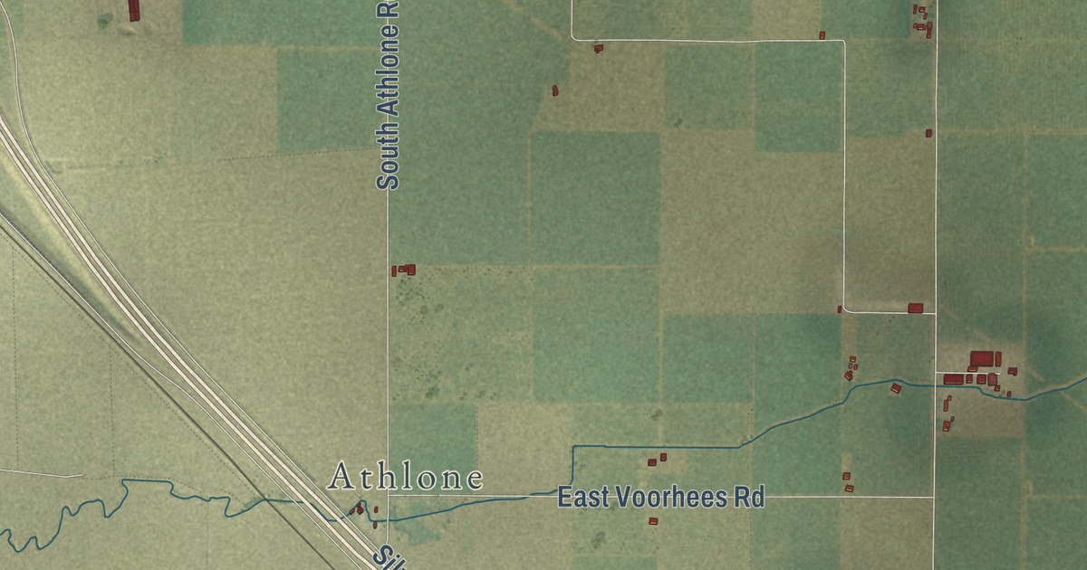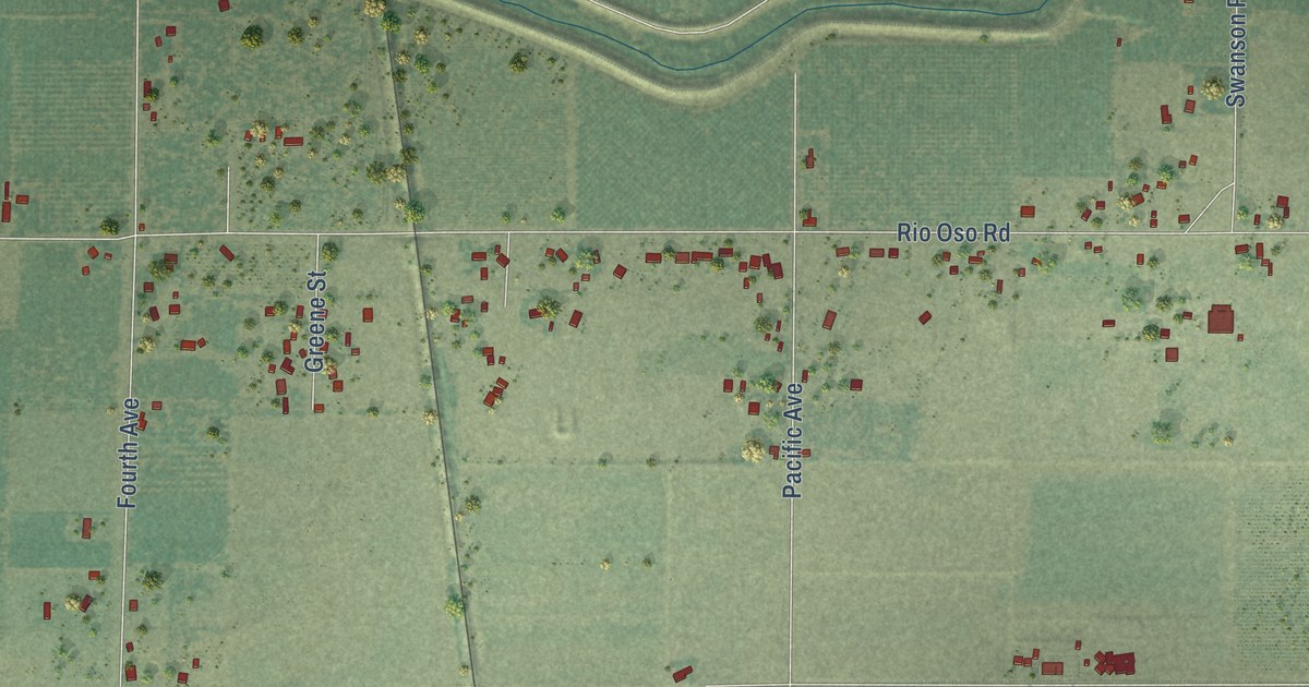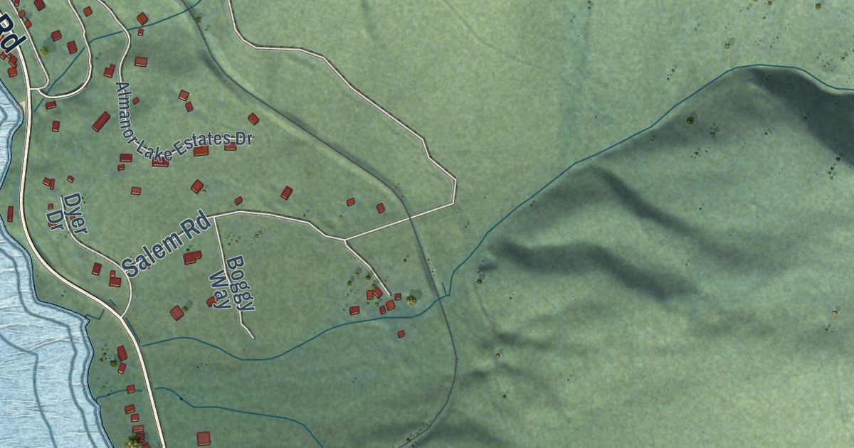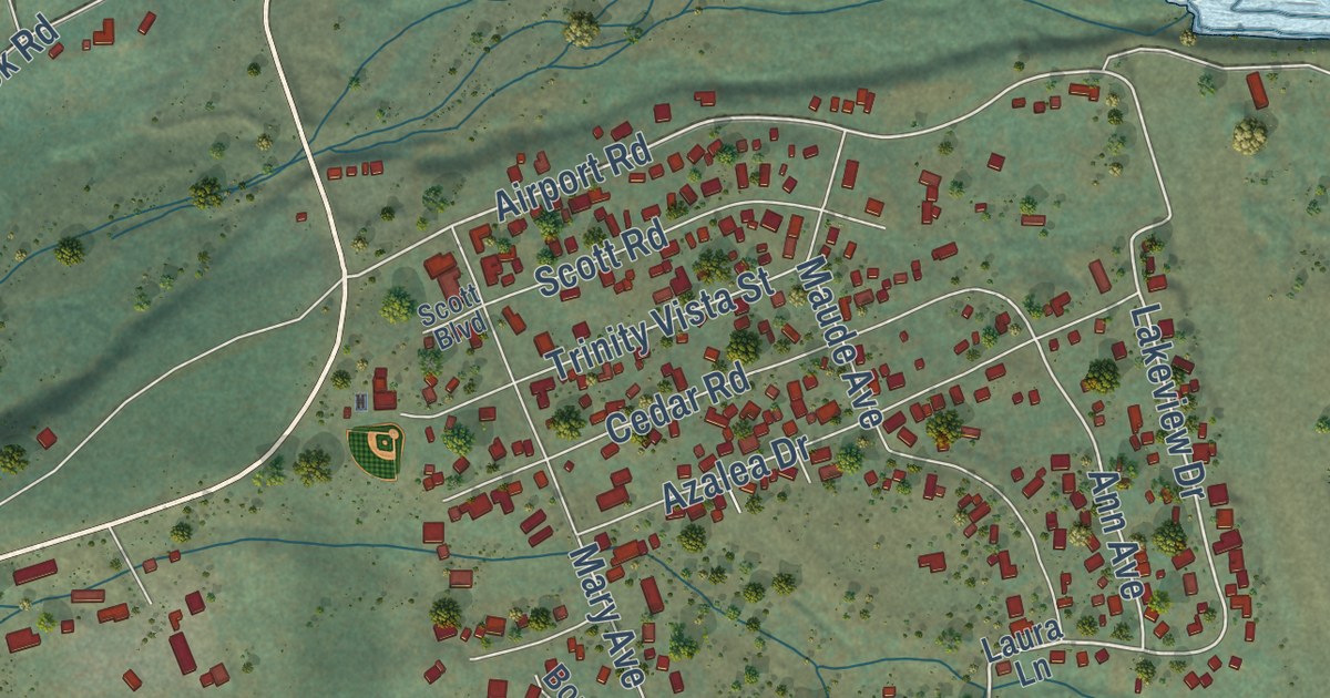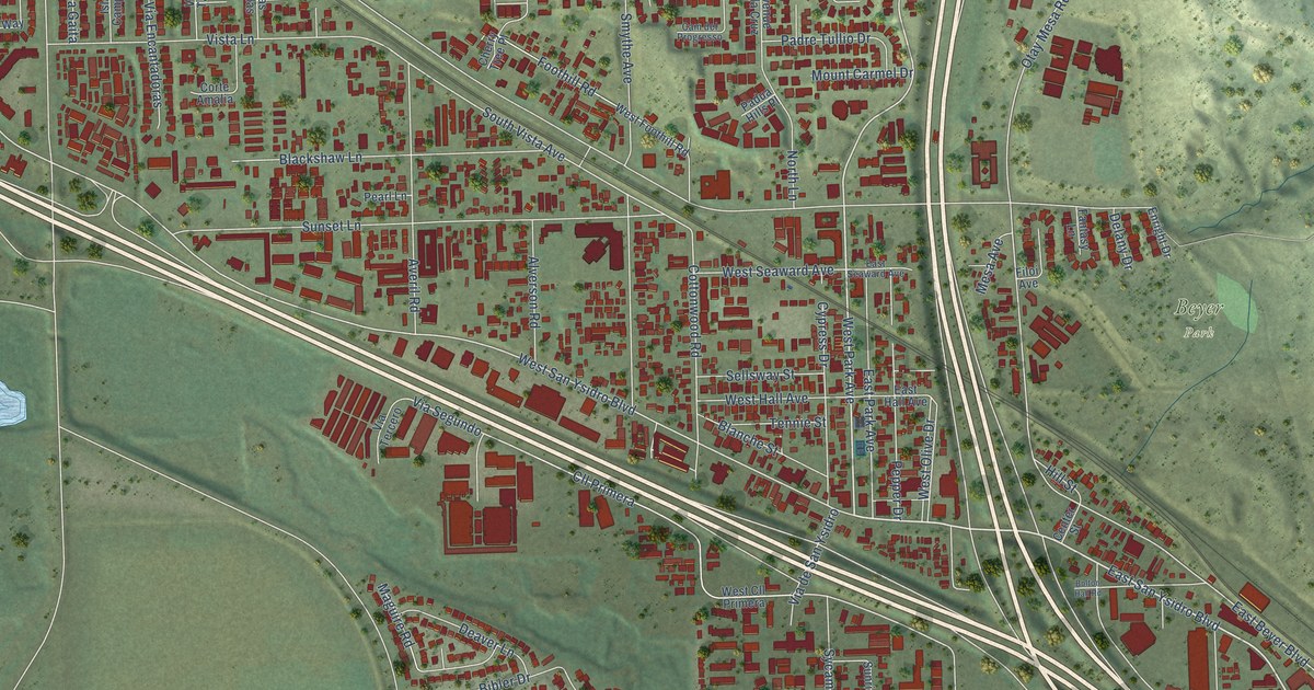
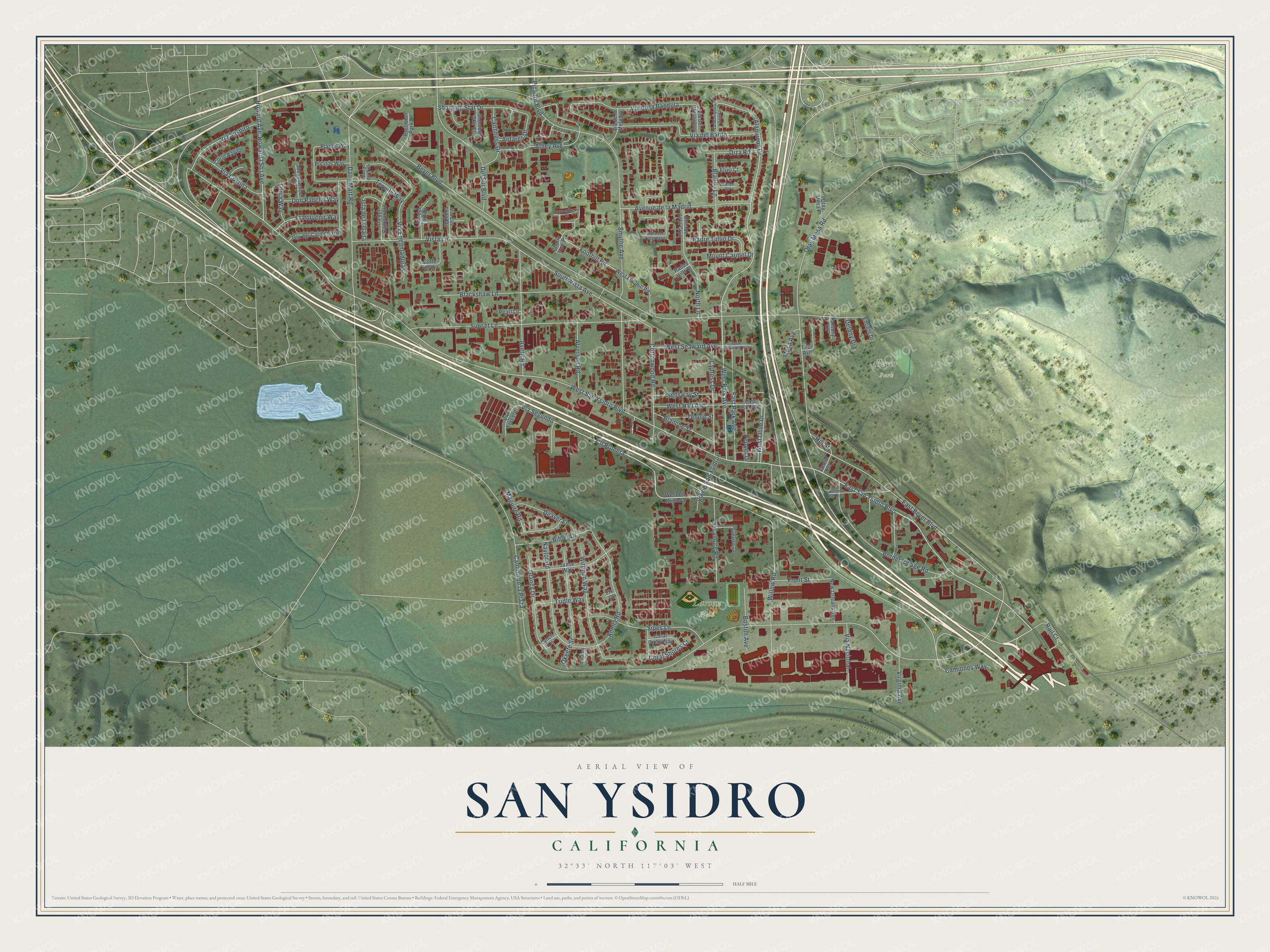
This beautifully detailed map of San Ysidro, California was created in 2026 using aerial imagery combined with modern topographical, census, street and landmark data. It’s a one-of-a-kind view of San Ysidro that combines accurate data with a vintage aesthetic. The map shows every building in its true location, many of the roads carry their names, and the shaded topographic relief shows the shape of the land.
Explore an aerial view of San Ysidro, California
On the map you’ll find Beyer Park, Larsen Field, Via Segundo, and Cll Primera, along with East San Ysidro Boulevard, West Park Avenue, Alaquinas Drive, West San Ysidro Boulevard, Cottonwood Road, Otay Mesa Road, East Beyer Boulevard, South Vista Avenue, and more. If you look closely you can even find your house accurately drawn in its correct location. Zoom in on the preview to look for yours.
Did you know this piece of San Ysidro, California history?
From the San Diego History Center: "J.W. Lewis who received the contract to build the first house in San Ysidro luckily had first choice in picking his acreage."
San Ysidro is a place in San Diego County.
Take a closer look at the San Ysidro map
Street and place names on the San Ysidro, California map
These names are printed on the map of San Ysidro, California.
Places: Beyer Park and Larsen Field.
Streets and roads: East San Ysidro Boulevard, West Park Avenue, Alaquinas Drive, Via Segundo, West San Ysidro Boulevard, Cll Primera, Cottonwood Road, Otay Mesa Road, East Beyer Boulevard, South Vista Avenue, Anella Road, Via de la Bandola.
More street names, A to Z
Alverson Road, Antares Drive, Athey Avenue, Avenue de la Cruz, Avenue de la Madrid, Averil Road, Beyer Boulevard, Bibler Drive, Blackshaw Lane, Blanche Street, Blando Court, Blando Lane, Boca del Tule, Bolton Hall Road, Border Village Road, Boston Avenue, Boysenberry Court, Caithness Drive, Cam del Progresso, Camino de la Plaza, Camiones Way, Center Street, Cherry Tree Place, Coral Crest Way, Coral Shores Court, Corte Amalia, Corte Rayito, Cypress Drive, Dairy Mart Road, Deaver Lane, Delany Drive, Del Sur Boulevard, Diza Road, Don Pancho Way, East Hall Avenue, East Park Avenue, East Seaward Avenue, Elivo Court, El Porvenir Way, Enright Drive, Fantasy Lane, Filoi Avenue, Fix Court, Foothill Road, Front Street, Glancy Drive, Hill Street, Howard Avenue, Isla de la Gaita, Isla del Campanero, Isla del Carmen Way, Janse Way, La Mariquita Senda, Lonja Way, Lynch Lane, Maguire Road, Meadowood Court, Mesa Avenue, Mount Carmel Drive, Naylor Road, New Orleans Avenue, North Lane, Okeefe Street, Otay Mesa Place, Padre Tullio Drive, Padua Hills Place, Pearl Lane, Pepper Drive, Picador Boulevard, Plantel Way, Pocitos Way, Precision Park Lane, Quilalang Court, Rail Court, Sellsway Street, Shooting Star Court, Shooting Star Drive, Sipes Lane, Smythe Avenue, Sunrise Drive, Sunset Lane, Sycamore Road, Tennie Street, Tequila Way, Tridle Way, Via Costina, Via de la Melodia, Via del Bardo, Via del Mesonero, Via del Tanido, Via de San Ysidro, Via Encantadoras, Via Las Tonadas, Via Nacional, Via Suspiro, Via Tercero, Virginia Avenue, Vista Lane, West Cll Primera, West Foothill Road, West Hall Avenue, West Olive Drive, West Seaward Avenue, Willow Road, Wittman Way.
See the San Ysidro, California map on a wall
The San Ysidro map as an 18 x 24 inch print in a black frame.

This beautifully detailed map of San Ysidro makes an attractive addition to your office, library, or den, and it can even be used to teach children the geography and history of the area. It also makes a great gift for someone who left San Ysidro and still calls it home. When you’re done exploring, click here to get your copy of the San Ysidro map.