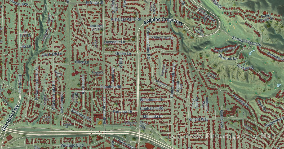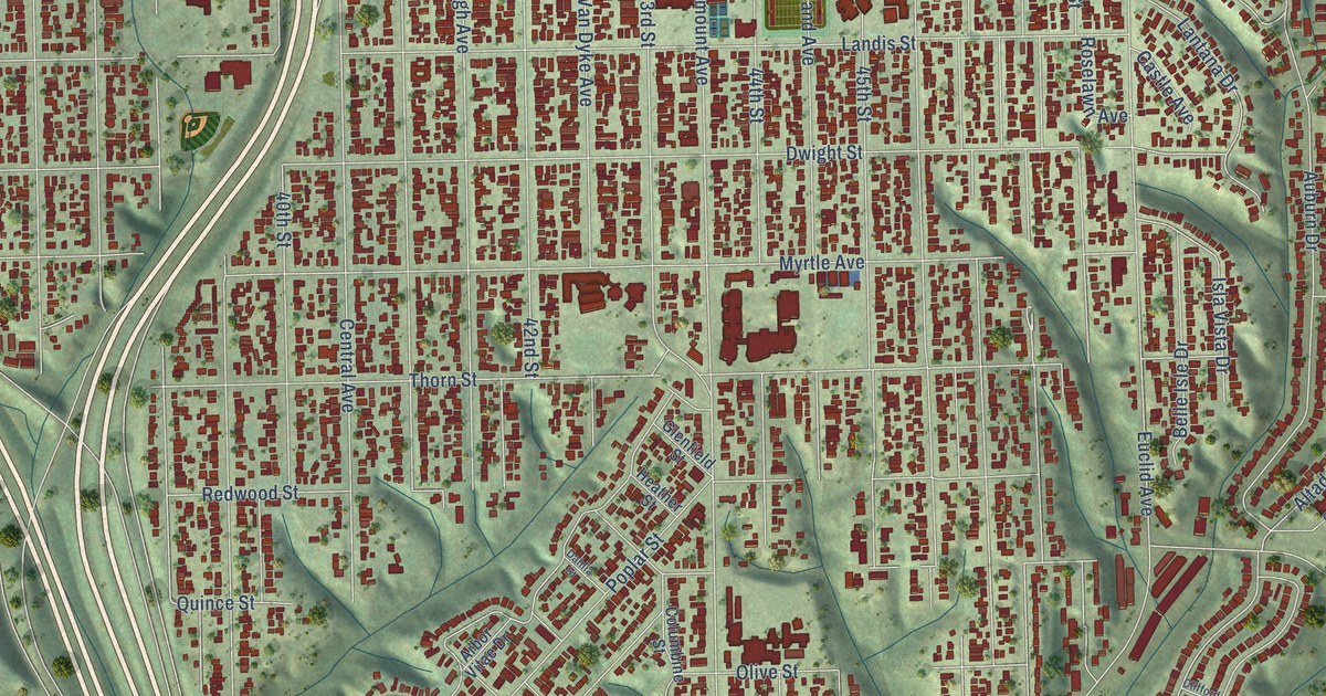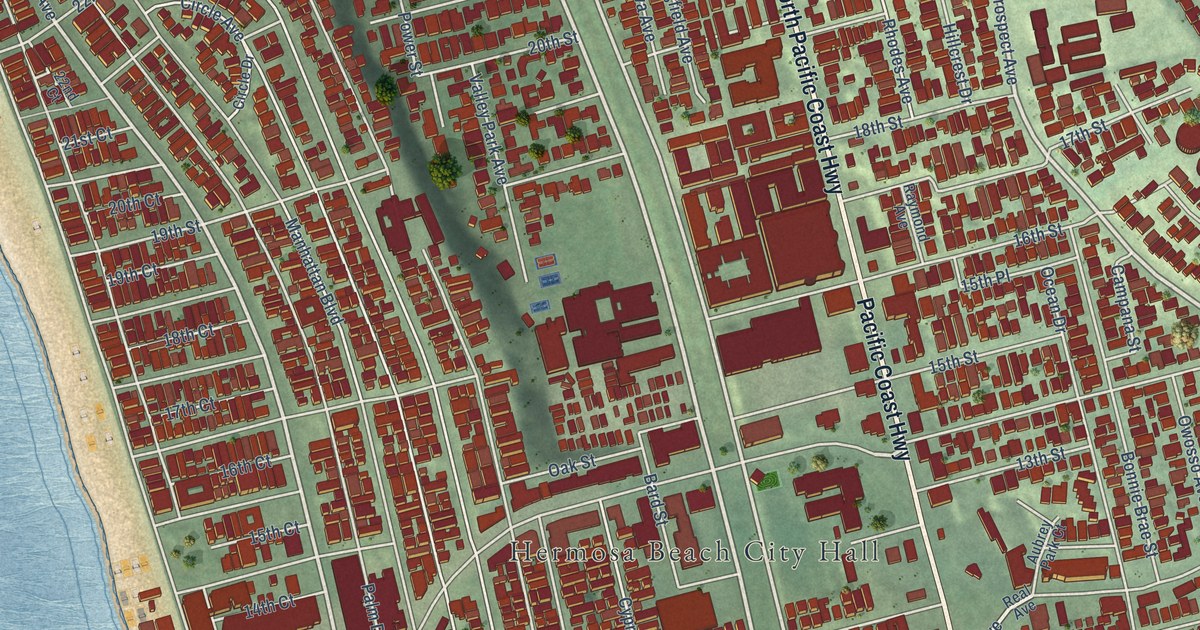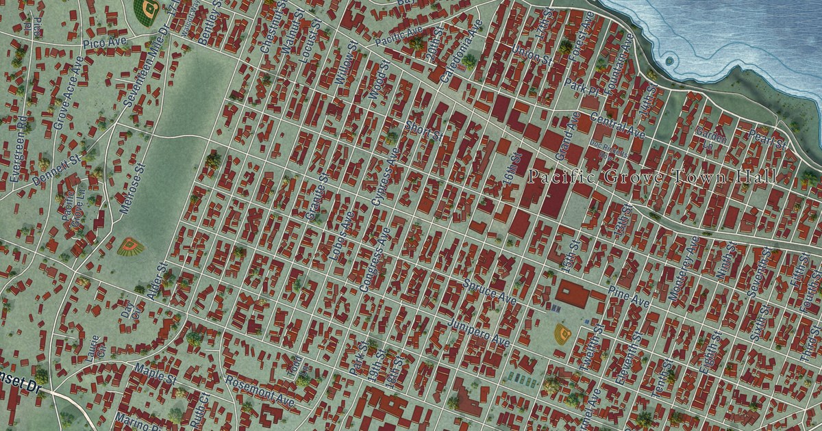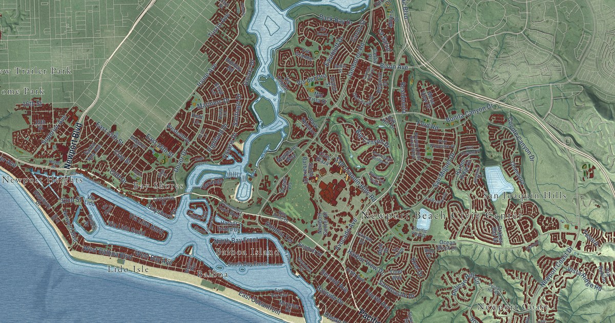
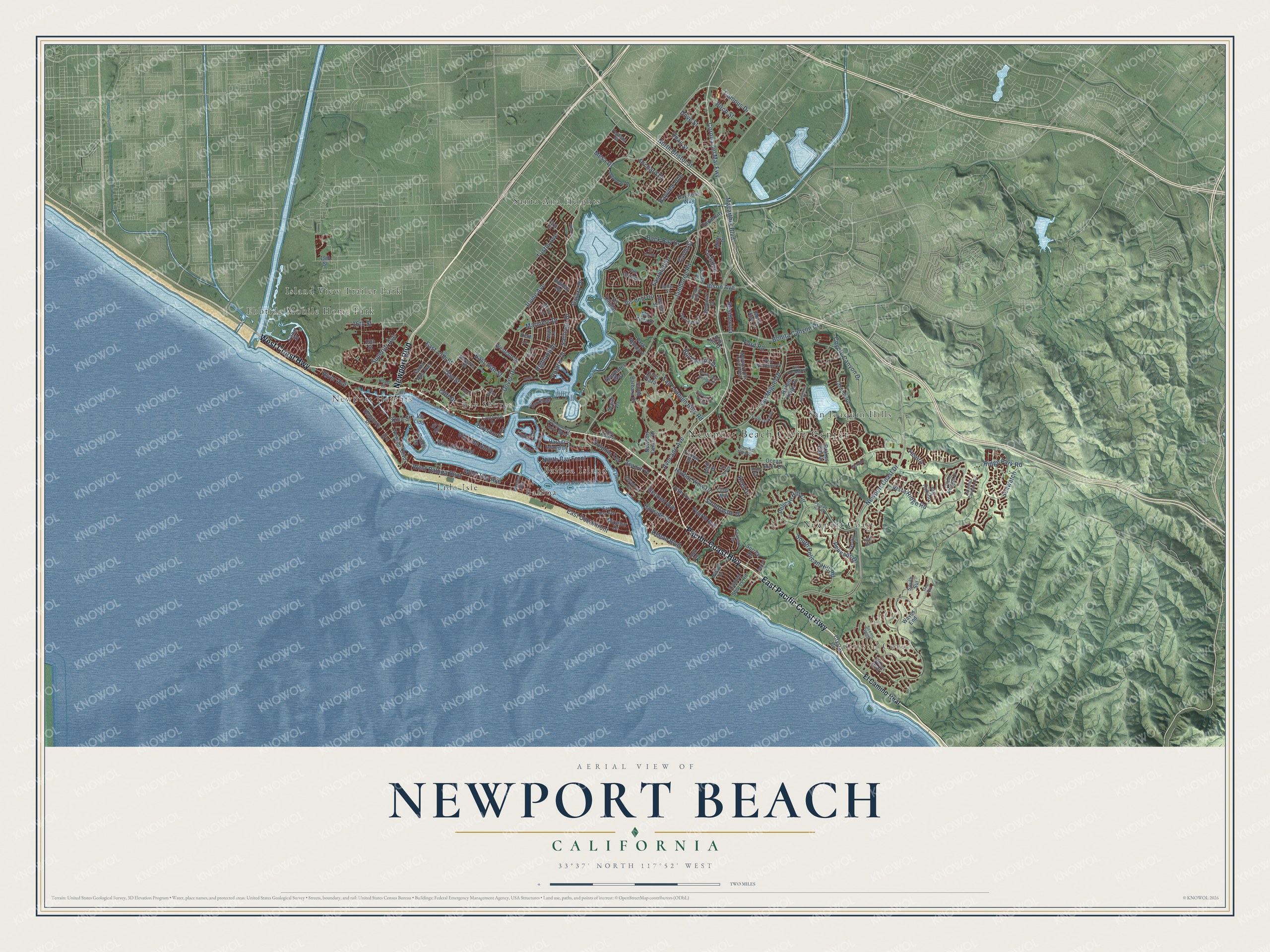
This beautifully detailed map of Newport Beach, California was created in 2026 using aerial imagery combined with modern topographical, census, street and landmark data. It's a modern aerial view of Newport Beach in Orange County, California, that combines modern data with a vintage aesthetic. The roads feature printed names, and if you look closely you can find your exact house accurately shown in its correct location.
Explore an aerial view of Newport Beach, California
On this map you'll find Newport Beach Civic Center, Crystal Cove, Balboa, Balboa Island, Bay Shores, Ebbtide Mobile Home Park, Island View Trailer Park, Lido Isle, Newport Coast, Newport Heights, San Joaquin Hills, Santa Ana Heights, and more. Each red shape is a building, so zoom in on the preview and look for yours.
Every town has a first chapter, and Newport Beach is no exception. The record at ohp.parks.ca.gov puts it this way: "Abbott opened Newport Bay to commerce when they entered it for the first time on the sternwheel steamer Vaquero ."
Newport Beach is a city in Orange County. The Census Bureau counted 85,239 people here in 2020.
Take a closer look at the Newport Beach map
Names on this map
These names are printed on this map.
Places: Newport Beach Civic Center, Crystal Cove, Balboa, Balboa Island, Bay Shores, Ebbtide Mobile Home Park, Island View Trailer Park, Lido Isle, Newport Coast, Newport Heights, San Joaquin Hills and Santa Ana Heights.
Streets and roads: Newport Boulevard, East Pacific Coast Highway, Pacific Coast Highway, West Coast Highway, West Balboa Boulevard, Ford Road, Big Canyon Drive, Bison Avenue, Santiago Drive, Bonita Canyon Drive, East Oceanfront, Corona del Mar Fwy.
More street names, A to Z
15th Street, 16th Street, 19th Street, 23rd Street, 29th Street, 32nd Street, Anita Lane, Anniversary Lane, Aralia Street, Atoll Drive, Avocado Avenue, Back Bay Drive, Bayadere Terrace, Bay Hill Drive, Bayshore Drive, Bayside Drive, Bayview Avenue, Bayview Way, Beach Drive, Belcourt Drive, Bellis Street, Beryl Lane, Birch Street, Blue Ky, Cameo Shores Road, Campus Drive, Canal Street, Cape Andover, Carob Street, Celtis Place, Chambord, Chandon, Civic Plaza, Clay Street, Cliff Drive, Coastal Canyon Drive, Coral Place, Country Club Drive, Coyote Canyon Drive, Crestview Drive, Crown Drive, Crystal Cv, Devon Lane, Dolphin Terrace, Dover Drive, Dove Street, Drakes Bay Drive, East 15th Street, East 16th Street, East Bay Avenue, Eastbluff Drive, El Camino Real, Fifth Avenue, Fourth Avenue, Galaxy Drive, Garrett Drive, Harbor Island Drive, Harbor Island Road, Harbor Ridge Drive, Harbor View Drive, Heather Lane, Highland Drive, Hoag Drive, Holiday Road, Irvine Avenue, Jamboree Road, Keel Drive, Kent Lane, Kings Place, La Salud, Linda Isle, Macarthur Boulevard, Margaret Drive, Mariners Drive, Mar Vista Drive, Medina Way, Mesa Drive, Mesa View Drive, Milano Drive, Milford Drive, Miramar Drive, Newport Center Drive, Newport Coast Drive, Newporter Way, Newport Hills Drive West, North Bay Front, North Bristol Street, Ocean Birch Drive, Ocean Boulevard, Ocean Heights Drive, Ocean Vis, Old Course Drive, Orchard Drive, Pacific View Drive, Park Newport, Pegasus Street, Pelican Hill Circle, Pelican Hill Road, Pelicans Drive, Polaris Drive, Poppy Avenue, Port Durness Place, Port Provence Place, Promontory Drive West, Quail Street, Residencia, Ridgeline Drive, Ridge Park Road, River Avenue, Royal Saint George Road, Rue Grand Vallee, Sandcastle Drive, San Joaquin Hills Road, San Miguel Drive, Santa Ana Avenue, Santa Barbara Drive, Saratoga, Scenic Bluff, Seadrift Drive, Sea Fair, Seashore Drive, Seaward Road, Seawatch, Second Avenue, Skyridge, Sky Sail Drive, South Bay Front, South Pelican Hill Road, South Sur, Superior Avenue, Surrey Drive, Tesoro, Tidal Surf, Tideline Bluff, Tiller Way, Tustin Avenue, University Drive, Via Eboli, Via Lido, Via Lido Nord, Via Lido Soud, Via Rubino, Villa Point Drive, Vis Caudal, Vis del Oro, Vis Grande, Vis Suerte, Vista Ridge Road, Waves End, West Bay Avenue, Westcliff Drive, Yacht Coquette.
Created by KNOWOL in 2026. The buildings are small red shapes, the roads carry their printed names, and shaded relief shows the shape of the land. The title panel reads "AERIAL VIEW OF NEWPORT BEACH CALIFORNIA" with 33°37' NORTH 117°52' WEST.
Hang it in the hallway, the office or the cabin, or give it to someone who left Newport Beach and still calls it home. Open the preview and look for a street you know. See sizes and frames for the Newport Beach map.